
BE
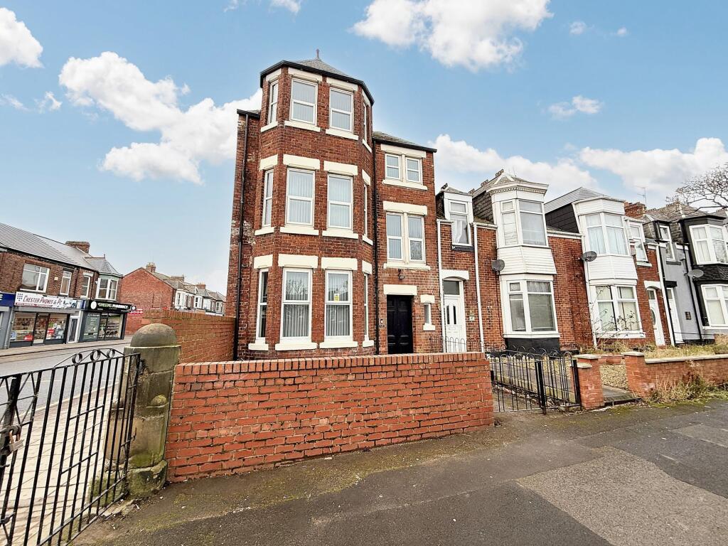
Croft Avenue, Sunderland, SR4
By bedebrooke
£ 563
bedebrooke says ..
SHARED ACCOMMODATION Rooms from £130 per week.
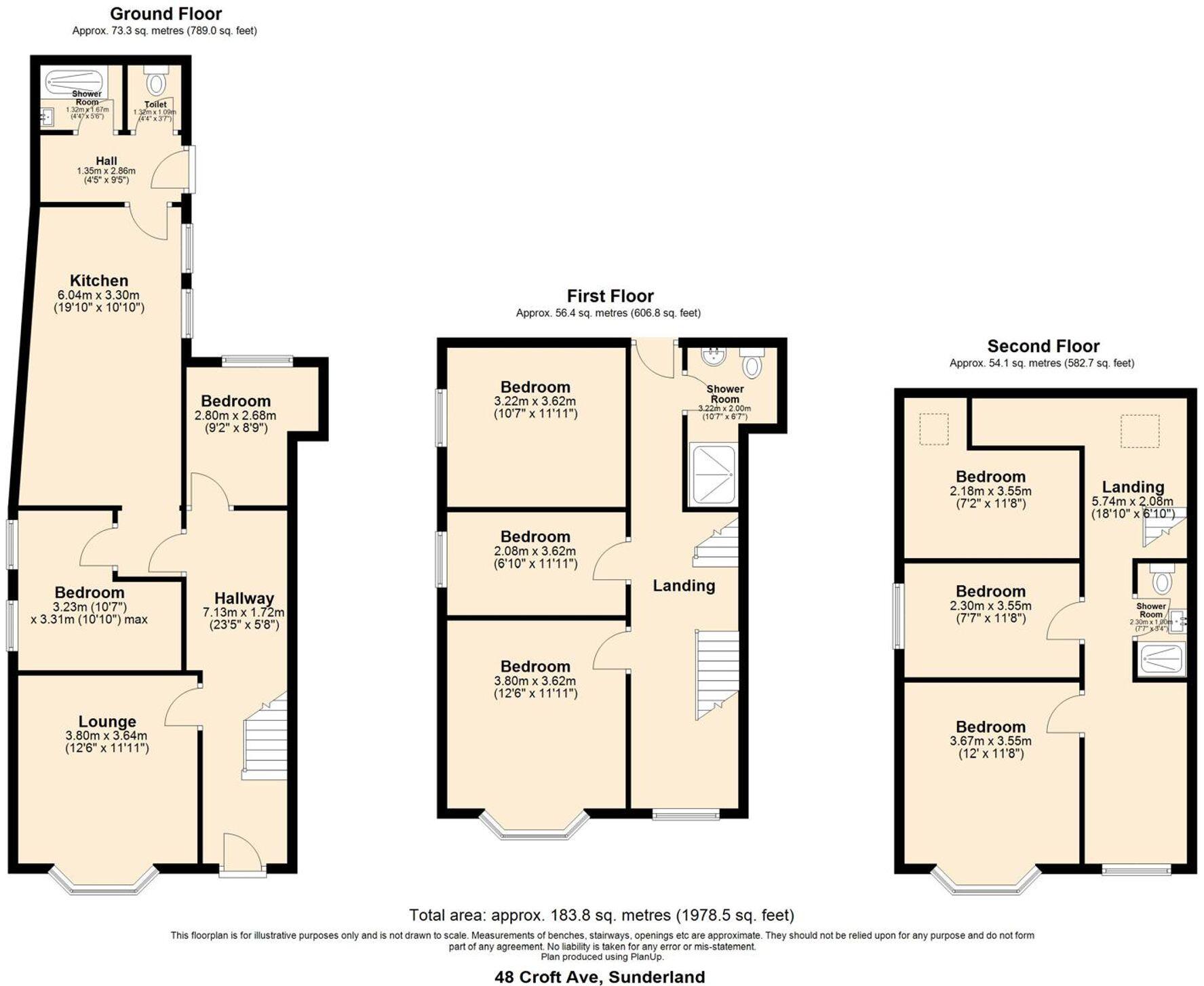
- Bedrooms
- 8
- Bathrooms
- 3
The heatmap indicates the level of crime in the area. The color of the heatmap indicates the crime severity and recency.
Metrics Year-on-Year
- Average area value
- 566,772.00 £Decreased by 52.41 %
- Average area rental value
- 3,583.00 £/moIncreased by 12.28 %
- Est rental Yield
- 7.59 %Increased by 135.71 %
- Crime Rate
- 12.00 %Unchanged by 0.00 %
from 1,190,957.00 £
from 3,191.00 £/mo
from 3.22 %
from 12.00 %
Agent Activity
bedebrooke created the listing.
Nearby Schools
| Name | Type | Ofsted | Distance |
|---|---|---|---|
| Richard Avenue Primary School | Community School | Good | 0.80 KM |
| Barnes Infant Academy | Academy Converter | Good | 0.88 KM |
| Sunderland Children'S Centre Millfield | Children's Centre Linked Site | 0.88 KM | |
| Diamond Hall Junior Academy | Academy Converter | 0.90 KM | |
| Barnes Junior School | Community School | Good | 1.00 KM |
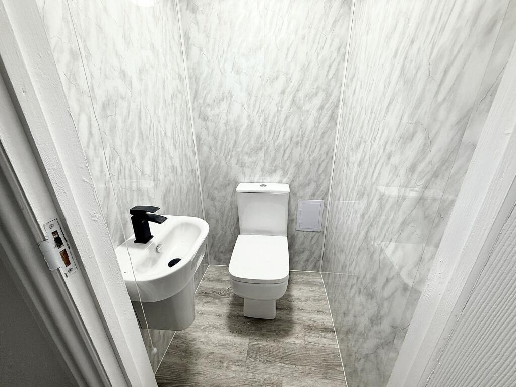
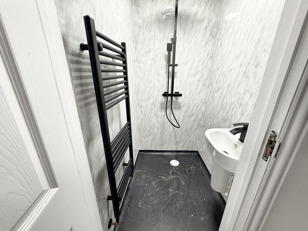
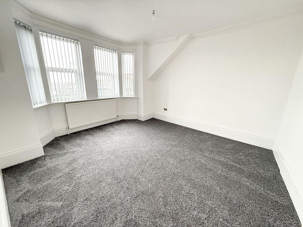
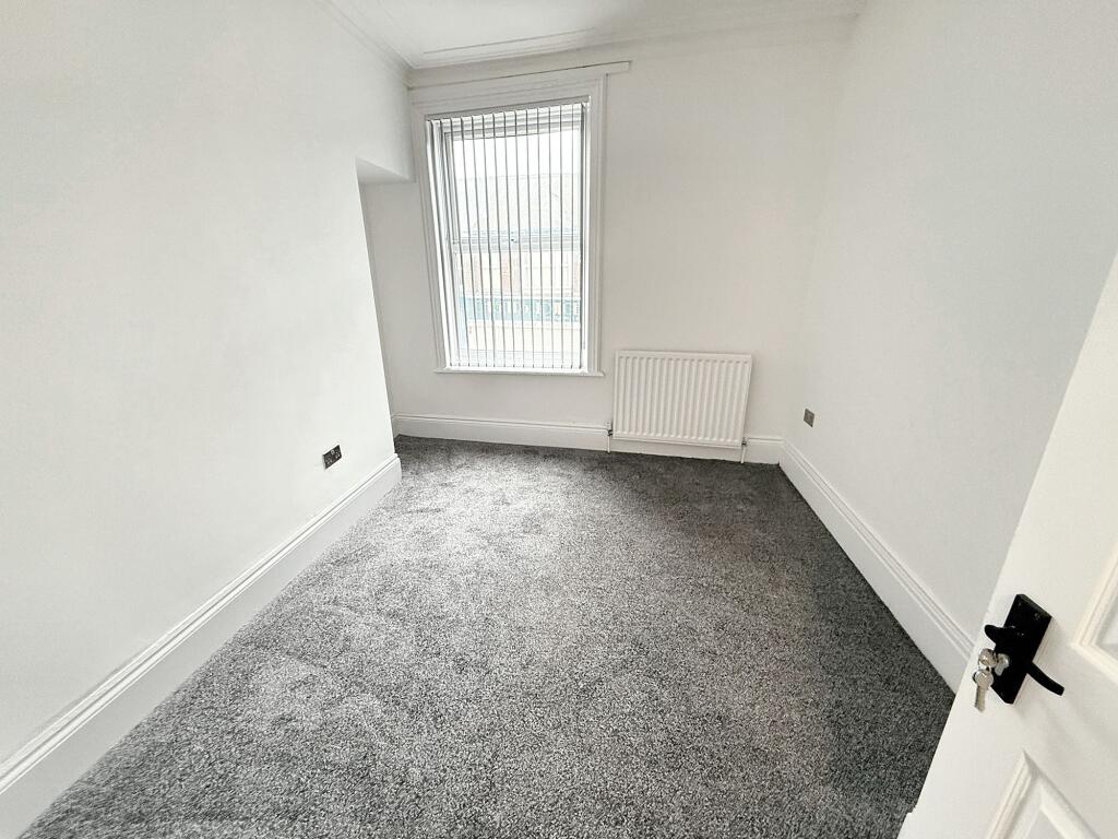
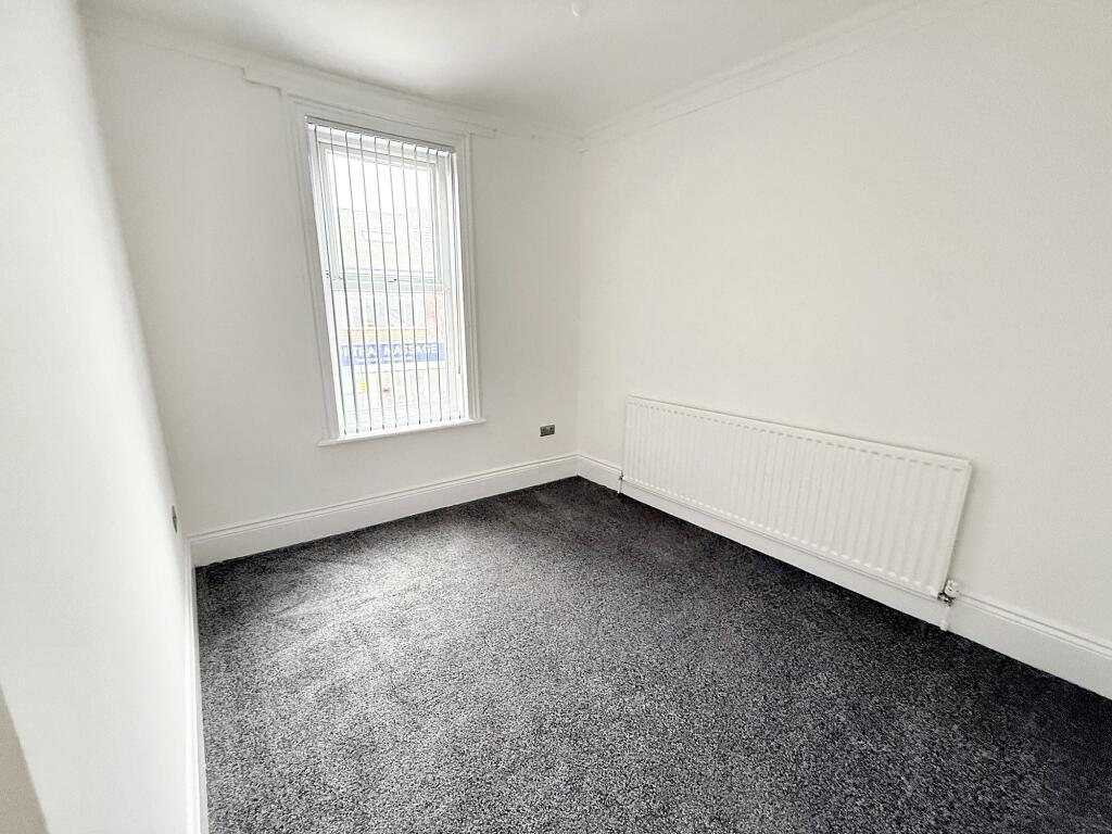
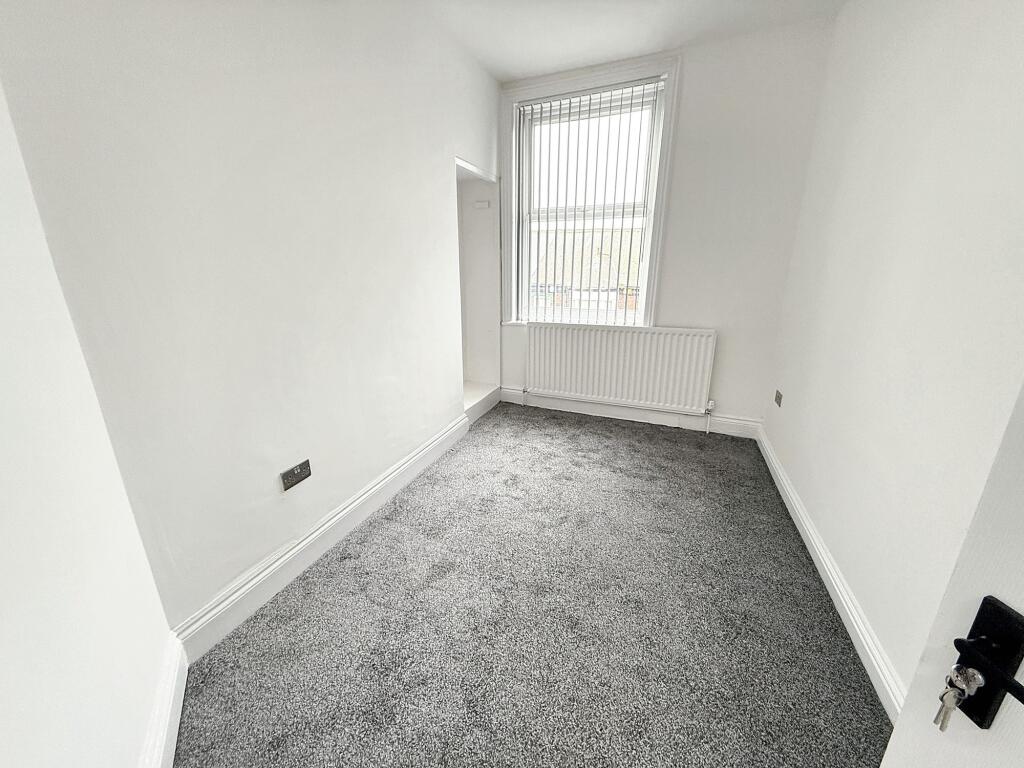
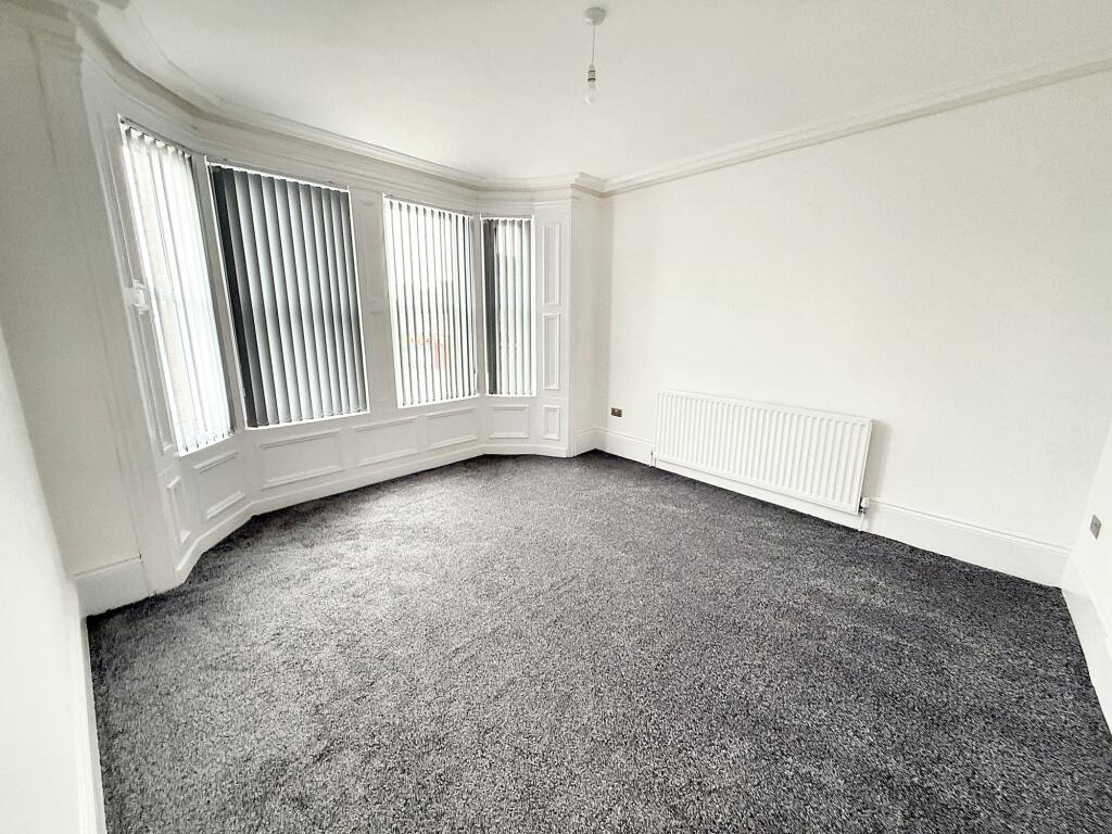
Images


Nearby Streets
| Name | Average Price | Average Sqft | Distance |
|---|---|---|---|
| Sorley Street | £ 170,000 | 0 | 0.00 KM |
| Co-operative Terrace | £ 115,000 | 0 | 0.00 KM |
| Clifford Street | £ 0 | 0 | 0.00 KM |
| Leamington Street | £ 180,000 | 0 | 0.00 KM |
| Holly Court | £ 0 | 0 | 0.00 KM |
Nearby Transport
| Name | NLC | TLC | Distance |
|---|---|---|---|
| Sunderland | 7640 | SUN | 2.35 KM |
| Seaham | 7814 | SEA | 9.40 KM |
Nearby Listings
| Address | Price | Type | Score | Distance |
|---|---|---|---|---|
| Croft Avenue, Sunderland | £ 3,075 | RENT | Unknown | 0.00 KM |
| Croft Avenue, Sunderland | £ 3,075 | RENT | Unknown | 0.00 KM |
| Croft Avenue, Sunderland, SR4 | £ 563 | RENT | Unknown | 0.00 KM |
| Wolseley Terrace, Sunderland, Tyne And Wear | £ 850 | RENT | Unknown | 0.11 KM |
| Chester Mews, Chester Road, Sunderland | £ 495 | RENT | Unknown | 0.16 KM |
Nearby Properties
| Address | Price | Distance |
|---|---|---|
| 7 Broxbourne Terrace | £ 160,000 | 0.10 KM |
| 8 Broxbourne Terrace | £ 150,000 | 0.10 KM |
| 9 Broxbourne Terrace | £ 130,000 | 0.10 KM |
| 5 Broxbourne Terrace | £ 85,000 | 0.10 KM |
| 17 Wolseley Terrace | £ 117,000 | 0.10 KM |