HA
Gresham Road, Derby
By haart
£ 900
haart says ..
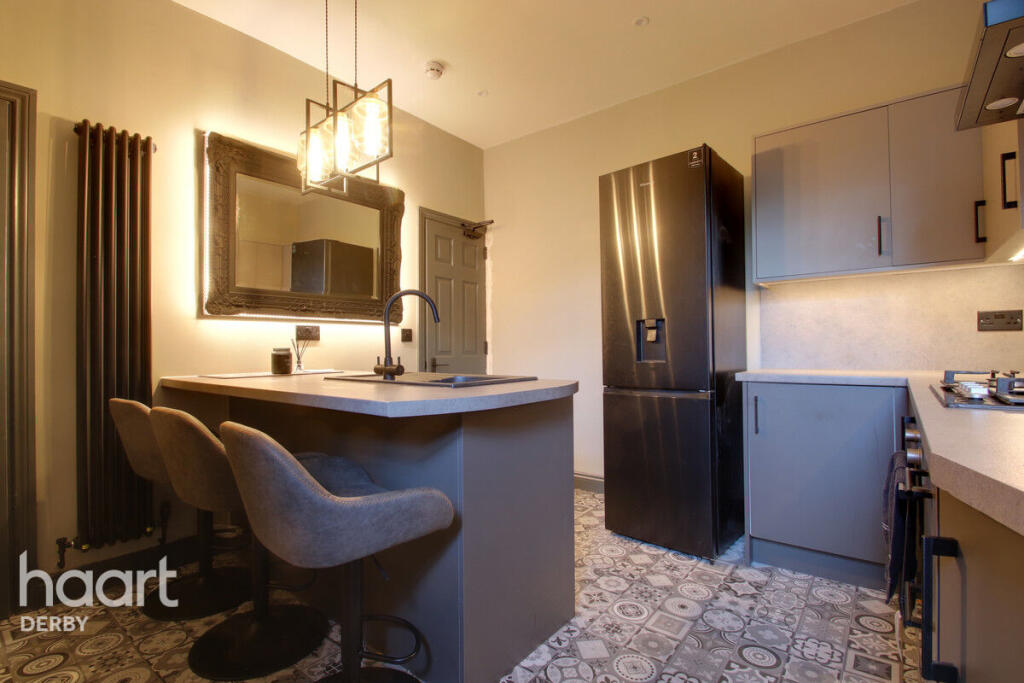
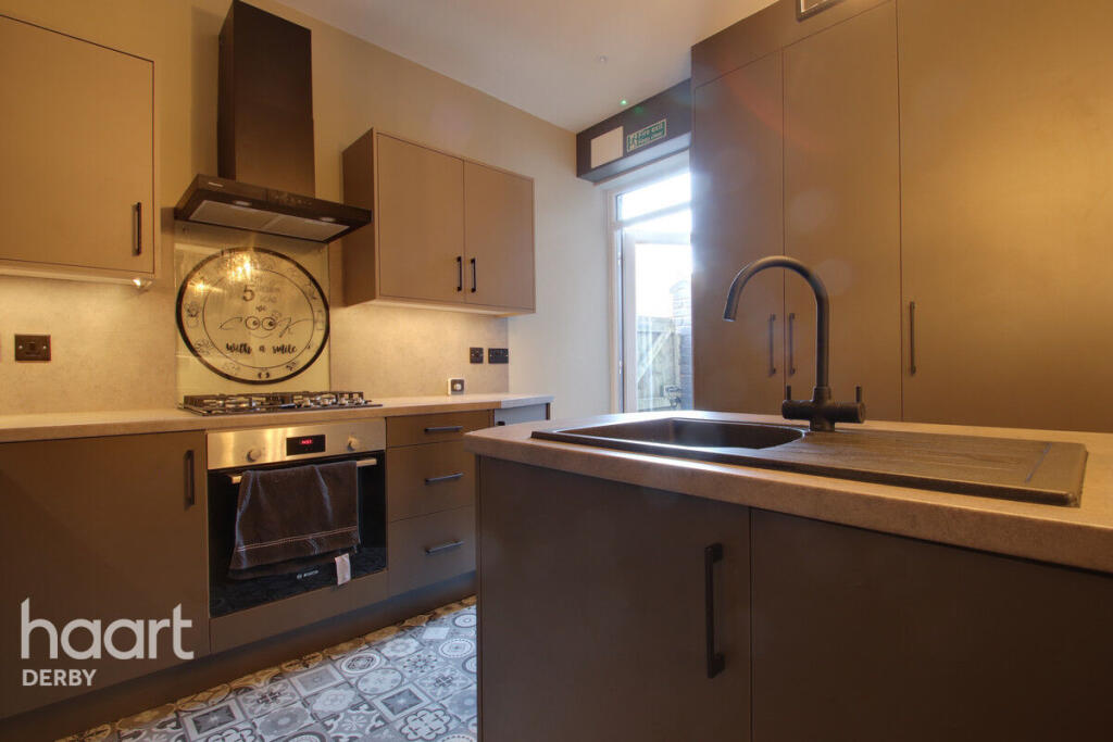
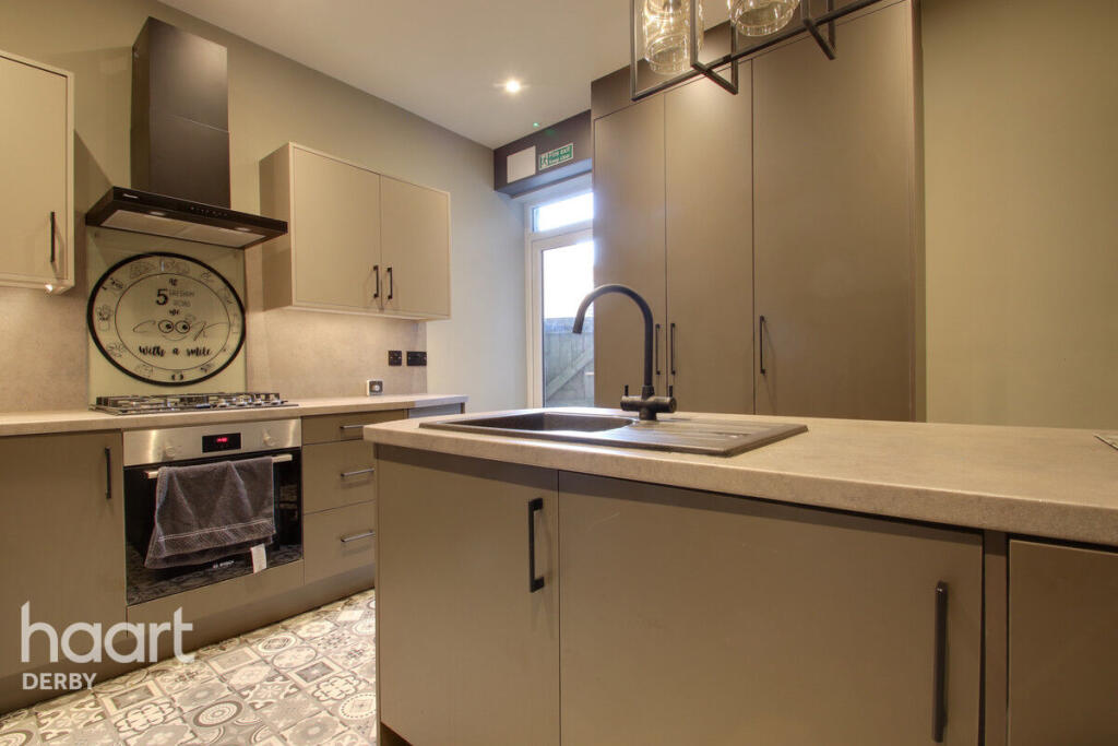
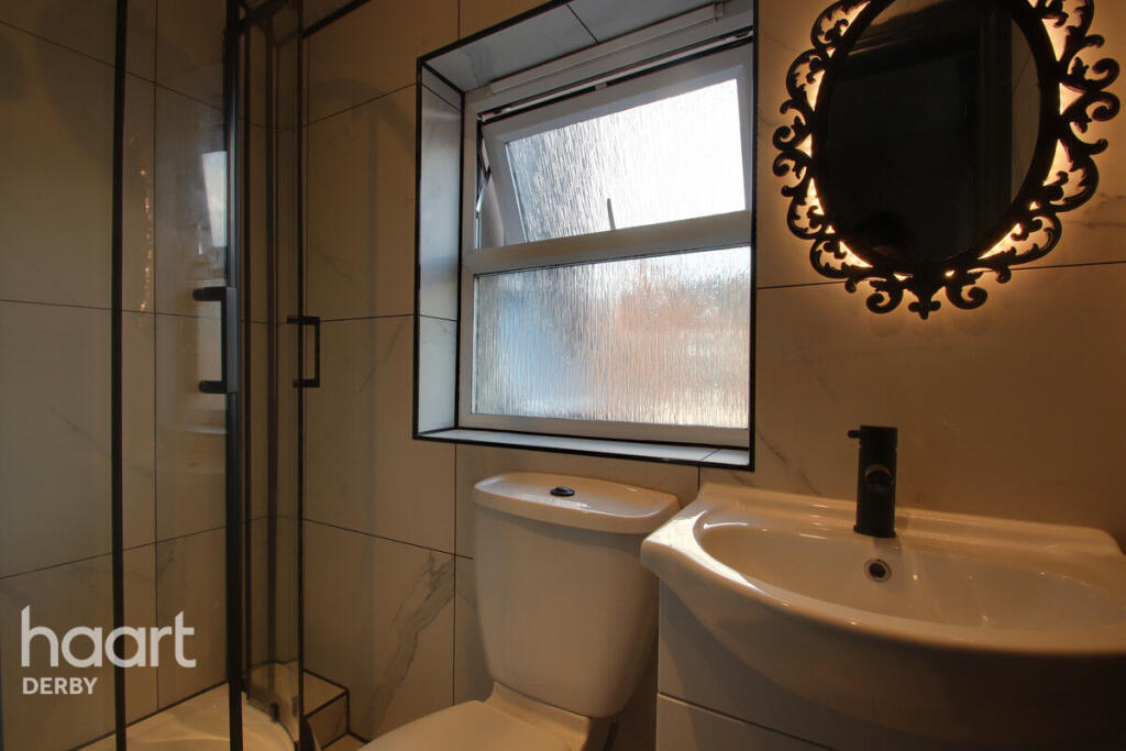
BOUTIQUE HOUSE SHARE
- Bedrooms
- 1
- Bathrooms
- 1
The heatmap indicates the level of crime in the area. The color of the heatmap indicates the crime severity and recency.
Metrics Year-on-Year
- Average area value
- 358,333.00 £Increased by 6.25 %
- Average area rental value
- 1,283.00 £/moDecreased by 3.24 %
- Est rental Yield
- 4.30 %Decreased by 8.90 %
- Crime Rate
- 10.00 %Unchanged by 0.00 %
from 337,265.00 £
from 1,326.00 £/mo
from 4.72 %
from 10.00 %
Agent Activity
haart created the listing.
Nearby Schools
| Name | Type | Ofsted | Distance |
|---|---|---|---|
| Ashwood Spencer Academy | Academy Sponsor Led | 0.39 KM | |
| Zaytouna Primary School | Free Schools | Requires improvement | 1.02 KM |
| Lord Street Nursery School | Local Authority Nursery School | Good | 1.39 KM |
| Utc Derby Pride Park | University Technical College | 1.46 KM | |
| Derby Pride Academy | Free Schools Alternative Provision | Outstanding | 1.50 KM |
Images


Nearby Streets
| Name | Average Price | Average Sqft | Distance |
|---|---|---|---|
| Finan Road | £ 0 | 0 | 0.00 KM |
| Russell Street | £ 130,000 | 0 | 0.00 KM |
| Davies Close | £ 0 | 0 | 0.00 KM |
| Tower Street | £ 135,000 | 0 | 0.00 KM |
| Arkwright Street | £ 0 | 0 | 0.00 KM |
Nearby Transport
| Name | NLC | TLC | Distance |
|---|---|---|---|
| Peartree | 1687 | PEA | 1.57 KM |
| Derby | 1823 | DBY | 1.82 KM |
| Spondon | 1699 | SPO | 5.50 KM |
Nearby Listings
| Address | Price | Type | Score | Distance |
|---|---|---|---|---|
| Gresham Road, Derby | £ 900 | RENT | Unknown | 0.00 KM |
| Gresham Road, Derby | £ 650 | RENT | Unknown | 0.04 KM |
| Gresham Road, Allenton | £ 875 | RENT | Unknown | 0.04 KM |
| Gresham Road, Derby | £ 680 | RENT | Unknown | 0.04 KM |
| Gresham Road, Alvaston | £ 850 | RENT | Unknown | 0.04 KM |
Nearby Properties
| Address | Price | Distance |
|---|---|---|
| 11 Gresham Road | £ 72,000 | 0.04 KM |
| 13 Gresham Road | £ 88,000 | 0.04 KM |
| 4 Gresham Road | £ 19,000 | 0.04 KM |
| 7 Gresham Road | £ 67,500 | 0.04 KM |
| 2 Gresham Road | £ 74,000 | 0.04 KM |