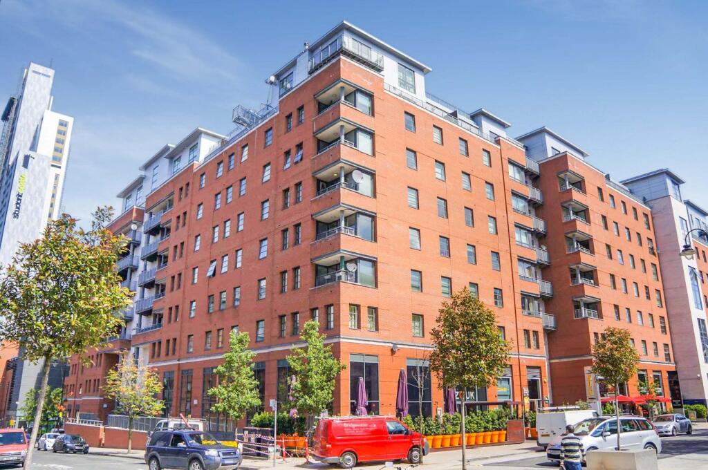

The Quadrangle, 1 Lower Ormond Street, Southern Gateway, Manchester, M1
By Thornley Groves
£ 220,000
Reviews
2 out of 5 stars
Thornley Groves says ..
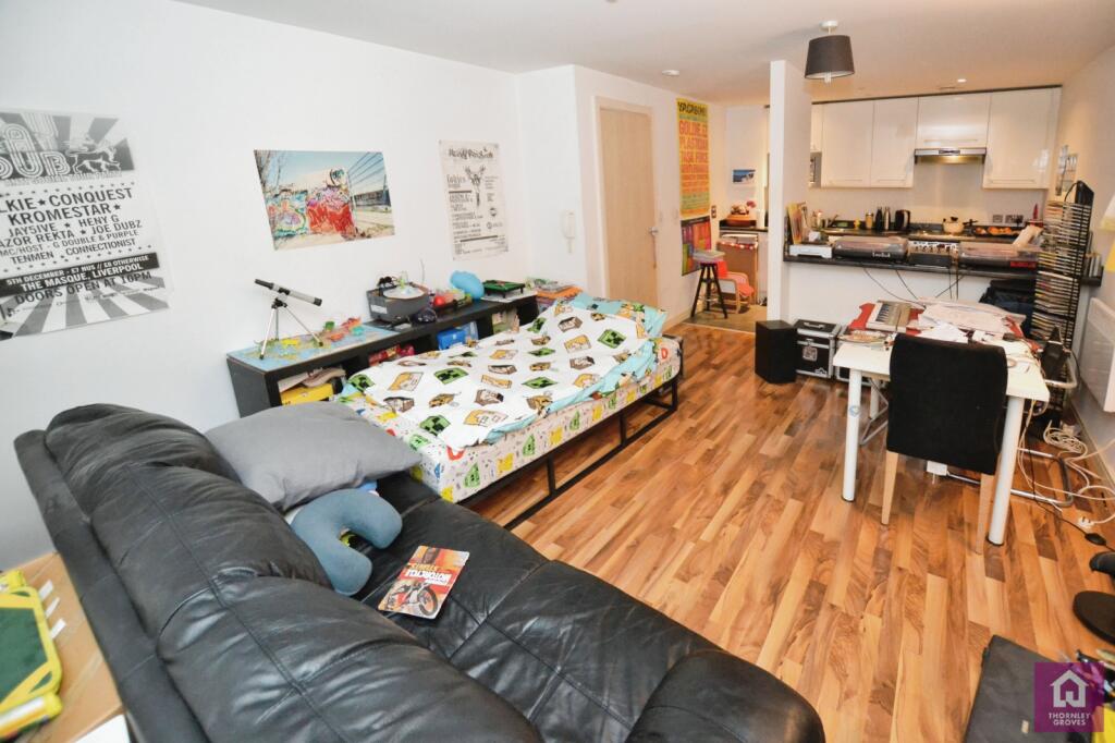
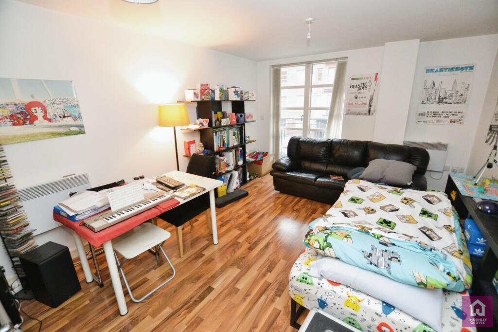
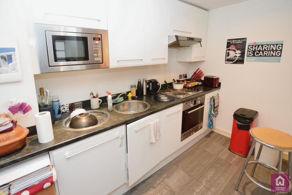
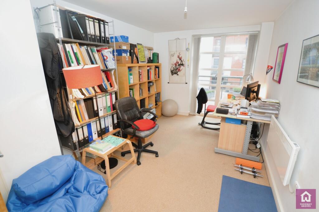
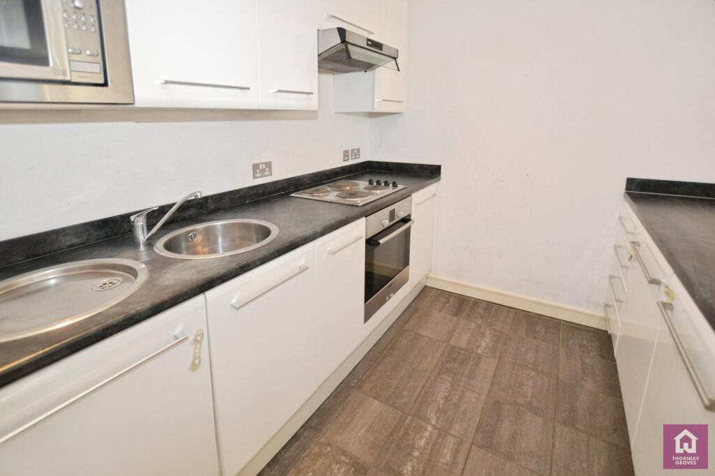
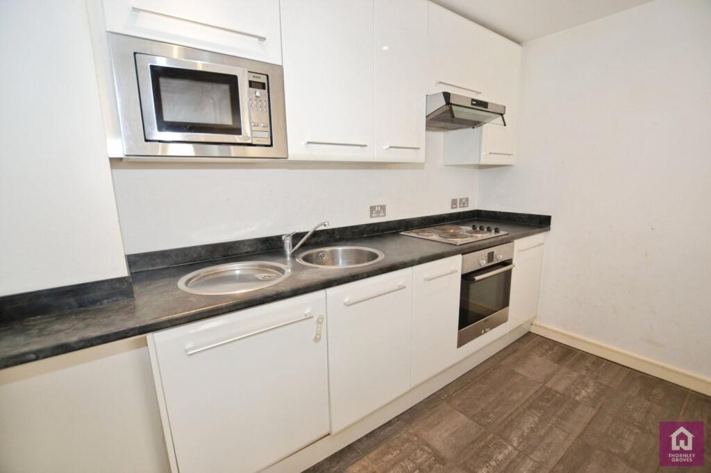
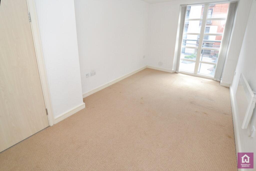
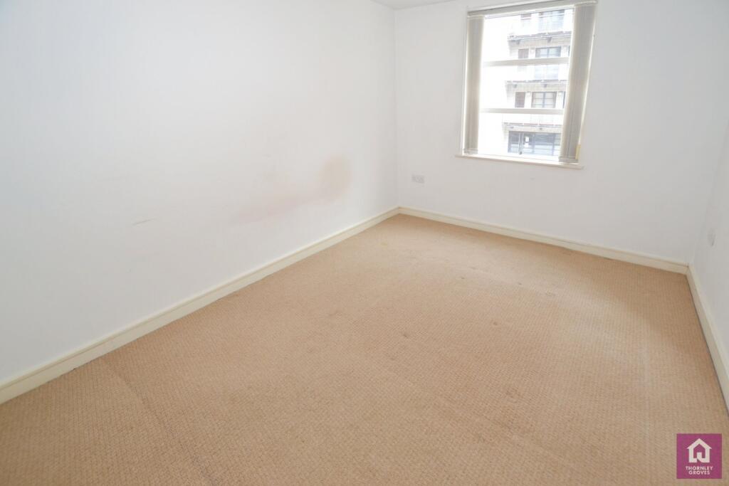
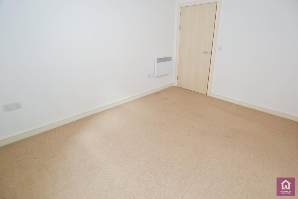
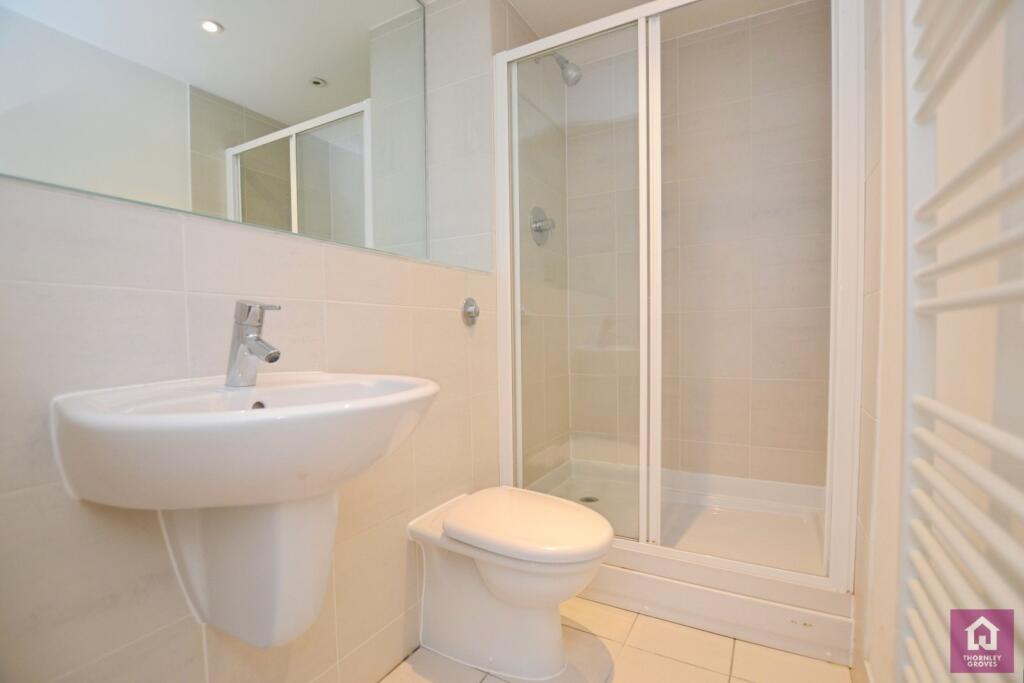
A perennial favourite among the popular developments in Manchester City Centre with a fantastic location close to Oxford Road Station and Manchester University. This apartment is located on the fourth floor apartment with an open plan living/dining area, integrated kitchen, master bed...
Property Oracle says ..
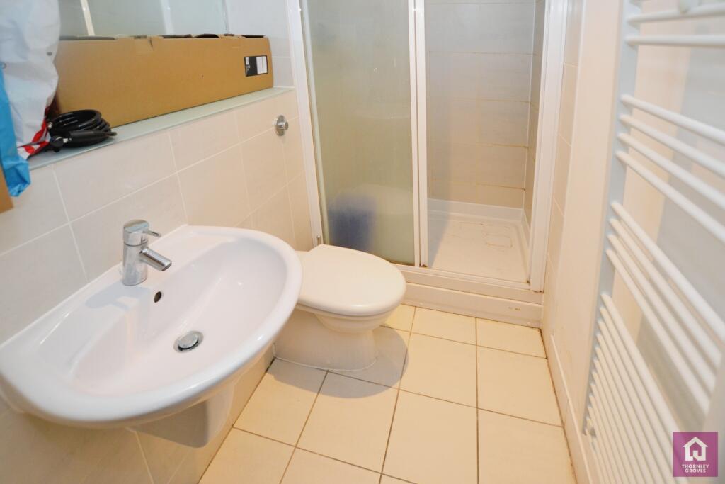
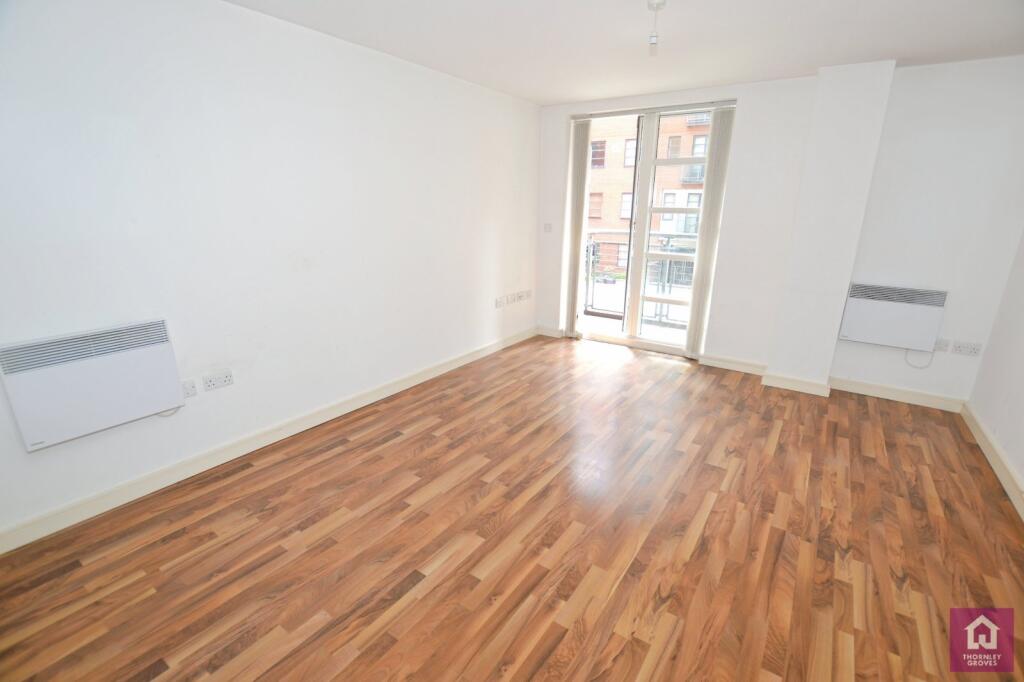
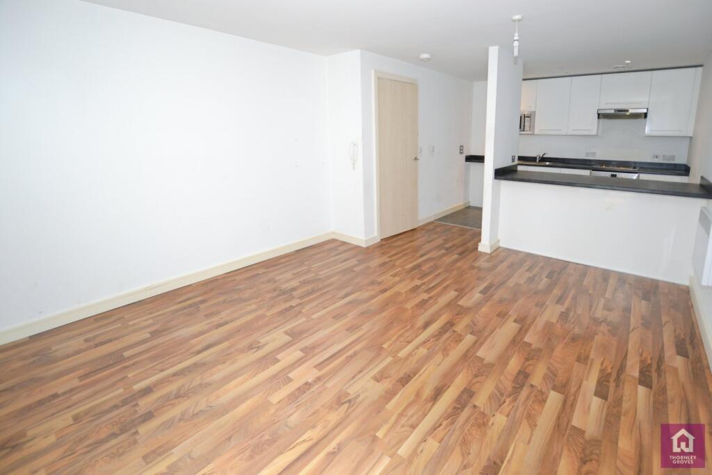
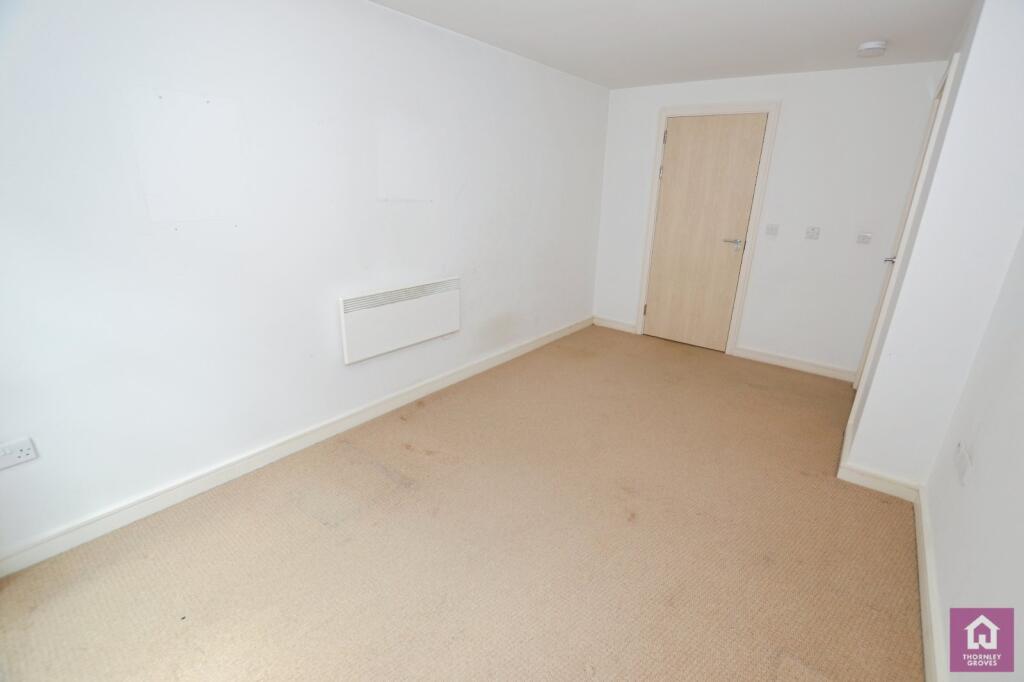
This two-bedroom, two-bathroom apartment is situated in The Quadrangle, 1 Lower Ormond Street, Manchester, within the Hulme area. Its central location offers easy access to Manchester Oxford Road train station and Manchester Metropolitan University, making it a potentially appealing option for students or commuters. The photos suggest the property needs some minor cosmetic improvements. While the interior needs a thorough cleaning and some stylistic updates, no significant structural damage is apparent. The overall impression is an adequate but not exceptional apartment that could be improved with some upgrades. The lack of plot size (0.00 sqft) is to be expected for a city centre apartment. More information on comparable properties, especially regarding their square footage, would enable a more precise valuation. Currently, based on limited available data, the listed price (£220,000) is considered to be within a fair range for this area, considering the location and the condition of the property.
Therefore, we give this property 5 / 10. *Disclaimer: This is our option and does constitute a recommendation or financial advice. Do your own research. *
- Price
- 7
- Condition
- 5
- Location
- 7
- Land
- 1
- Bedrooms
- 2
- Bathrooms
- 2
- Sqft (est)
- 785.77
The heatmap indicates the level of crime in the area. The color of the heatmap indicates the crime severity and recency.
Metrics Year-on-Year
- Average area value
- 268,192.00 £Increased by 9.79 %
- Est sale value
- 440,816.97 £Increased by 99.64 %
- Average area rental value
- 1,437.00 £/moDecreased by 10.24 %
- Est letting value
- 2,357.31 £/moIncreased by 200.00 %
- Est rental Yield
- 6.43 %Decreased by 18.19 %
- Crime Rate
- 1.00 %Unchanged by 0.00 %
Agent Activity
Thornley Groves created the listing.
Nearby Schools
| Name | Type | Ofsted | Distance |
|---|---|---|---|
| The Manchester Metropolitan University | Higher Education Institutions | Outstanding | 0.26 KM |
| St Philip'S Church Of England Primary School | Voluntary Aided School | Good | 0.55 KM |
| Royal Northern College Of Music | Higher Education Institutions | 0.63 KM | |
| Martenscroft Nursery School & Children'S Centre | Local Authority Nursery School | Outstanding | 0.66 KM |
| Martenscroft Nursery School And Sure Start Children'S Centre | Children's Centre | 0.66 KM |
Images


Nearby Streets
| Name | Average Price | Average Sqft | Distance |
|---|---|---|---|
| Medlock Street Junction | £ 195,000 | 0 | 0.00 KM |
| Frank Street | £ 0 | 0 | 0.00 KM |
| Anvil Street | £ 239,995 | 0 | 0.00 KM |
| Wakefield Street | £ 0 | 0 | 0.00 KM |
| Tug Alley | £ 0 | 0 | 0.00 KM |
Nearby Transport
| Name | NLC | TLC | Distance |
|---|---|---|---|
| Manchester Oxford Road | 2966 | MCO | 0.23 KM |
| Deansgate | 2963 | DGT | 1.09 KM |
| Manchester Piccadilly | 2968 | MAN | 1.30 KM |
| Manchester Victoria | 2970 | MCV | 1.72 KM |
| Salford Central | 2798 | SFD | 1.93 KM |
Nearby Listings
| Address | Price | Type | Score | Distance |
|---|---|---|---|---|
| The Quadrangle, 1 Lower Ormond Street, Southern Gateway, Manchester, M1 | £ 220,000 | BUY | 5 / 10 | 0.00 KM |
| Manchester, Greater Manchester, M1 | £ 284,495 | BUY | 5 / 10 | 0.02 KM |
| The Quadrangle, Southern Gateway, Manchester, M1 | £ 210,000 | BUY | 6 / 10 | 0.03 KM |
| The Quadrangle, 1 Lower Ormond Street, Manchester, Greater Manchester, M1 5QF | £ 180,000 | BUY | 6 / 10 | 0.05 KM |
| The Quadrangle, 1 Lower Ormond St | £ 175,000 | BUY | 6 / 10 | 0.06 KM |
Nearby Properties
| Address | Price | Distance |
|---|---|---|
| 11 Conmere Square | £ 119,950 | 0.27 KM |
| 5 Conmere Square | £ 98,500 | 0.27 KM |
| 15 Conmere Square | £ 97,250 | 0.27 KM |
| 13 Conmere Square | £ 145,000 | 0.27 KM |
| 17 Valerie Walk | £ 126,000 | 0.34 KM |