
GO
Bournemouth
By Goadsby
£ 1,350
Goadsby says ..
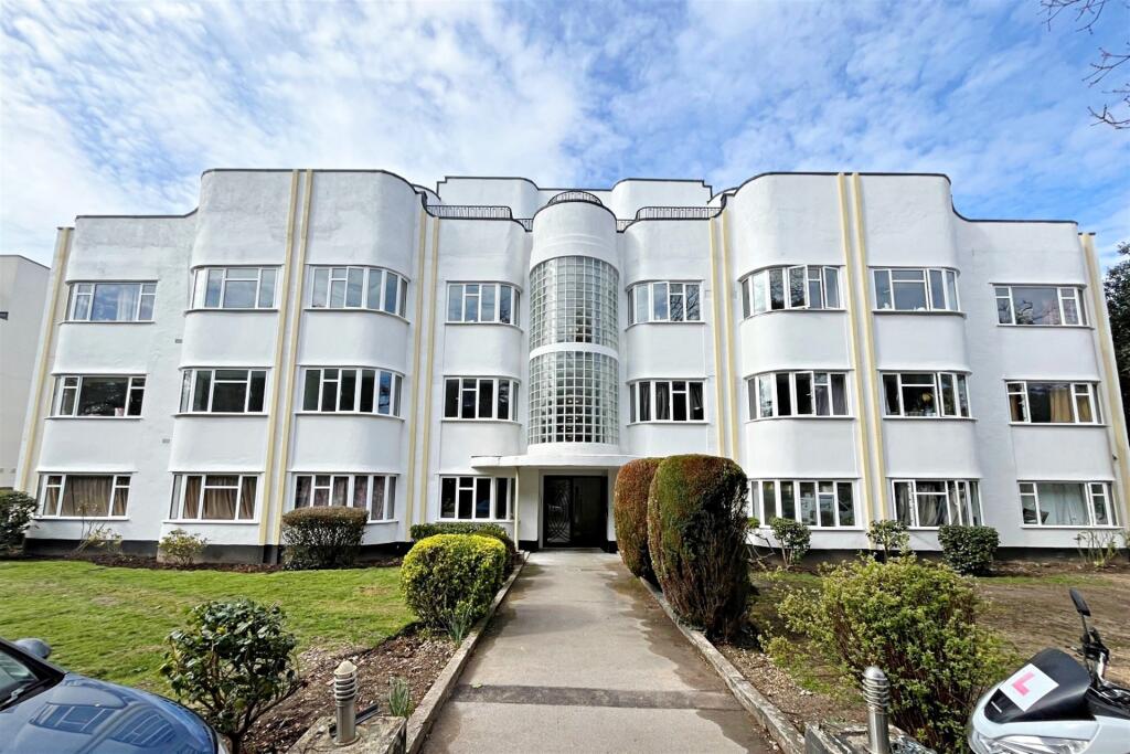
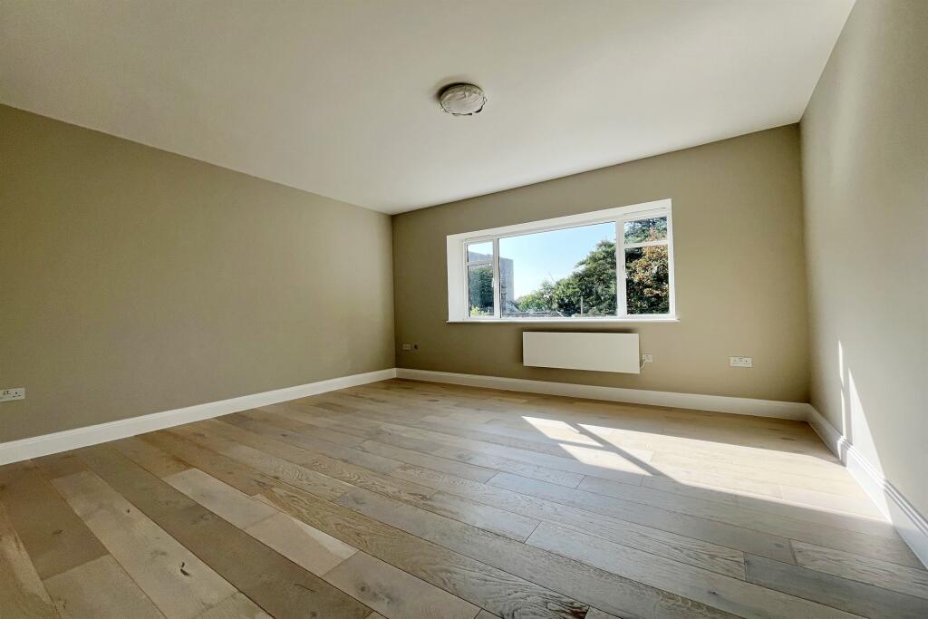
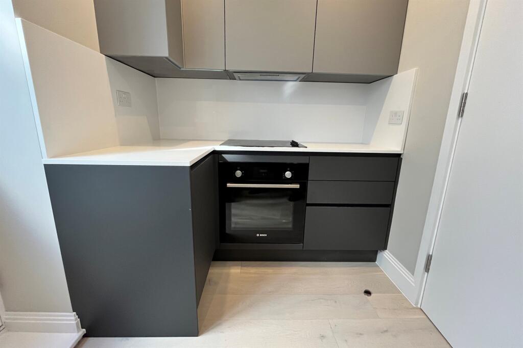
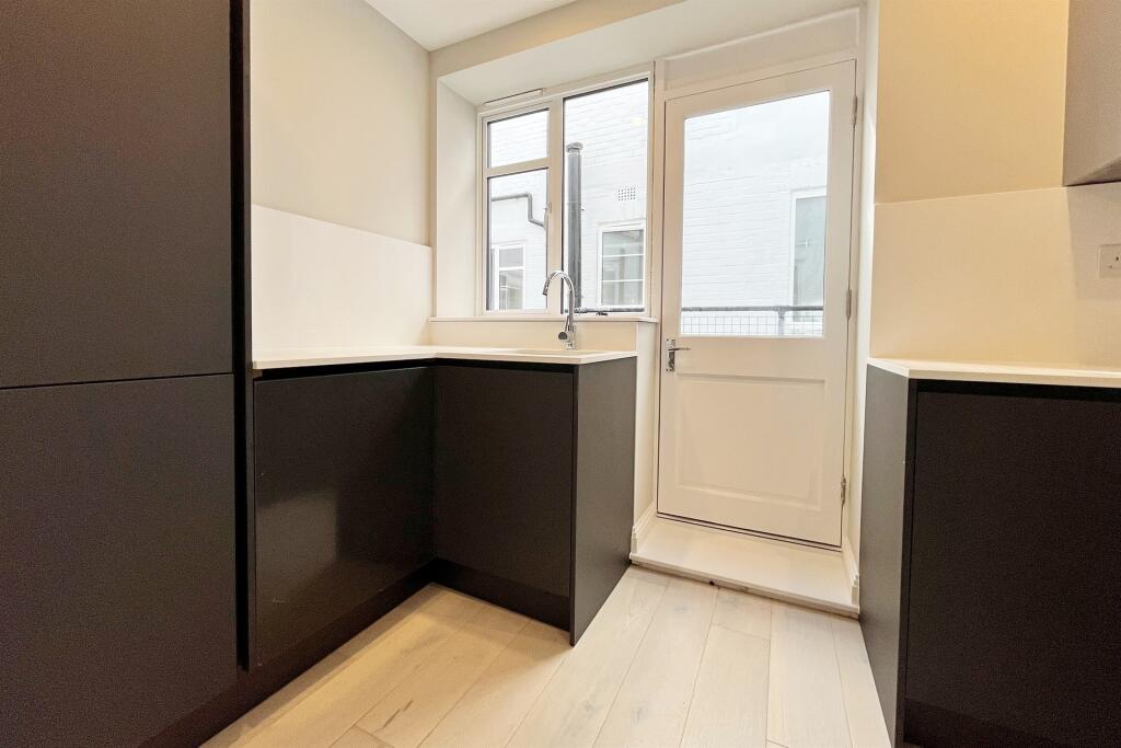
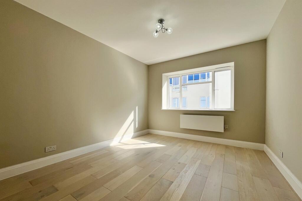
NEWLY RENOVATED THREE BEDROOM FLAT - Offered the the market unfurnished with white goods included.
- Bedrooms
- 3
- Bathrooms
- 1
The heatmap indicates the level of crime in the area. The color of the heatmap indicates the crime severity and recency.
Metrics Year-on-Year
- Average area value
- 264,167.00 £Decreased by 12.20 %
- Average area rental value
- 1,097.00 £/moDecreased by 17.58 %
- Est rental Yield
- 4.98 %Decreased by 6.21 %
- Crime Rate
- 6.00 %Unchanged by 0.00 %
from 300,857.00 £
from 1,331.00 £/mo
from 5.31 %
from 6.00 %
Agent Activity
Goadsby created the listing.
Nearby Schools
| Name | Type | Ofsted | Distance |
|---|---|---|---|
| Bethany Church Of England Junior School | Academy Converter | Requires improvement | 0.86 KM |
| St Clement'S And St John'S Church Of England Infant School | Academy Converter | Good | 1.02 KM |
| Malmesbury Park Primary School | Academy Converter | Good | 1.04 KM |
| Livingstone Academy Bournemouth | Free Schools | 1.33 KM | |
| Cambian Wing College | Special Post 16 Institution | Good | 1.48 KM |
Images


Nearby Streets
| Name | Average Price | Average Sqft | Distance |
|---|---|---|---|
| Carlton Walk | £ 0 | 0 | 0.00 KM |
| Undercliff Drive | £ 0 | 0 | 0.00 KM |
| Holdenhurst Road | £ 0 | 0 | 0.00 KM |
| St Paul's Place | £ 0 | 0 | 0.00 KM |
| St Pauls Road | £ 0 | 0 | 0.00 KM |
Nearby Transport
| Name | NLC | TLC | Distance |
|---|---|---|---|
| Bournemouth | 5876 | BMH | 0.99 KM |
| Pokesdown | 5885 | POK | 3.54 KM |
| Branksome | 5875 | BSM | 7.03 KM |
| Christchurch | 5879 | CHR | 8.09 KM |
Nearby Listings
| Address | Price | Type | Score | Distance |
|---|---|---|---|---|
| Bournemouth | £ 1,668 | RENT | Unknown | 0.00 KM |
| Bournemouth | £ 1,785 | RENT | Unknown | 0.00 KM |
| Bournemouth | £ 1,350 | RENT | Unknown | 0.00 KM |
| Bournemouth | £ 1,668 | RENT | Unknown | 0.00 KM |
| Bournemouth | £ 1,785 | RENT | Unknown | 0.00 KM |
Nearby Properties
| Address | Price | Distance |
|---|---|---|
| 1 Derby Road | £ 76,500 | 0.18 KM |
| 2 Woodford Road | £ 188,000 | 0.22 KM |
| 1 Woodford Road | £ 585,000 | 0.22 KM |
| 32 - 34 Frances Road | £ 125,000 | 0.23 KM |
| 48 Frances Road | £ 430,000 | 0.23 KM |