
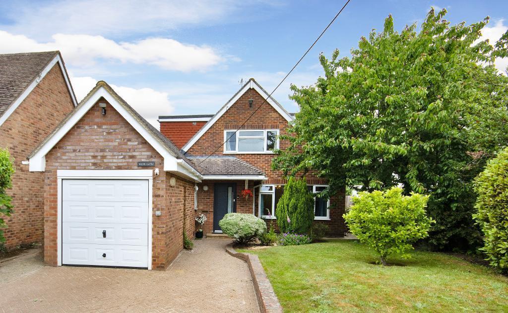
Amber Lane, Chart Sutton, Kent, ME17 3SE
By Harpers and Hurlingham
£ 675,000
Reviews
3 out of 5 stars
Harpers and Hurlingham says ..
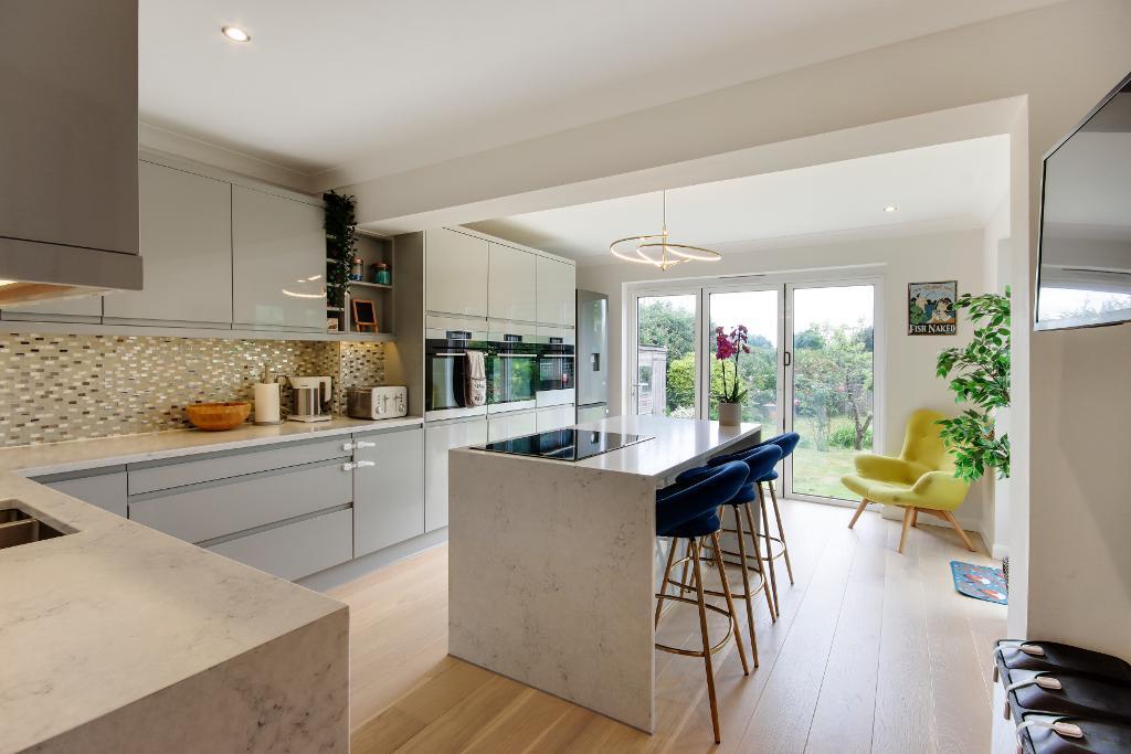
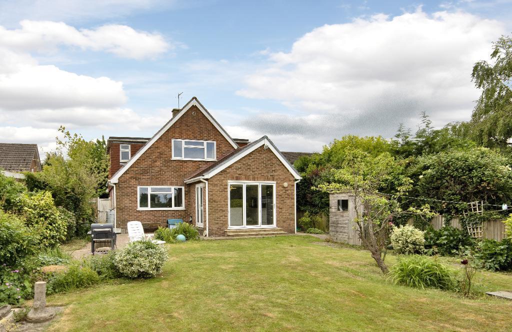
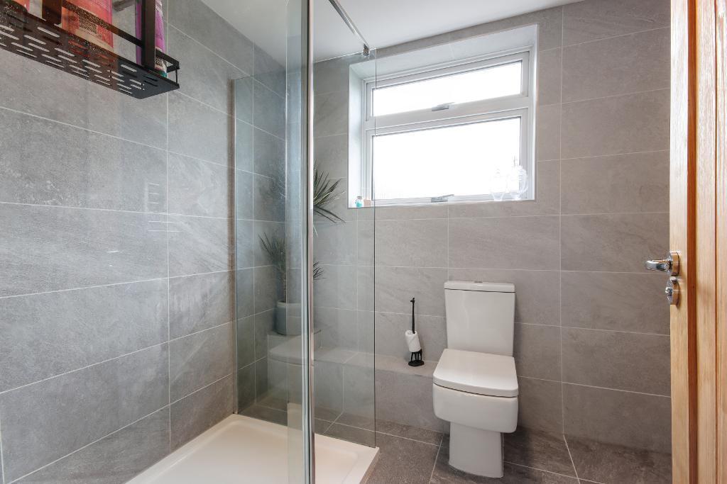
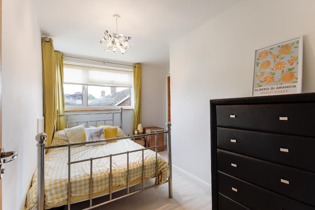
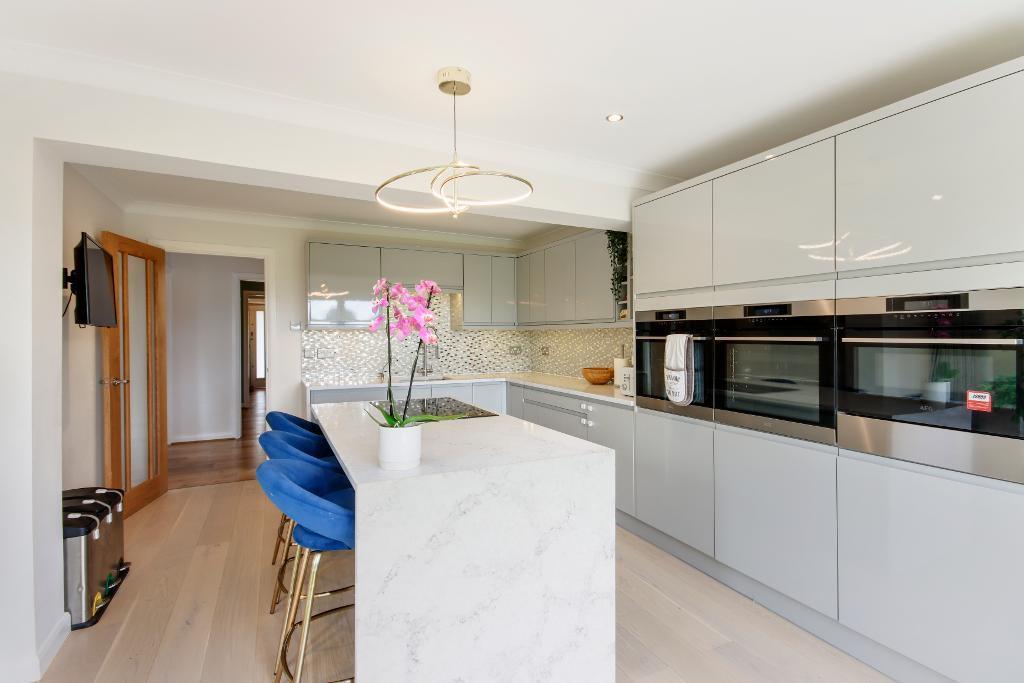
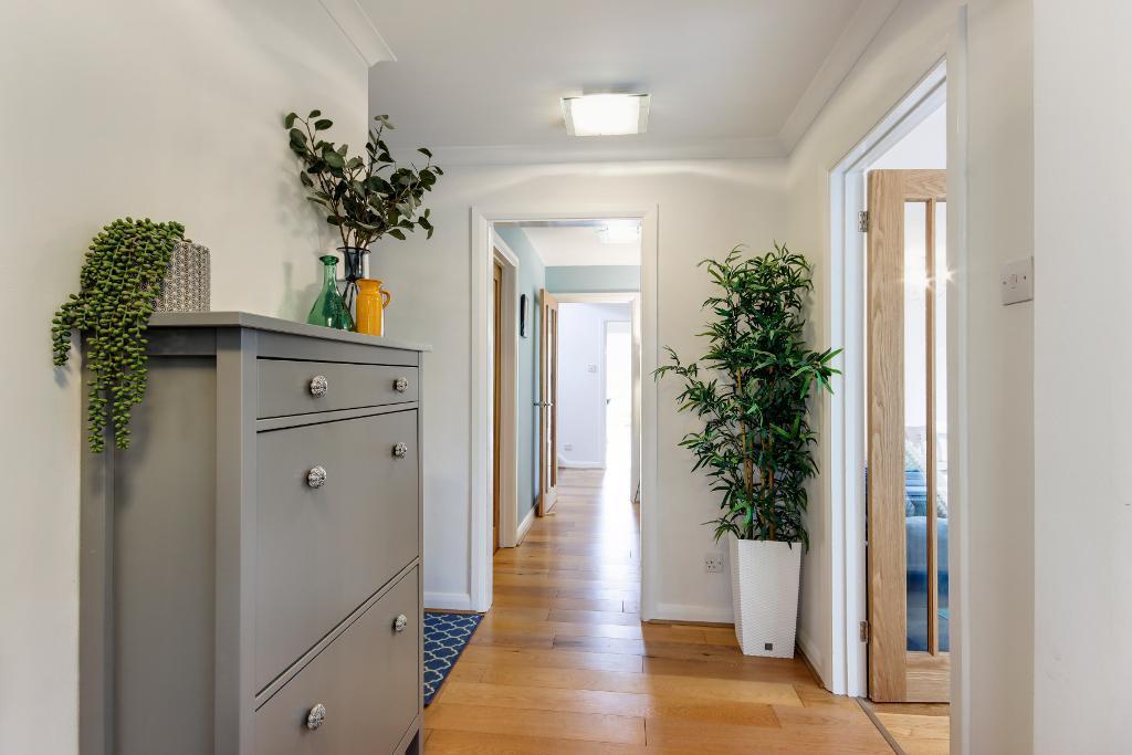
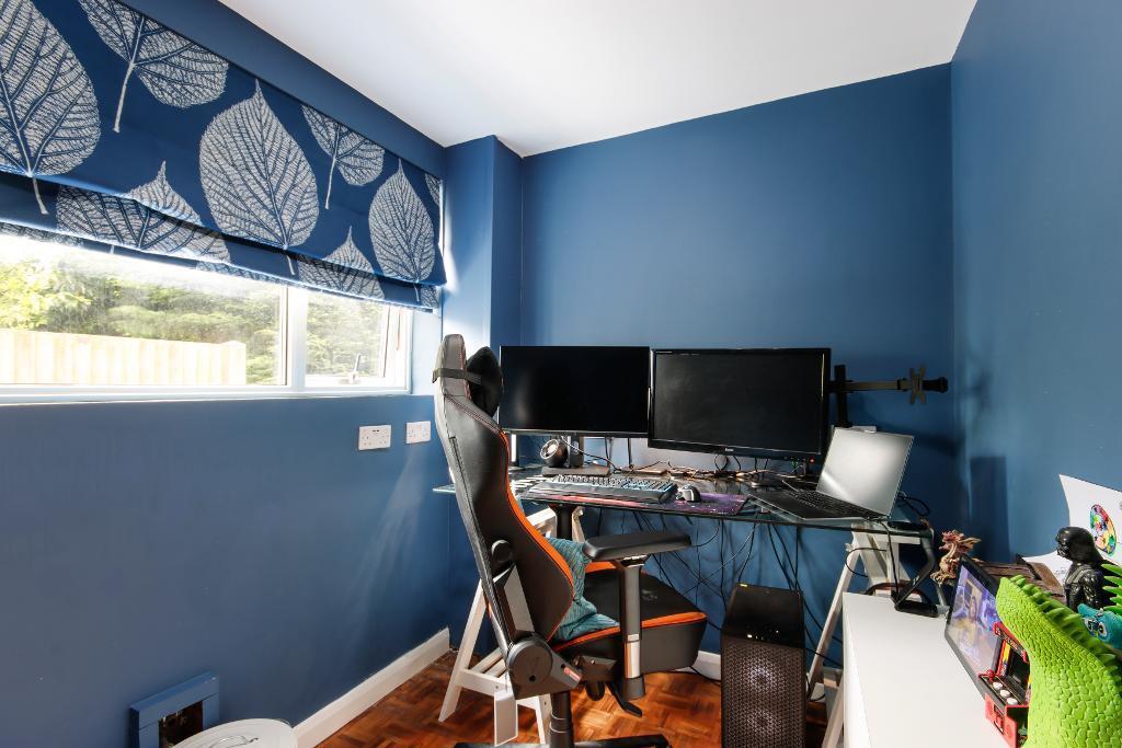
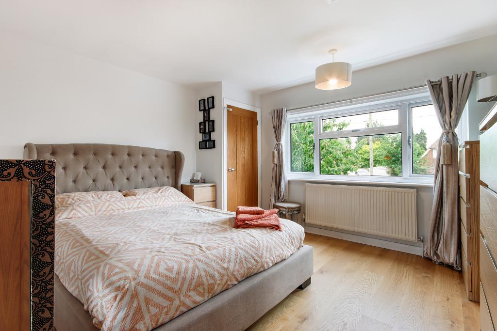
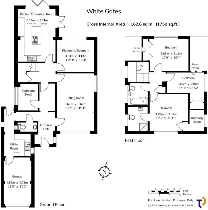
CHART SUTTON - CHAIN FREE Providing well-proportioned light-filled rooms, this versatile, detached family home is believed to date from the late 1970s with later additions. The property ...
Property Oracle says ..
Therefore, we give this property 7 / 10. *Disclaimer: This is our option and does constitute a recommendation or financial advice. Do your own research. *
- Price
- 7
- Condition
- 8
- Location
- 7
- Land
- 7
- Bedrooms
- 4
- Bathrooms
- 2
- Sqft (est)
- 1,075.21
The heatmap indicates the level of crime in the area. The color of the heatmap indicates the crime severity and recency.
Metrics Year-on-Year
- Average area value
- 527,833.00 £Decreased by 25.82 %
- Est sale value
- 738,669.27 £Increased by 59.03 %
- Average area rental value
- 2,500.00 £/moDecreased by 7.78 %
- Est letting value
- 3,225.63 £/moIncreased by 200.00 %
- Est rental Yield
- 5.68 %Increased by 24.29 %
- Crime Rate
- 3.00 %Unchanged by 0.00 %
from 711,525.00 £
from 464,490.72 £
from 2,711.00 £/mo
from 1,075.21 £/mo
from 4.57 %
from 3.00 %
Agent Activity
Harpers and Hurlingham created the listing.
Nearby Schools
| Name | Type | Ofsted | Distance |
|---|---|---|---|
| Langley Park Primary Academy | Academy Sponsor Led | Good | 1.48 KM |
| The Holy Family Catholic Primary School | Academy Sponsor Led | Requires improvement | 2.17 KM |
| Tree Tops Primary Academy | Academy Sponsor Led | Good | 2.49 KM |
| Sutton Valence Primary School | Community School | Good | 2.56 KM |
| Sutton Valence School | Other Independent School | 2.88 KM |
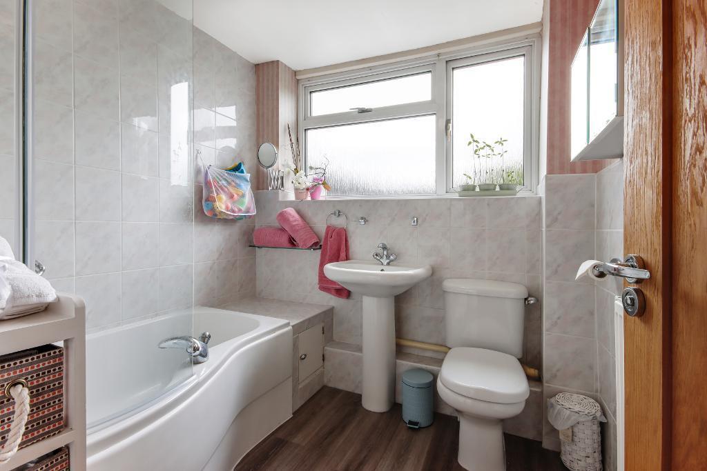
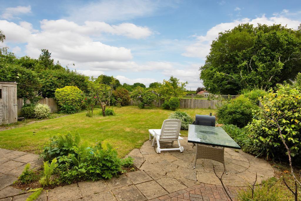
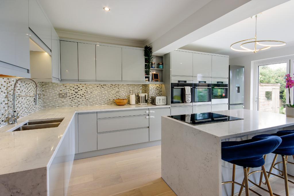
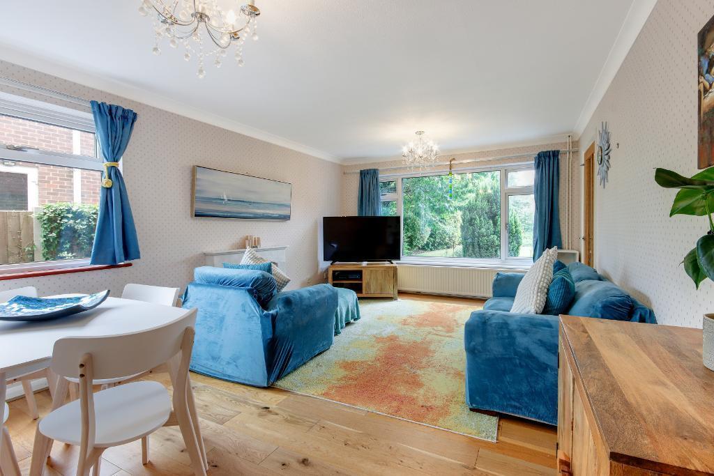
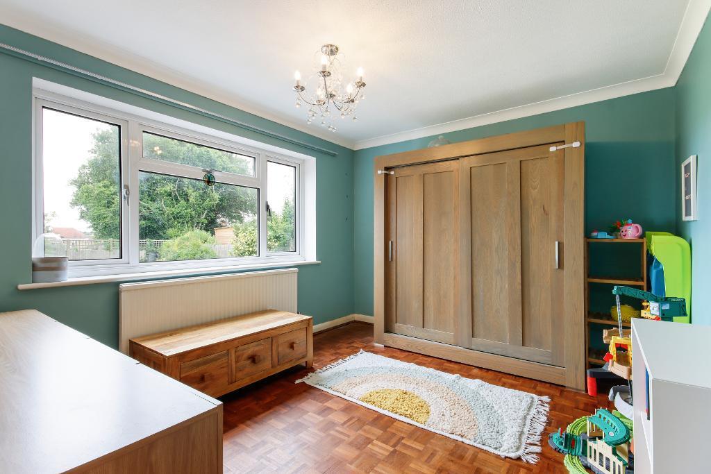
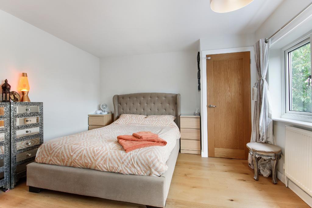
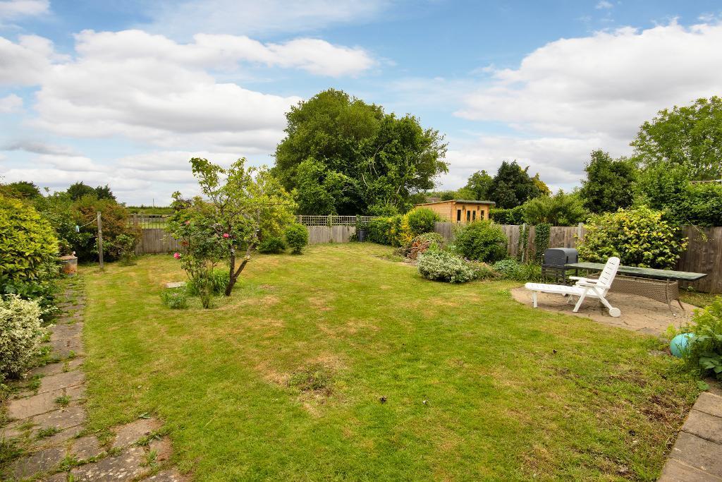
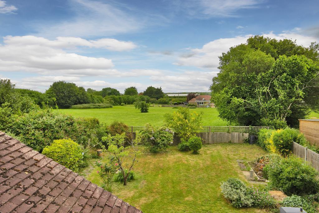
Images
Nearby Streets
| Name | Average Price | Average Sqft | Distance |
|---|---|---|---|
| Plough-Wents Road | £ 0 | 0 | 0.00 KM |
| Cobfield | £ 325,000 | 0 | 0.00 KM |
| KH555A | £ 999,000 | 0 | 0.00 KM |
| Reynolds Avenue | £ 300,000 | 0 | 0.00 KM |
| Saunders Field | £ 417,786 | 0 | 0.00 KM |
Nearby Transport
| Name | NLC | TLC | Distance |
|---|---|---|---|
| Bearsted | 5091 | BSD | 5.89 KM |
| Staplehurst | 5228 | SPU | 6.16 KM |
| Maidstone West | 5222 | MDW | 7.87 KM |
| Hollingbourne | 5141 | HBN | 7.98 KM |
| Maidstone East | 5115 | MDE | 8.03 KM |
Nearby Listings
| Address | Price | Type | Score | Distance |
|---|---|---|---|---|
| Amber Lane, Chart Sutton, Kent, ME17 3SE | £ 675,000 | BUY | 7 / 10 | 0.00 KM |
| Amber Lane, Chart Sutton | £ 550,000 | BUY | 7 / 10 | 0.08 KM |
| Amber Lane, Chart Sutton, Maidstone | £ 525,000 | BUY | 7 / 10 | 0.09 KM |
| Six Bedroom, 5,800 Sq/Ft, Family Residence with Leisure Complex | £ 1,400,000 | BUY | 7 / 10 | 0.24 KM |
| Chart Hill Road, Maidstone, Kent, ME17 | £ 305,000 | BUY | 7 / 10 | 0.26 KM |
Nearby Properties
| Address | Price | Distance |
|---|---|---|
| Ashcroft | £ 450,000 | 0.09 KM |
| Orchard View | £ 410,000 | 0.09 KM |
| Millars | £ 280,000 | 0.10 KM |
| Amber Place | £ 252,500 | 0.10 KM |
| Bramfield | £ 575,000 | 0.10 KM |