BA
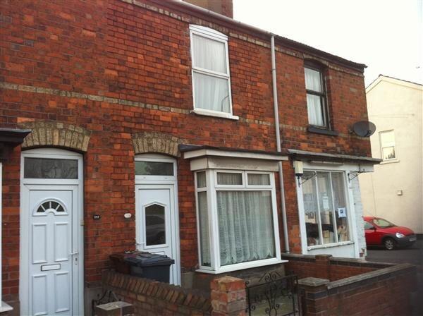
Newark Road, , Lincoln
By Base Lockwood
£ 595
Base Lockwood says ..
Summary to follow...
- Bedrooms
- 2
- Bathrooms
- 0
The heatmap indicates the level of crime in the area. The color of the heatmap indicates the crime severity and recency.
Metrics Year-on-Year
- Average area value
- 265,000.00 £Increased by 25.23 %
- Average area rental value
- 892.00 £/moIncreased by 0.34 %
- Est rental Yield
- 4.04 %Decreased by 19.84 %
- Crime Rate
- 7.00 %Unchanged by 0.00 %
from 211,611.00 £
from 889.00 £/mo
from 5.04 %
from 7.00 %
Agent Activity
Base Lockwood created the listing.
Nearby Schools
| Name | Type | Ofsted | Distance |
|---|---|---|---|
| Lincoln Bracebridge | Children's Centre Linked Site | 0.56 KM | |
| Bracebridge Infant And Nursery School | Academy Converter | Good | 0.67 KM |
| The Priory Academy Lsst | Academy Sponsor Led | Outstanding | 1.18 KM |
| The Meadows Primary School | Community School | Good | 1.18 KM |
| St Peter And St Paul, Catholic Voluntary Academy | Academy Converter | Good | 1.41 KM |
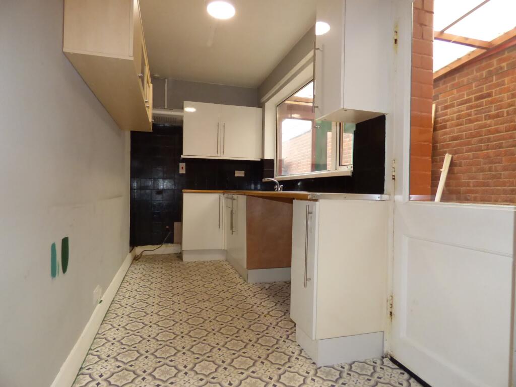
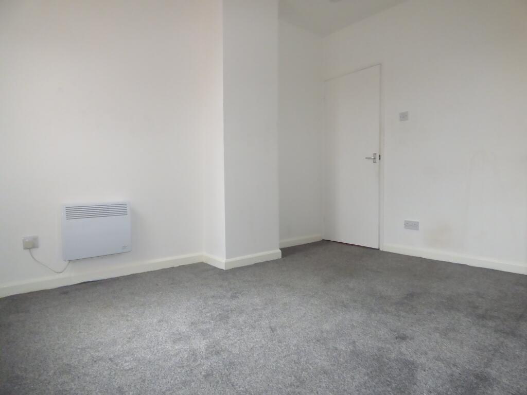
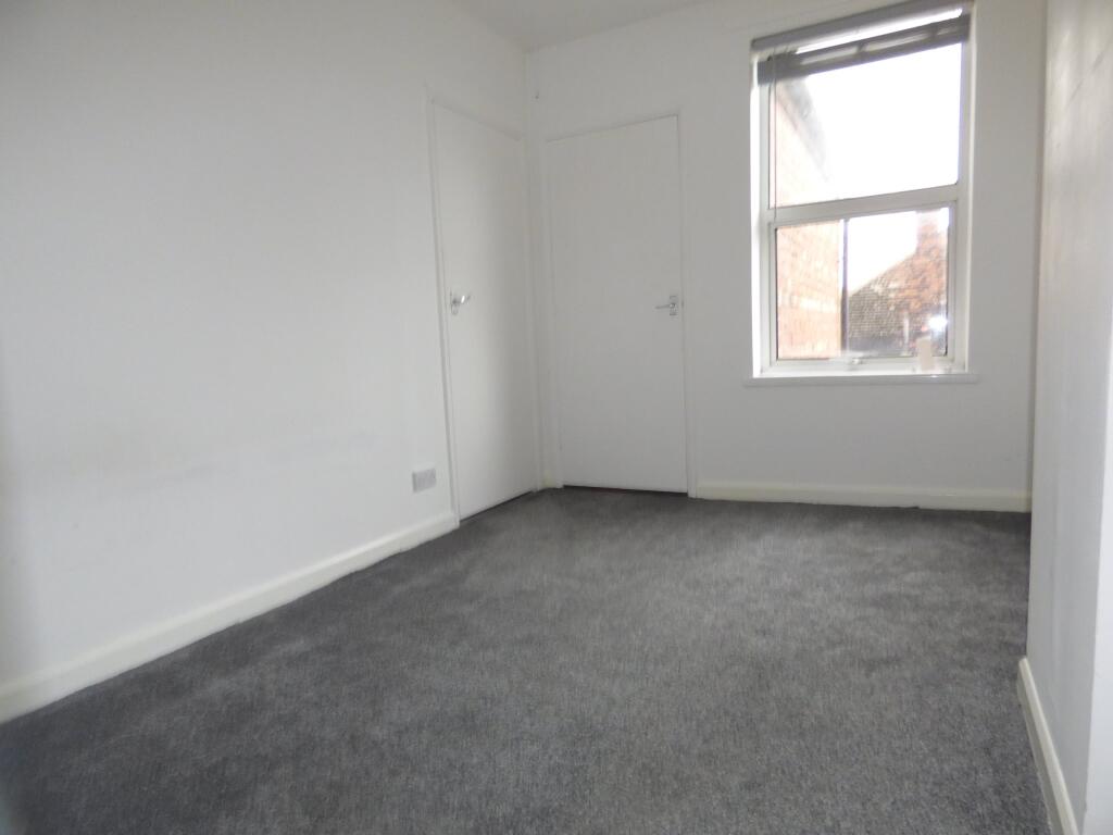
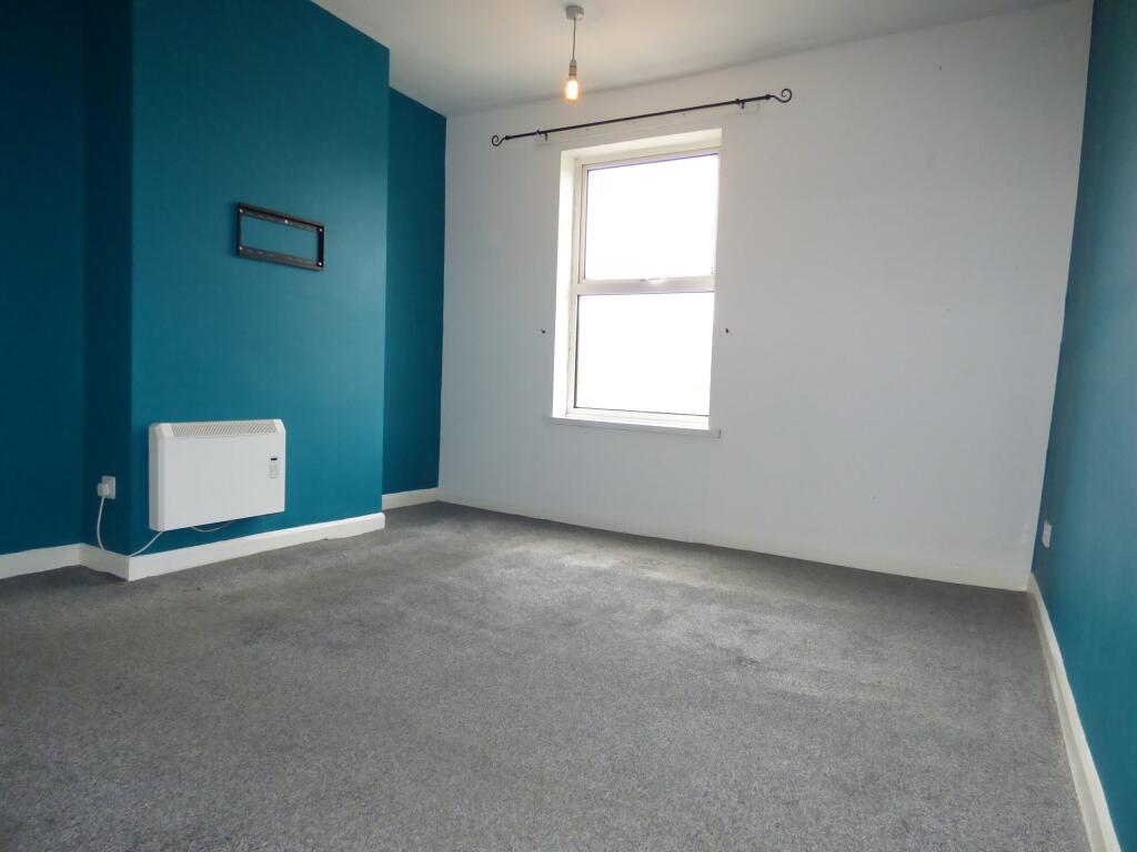
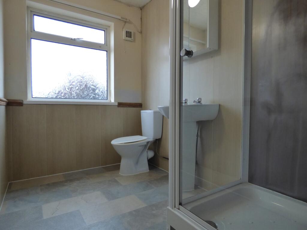
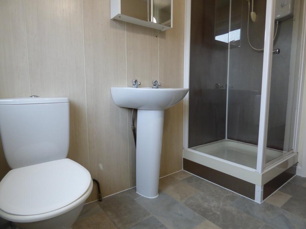
Images


Nearby Streets
| Name | Average Price | Average Sqft | Distance |
|---|---|---|---|
| Witham Close | £ 180,000 | 0 | 0.00 KM |
| Holly Close | £ 0 | 0 | 0.00 KM |
| Francis Street | £ 110,000 | 0 | 0.00 KM |
| Malvern Close | £ 0 | 0 | 0.00 KM |
| Clayton Road | £ 138,000 | 0 | 0.00 KM |
Nearby Transport
| Name | NLC | TLC | Distance |
|---|---|---|---|
| Lincoln | 6340 | LCN | 3.16 KM |
| Hykeham | 6310 | HKM | 5.05 KM |
Nearby Listings
| Address | Price | Type | Score | Distance |
|---|---|---|---|---|
| Newark Road, , Lincoln | £ 775 | RENT | Unknown | 0.00 KM |
| Newark Road, Lincoln, | £ 825 | RENT | Unknown | 0.00 KM |
| Newark Road, Lincoln, Lincolnsire, LN6 8RP | £ 433 | RENT | Unknown | 0.24 KM |
| Newark Road, Lincoln | £ 750 | RENT | Unknown | 0.25 KM |
| Newark Road, Lincoln | £ 750 | RENT | Unknown | 0.25 KM |
Nearby Properties
| Address | Price | Distance |
|---|---|---|
| 258 Newark Road | £ 150,000 | 0.19 KM |
| 413 Newark Road | £ 125,000 | 0.21 KM |
| 409 Newark Road | £ 150,000 | 0.21 KM |
| 407 Newark Road | £ 137,500 | 0.21 KM |
| 29 Brant Road | £ 159,950 | 0.24 KM |