HA
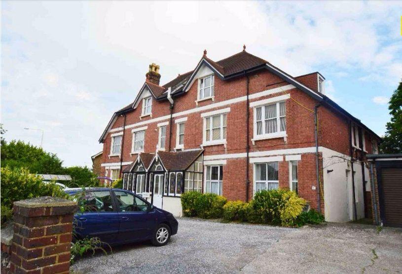
Upper Avenue, Eastbourne
By Hashtag Properties
£ 695
Hashtag Properties says ..
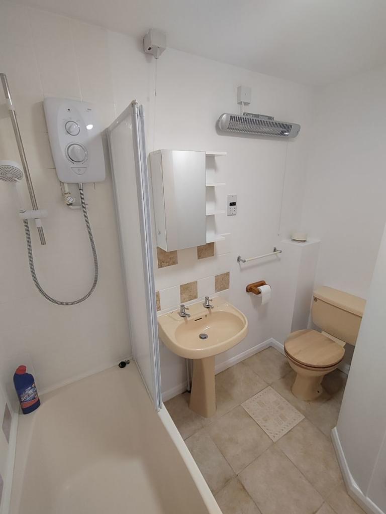
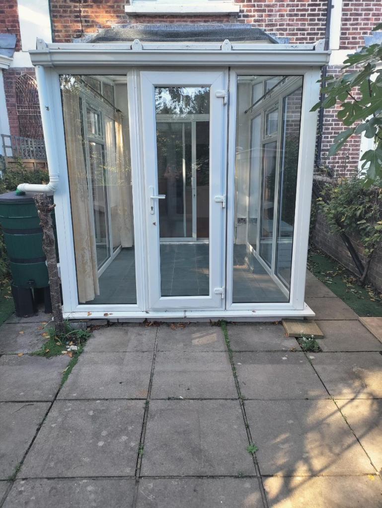
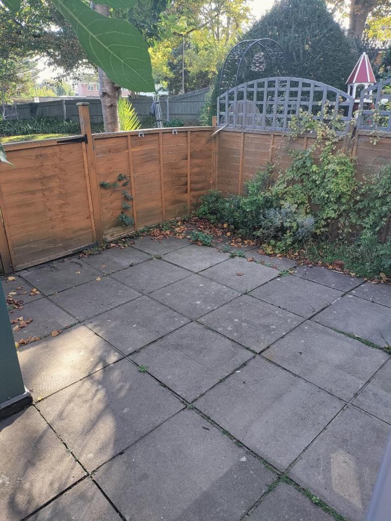
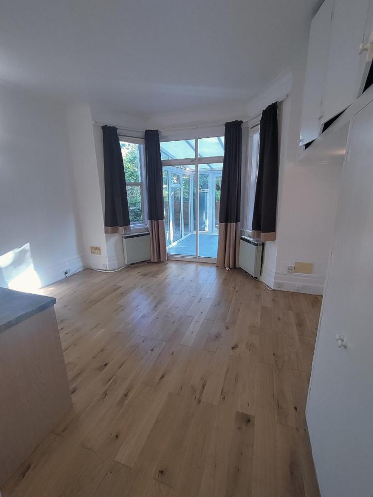
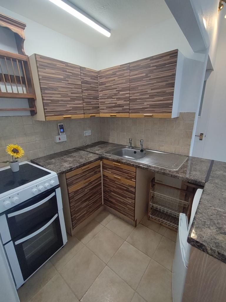
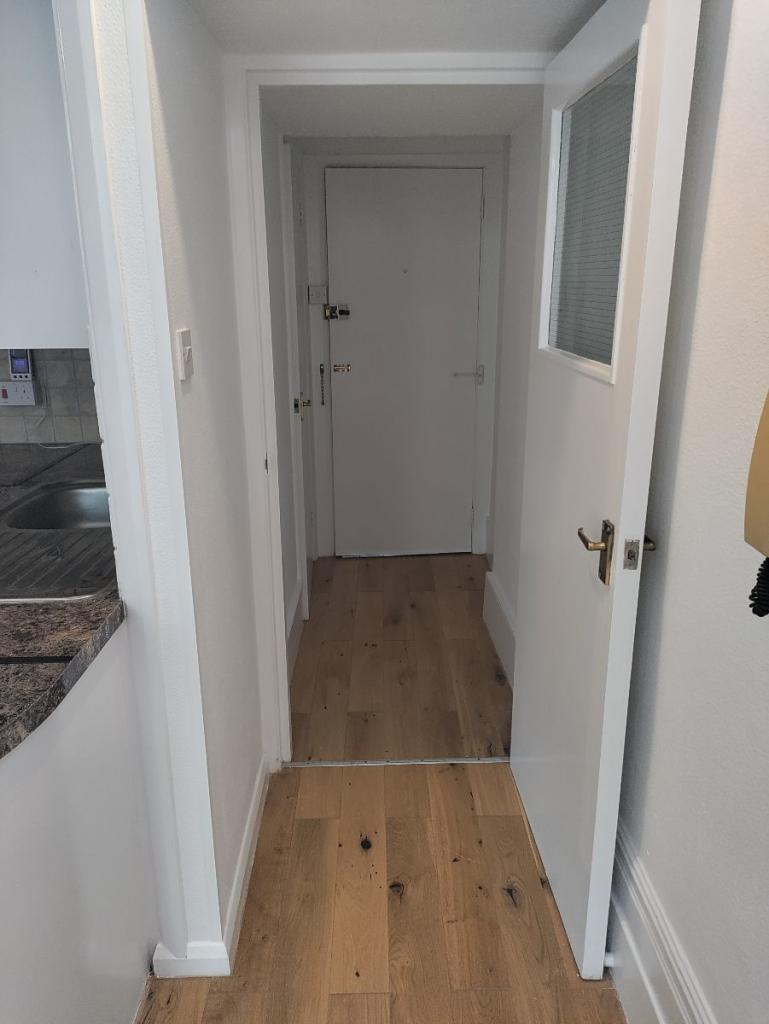
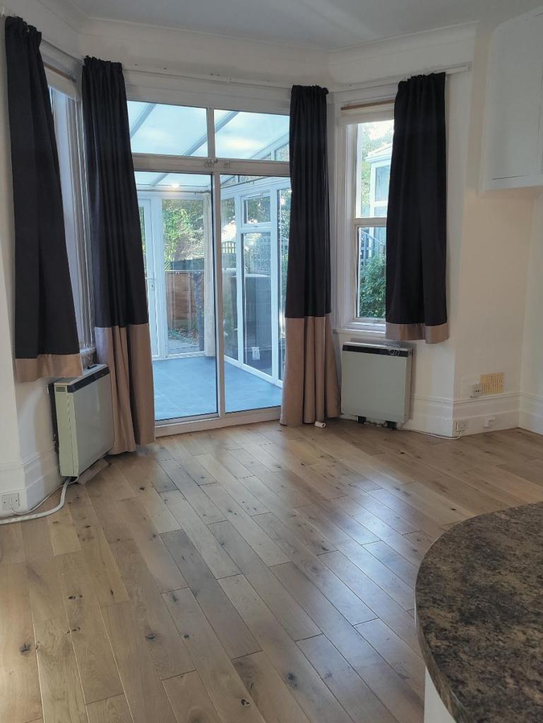
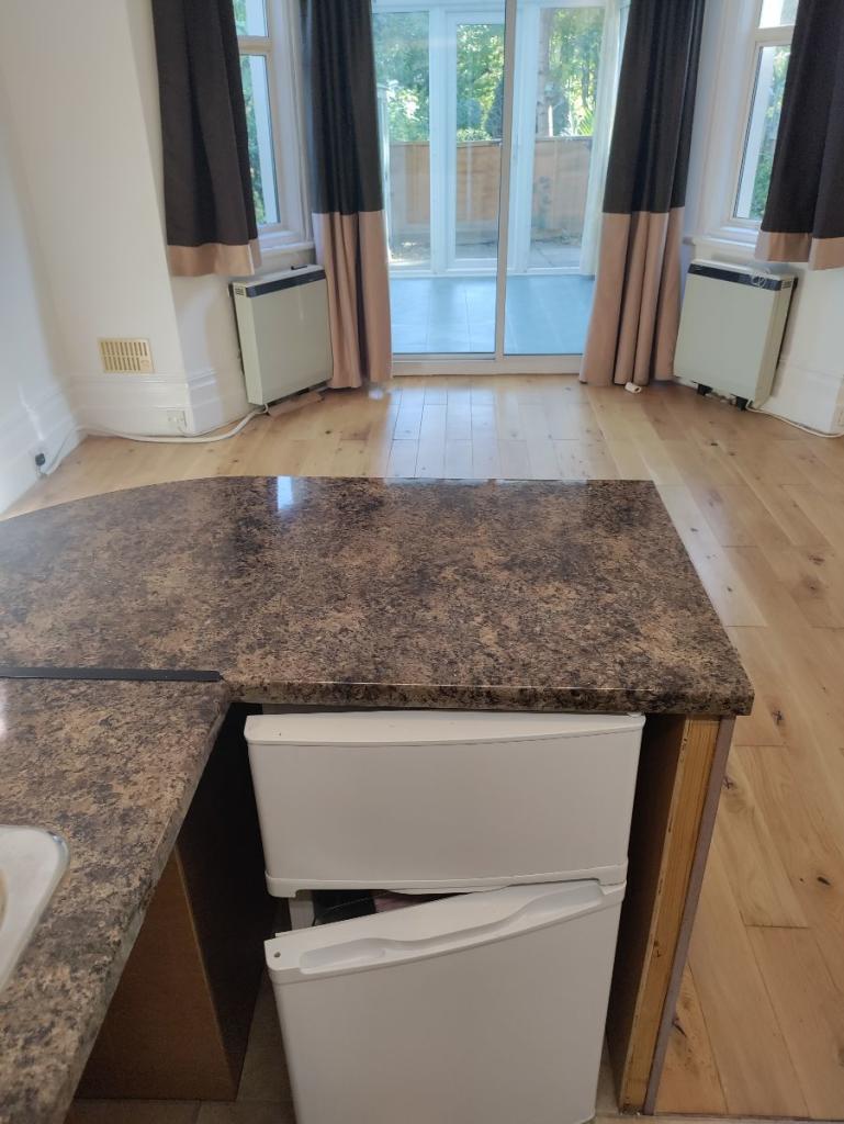
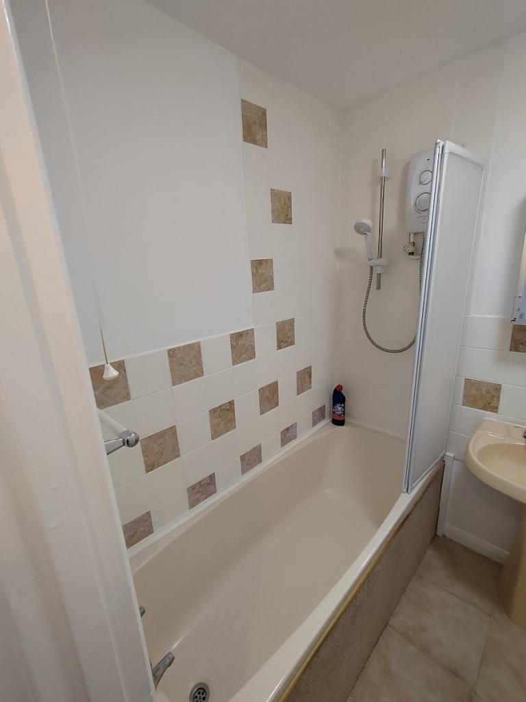
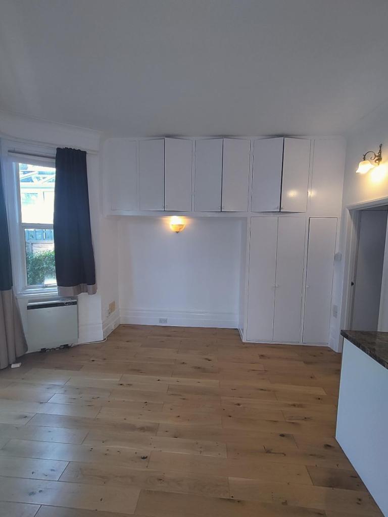
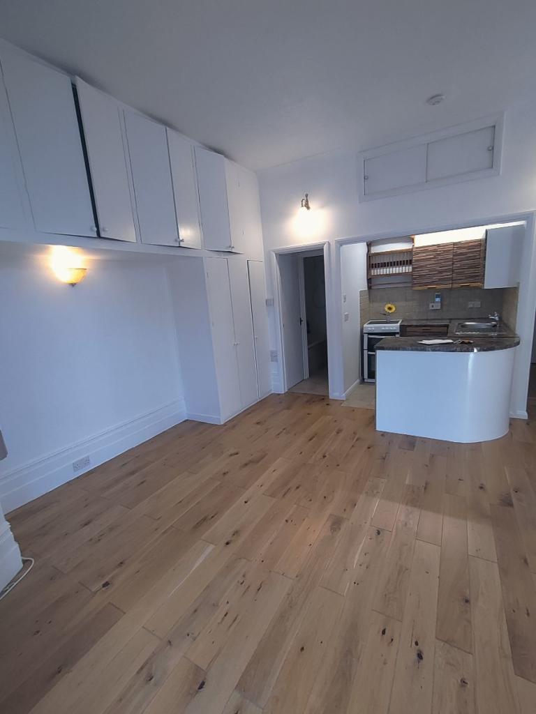
SPACIOUS SELF CONTAINED STUDIO WITH PRIVATE GARDEN PLUS CONSERVATORY
- Bedrooms
- 0
- Bathrooms
- 1
The heatmap indicates the level of crime in the area. The color of the heatmap indicates the crime severity and recency.
Metrics Year-on-Year
- Average area value
- 245,817.00 £Decreased by 32.98 %
- Average area rental value
- 1,151.00 £/moIncreased by 2.22 %
- Est rental Yield
- 5.62 %Increased by 52.72 %
- Crime Rate
- 1.00 %Unchanged by 0.00 %
from 366,801.00 £
from 1,126.00 £/mo
from 3.68 %
from 1.00 %
Agent Activity
Hashtag Properties created the listing.
Nearby Schools
| Name | Type | Ofsted | Distance |
|---|---|---|---|
| Anderida Learning Centre | Other Independent Special School | Good | 0.54 KM |
| Bourne Primary School | Community School | Good | 0.64 KM |
| Stafford Junior School | Academy Sponsor Led | 0.84 KM | |
| St Thomas A Becket Catholic Primary School | Voluntary Aided School | Good | 0.92 KM |
| Roselands Infants' School | Academy Converter | 0.99 KM |
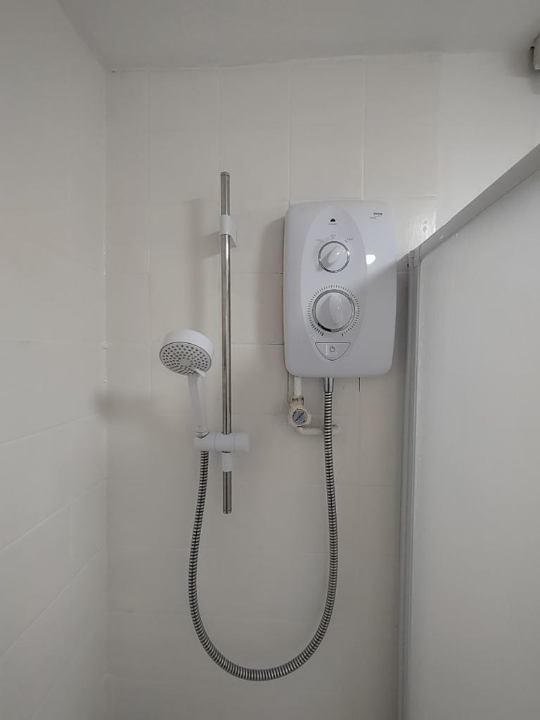
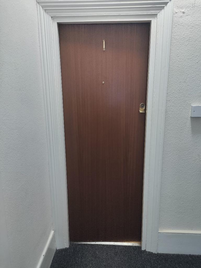
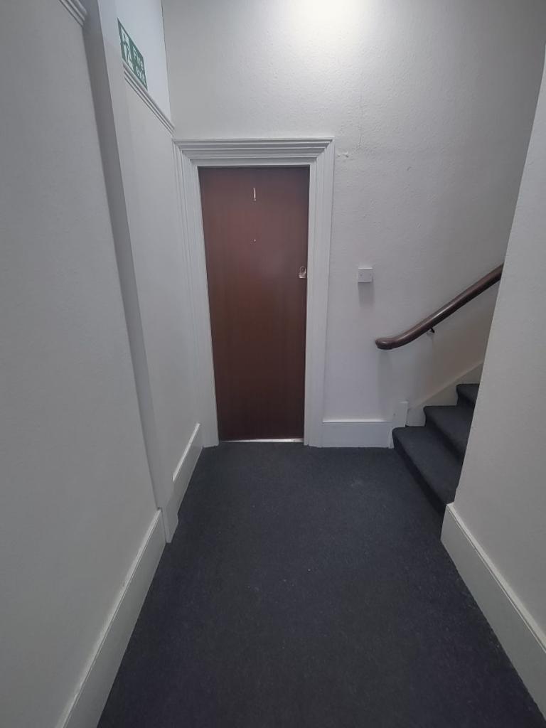
Images


Nearby Streets
| Name | Average Price | Average Sqft | Distance |
|---|---|---|---|
| Whitley Road | £ 270,000 | 0 | 0.00 KM |
| Upper Avenue Roundabout | £ 0 | 0 | 0.00 KM |
| Abbotts Close | £ 250,000 | 0 | 0.00 KM |
| Junction Road | £ 0 | 0 | 0.00 KM |
| Manifold Mews | £ 0 | 0 | 0.00 KM |
Nearby Transport
| Name | NLC | TLC | Distance |
|---|---|---|---|
| Eastbourne | 5448 | EBN | 0.87 KM |
| Hampden Park (Sussex) | 5450 | HMD | 2.52 KM |
| Pevensey And Westham | 5461 | PEV | 6.20 KM |
| Polegate | 5455 | PLG | 6.91 KM |
| Pevensey Bay | 5462 | PEB | 7.81 KM |
Nearby Listings
| Address | Price | Type | Score | Distance |
|---|---|---|---|---|
| Upper Avenue, Eastbourne, East Sussex, BN21 | £ 1,275 | RENT | Unknown | 0.02 KM |
| Roborough Close, Eastbourne | £ 1,800 | RENT | Unknown | 0.10 KM |
| Whitley Road, Eastbourne | £ 1,400 | RENT | Unknown | 0.19 KM |
| Winchcombe Road, Eastbourne, BN22 | £ 600 | RENT | Unknown | 0.22 KM |
| Winchcombe Road, Eastbourne, BN22 | £ 775 | RENT | Unknown | 0.22 KM |
Nearby Properties
| Address | Price | Distance |
|---|---|---|
| 34a Upper Avenue | £ 370,000 | 0.01 KM |
| 15 Roborough Close | £ 205,000 | 0.10 KM |
| 14 Roborough Close | £ 200,000 | 0.10 KM |
| 8 Roborough Close | £ 240,000 | 0.10 KM |
| 10 Roborough Close | £ 300,000 | 0.10 KM |