MA
Mayford Road
By Martin & Co
£ 3,750
Martin & Co says ..
Split Level Flat Walking Distance To Wandsworth Common
- Bedrooms
- 4
- Bathrooms
- 1
The heatmap indicates the level of crime in the area. The color of the heatmap indicates the crime severity and recency.
Metrics Year-on-Year
- Average area value
- 1,130,667.00 £Increased by 13.32 %
- Average area rental value
- 2,767.00 £/moIncreased by 5.85 %
- Est rental Yield
- 2.94 %Decreased by 6.37 %
- Crime Rate
- 2.00 %Unchanged by 0.00 %
from 997,755.00 £
from 2,614.00 £/mo
from 3.14 %
from 2.00 %
Agent Activity
Martin & Co created the listing.
Nearby Schools
| Name | Type | Ofsted | Distance |
|---|---|---|---|
| Oak Lodge School | Community Special School | Good | 0.18 KM |
| Holy Ghost Catholic Primary School | Voluntary Aided School | Outstanding | 0.23 KM |
| Broomwood Hall School | Other Independent School | 0.34 KM | |
| Hornsby House School | Other Independent School | 0.41 KM | |
| Chestnut Grove School | Academy Converter | Good | 0.52 KM |
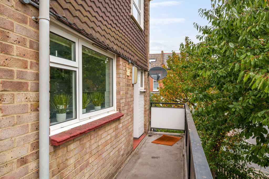
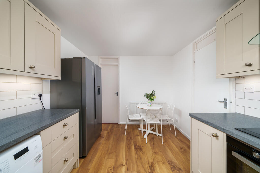
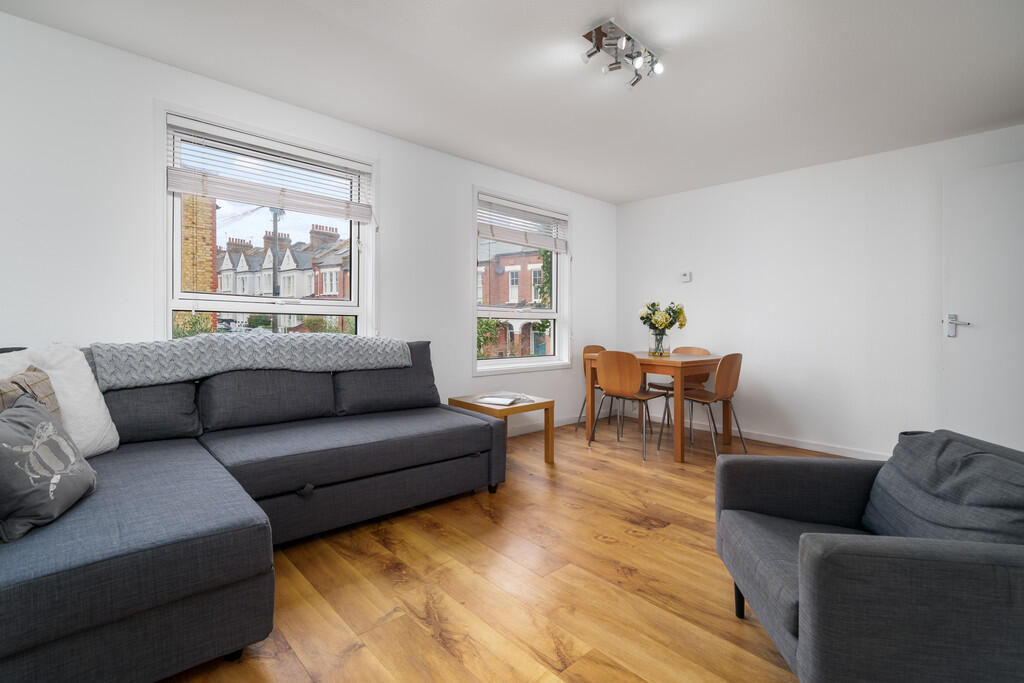
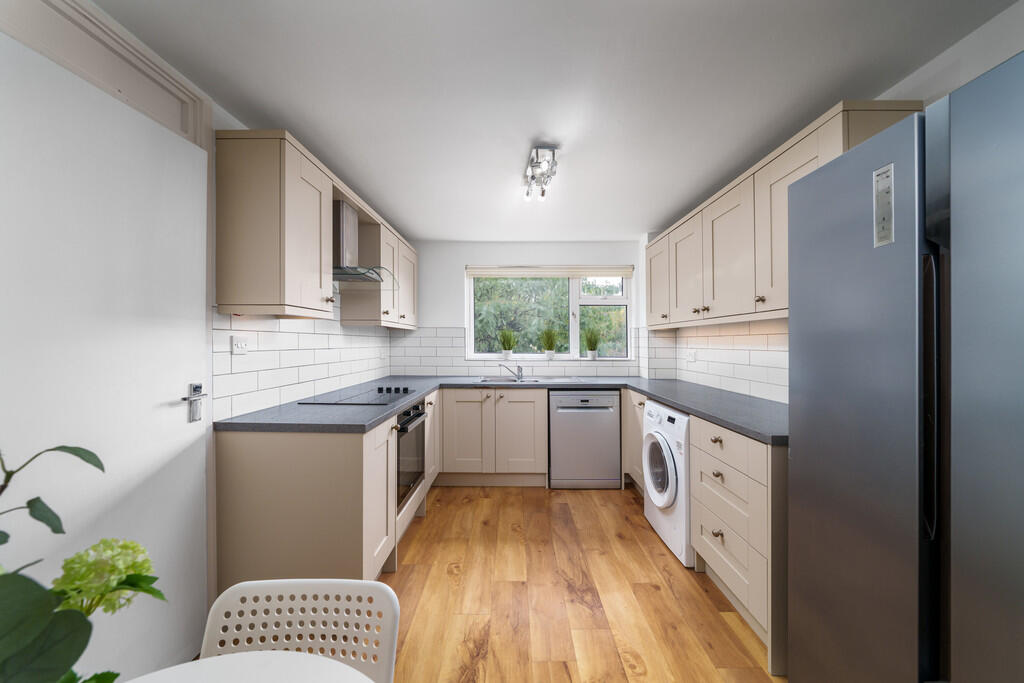
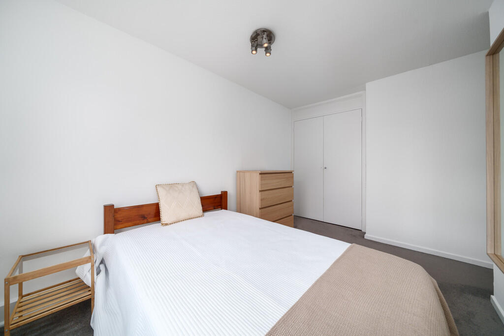
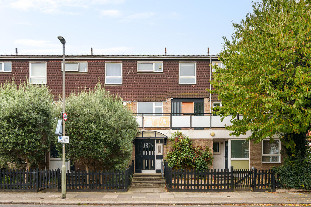
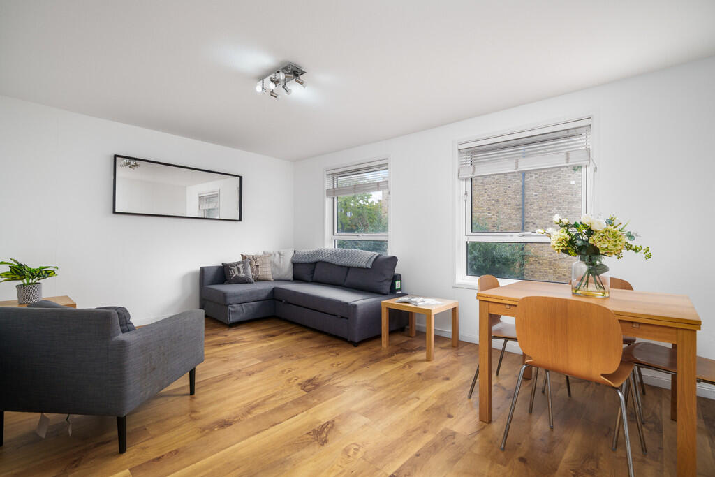
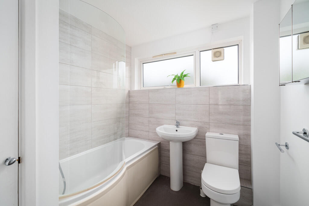
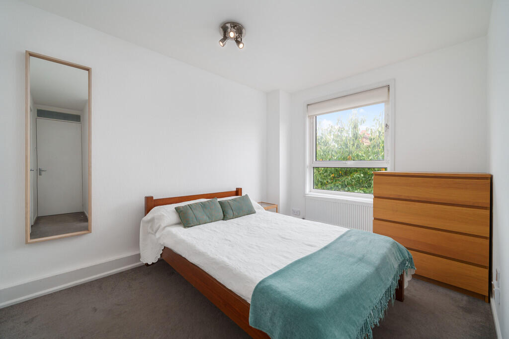
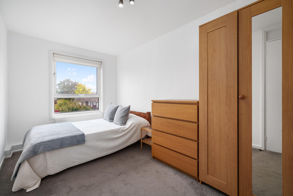
Images


Nearby Streets
| Name | Average Price | Average Sqft | Distance |
|---|---|---|---|
| Balham Park Road | £ 0 | 0 | 0.00 KM |
| Jaggard Way | £ 575,000 | 0 | 0.00 KM |
| Norgrove Street | £ 0 | 0 | 0.00 KM |
| Stonell's Road | £ 0 | 0 | 0.00 KM |
| Nottingham Road | £ 1,380,000 | 0 | 0.00 KM |
Nearby Transport
| Name | NLC | TLC | Distance |
|---|---|---|---|
| Wandsworth Common | 5395 | WSW | 0.47 KM |
| Balham | 5399 | BAL | 0.89 KM |
| Clapham Junction | 5595 | CLJ | 2.24 KM |
| Tooting | 5389 | TOO | 3.06 KM |
| Earlsfield | 5584 | EAD | 3.19 KM |
Nearby Listings
| Address | Price | Type | Score | Distance |
|---|---|---|---|---|
| Mayford Road | £ 3,750 | RENT | Unknown | 0.00 KM |
| Birchlands Avenue, SW12 | £ 5,950 | RENT | Unknown | 0.18 KM |
| Mayford Road, London | £ 5,000 | RENT | Unknown | 0.19 KM |
| Gosberton Road, Balham, SW12 | £ 1,850 | RENT | Unknown | 0.20 KM |
| Gosberton Road, London, SW12 | £ 6,550 | RENT | Unknown | 0.21 KM |
Nearby Properties
| Address | Price | Distance |
|---|---|---|
| 102 Mayford Road | £ 358,000 | 0.03 KM |
| 66 Mayford Road | £ 1,300,000 | 0.03 KM |
| 48 Mayford Road | £ 2,100,000 | 0.03 KM |
| 94 Mayford Road | £ 250,000 | 0.03 KM |
| 92 Mayford Road | £ 400,000 | 0.03 KM |