
Brownside Road, Burnley, Lancashire, BB10
By Reeds Rains
£ 350,000
Reviews
3 out of 5 stars
Reeds Rains says ..
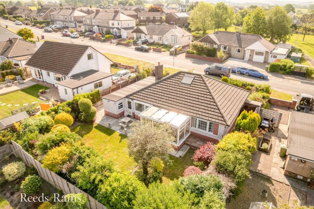
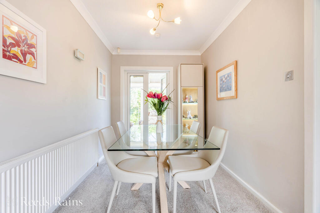
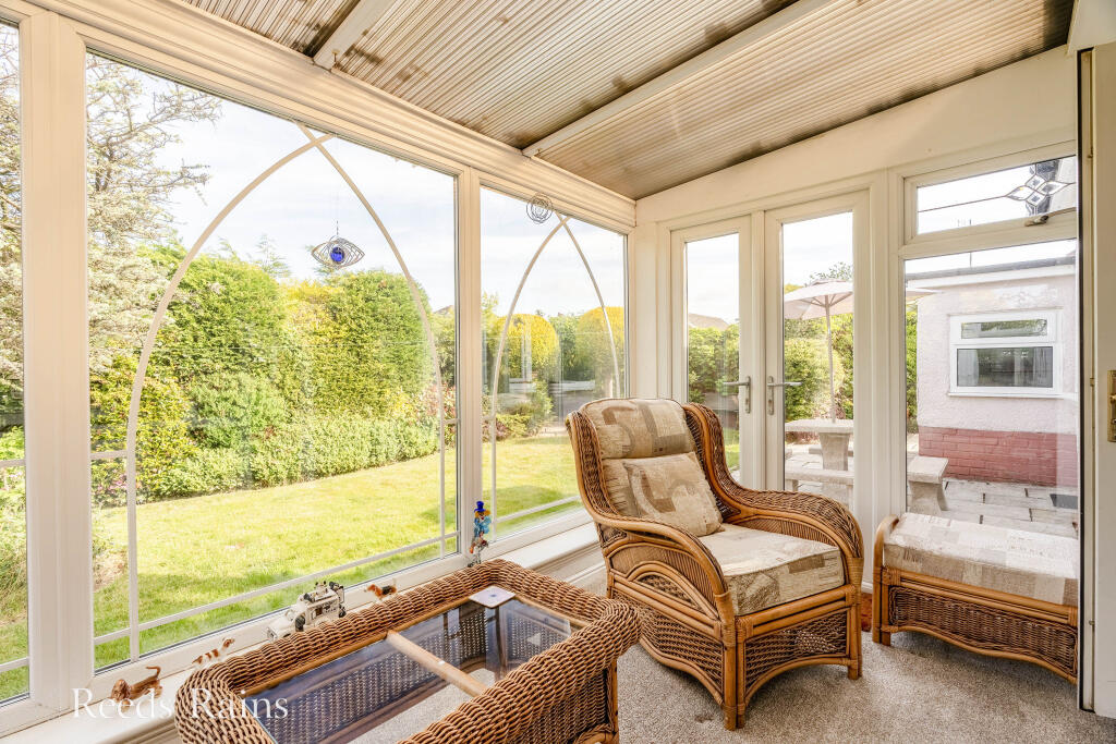
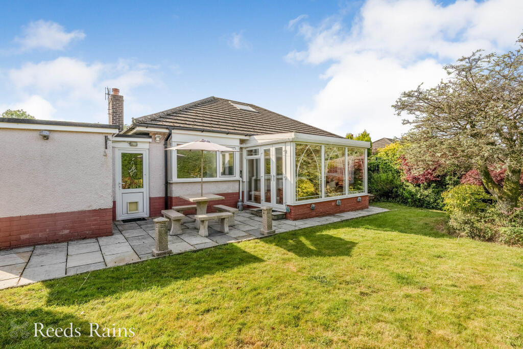
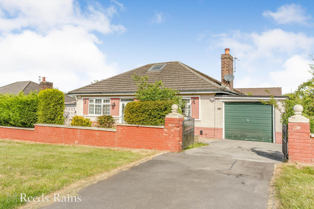
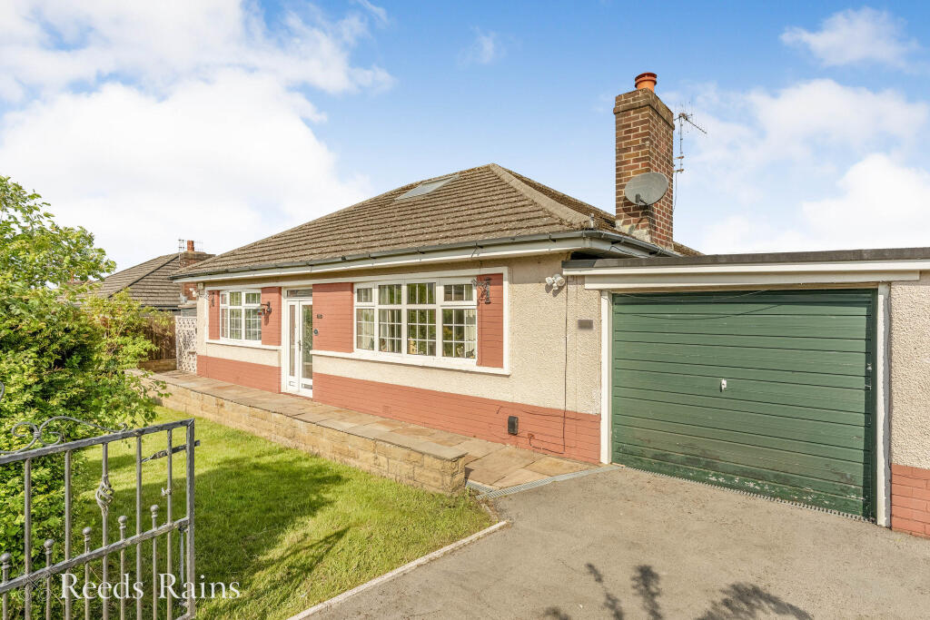
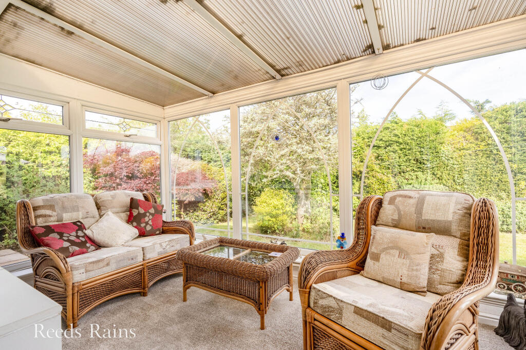
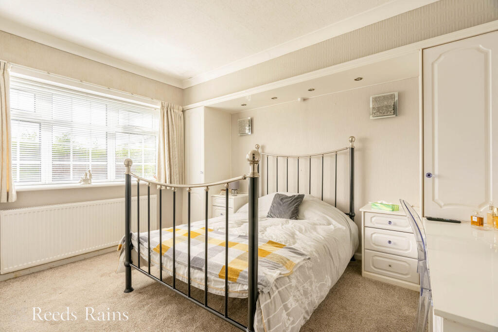
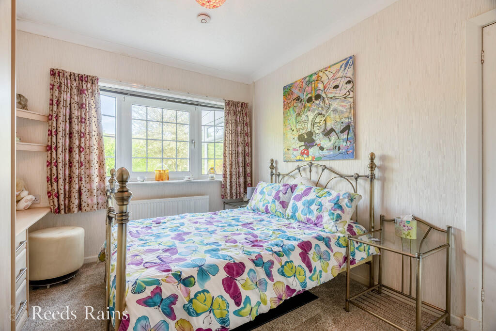
Nestled in the picturesque village of Worsthorne, this charming detached bungalow offers a perfect blend of tranquility and convenience. Boasting 2 well-proportioned bedrooms, 3 reception rooms and a conservatory this property is ideal for a family seeking space on one level or those seeking a pe...
Property Oracle says ..
The property is a 2 bedroom bungalow located in Cliviger With Worsthorne, Burnley, Lancashire. It benefits from a good sized garden and a detached garage. The property appears to be well maintained and presented to a good standard.
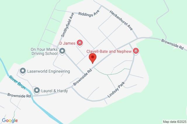
The location is reasonably good, with Worsthorne Primary School being within a short distance. There are also several other schools within a reasonable commuting distance. The proximity to local train stations at Burnley Central, Nelson and others provides convenient access to other towns and cities.
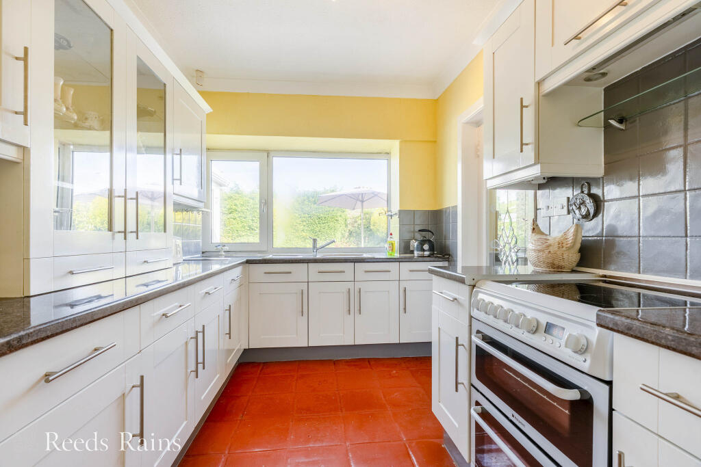
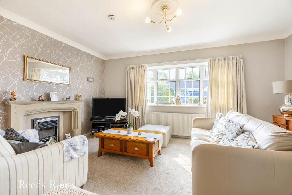
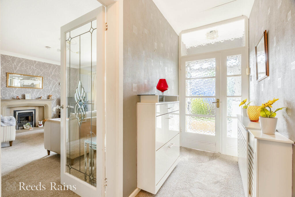
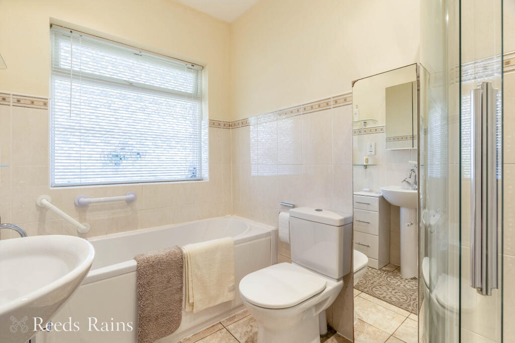
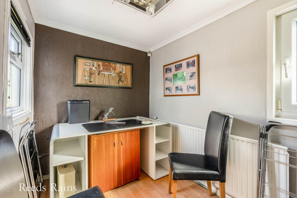
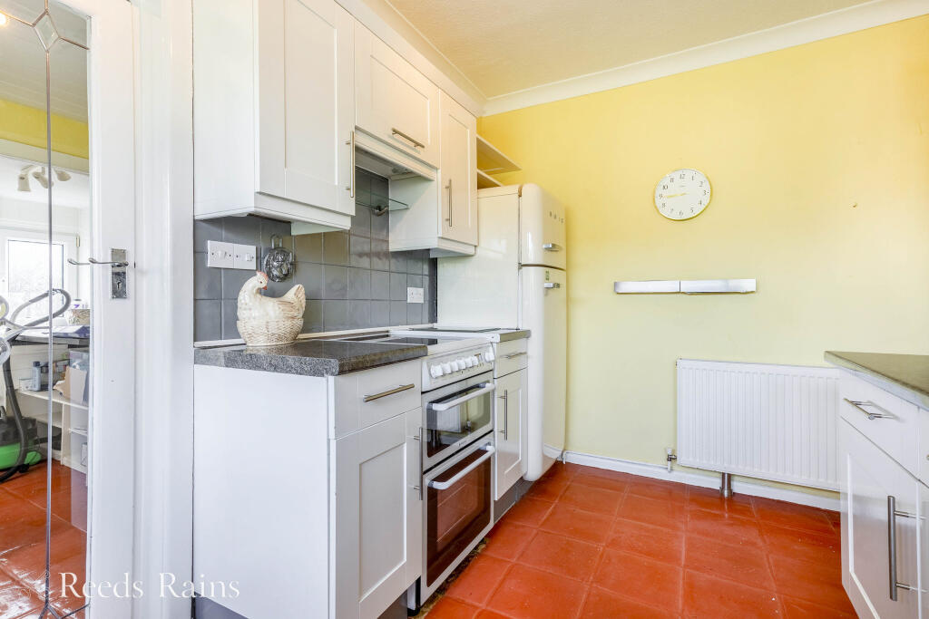
Based on the images provided, the property is in good condition. There is no obvious evidence of significant repair or renovation needs. The kitchen and bathroom appear modern and well-maintained.
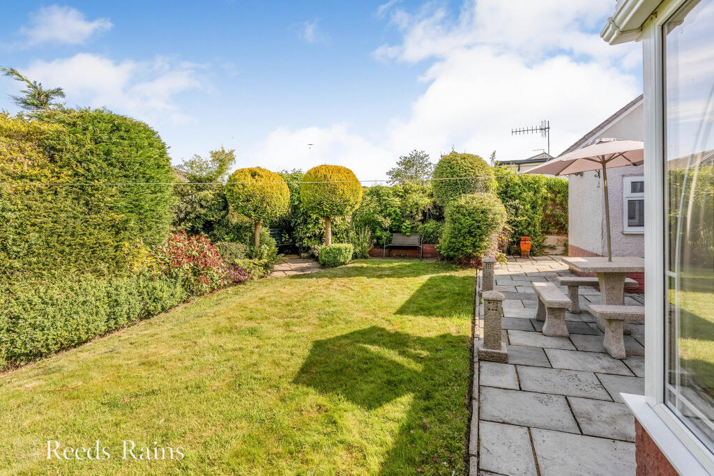
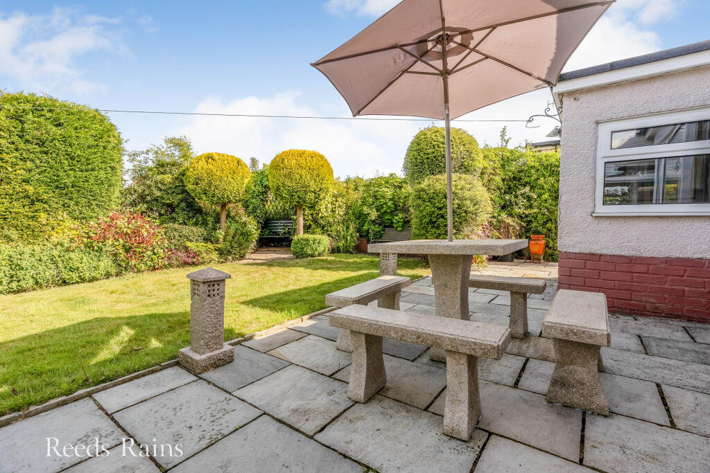
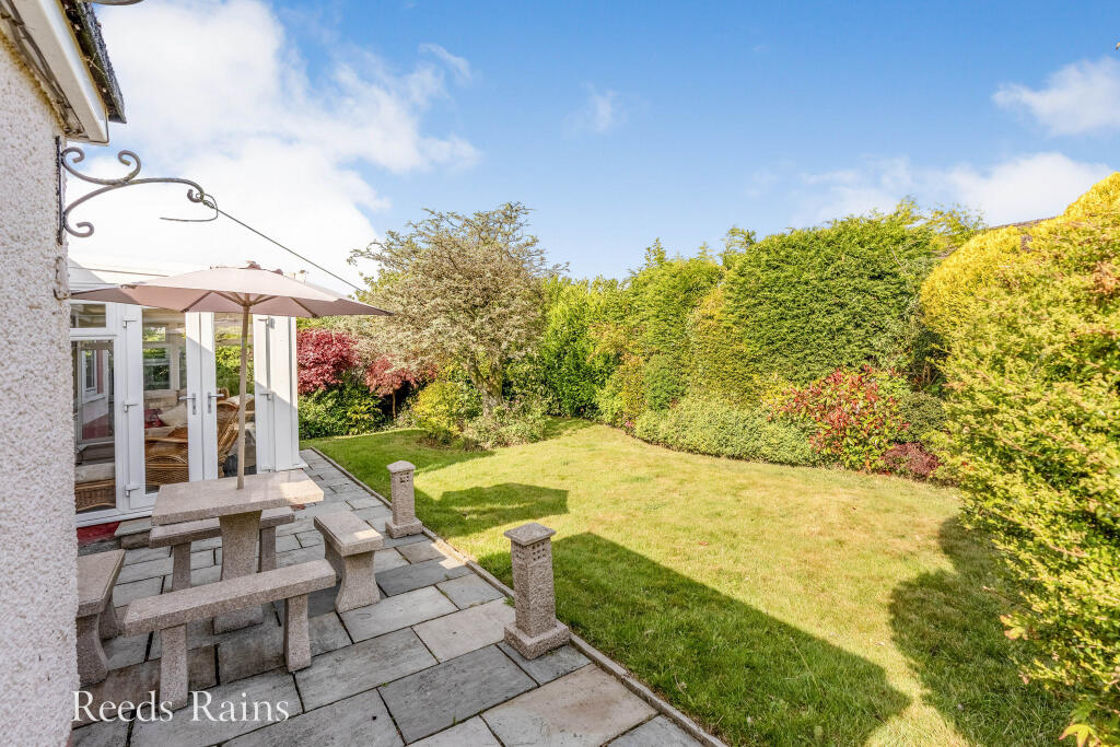
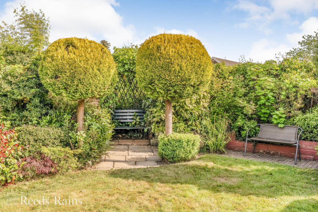
The property has a good sized garden, offering ample outdoor space. The images show a well-maintained lawn, patio area and mature shrubs and trees.
Considering the average house price in the area is £309,642 and the average price per sqft is £258, the list price of £350,000 seems reasonable, though potentially slightly on the higher end of the market, given the lack of sqft information for this property. However, the property’s condition, location, and garden size may justify this pricing. More information on the property’s square footage would allow for a more precise assessment of the price.
Therefore, we give this property 7 / 10. *Disclaimer: This is our option and does constitute a recommendation or financial advice. Do your own research. *
- Price
- 7
- Condition
- 9
- Location
- 7
- Land
- 8
- Bedrooms
- 2
- Bathrooms
- 1
The heatmap indicates the level of crime in the area. The color of the heatmap indicates the crime severity and recency.
Metrics Year-on-Year
- Average area value
- 537,450.00 £Increased by 70.34 %
- Average area rental value
- 988.00 £/moIncreased by 30.00 %
- Est rental Yield
- 2.21 %Decreased by 23.53 %
- Crime Rate
- 16.00 %Unchanged by 0.00 %
Agent Activity
Reeds Rains created the listing.
Nearby Schools
| Name | Type | Ofsted | Distance |
|---|---|---|---|
| Worsthorne Primary School | Community School | Good | 0.87 KM |
| Compass Community School Lancashire | Other Independent Special School | 2.04 KM | |
| Burnley Brunshaw Primary School | Community School | Requires improvement | 2.25 KM |
| Unity College | Foundation School | Good | 2.45 KM |
| Sir John Thursby Community College | Foundation School | Good | 2.50 KM |
Images


Nearby Streets
| Name | Average Price | Average Sqft | Distance |
|---|---|---|---|
| Hall Street | £ 0 | 0 | 0.00 KM |
| Mayfair Road | £ 179,950 | 0 | 0.00 KM |
| Deerpark Road | £ 229,950 | 0 | 0.00 KM |
| Halstead Street | £ 0 | 0 | 0.00 KM |
| Chapel Street | £ 159,950 | 0 | 0.00 KM |
Nearby Transport
| Name | NLC | TLC | Distance |
|---|---|---|---|
| Burnley Central | 2550 | BNC | 4.93 KM |
| Nelson | 2565 | NEL | 5.31 KM |
| Burnley Manchester Road | 2549 | BYM | 5.36 KM |
| Brierfield | 2554 | BRF | 5.55 KM |
| Burnley Barracks | 2743 | BUB | 6.36 KM |
Nearby Listings
| Address | Price | Type | Score | Distance |
|---|---|---|---|---|
| Brownside Road, Burnley, Lancashire, BB10 | £ 350,000 | BUY | 7 / 10 | 0.00 KM |
| Barnfield Avenue, Burnley | £ 265,000 | BUY | 7 / 10 | 0.04 KM |
| Brownside Road, Burnley, BB10 | £ 180,000 | BUY | 6 / 10 | 0.06 KM |
| Brownside Road, Burnley, BB10 3JW | £ 335,000 | BUY | 7 / 10 | 0.13 KM |
| Brownside Road, Burnley, BB10 3JW | £ 210,000 | BUY | 6 / 10 | 0.13 KM |
Nearby Properties
| Address | Price | Distance |
|---|---|---|
| 8 Duncan Close | £ 163,500 | 0.10 KM |
| 12 Duncan Close | £ 190,000 | 0.10 KM |
| 14 Duncan Close | £ 203,500 | 0.10 KM |
| 3 Duncan Close | £ 138,000 | 0.10 KM |
| 10 Duncan Close | £ 165,000 | 0.10 KM |