CO
Wharf End, Trafford Park, Manchester, M17
By Complete RPI
£ 1,000
Complete RPI says ..
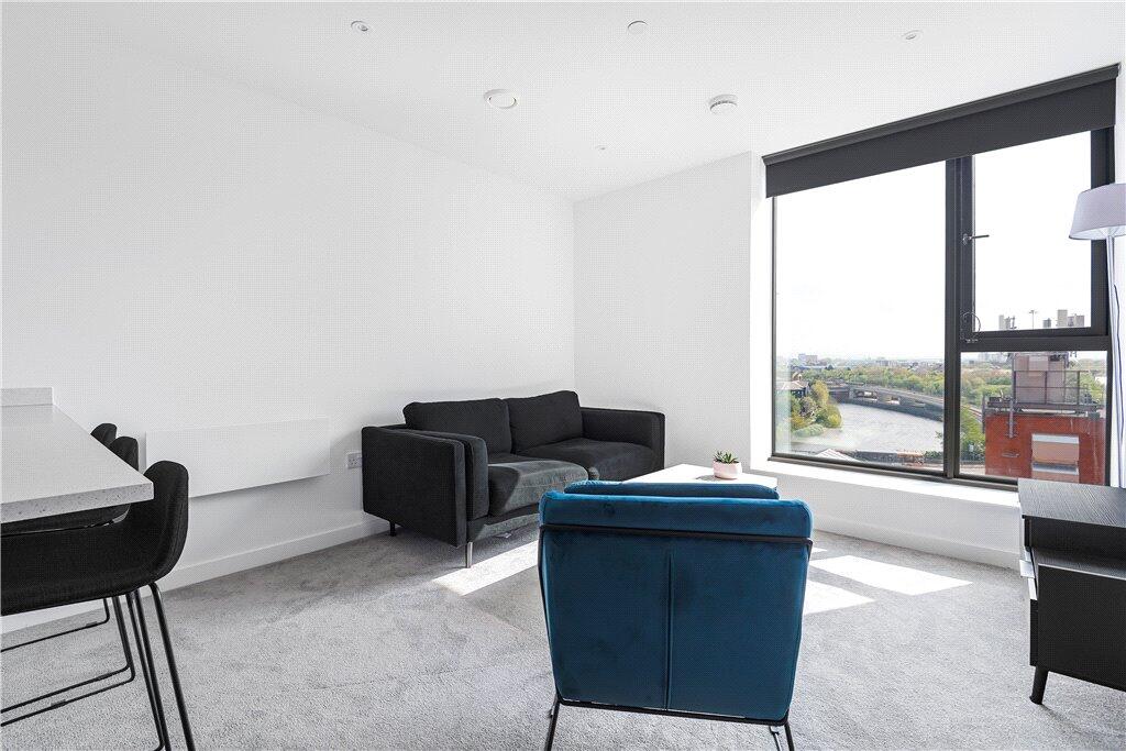
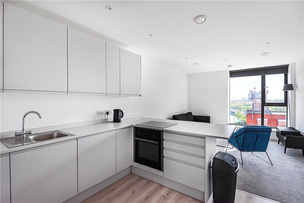
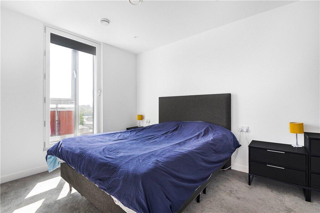
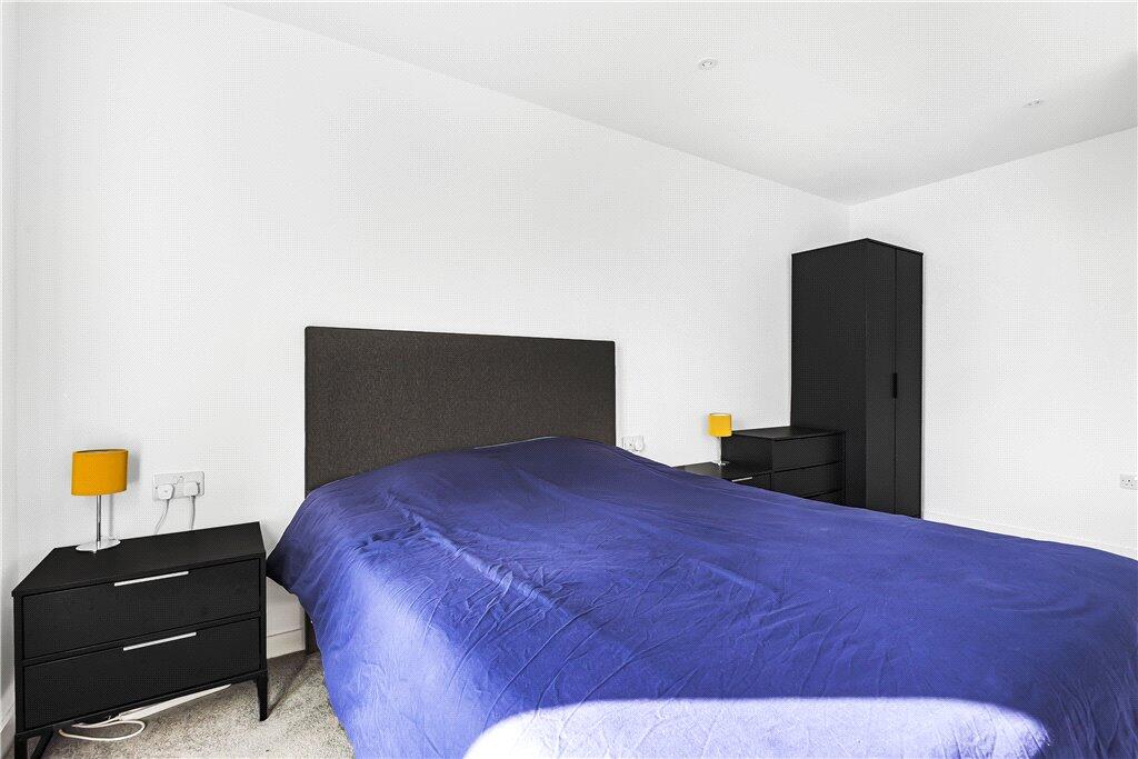
RCS210146- One Bedroom- One Bathroom- Furnished-
- Bedrooms
- 1
- Bathrooms
- 1
The heatmap indicates the level of crime in the area. The color of the heatmap indicates the crime severity and recency.
Metrics Year-on-Year
- Average area value
- 227,821.00 £Decreased by 12.26 %
- Average area rental value
- 1,322.00 £/moIncreased by 4.01 %
- Est rental Yield
- 6.96 %Increased by 18.57 %
- Crime Rate
- 20.00 %Unchanged by 0.00 %
from 259,652.00 £
from 1,271.00 £/mo
from 5.87 %
from 20.00 %
Agent Activity
Complete RPI created the listing.
Nearby Schools
| Name | Type | Ofsted | Distance |
|---|---|---|---|
| Trafford College Group | Further Education | 0.97 KM | |
| Oasis Academy Mediacityuk | Academy Sponsor Led | Good | 1.16 KM |
| Stretford High School | Foundation School | Good | 1.21 KM |
| Kings Road Primary School | Community School | Good | 1.37 KM |
| St Joseph'S Rc Primary School | Voluntary Aided School | Requires improvement | 1.43 KM |
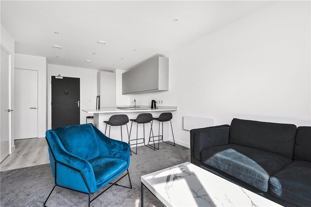
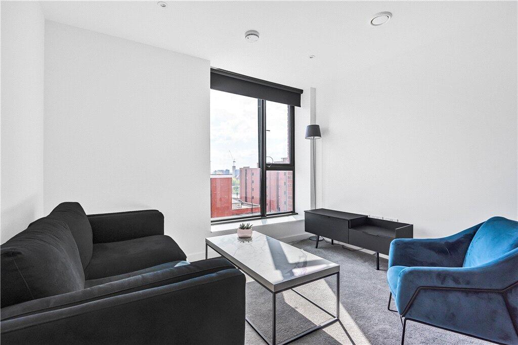
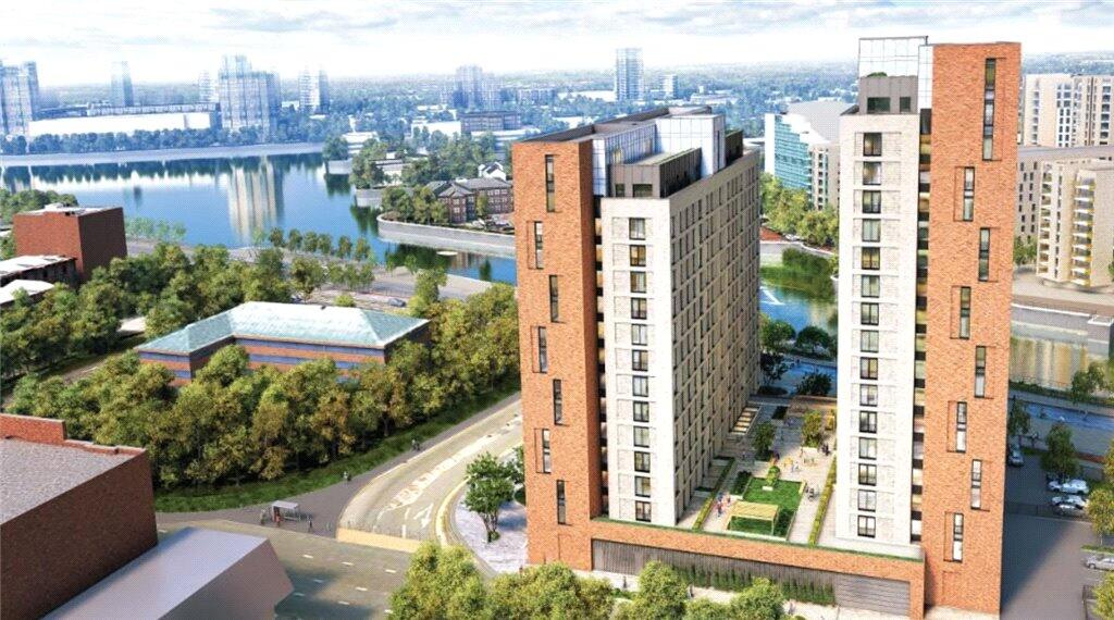
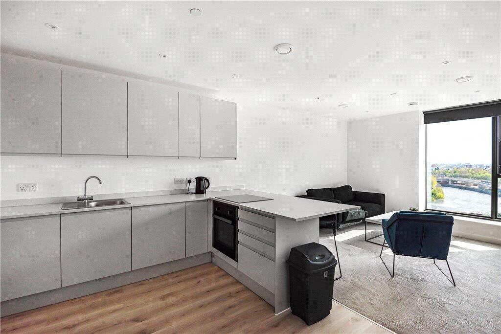
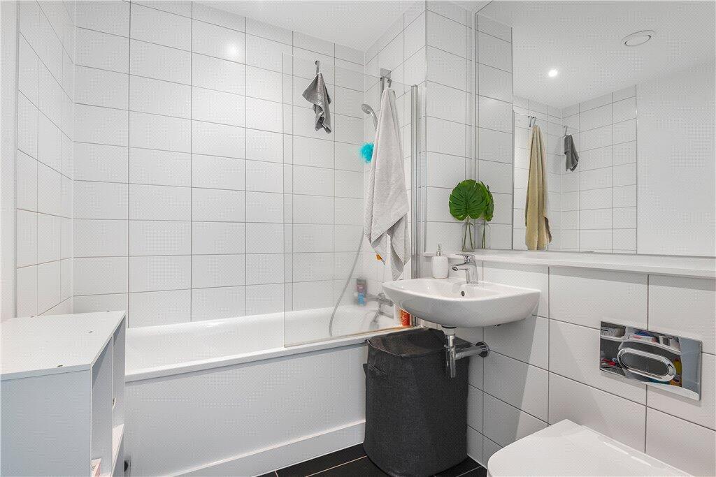
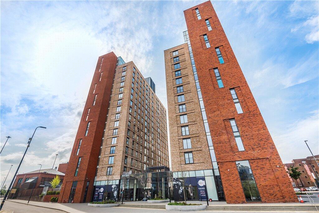
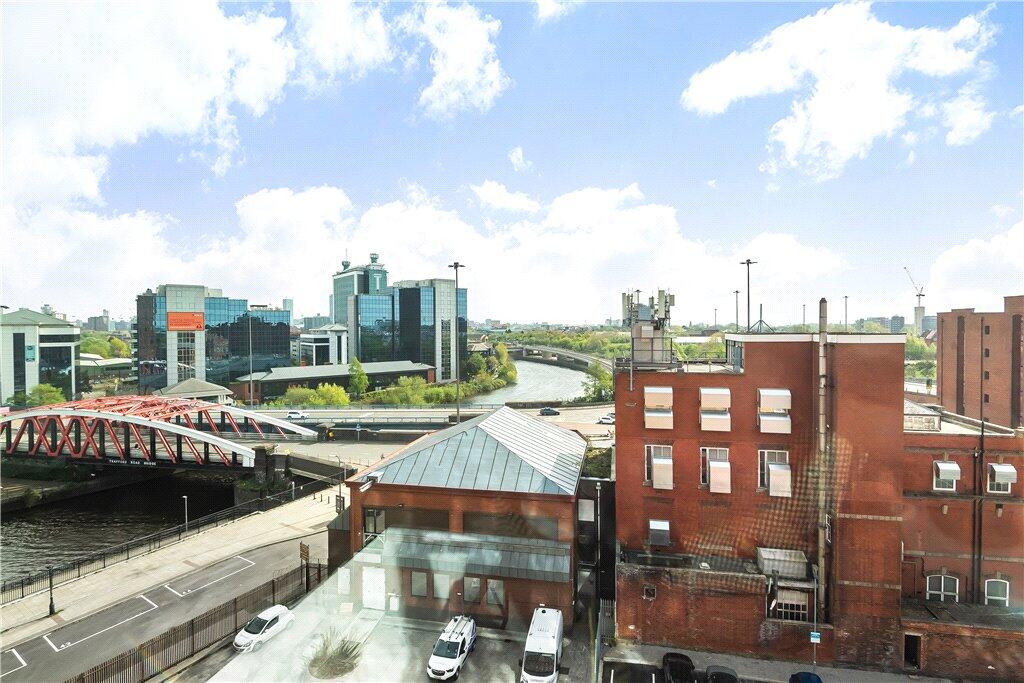
Images

Nearby Streets
| Name | Average Price | Average Sqft | Distance |
|---|---|---|---|
| Wharfside Way | £ 0 | 0 | 0.00 KM |
| Trafford Road | £ 159,000 | 0 | 0.00 KM |
| Clippers Quay | £ 0 | 0 | 0.00 KM |
| Barlow Road | £ 0 | 0 | 0.00 KM |
| Hulton Street | £ 0 | 0 | 0.00 KM |
Nearby Transport
| Name | NLC | TLC | Distance |
|---|---|---|---|
| Manchester United Football Ground | 2996 | MUF | 0.59 KM |
| Salford Crescent | 2794 | SLD | 2.65 KM |
| Trafford Park | 2969 | TRA | 2.94 KM |
| Salford Central | 2798 | SFD | 4.00 KM |
| Deansgate | 2963 | DGT | 4.01 KM |
Nearby Listings
| Address | Price | Type | Score | Distance |
|---|---|---|---|---|
| Trafford Park, Wharf End, Manchester, Greater Manchester, M17 | £ 1,300 | RENT | Unknown | 0.00 KM |
| No. 1 Old Trafford, Wharf End, Manchester, Greater Manchester, M17 | £ 1,300 | RENT | Unknown | 0.00 KM |
| Wharf End, Trafford Park, Manchester, M17 | £ 1,000 | RENT | Unknown | 0.00 KM |
| Wharf End, Trafford Park, Manchester, M17 1GW | £ 1,350 | RENT | Unknown | 0.00 KM |
| Wharf End, Manchester, Greater Manchester, M17 | £ 1,400 | RENT | Unknown | 0.00 KM |
Nearby Properties
| Address | Price | Distance |
|---|---|---|
| 65 Merchants Quay | £ 180,000 | 0.40 KM |
| 11 Merchants Quay | £ 210,000 | 0.40 KM |
| 19 Merchants Quay | £ 263,000 | 0.40 KM |
| 29 Merchants Quay | £ 220,000 | 0.40 KM |
| 59 Merchants Quay | £ 324,000 | 0.40 KM |