
Portway, London, London, E15
By JBrown
£ 3,500
JBrown says ..
....
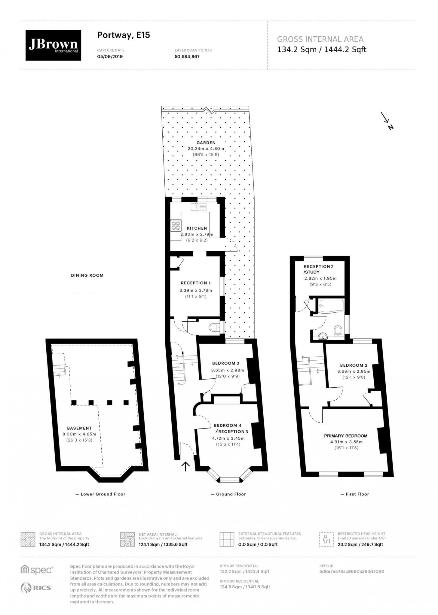
- Bedrooms
- 4
- Bathrooms
- 2
The heatmap indicates the level of crime in the area. The color of the heatmap indicates the crime severity and recency.
Metrics Year-on-Year
- Average area value
- 525,000.00 £Increased by 3.02 %
- Average area rental value
- 2,481.00 £/moIncreased by 9.30 %
- Est rental Yield
- 5.67 %Increased by 5.98 %
- Crime Rate
- 3.00 %Unchanged by 0.00 %
from 509,609.00 £
from 2,270.00 £/mo
from 5.35 %
from 3.00 %
Agent Activity
JBrown created the listing.
Nearby Schools
| Name | Type | Ofsted | Distance |
|---|---|---|---|
| West Ham Church Primary School | Voluntary Controlled School | Good | 0.30 KM |
| Rebecca Cheetham Nursery And Children'S Centre | Children's Centre | 0.43 KM | |
| Rebecca Cheetham Nursery And Children'S Centre | Local Authority Nursery School | Outstanding | 0.50 KM |
| Park Primary School | Community School | Good | 0.56 KM |
| East London Independent School | Other Independent Special School | Good | 0.57 KM |
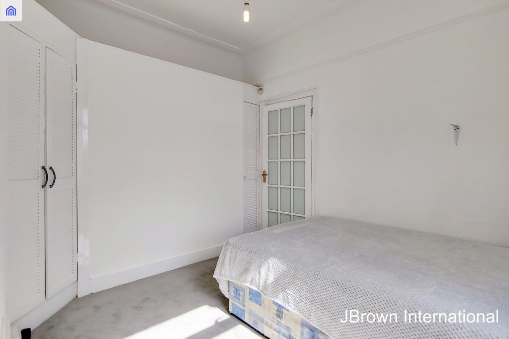
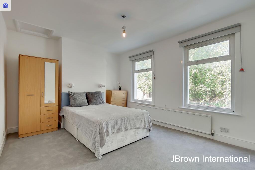
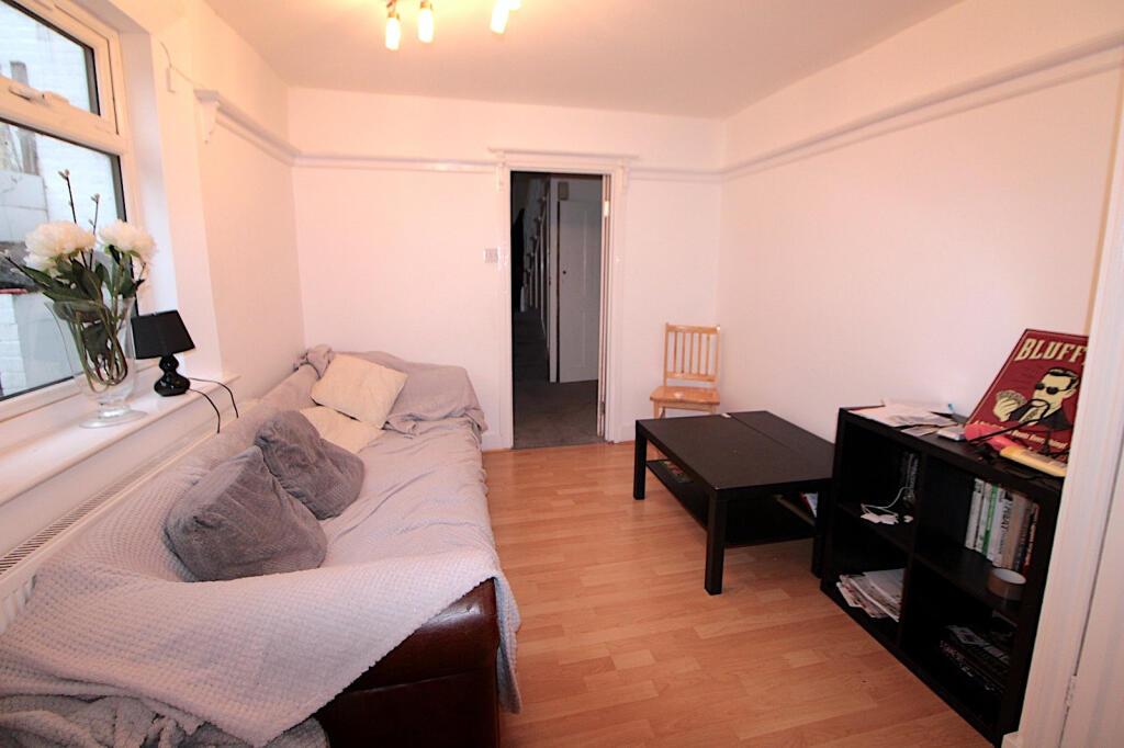
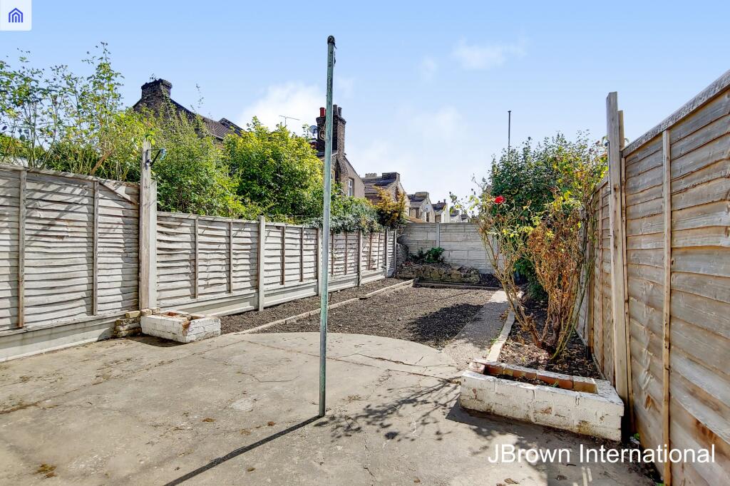
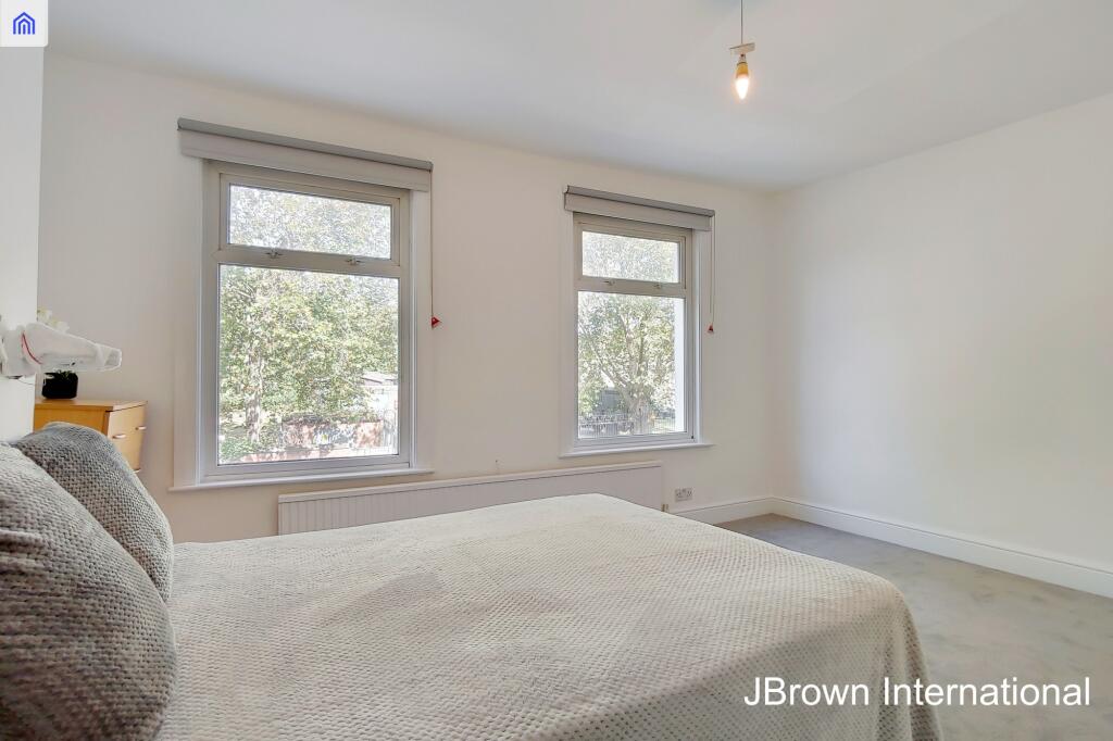
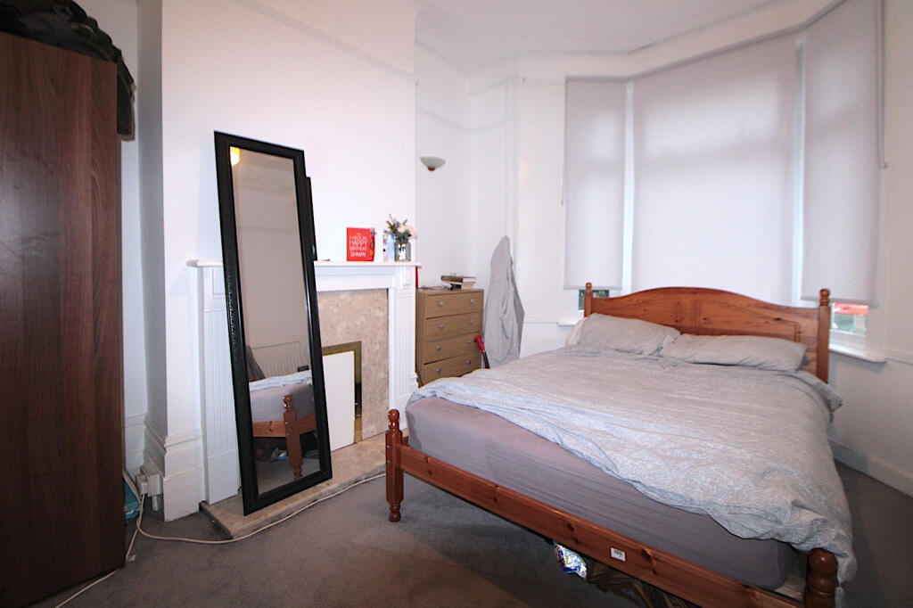
Images


Nearby Streets
| Name | Average Price | Average Sqft | Distance |
|---|---|---|---|
| Ladywell Street | £ 0 | 0 | 0.00 KM |
| Evesham Road | £ 550,000 | 0 | 0.00 KM |
| Vicarage Lane | £ 0 | 0 | 0.00 KM |
| Chaplin Road | £ 0 | 0 | 0.00 KM |
| Whalebone Lane | £ 375,000 | 0 | 0.00 KM |
Nearby Transport
| Name | NLC | TLC | Distance |
|---|---|---|---|
| West Ham | 7474 | WEH | 1.30 KM |
| Maryland | 6970 | MYL | 1.32 KM |
| Forest Gate | 6876 | FOG | 1.83 KM |
| Stratford | 6969 | SRA | 1.95 KM |
| Wanstead Park | 7408 | WNP | 2.15 KM |
Nearby Listings
| Address | Price | Type | Score | Distance |
|---|---|---|---|---|
| Portway, London, London, E15 | £ 3,500 | RENT | Unknown | 0.00 KM |
| Portway, London, E15 | £ 3,500 | RENT | Unknown | 0.00 KM |
| Portway, Stratford, London, E15 | £ 3,500 | RENT | Unknown | 0.03 KM |
| Portway, Stratford, E15 | £ 2,400 | RENT | Unknown | 0.07 KM |
| Liddington Road, London, E15 | £ 1,950 | RENT | Unknown | 0.09 KM |
Nearby Properties
| Address | Price | Distance |
|---|---|---|
| 73 Portway | £ 140,000 | 0.01 KM |
| 96 Portway | £ 600,000 | 0.01 KM |
| 69 Portway | £ 440,000 | 0.01 KM |
| 108 Portway | £ 350,000 | 0.01 KM |
| 100a Portway | £ 34,000 | 0.01 KM |