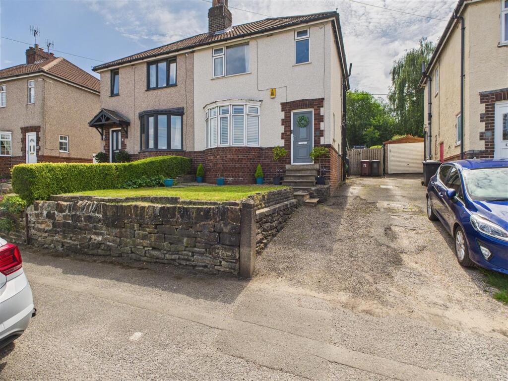

Cemetery Road, Dronfield
By Saxton Mee
£ 270,000
Saxton Mee says ..
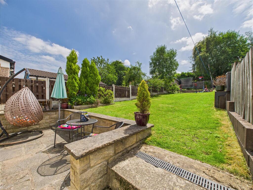
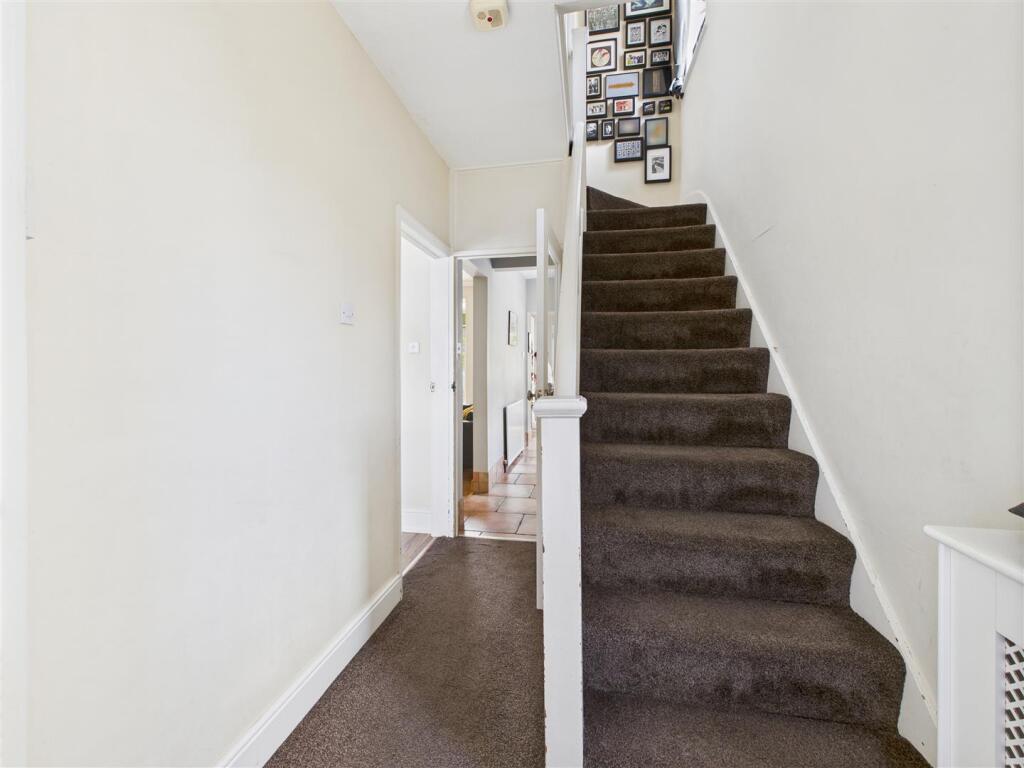
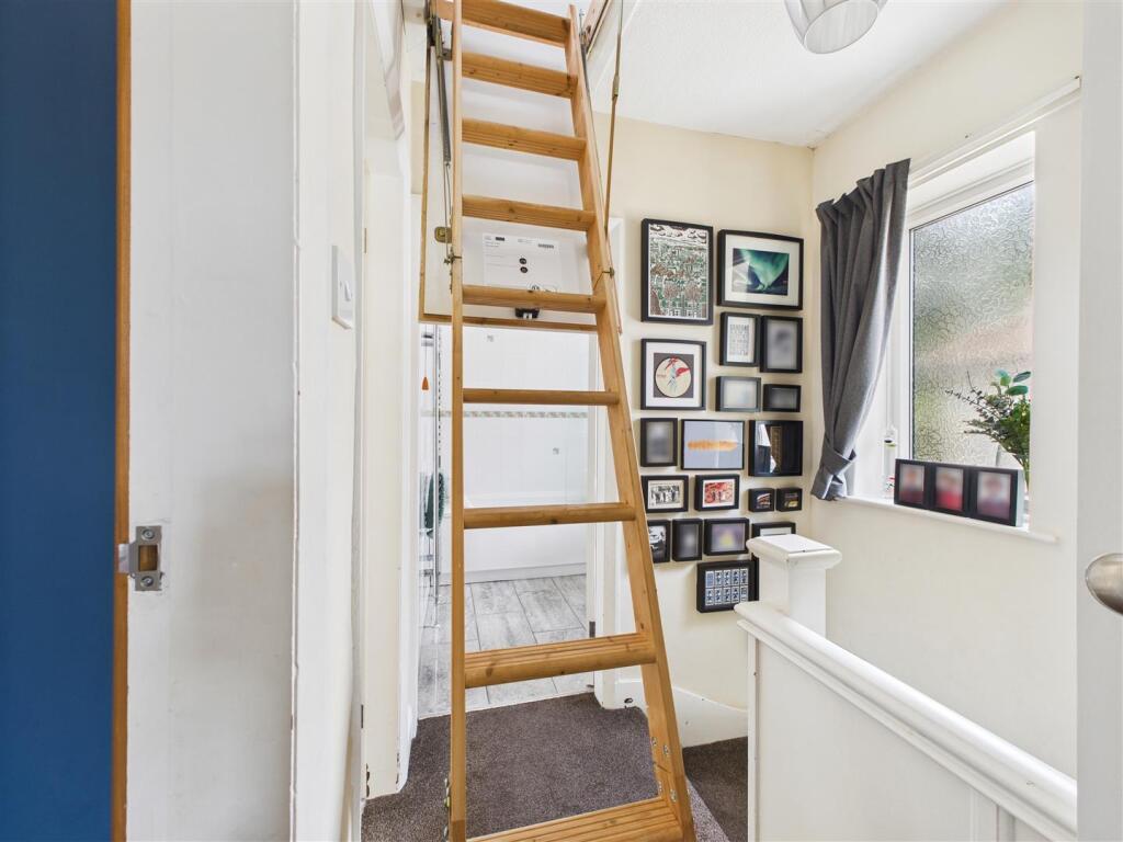
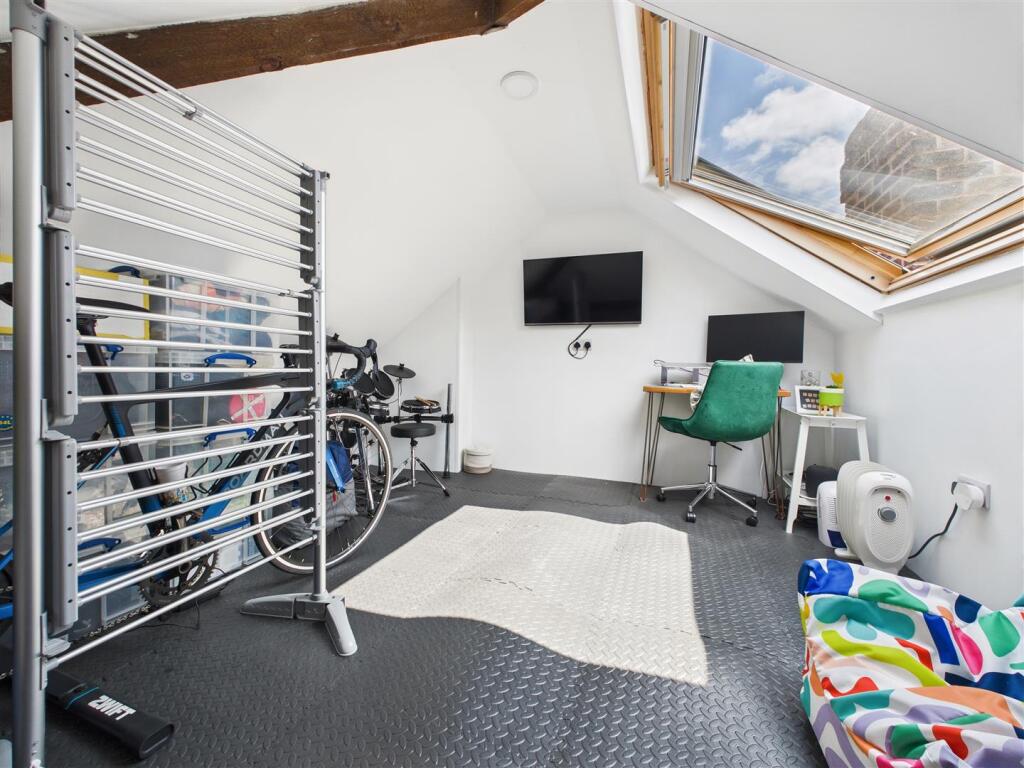
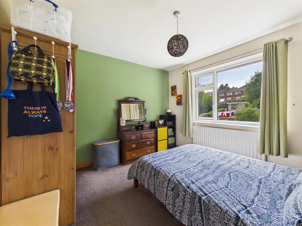
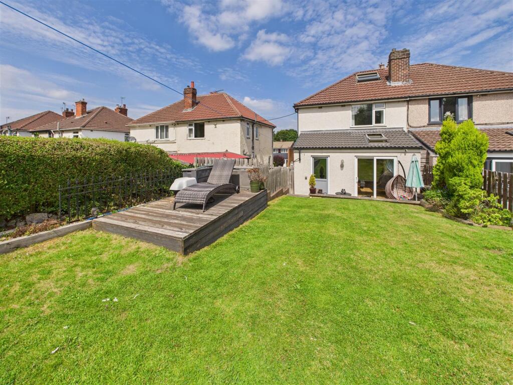
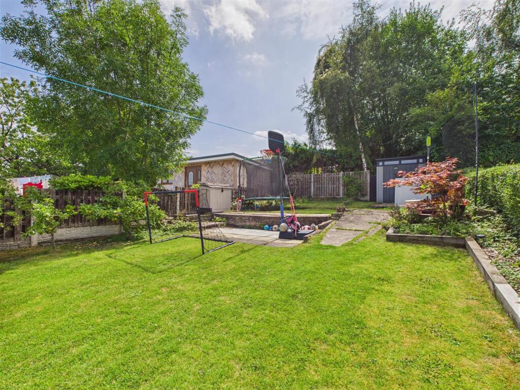
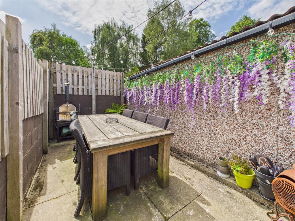
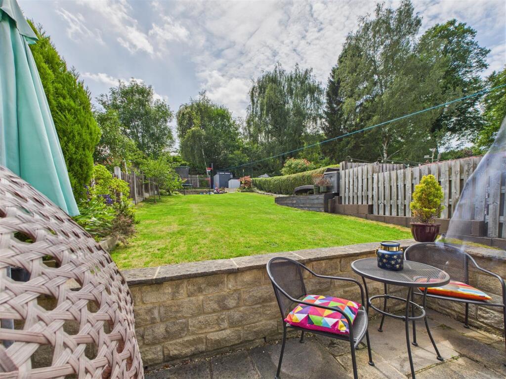
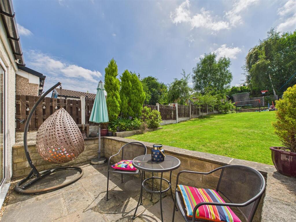
An nicely presented 1930's semi detached house located within this very popular and most convenient road, well placed for ease of access to nearby renowned schooling, train station and nearby parks. The property is equally ideal for a couple or family complemented by a lovely good sized ...
- Bedrooms
- 3
- Bathrooms
- 1
The heatmap indicates the level of crime in the area. The color of the heatmap indicates the crime severity and recency.
Metrics Year-on-Year
- Average area value
- 448,325.00 £Decreased by 13.51 %
- Average area rental value
- 1,480.00 £/moDecreased by 11.32 %
- Est rental Yield
- 3.96 %Increased by 2.59 %
- Crime Rate
- 7.00 %Unchanged by 0.00 %
from 518,358.00 £
from 1,669.00 £/mo
from 3.86 %
from 7.00 %
Agent Activity
Saxton Mee created the listing.
Nearby Schools
| Name | Type | Ofsted | Distance |
|---|---|---|---|
| Dronfield Stonelow Junior School | Community School | Good | 0.82 KM |
| Dronfield Henry Fanshawe School | Voluntary Controlled School | Outstanding | 0.83 KM |
| Holmesdale Infant School | Community School | Outstanding | 1.01 KM |
| Dronfield Infant School | Community School | Outstanding | 1.25 KM |
| Dronfield Junior School | Community School | Good | 1.25 KM |
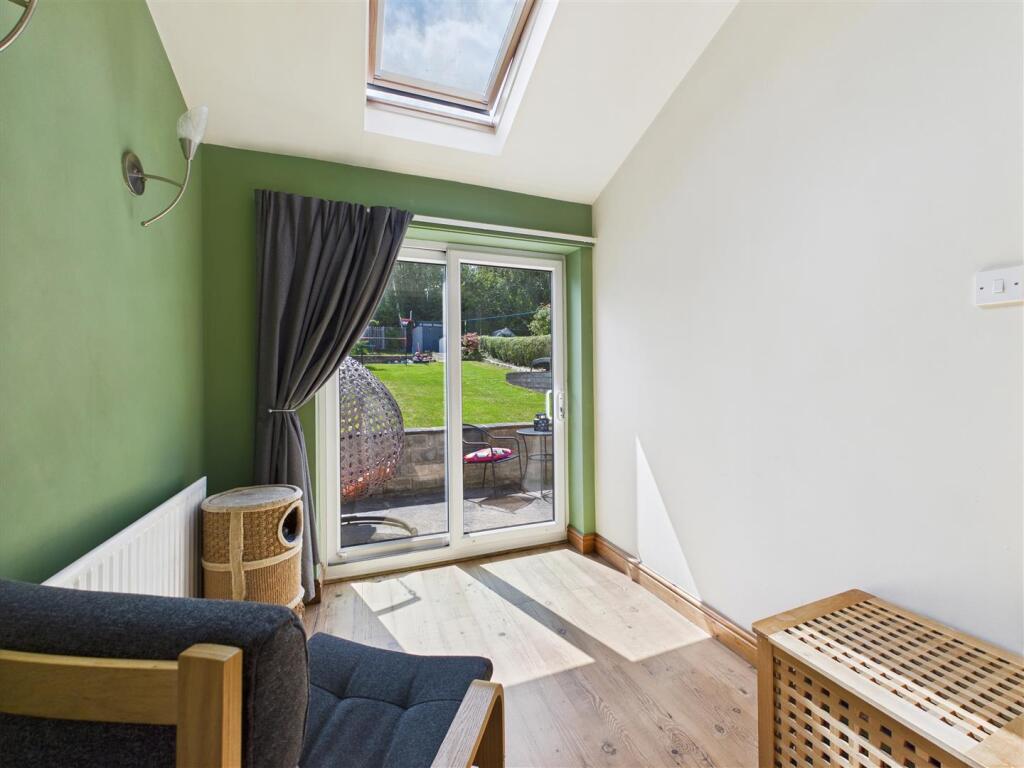
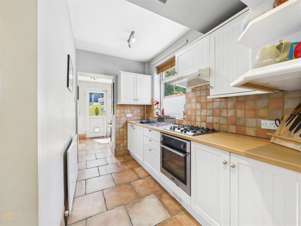
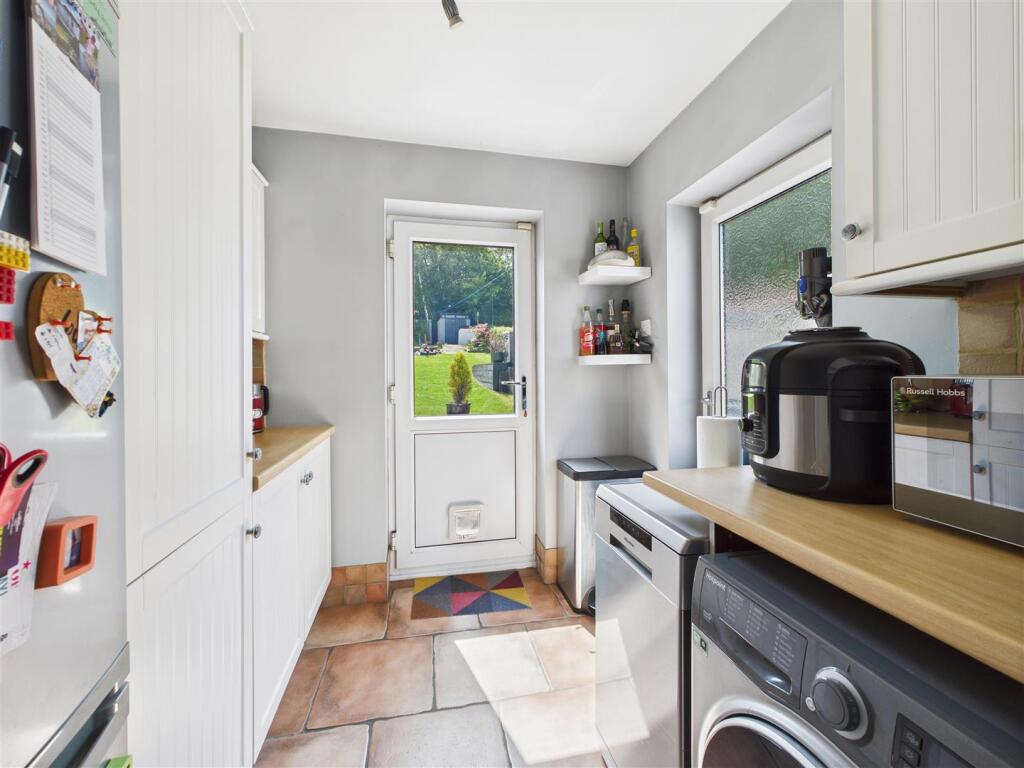
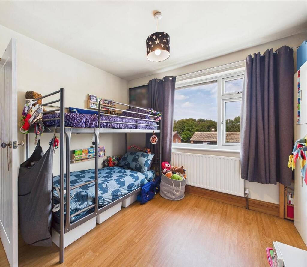
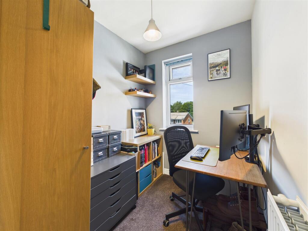
Images


Nearby Streets
| Name | Average Price | Average Sqft | Distance |
|---|---|---|---|
| Mill Lane | £ 0 | 0 | 0.00 KM |
| Hazel Court | £ 0 | 0 | 0.00 KM |
| Byron Close | £ 0 | 0 | 0.00 KM |
| Upper School Lane | £ 0 | 0 | 0.00 KM |
| Lindisfarne Road | £ 0 | 0 | 0.00 KM |
Nearby Transport
| Name | NLC | TLC | Distance |
|---|---|---|---|
| Dronfield | 6616 | DRO | 1.05 KM |
| Dore And Totley | 6690 | DOR | 6.96 KM |
| Chesterfield | 6615 | CHD | 7.90 KM |
| Sheffield | 6691 | SHF | 9.07 KM |
Nearby Listings
| Address | Price | Type | Score | Distance |
|---|---|---|---|---|
| Cemetery Road, Dronfield | £ 270,000 | BUY | Unknown | 0.00 KM |
| Cemetery Road, Dronfield | £ 280,000 | BUY | 6 / 10 | 0.10 KM |
| Westfield Road, Dronfield, Derbyshire, S18 | £ 300,000 | BUY | 7 / 10 | 0.12 KM |
| Westfield Road, Dronfield, Derbyshire, S18 | £ 275,000 | BUY | 6 / 10 | 0.13 KM |
| Chesterfield Road, Dronfield, Derbyshire, S18 1XH | £ 199,950 | BUY | 6 / 10 | 0.14 KM |
Nearby Properties
| Address | Price | Distance |
|---|---|---|
| 40 Westfield Road | £ 250,000 | 0.12 KM |
| 18 Westfield Road | £ 186,000 | 0.12 KM |
| 15 Westfield Road | £ 235,000 | 0.12 KM |
| 6 Westfield Road | £ 1,750 | 0.12 KM |
| 1 Westfield Road | £ 184,000 | 0.12 KM |