HA
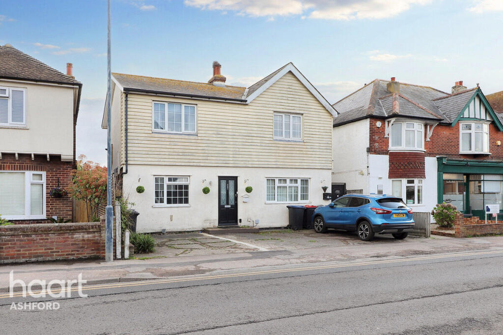
Tankerton Road, WHITSTABLE
By haart
£ 1,500
haart says ..
Charming 3-Bedroom Semi-Detached Home on Tankerton Road – Just a Short Stroll from the Beach
- Bedrooms
- 3
- Bathrooms
- 2
The heatmap indicates the level of crime in the area. The color of the heatmap indicates the crime severity and recency.
Metrics Year-on-Year
- Average area value
- 975,000.00 £Increased by 29.96 %
- Average area rental value
- 1,098.00 £/moDecreased by 33.70 %
- Est rental Yield
- 1.35 %Decreased by 49.06 %
- Crime Rate
- 15.00 %Unchanged by 0.00 %
from 750,202.00 £
from 1,656.00 £/mo
from 2.65 %
from 15.00 %
Agent Activity
haart created the listing.
Nearby Schools
| Name | Type | Ofsted | Distance |
|---|---|---|---|
| Swalecliffe Community Primary School | Foundation School | Good | 0.84 KM |
| Swalecliffe Children'S Centre | Children's Centre Linked Site | 0.86 KM | |
| St Mary'S Catholic Primary School, Whitstable | Academy Converter | Good | 1.48 KM |
| The Whitstable School | Academy Converter | 2.03 KM | |
| Westmeads Community Infant School | Community School | Outstanding | 2.45 KM |
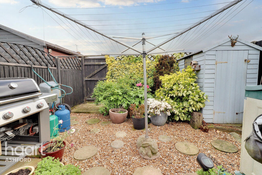
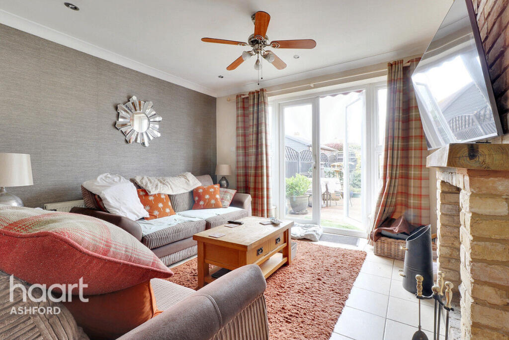
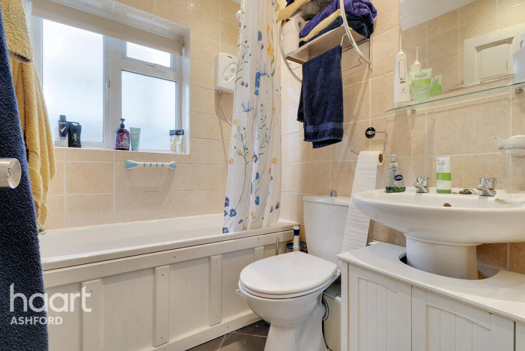
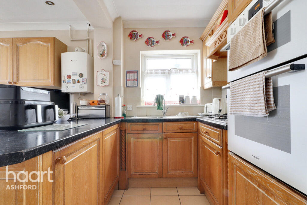
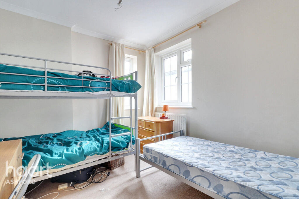
Images


Nearby Streets
| Name | Average Price | Average Sqft | Distance |
|---|---|---|---|
| Newton Road | £ 499,950 | 0 | 0.00 KM |
| Palace Close | £ 0 | 0 | 0.00 KM |
| Harvey Drive | £ 450,000 | 0 | 0.00 KM |
| Nursery Close | £ 0 | 0 | 0.00 KM |
| Darnel Avenue | £ 0 | 0 | 0.00 KM |
Nearby Transport
| Name | NLC | TLC | Distance |
|---|---|---|---|
| Chestfield And Swalecliffe | 5200 | CSW | 1.76 KM |
| Whitstable | 5196 | WHI | 2.12 KM |
| Herne Bay | 5174 | HNB | 7.33 KM |
| Canterbury West | 5007 | CBW | 9.23 KM |
Nearby Listings
| Address | Price | Type | Score | Distance |
|---|---|---|---|---|
| Tankerton Road, WHITSTABLE | £ 1,500 | RENT | Unknown | 0.00 KM |
| Tankerton Road, Whitstable | £ 1,250 | RENT | Unknown | 0.02 KM |
| Pier Avenue, Tankerton, Whitstable | £ 1,100 | RENT | Unknown | 0.17 KM |
| Wynn Road, Tankerton, Whitstable | £ 1,000 | RENT | Unknown | 0.33 KM |
| Wynn Road, Whitstable, Kent, CT5 | £ 1,250 | RENT | Unknown | 0.35 KM |
Nearby Properties
| Address | Price | Distance |
|---|---|---|
| 238 Tankerton Road | £ 320,000 | 0.04 KM |
| 233 Tankerton Road | £ 500,000 | 0.04 KM |
| 226 Tankerton Road | £ 400,000 | 0.04 KM |
| 246c Tankerton Road | £ 412,500 | 0.04 KM |
| 229b Tankerton Road | £ 235,000 | 0.04 KM |