
The Forge, Driffield
By Ullyotts
£ 195,000
Ullyotts says ..
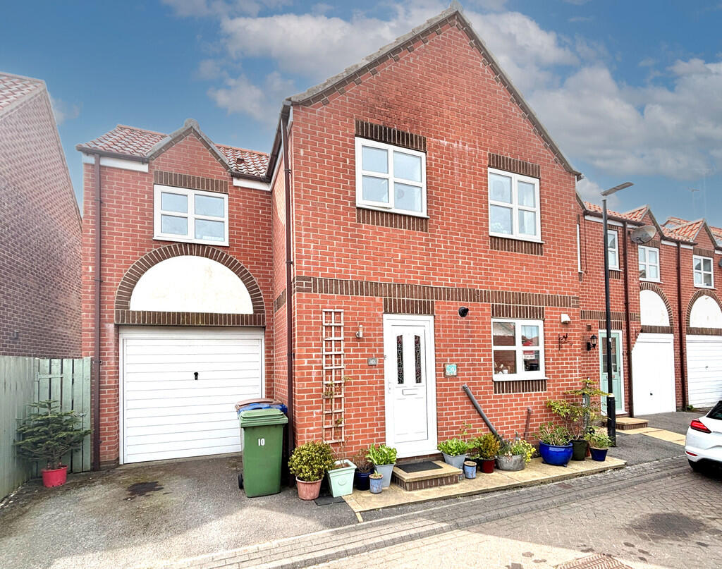
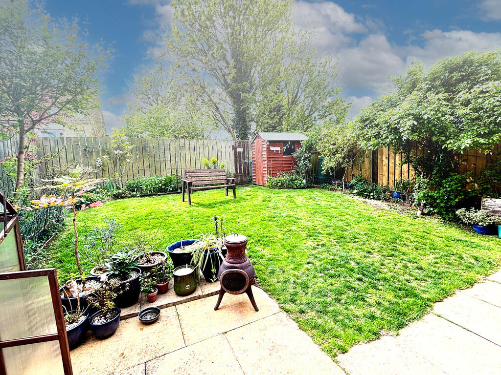
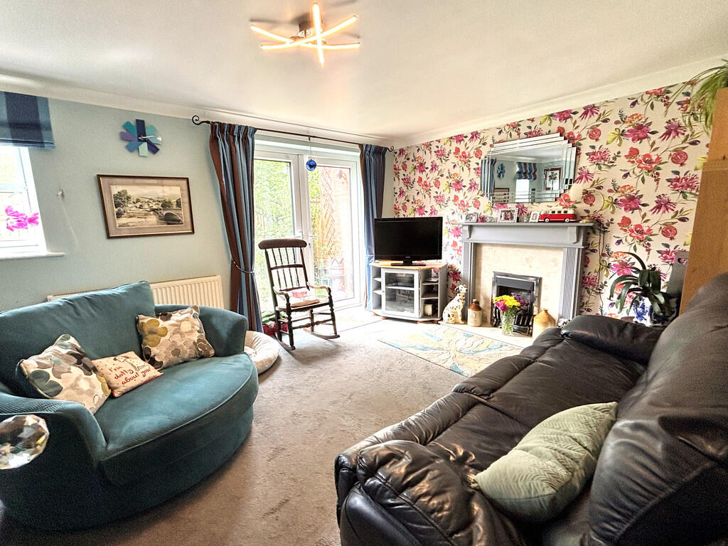
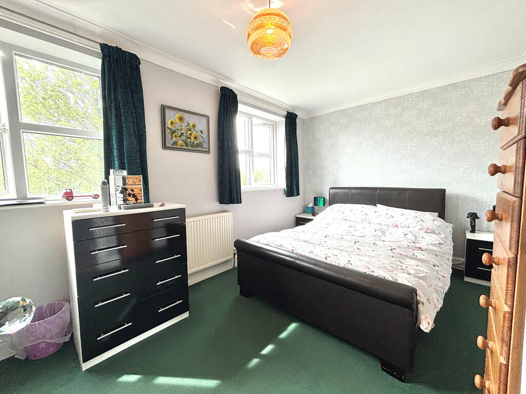
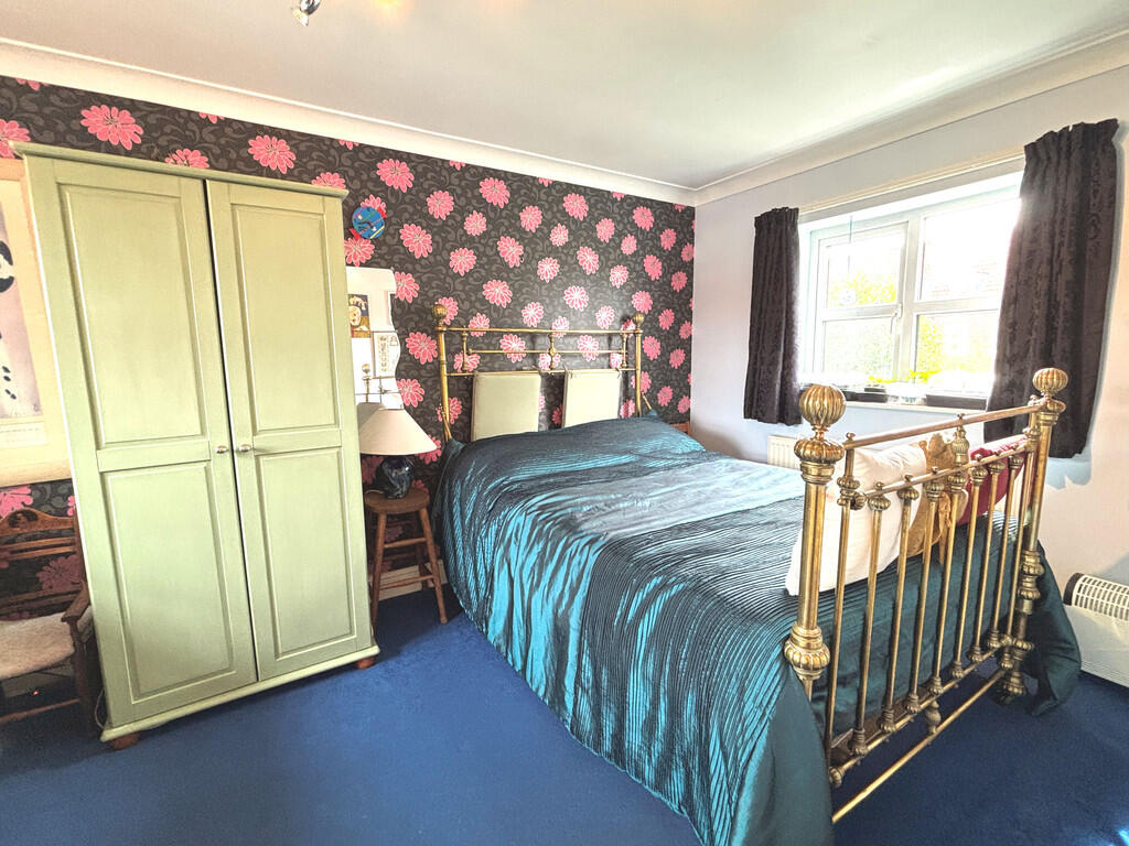
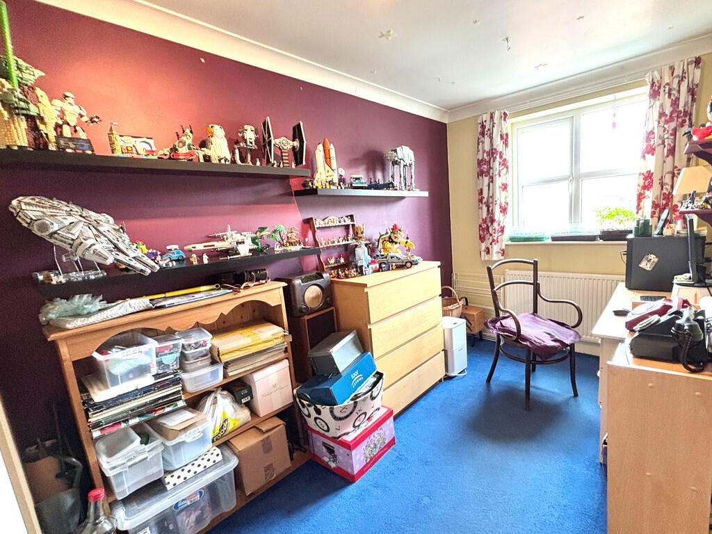
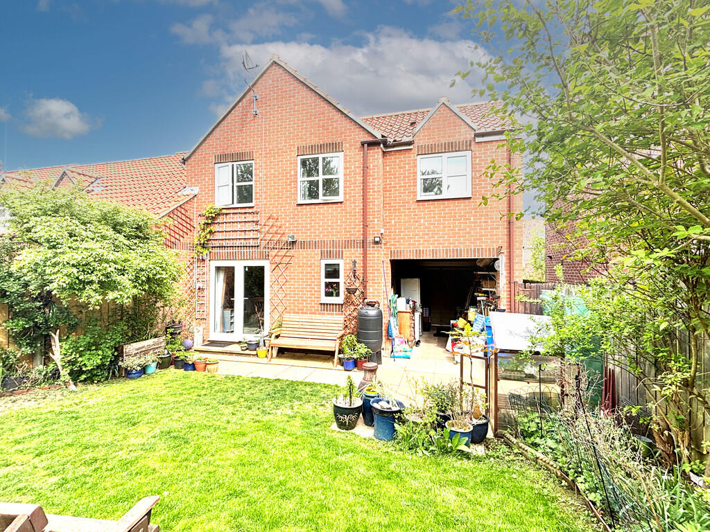
A property which is located literally within metres of the town centre thoroughfare, complete with garage and offering three good-sized bedrooms together with enclosed garden at the rear.
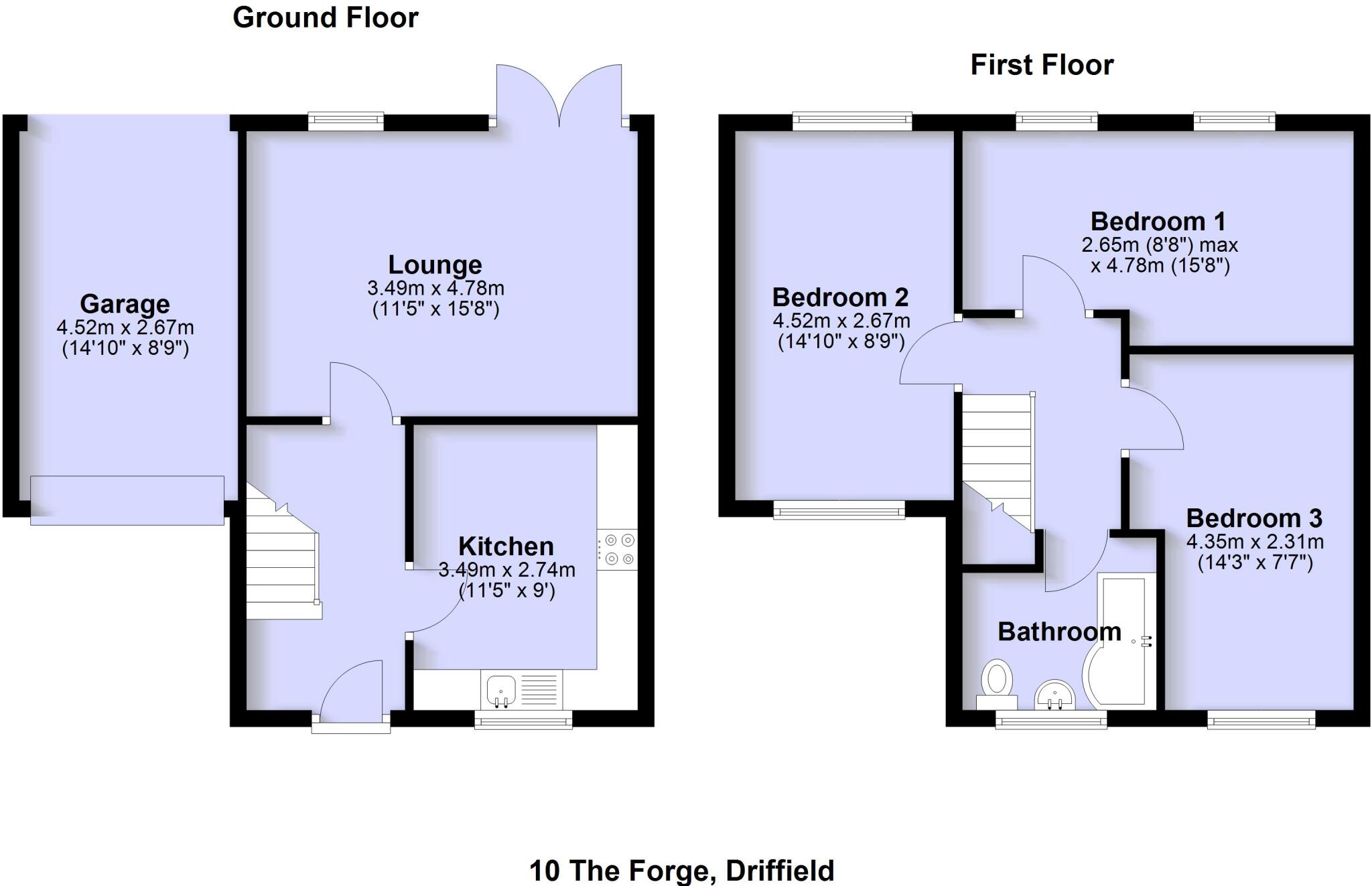
- Bedrooms
- 3
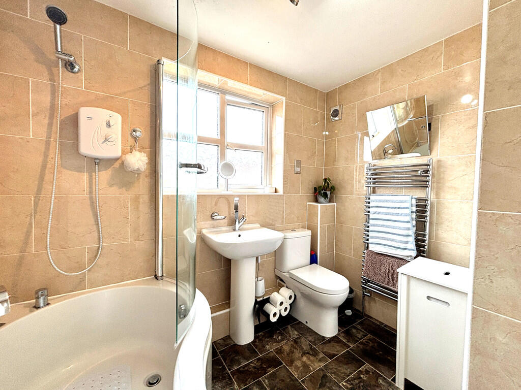
- Bathrooms
- 1
The heatmap indicates the level of crime in the area. The color of the heatmap indicates the crime severity and recency.
Metrics Year-on-Year
- Average area value
- 242,920.00 £Increased by 2.00 %
- Average area rental value
- 670.00 £/moDecreased by 14.65 %
- Est rental Yield
- 3.31 %Decreased by 16.41 %
- Crime Rate
- 38.00 %Unchanged by 0.00 %
from 238,162.00 £
from 785.00 £/mo
from 3.96 %
from 38.00 %
Agent Activity
Ullyotts created the listing.
Nearby Schools
| Name | Type | Ofsted | Distance |
|---|---|---|---|
| Sure Start Children'S Centre Driffield | Children's Centre | 0.32 KM | |
| Driffield Church Of England Voluntary Controlled Infant School | Voluntary Controlled School | Good | 0.39 KM |
| Driffield Junior School | Community School | Good | 0.69 KM |
| Kings Mill School | Community Special School | Good | 1.07 KM |
| Northfield Infant School | Community School | Good | 1.33 KM |
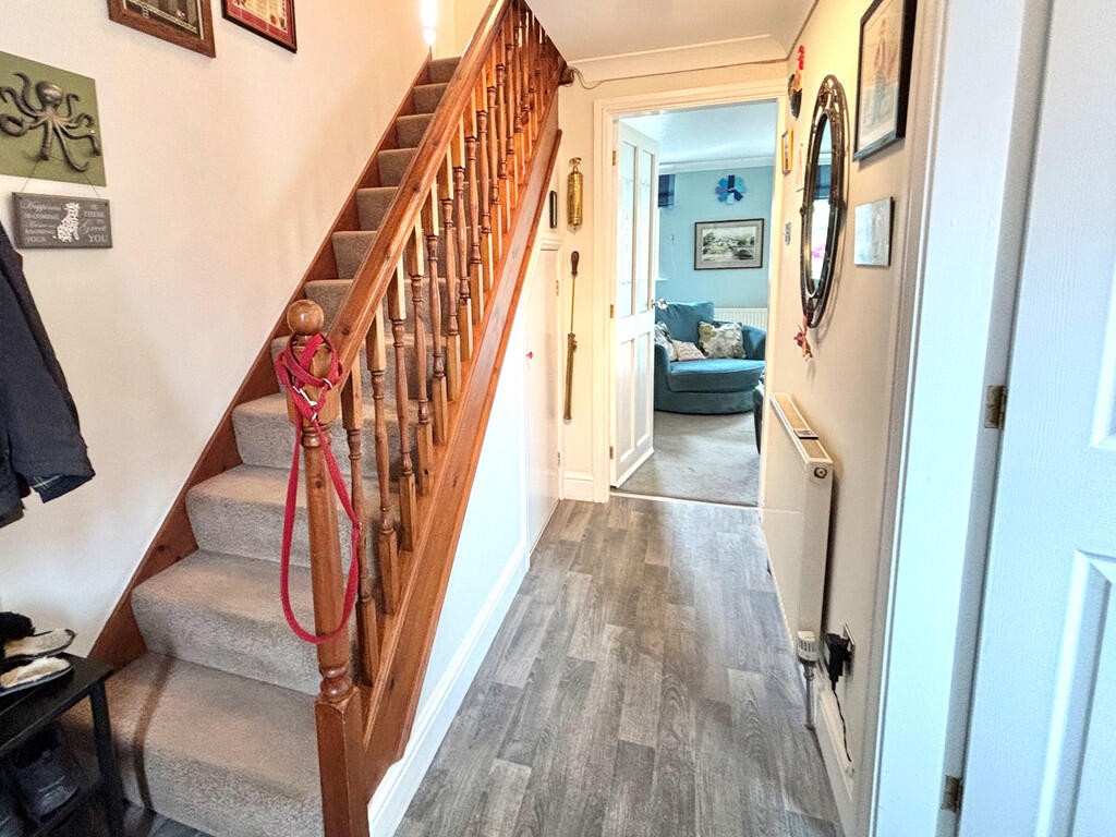
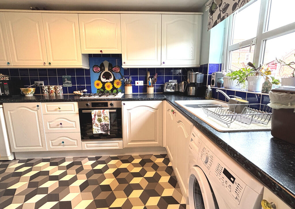
Images
Nearby Streets
| Name | Average Price | Average Sqft | Distance |
|---|---|---|---|
| Bentley Close | £ 185,000 | 0 | 0.00 KM |
| Bridge Lane | £ 252,500 | 0 | 0.00 KM |
| Dunns lane | £ 0 | 0 | 0.00 KM |
| Chestnut Avenue | £ 325,000 | 0 | 0.00 KM |
| Anderson Street | £ 0 | 0 | 0.00 KM |
Nearby Transport
| Name | NLC | TLC | Distance |
|---|---|---|---|
| Driffield | 8057 | DRF | 0.15 KM |
| Hutton Cranswick | 8099 | HUT | 5.08 KM |
| Nafferton | 8107 | NFN | 5.63 KM |
Nearby Listings
| Address | Price | Type | Score | Distance |
|---|---|---|---|---|
| The Forge, Driffield | £ 195,000 | BUY | Unknown | 0.00 KM |
| Middle Street South, Driffield | £ 119,950 | BUY | 5 / 10 | 0.05 KM |
| Cricketers Court, Lockwood Street, Driffield, YO25 6AB | £ 95,000 | BUY | Unknown | 0.14 KM |
| Wood Green, Driffield | £ 155,000 | BUY | 5 / 10 | 0.14 KM |
| Lockwood Street, Driffield, East Riding of Yorkshire, YO25 | £ 390,000 | BUY | 7 / 10 | 0.16 KM |
Nearby Properties
| Address | Price | Distance |
|---|---|---|
| 5 The Forge | £ 124,995 | 0.00 KM |
| 4 The Forge | £ 118,750 | 0.00 KM |
| 11 The Forge | £ 150,000 | 0.00 KM |
| 15 The Forge | £ 142,000 | 0.02 KM |
| 8 The Forge | £ 105,000 | 0.02 KM |