HO
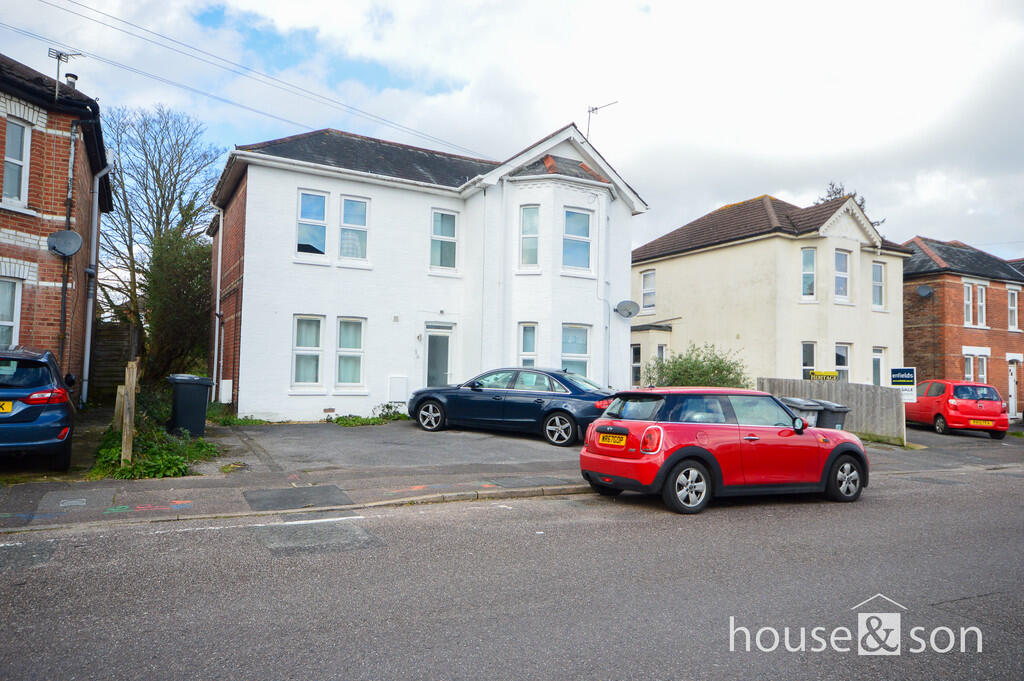
Woodend Road, Bournemouth
By House & Son
£ 200,000
House & Son says ..
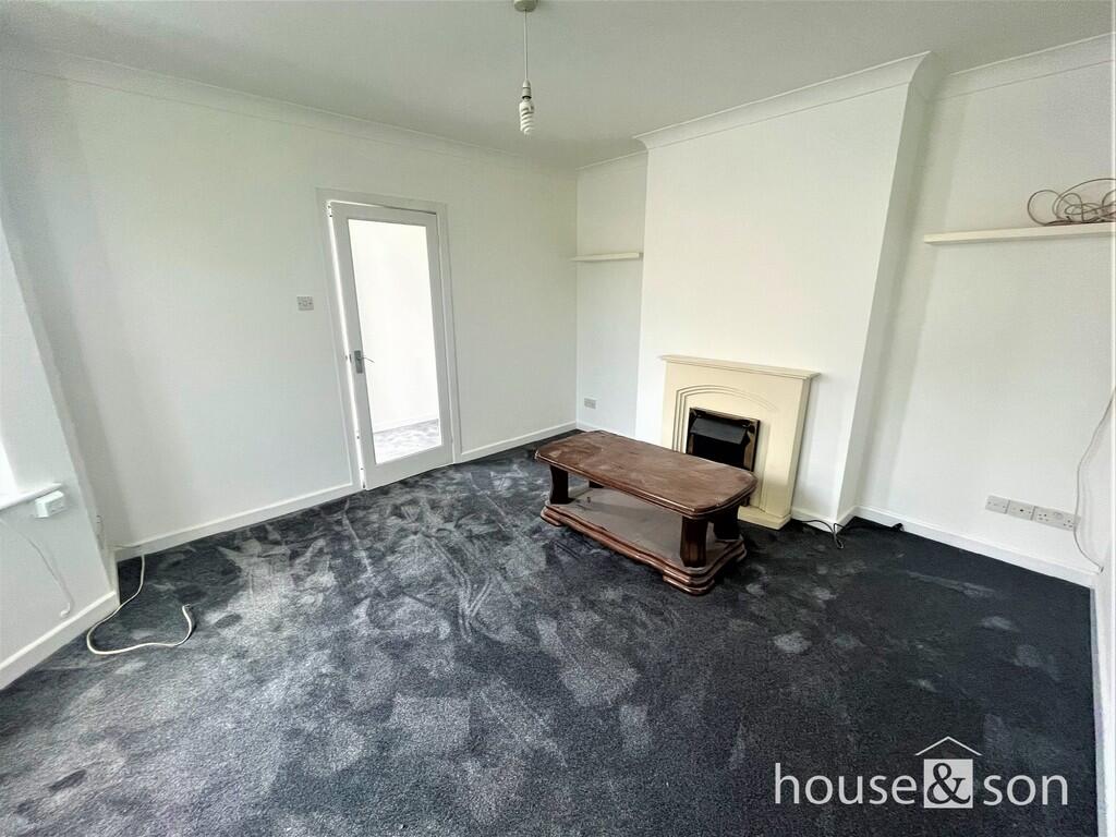
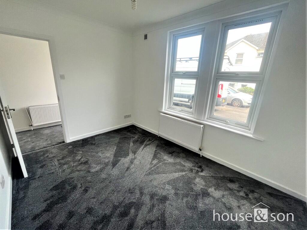
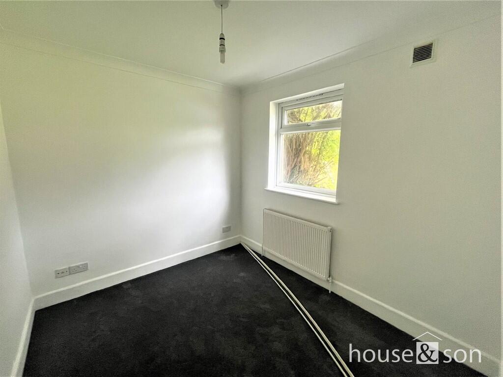
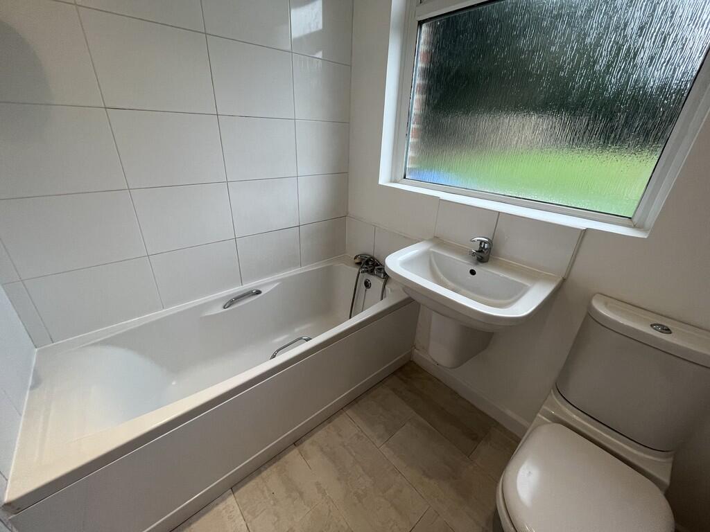
Property located in Woodend Road, Bournemouth
- Bedrooms
- 2
- Bathrooms
- 1
The heatmap indicates the level of crime in the area. The color of the heatmap indicates the crime severity and recency.
Metrics Year-on-Year
- Average area value
- 319,375.00 £Decreased by 5.77 %
- Average area rental value
- 1,253.00 £/moIncreased by 0.56 %
- Est rental Yield
- 4.71 %Increased by 6.80 %
- Crime Rate
- 15.00 %Unchanged by 0.00 %
from 338,929.00 £
from 1,246.00 £/mo
from 4.41 %
from 15.00 %
Agent Activity
House & Son marked this listing as sold.
House & Son created the listing.
Nearby Schools
| Name | Type | Ofsted | Distance |
|---|---|---|---|
| Talbot House School | Other Independent School | 0.53 KM | |
| St Luke'S Church Of England Primary School | Academy Converter | Good | 0.88 KM |
| Stokewood And Winton Children'S Centre | Children's Centre | 0.92 KM | |
| St Martin'S School | Other Independent School | 0.92 KM | |
| Moordown St John'S Church Of England Primary School | Academy Converter | Good | 0.94 KM |
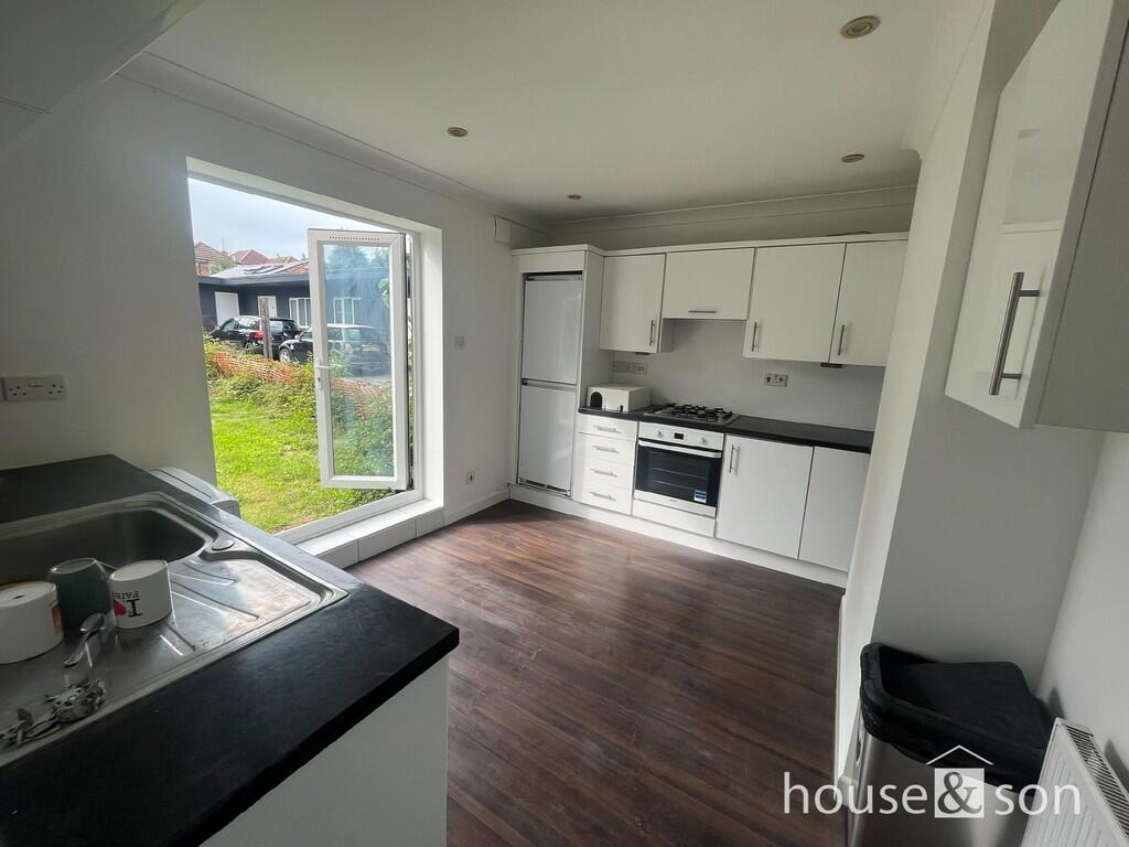
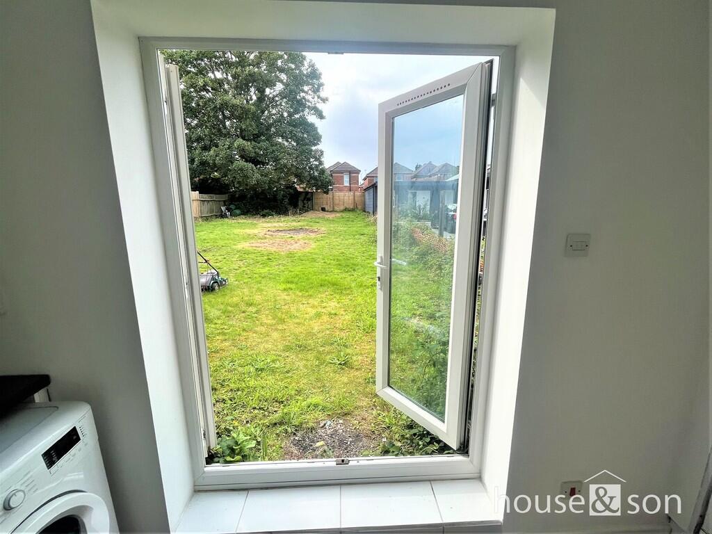
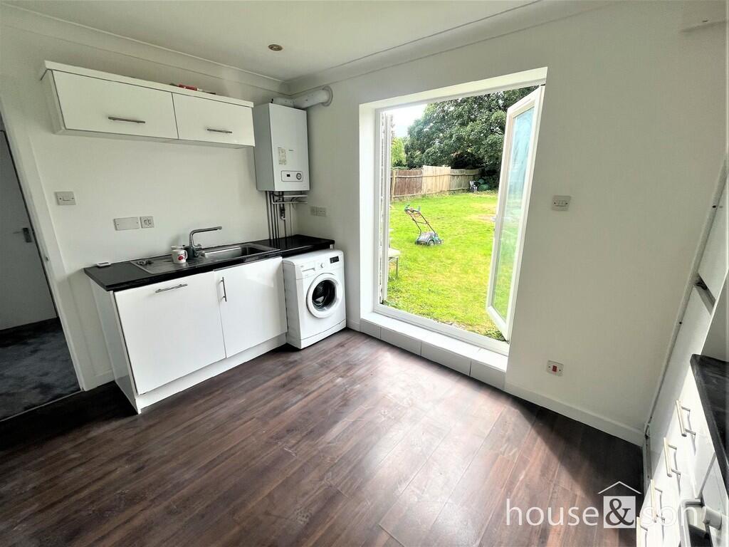
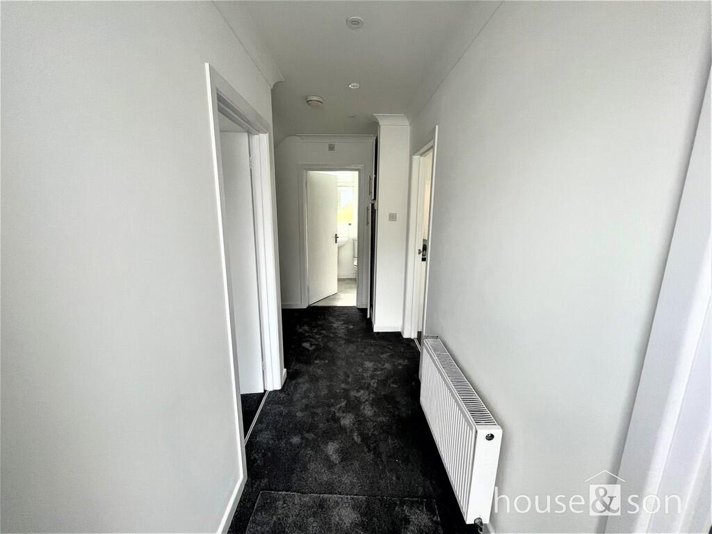
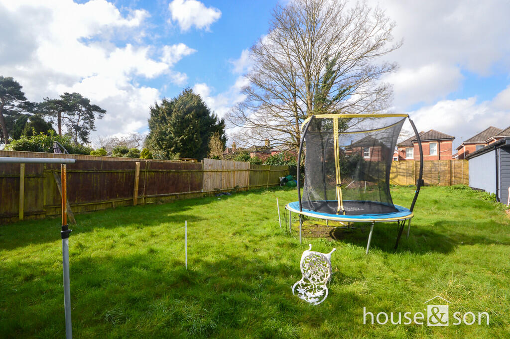
Images


Nearby Streets
| Name | Average Price | Average Sqft | Distance |
|---|---|---|---|
| Talbot Road | £ 200,000 | 0 | 0.00 KM |
| Alexander Gardens | £ 0 | 0 | 0.00 KM |
| Brassey Terrace | £ 0 | 0 | 0.00 KM |
| Talbot Avenue | £ 0 | 0 | 0.00 KM |
| Moorfield Grove | £ 0 | 0 | 0.00 KM |
Nearby Transport
| Name | NLC | TLC | Distance |
|---|---|---|---|
| Bournemouth | 5876 | BMH | 2.44 KM |
| Branksome | 5875 | BSM | 4.56 KM |
| Pokesdown | 5885 | POK | 6.31 KM |
| Parkstone (Dorset) | 5882 | PKS | 7.66 KM |
Nearby Listings
| Address | Price | Type | Score | Distance |
|---|---|---|---|---|
| 24 Woodend Road, Bournemouth | £ 225,000 | BUY | 6 / 10 | 0.00 KM |
| Woodend Road, Bournemouth | £ 200,000 | BUY | Unknown | 0.00 KM |
| Osborne Road, Bournemouth, BH9 | £ 450,000 | BUY | 6 / 10 | 0.06 KM |
| Osborne Road, Bournemouth | £ 200,000 | BUY | 6 / 10 | 0.07 KM |
| Leslie Road, Bournemouth | £ 400,000 | BUY | 7 / 10 | 0.09 KM |
Nearby Properties
| Address | Price | Distance |
|---|---|---|
| 4 Woodend Road | £ 470,000 | 0.01 KM |
| 16b Woodend Road | £ 225,000 | 0.01 KM |
| 18 Woodend Road | £ 231,000 | 0.01 KM |
| 1 Woodend Road | £ 373,000 | 0.01 KM |
| 30 Woodend Road | £ 133,000 | 0.01 KM |