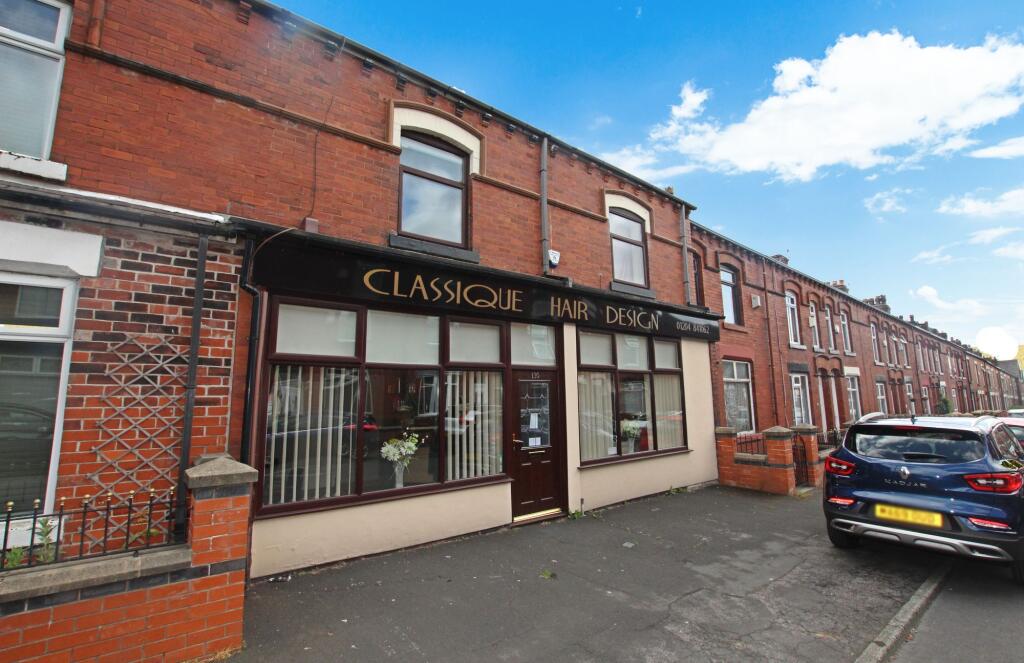
PR
Queensgate, Bolton, BL1
By Price and Co
£ 625
Price and Co says ..
A MUST VIEW!
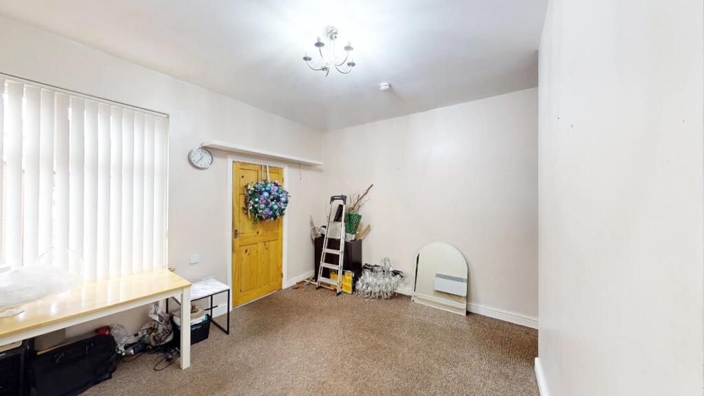
- Bedrooms
- 2
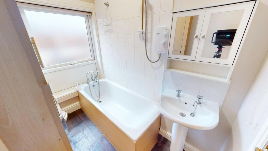
- Bathrooms
- 1
The heatmap indicates the level of crime in the area. The color of the heatmap indicates the crime severity and recency.
Metrics Year-on-Year
- Average area value
- 550,000.00 £Increased by 32.27 %
- Average area rental value
- 1,864.00 £/moIncreased by 17.16 %
- Est rental Yield
- 4.07 %Decreased by 11.33 %
- Crime Rate
- 0.00 %
from 415,822.00 £
from 1,591.00 £/mo
from 4.59 %
from 0.00 %
Agent Activity
Price and Co created the listing.
Nearby Schools
| Name | Type | Ofsted | Distance |
|---|---|---|---|
| Bolton School Girls' Division | Other Independent School | 0.42 KM | |
| Thomasson Memorial School | Community Special School | Good | 0.56 KM |
| Devonshire Road Primary School | Community School | Good | 0.58 KM |
| Bolton School Boys' Division | Other Independent School | 0.59 KM | |
| Oxford Grove Start Well Children'S Centre | Children's Centre | 0.80 KM |
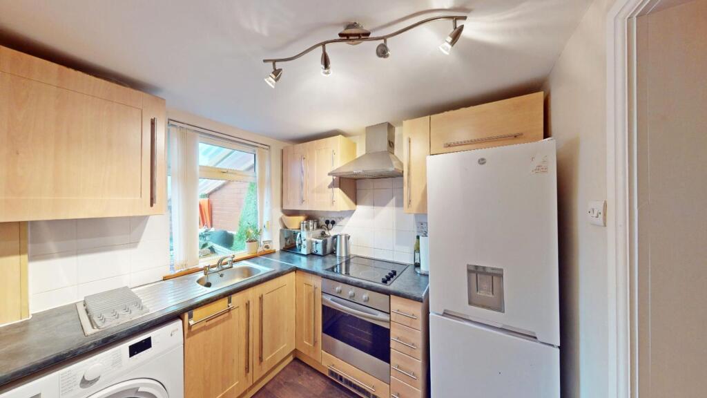
Images


Nearby Streets
| Name | Average Price | Average Sqft | Distance |
|---|---|---|---|
| Challinor Street | £ 0 | 0 | 0.00 KM |
| Kirkby Road | £ 130,000 | 0 | 0.00 KM |
| Back Bashall Street | £ 99,950 | 0 | 0.00 KM |
| Back Hartington Road | £ 0 | 0 | 0.00 KM |
| Reedham Close | £ 0 | 0 | 0.00 KM |
Nearby Transport
| Name | NLC | TLC | Distance |
|---|---|---|---|
| Bolton | 2599 | BON | 3.35 KM |
| Lostock | 2598 | LOT | 4.54 KM |
| Hall-I'-Th'-Wood | 2572 | HID | 4.84 KM |
| Bromley Cross (Lancs) | 2697 | BMC | 5.90 KM |
| Atherton | 2584 | ATN | 6.63 KM |
Nearby Listings
| Address | Price | Type | Score | Distance |
|---|---|---|---|---|
| Queensgate, Bolton, BL1 | £ 625 | RENT | Unknown | 0.00 KM |
| Beverley Road, Heaton, Bolton | £ 950 | RENT | Unknown | 0.03 KM |
| Queensgate, Bolton, BL1 | £ 900 | RENT | Unknown | 0.04 KM |
| Queensgate, Bolton, Greater Manchester, BL1 | £ 775 | RENT | Unknown | 0.04 KM |
| Musgrave Road, Heaton, Bolton | £ 850 | RENT | Unknown | 0.05 KM |
Nearby Properties
| Address | Price | Distance |
|---|---|---|
| 148 Beverley Road | £ 61,500 | 0.02 KM |
| 126 Beverley Road | £ 65,000 | 0.02 KM |
| 112 Beverley Road | £ 84,000 | 0.02 KM |
| 114 Beverley Road | £ 76,000 | 0.02 KM |
| 140 Beverley Road | £ 82,000 | 0.02 KM |