FL
Linton
By Flint & Cook
£ 500
Flint & Cook says ..
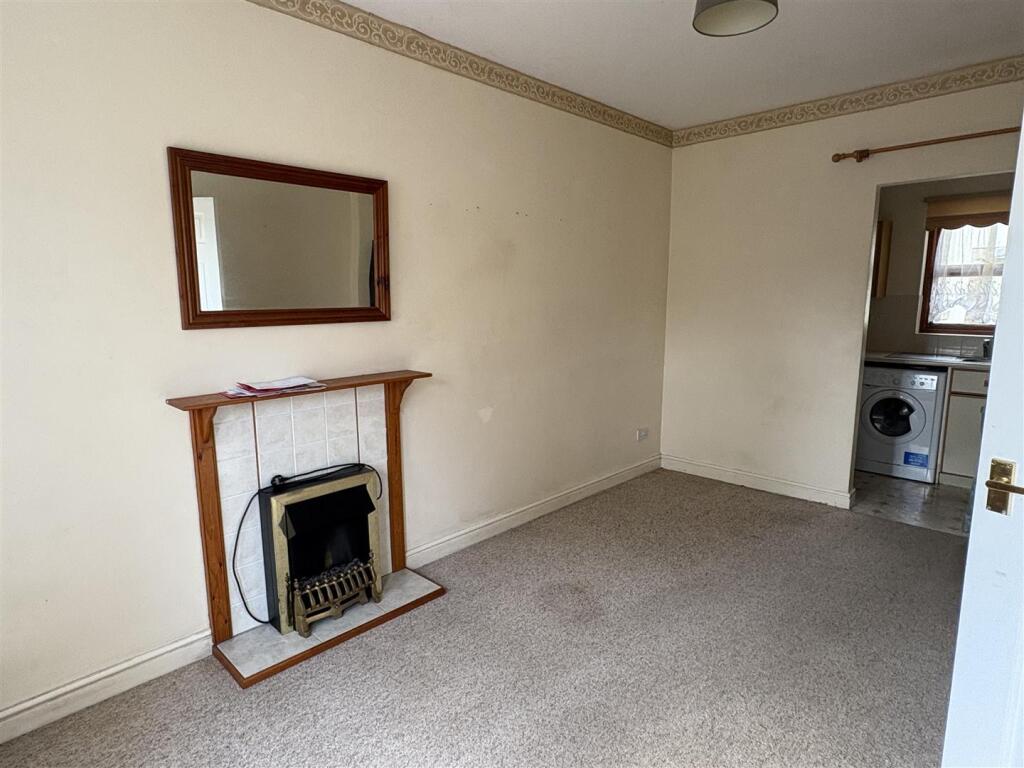
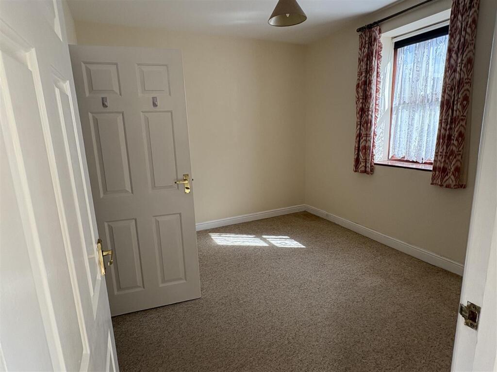
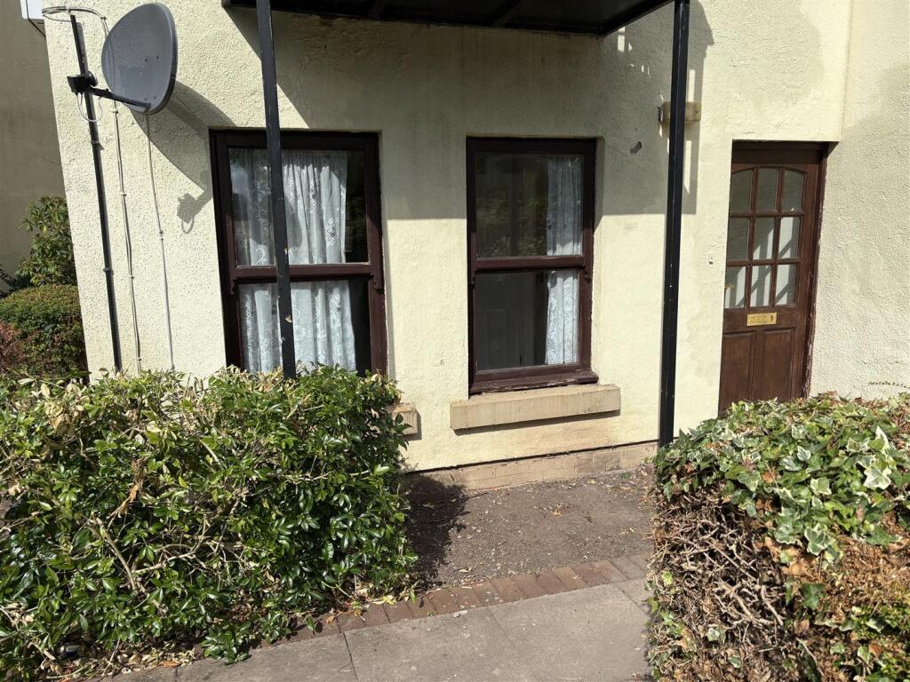
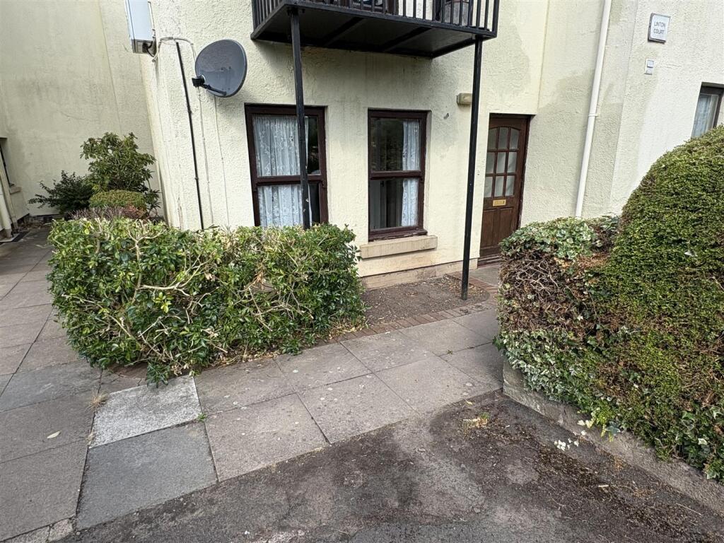
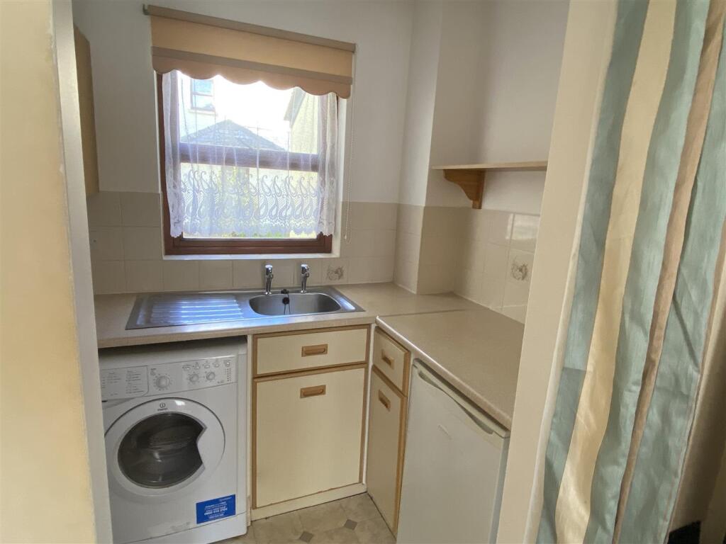
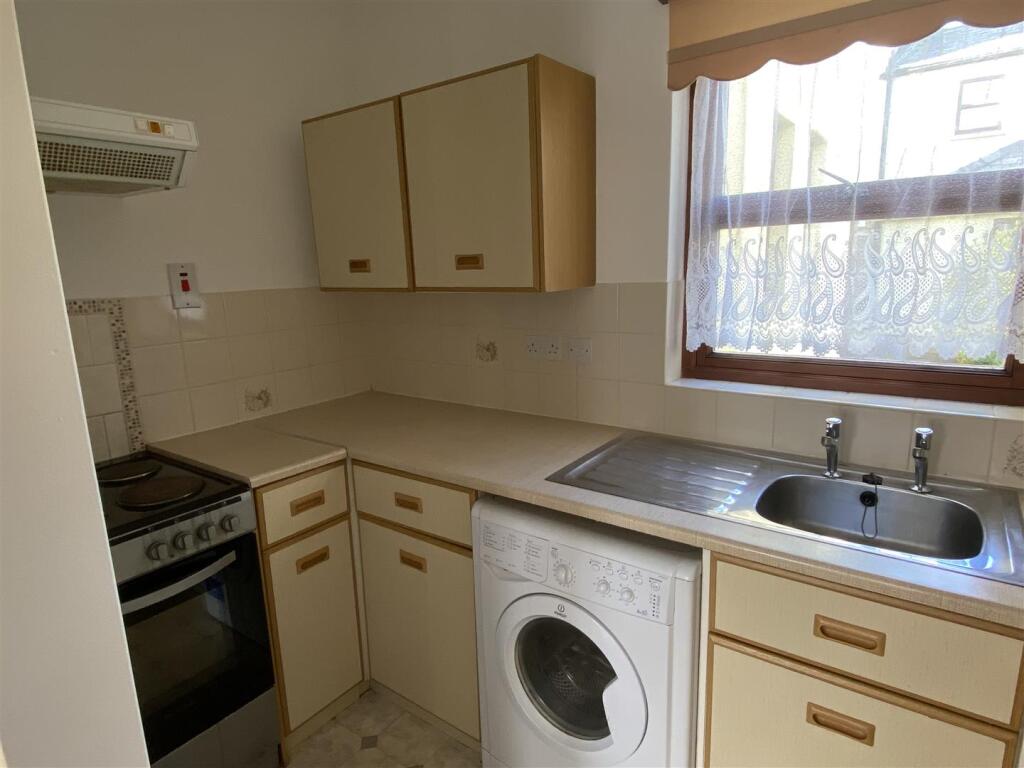
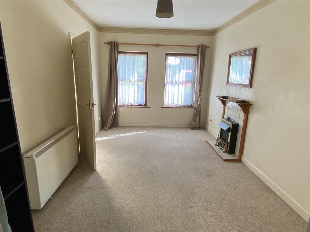
Ground floor, 1 bed apartment Rural location Council tax Band A Night storage heaters allocated parking space
- Bedrooms
- 1
- Bathrooms
- 1
The heatmap indicates the level of crime in the area. The color of the heatmap indicates the crime severity and recency.
Metrics Year-on-Year
- Average area value
- 760,714.00 £Increased by 149.76 %
- Average area rental value
- 545.00 £/moDecreased by 63.67 %
- Est rental Yield
- 0.86 %Decreased by 85.45 %
- Crime Rate
- 0.00 %
from 304,580.00 £
from 1,500.00 £/mo
from 5.91 %
from 0.00 %
Agent Activity
Flint & Cook created the listing.
Nearby Schools
| Name | Type | Ofsted | Distance |
|---|---|---|---|
| Brockhampton Primary School | Academy Converter | Good | 1.15 KM |
| Queen Elizabeth High School | Academy Converter | Good | 3.93 KM |
| St Peter'S Primary School | Foundation School | Good | 4.03 KM |
| H.O.P.E Children'S Centre, Bromyard | Children's Centre | 4.07 KM | |
| Rowden House School | Other Independent Special School | Good | 6.03 KM |
Images


Nearby Streets
| Name | Average Price | Average Sqft | Distance |
|---|---|---|---|
| Linton Court | £ 0 | 0 | 0.00 KM |
| Malvern Road | £ 0 | 0 | 0.00 KM |
| Clematis Cottages | £ 0 | 0 | 0.00 KM |
Nearby Listings
| Address | Price | Type | Score | Distance |
|---|---|---|---|---|
| Linton | £ 500 | RENT | Unknown | 0.00 KM |
| Worcester Road, Bromyard | £ 415 | RENT | Unknown | 0.04 KM |
Nearby Properties
| Address | Price | Distance |
|---|---|---|
| 3 Linton Villas | £ 335,000 | 0.11 KM |
| 5 Linton Villas | £ 152,000 | 0.11 KM |
| 1 Malvern Road | £ 195,000 | 0.98 KM |
| 4 Malvern Road | £ 192,500 | 0.98 KM |
| 2 Beech Tree Cottages | £ 330,000 | 1.40 KM |