DO
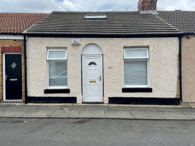
WESTBURY STREET, MILLFIELD, SUNDERLAND SOUTH, SR4
By Dowen
£ 595
Dowen says ..
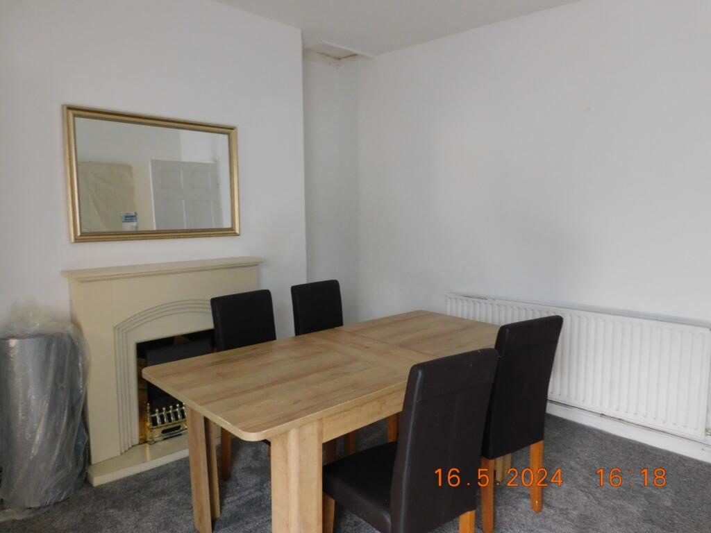
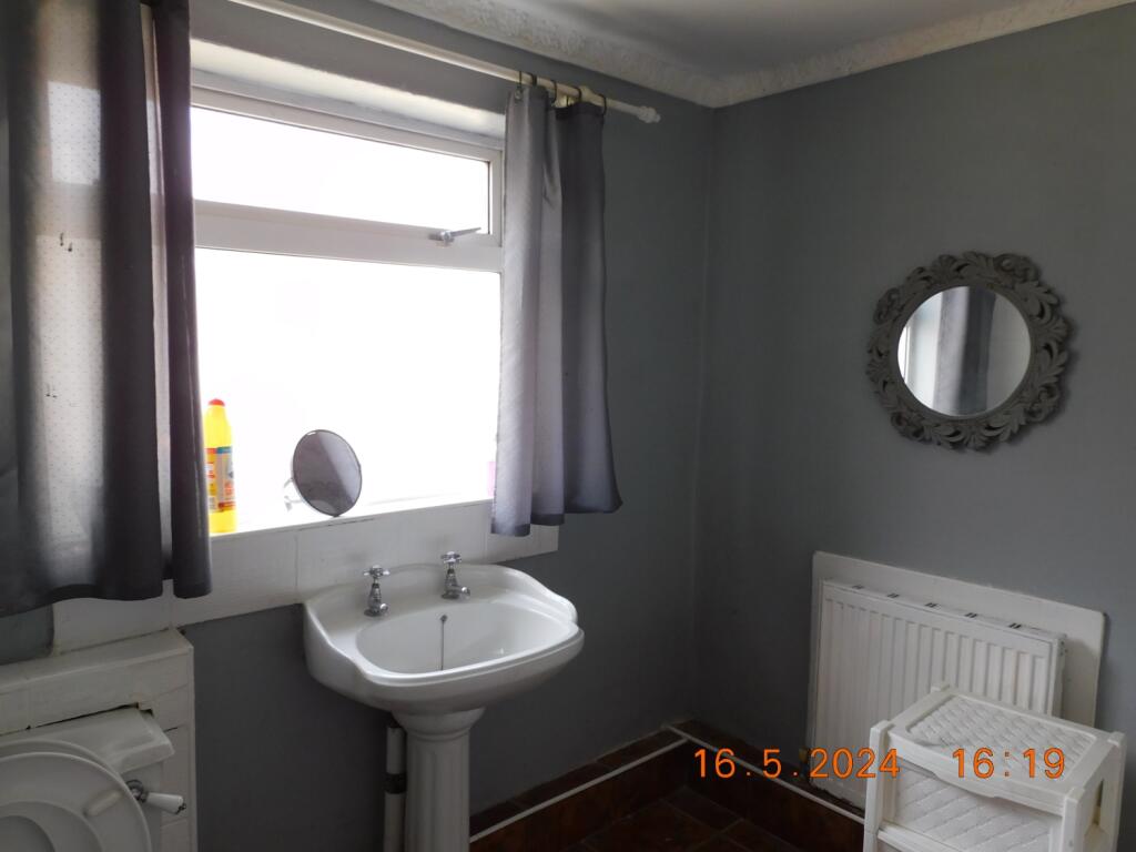
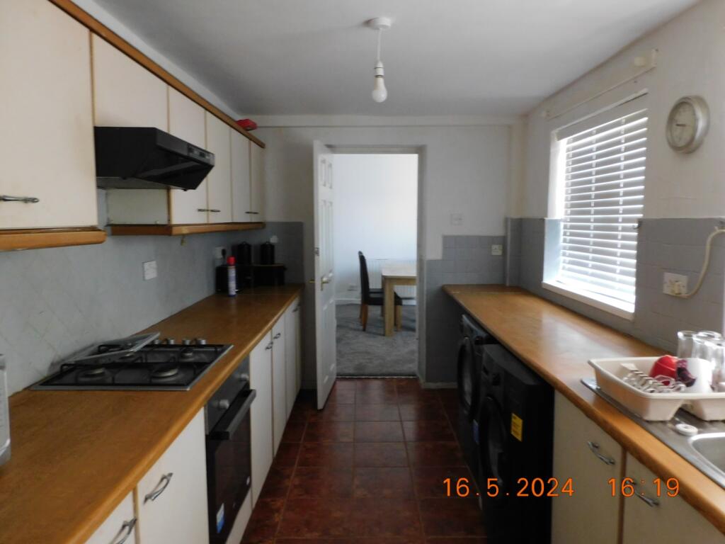
Two/three bedroom Cottage in Millfield, close to local amenities and transport links
- Bedrooms
- 2
- Bathrooms
- 1
The heatmap indicates the level of crime in the area. The color of the heatmap indicates the crime severity and recency.
Metrics Year-on-Year
- Average area value
- 127,421.00 £Decreased by 20.23 %
- Average area rental value
- 836.00 £/moIncreased by 23.67 %
- Est rental Yield
- 7.87 %Increased by 54.92 %
- Crime Rate
- 11.00 %Unchanged by 0.00 %
from 159,742.00 £
from 676.00 £/mo
from 5.08 %
from 11.00 %
Agent Activity
Dowen created the listing.
Nearby Schools
| Name | Type | Ofsted | Distance |
|---|---|---|---|
| Diamond Hall Junior Academy | Academy Converter | 1.01 KM | |
| University Of Sunderland | Higher Education Institutions | Good | 1.08 KM |
| Sunderland Children'S Centre Millfield | Children's Centre Linked Site | 1.10 KM | |
| Diamond Hall Infant Academy | Academy Converter | Good | 1.15 KM |
| St Anthony'S Girls' Catholic Academy | Academy Converter | Outstanding | 1.32 KM |
Images
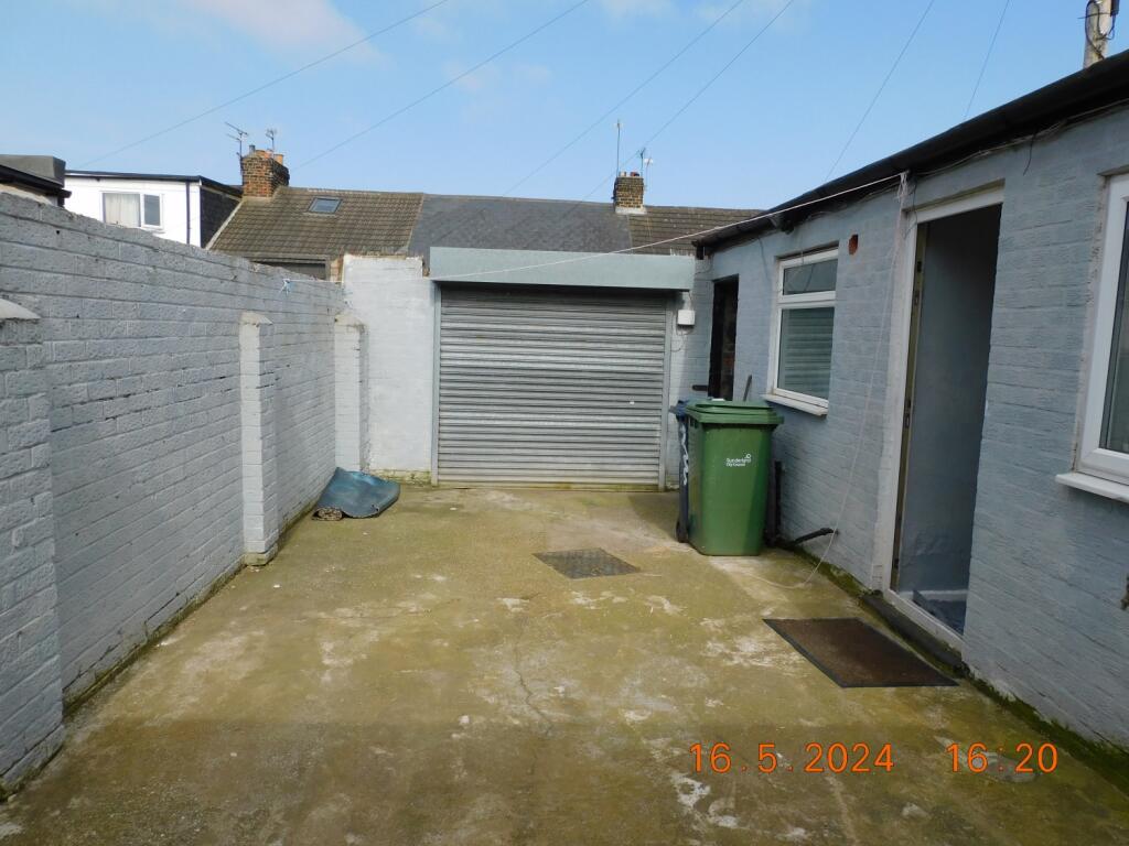
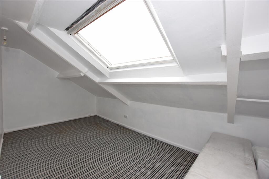
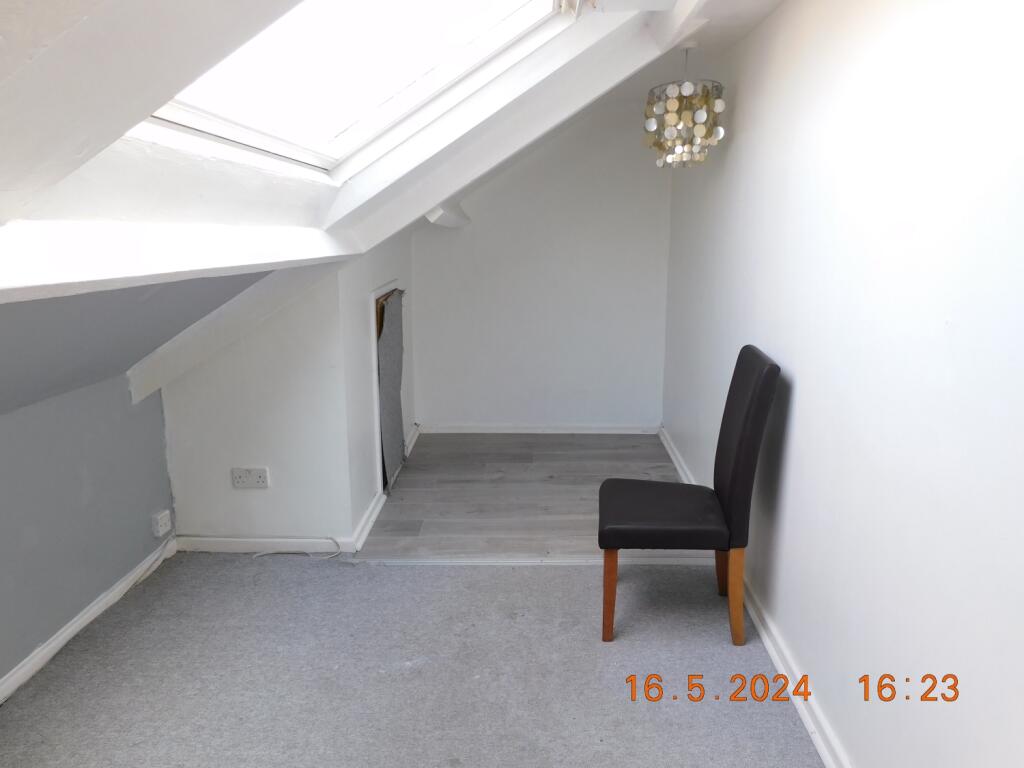
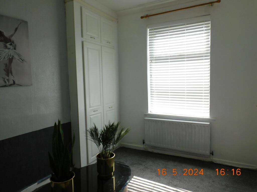
Nearby Streets
| Name | Average Price | Average Sqft | Distance |
|---|---|---|---|
| Albert Road | £ 0 | 0 | 0.00 KM |
| Holly Court | £ 0 | 0 | 0.00 KM |
| St Mark's Terrace | £ 0 | 0 | 0.00 KM |
| Back Lane | £ 50,000 | 0 | 0.00 KM |
| Clifford Street | £ 0 | 0 | 0.00 KM |
Nearby Transport
| Name | NLC | TLC | Distance |
|---|---|---|---|
| Sunderland | 7640 | SUN | 2.05 KM |
| Seaham | 7814 | SEA | 9.73 KM |
Nearby Listings
| Address | Price | Type | Score | Distance |
|---|---|---|---|---|
| Close Street, Sunderland, SR4 | £ 563 | RENT | Unknown | 0.07 KM |
| Grafton Street, Sunderland | £ 850 | RENT | Unknown | 0.07 KM |
| Westbury Street, Sunderland, SR4 | £ 725 | RENT | Unknown | 0.08 KM |
| Millburn Street, Millfield, Sunderland, Tyne and Wear, SR4 6AX | £ 750 | RENT | Unknown | 0.13 KM |
| Lime Street, Sunderland | £ 750 | RENT | Unknown | 0.15 KM |
Nearby Properties
| Address | Price | Distance |
|---|---|---|
| 41 Westbury Street | £ 80,000 | 0.03 KM |
| 39 Westbury Street | £ 78,000 | 0.03 KM |
| 11 Westbury Street | £ 78,500 | 0.03 KM |
| 9 Westbury Street | £ 58,000 | 0.03 KM |
| 15 Westbury Street | £ 85,000 | 0.03 KM |