
MJ
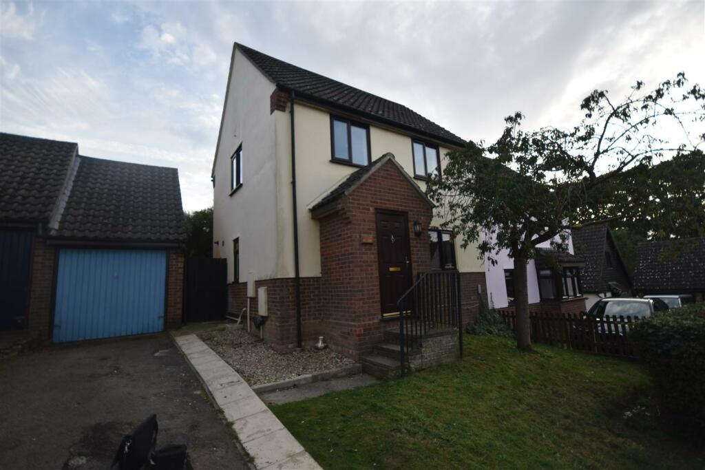
Hughes Stanton Way, Lawford Dale, Manningtree
By MJM Estates
£ 1,195
MJM Estates says ..
No summary available.
- Bedrooms
- 3
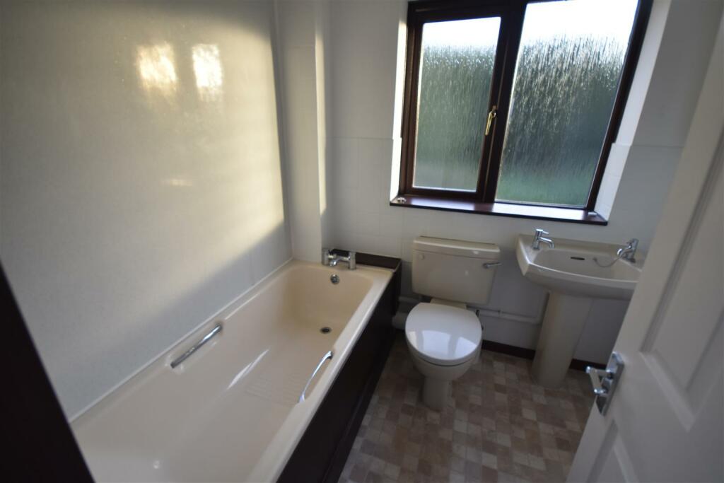
- Bathrooms
- 1
The heatmap indicates the level of crime in the area. The color of the heatmap indicates the crime severity and recency.
Metrics Year-on-Year
- Average area value
- 350,323.00 £Decreased by 1.18 %
- Average area rental value
- 1,334.00 £/moDecreased by 2.49 %
- Est rental Yield
- 4.57 %Decreased by 1.30 %
- Crime Rate
- 5.00 %Unchanged by 0.00 %
from 354,508.00 £
from 1,368.00 £/mo
from 4.63 %
from 5.00 %
Agent Activity
MJM Estates created the listing.
Nearby Schools
| Name | Type | Ofsted | Distance |
|---|---|---|---|
| Manningtree High School | Academy Converter | Good | 0.78 KM |
| Highfields Primary School | Community School | Outstanding | 0.82 KM |
| Lawford Church Of England Voluntary Aided Primary School | Voluntary Aided School | Outstanding | 0.91 KM |
| Brooklands Primary School | Academy Converter | 2.90 KM | |
| East Bergholt High School | Academy Converter | Good | 4.39 KM |
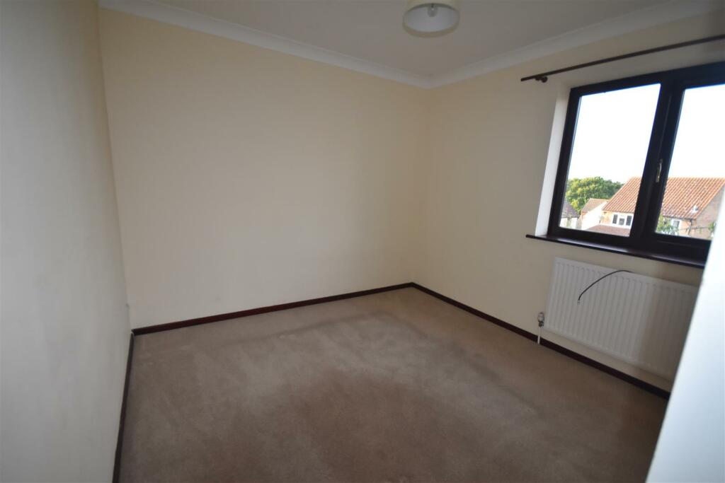
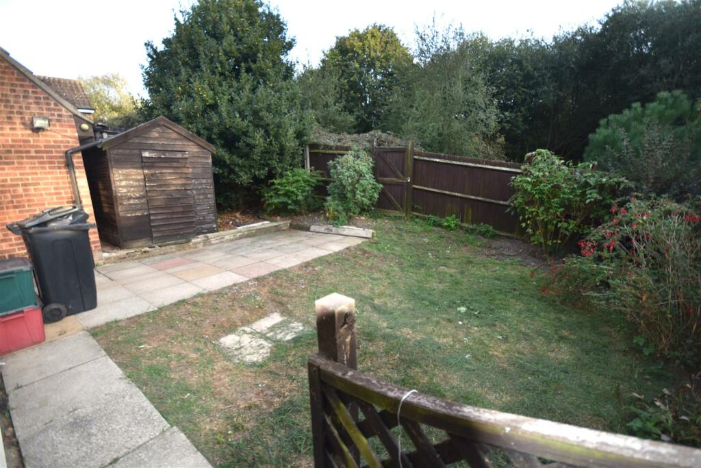
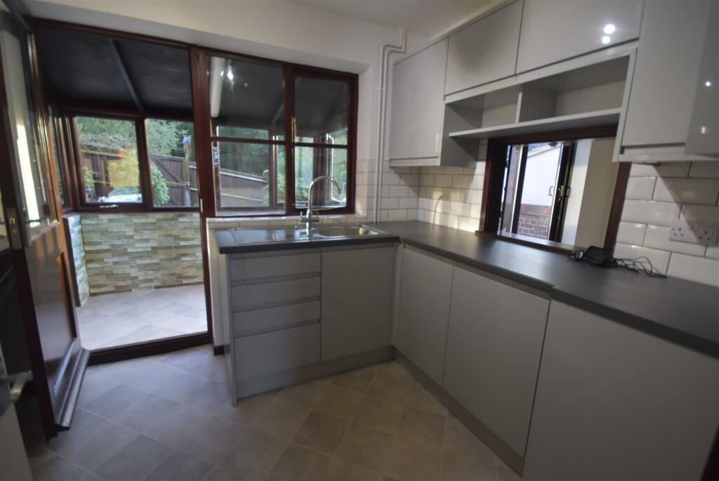
Images


Nearby Streets
| Name | Average Price | Average Sqft | Distance |
|---|---|---|---|
| Church View | £ 0 | 0 | 0.00 KM |
| Rose Fields | £ 0 | 0 | 0.00 KM |
| Rosefields | £ 411,667 | 0 | 0.00 KM |
| The Beeches | £ 625,000 | 0 | 0.00 KM |
| The Hollies | £ 475,000 | 0 | 0.00 KM |
Nearby Transport
| Name | NLC | TLC | Distance |
|---|---|---|---|
| Manningtree | 6856 | MNG | 0.53 KM |
| Mistley | 6906 | MIS | 3.68 KM |
Nearby Listings
| Address | Price | Type | Score | Distance |
|---|---|---|---|---|
| Cotman Avenue, Lawford Dale, Manningtree | £ 1,150 | RENT | Unknown | 0.14 KM |
| Cotman Avenue, Lawford | £ 1,350 | RENT | Unknown | 0.16 KM |
| Constable Close, Lawford, Manningtree, Essex, CO11 | £ 1,350 | RENT | Unknown | 0.17 KM |
| Fitzgerald Close, Lawford, Manningtree | £ 1,100 | RENT | Unknown | 0.22 KM |
| 42, Munnings Way, Manningtree, CO11 2LQ | £ 1,100 | RENT | Unknown | 0.33 KM |
Nearby Properties
| Address | Price | Distance |
|---|---|---|
| 3 Hughes Stanton Way | £ 222,500 | 0.01 KM |
| 24 Hughes Stanton Way | £ 260,000 | 0.01 KM |
| 17 Hughes Stanton Way | £ 165,000 | 0.01 KM |
| 27 Hughes Stanton Way | £ 130,000 | 0.01 KM |
| 28 Hughes Stanton Way | £ 120,000 | 0.01 KM |