SI
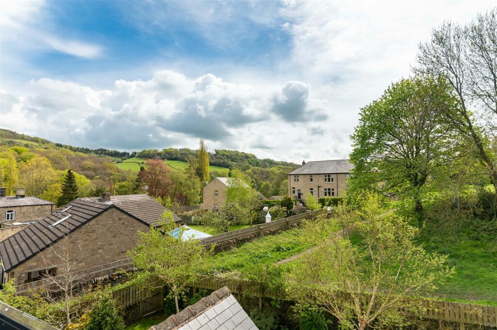
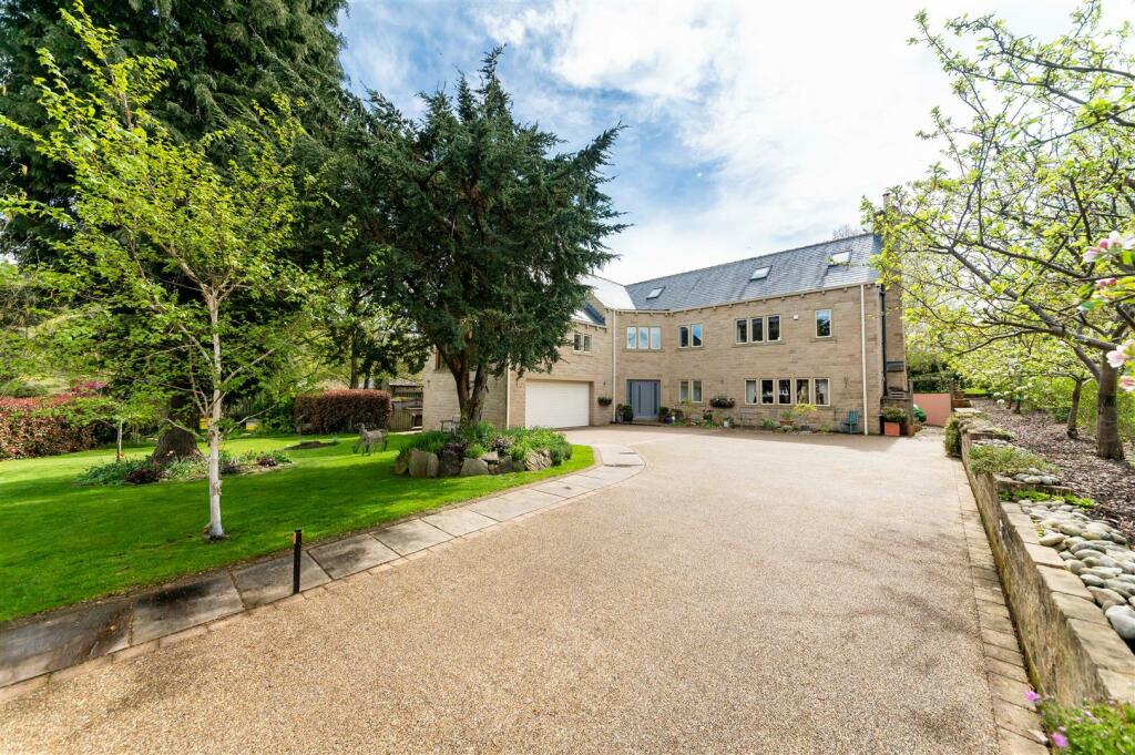
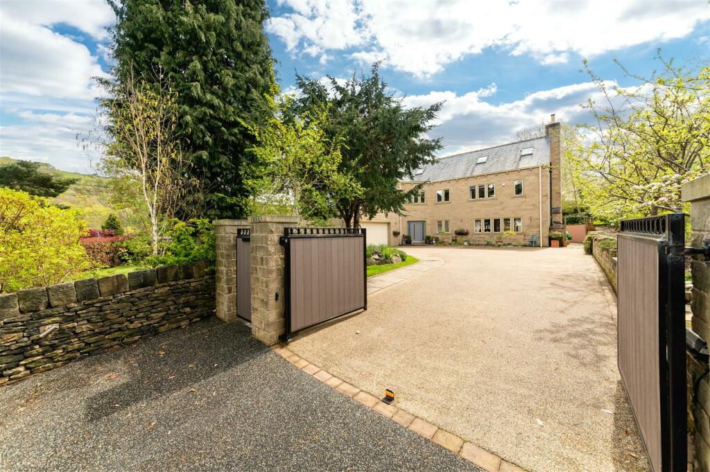
Talltrees, Stoney Bank Road, Holmfirth
By Simon Blyth
£ 1,350,000
Simon Blyth says ..
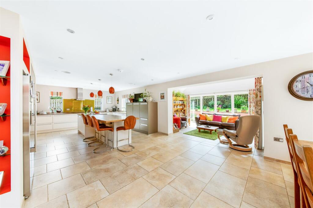
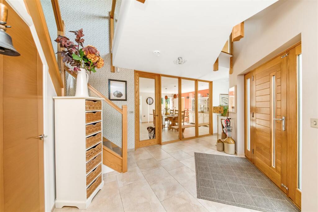
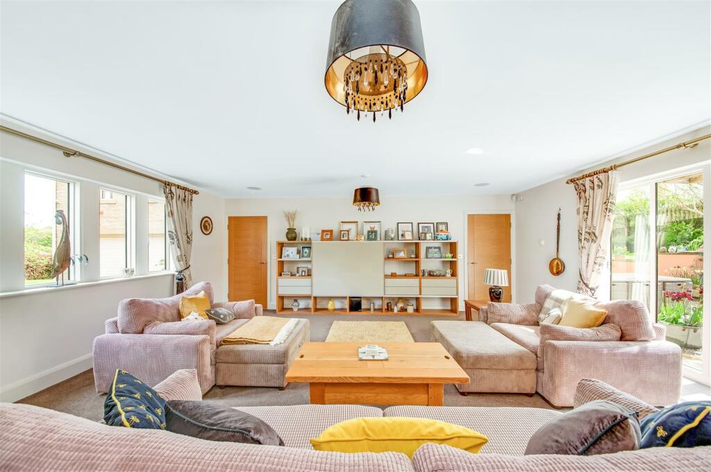
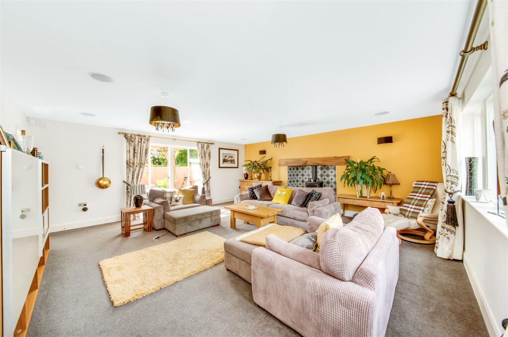
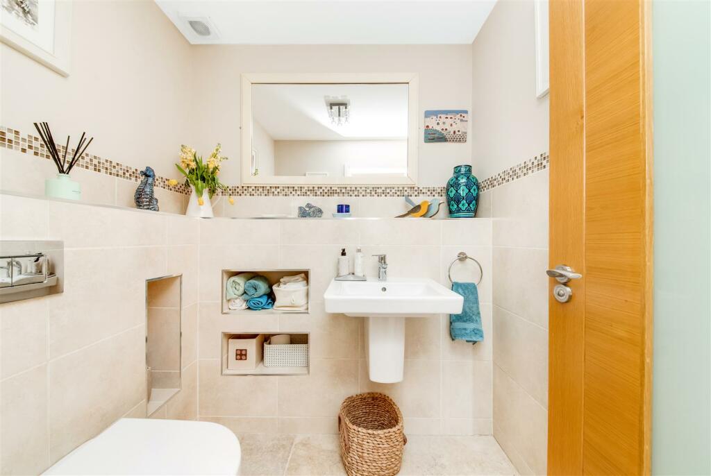
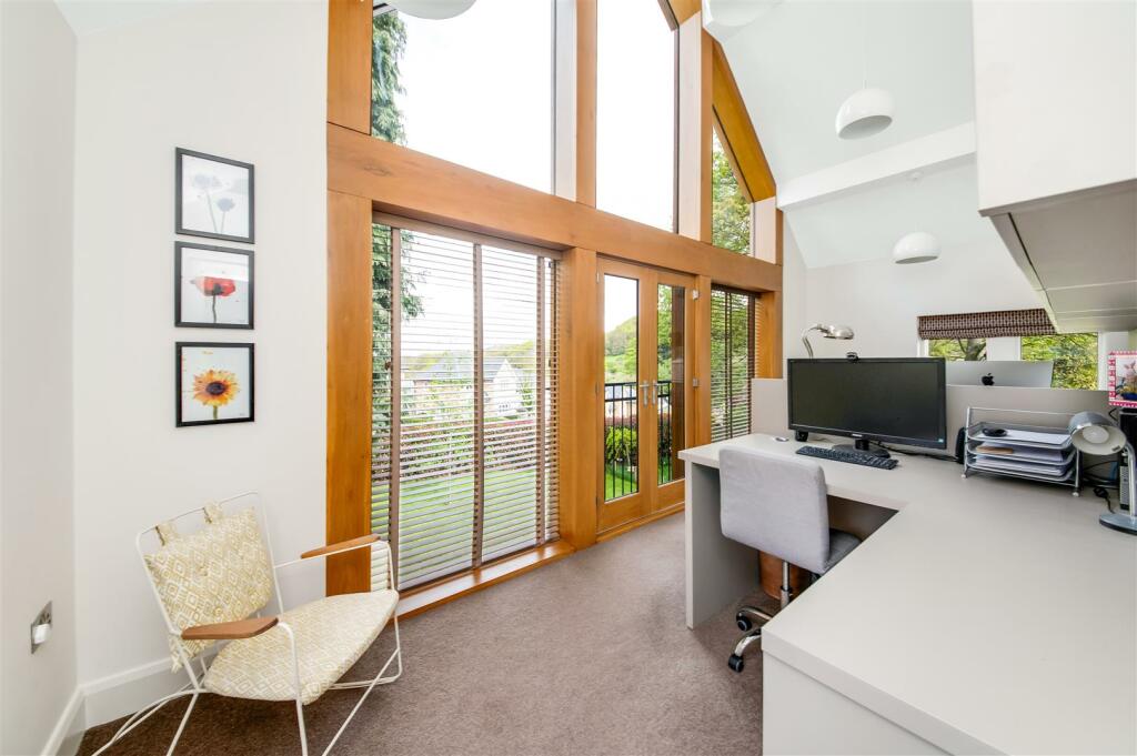
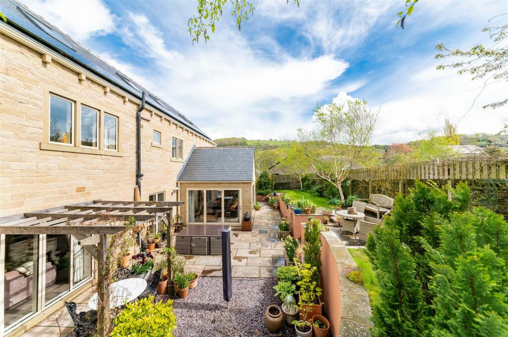
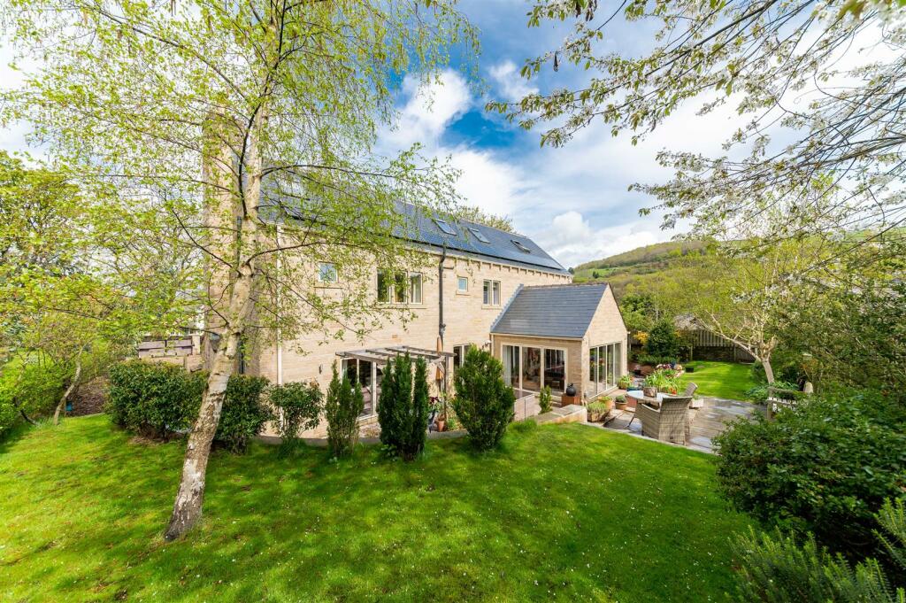
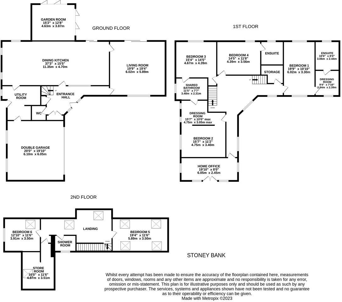
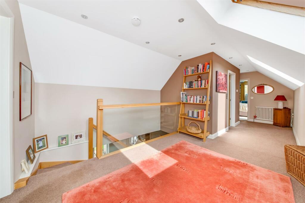
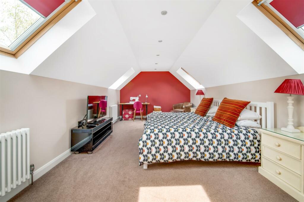
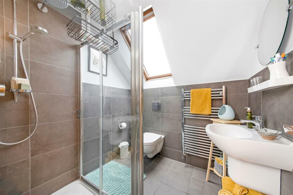
AN INDIVIDUALLY DESIGNED AND CONSTRUCTED, EXECUTIVE, DETACHED FAMILY HOME. BUILT IN 2012, ‘TALL TREES’ OFFERS SPACIOUS AND VERSATILE ACCOMMODATION ACROSS THREE STOREYS, IDEAL FOR THE GROWING FAMILY AND FOR THOSE SEEKING HOME WORKING SPACE. OCCUPYING A GENEROUS PLOT ON THE PRESTIGIOUS, TREE-LINED ...
- Bedrooms
- 7
- Bathrooms
- 6
The heatmap indicates the level of crime in the area. The color of the heatmap indicates the crime severity and recency.
Metrics Year-on-Year
- Average area value
- 454,991.00 £Increased by 10.16 %
- Average area rental value
- 1,126.00 £/moDecreased by 3.35 %
- Est rental Yield
- 2.97 %Decreased by 12.13 %
- Crime Rate
- 1.00 %Unchanged by 0.00 %
from 413,042.00 £
from 1,165.00 £/mo
from 3.38 %
from 1.00 %
Agent Activity
Simon Blyth created the listing.
Nearby Schools
| Name | Type | Ofsted | Distance |
|---|---|---|---|
| Holmfirth High School | Community School | Good | 0.41 KM |
| New Mill Infant School | Academy Sponsor Led | 0.53 KM | |
| New Mill Junior School | Academy Converter | 0.89 KM | |
| Brockholes Church Of England Voluntary Controlled Junior And Infant School | Voluntary Controlled School | Outstanding | 1.39 KM |
| Thurstonland Endowed Voluntary Controlled First School | Voluntary Controlled School | Outstanding | 2.30 KM |
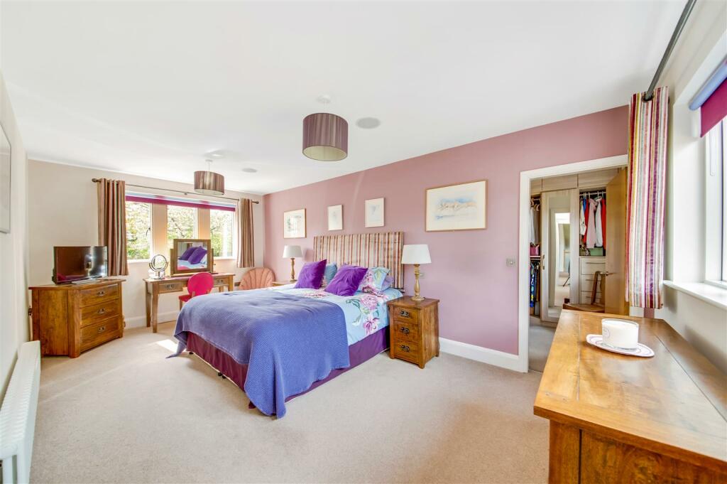
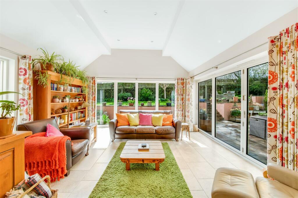
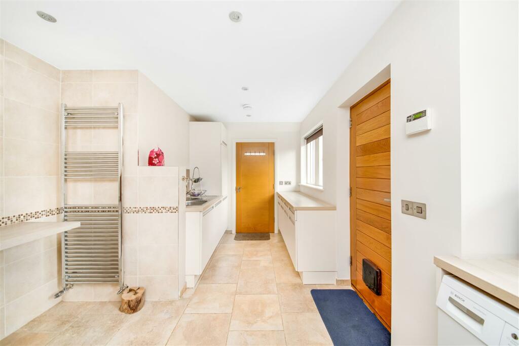
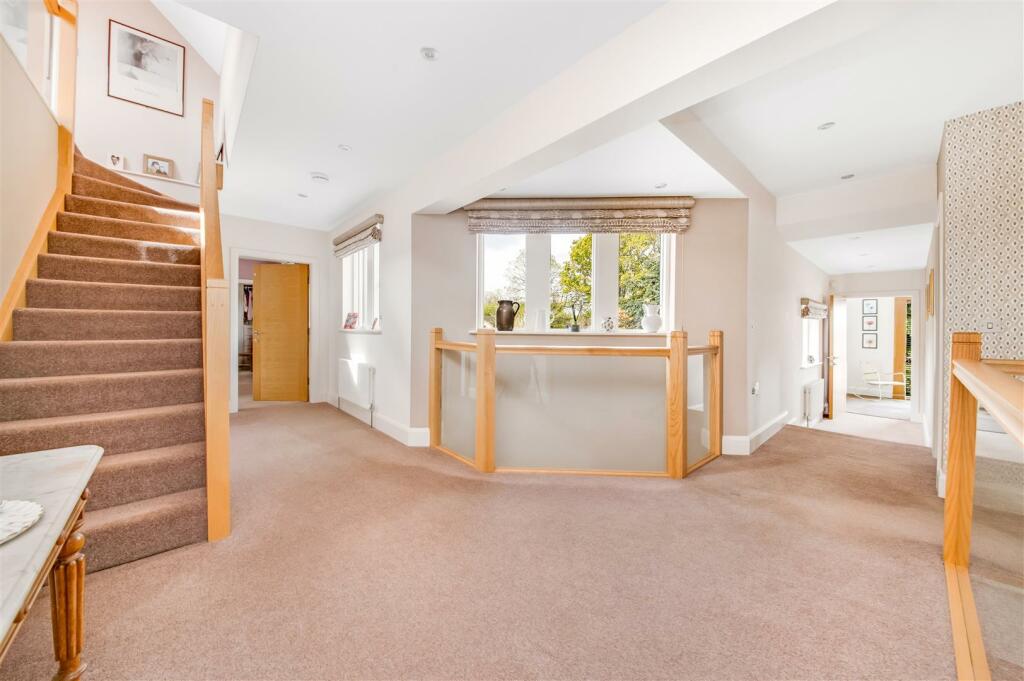
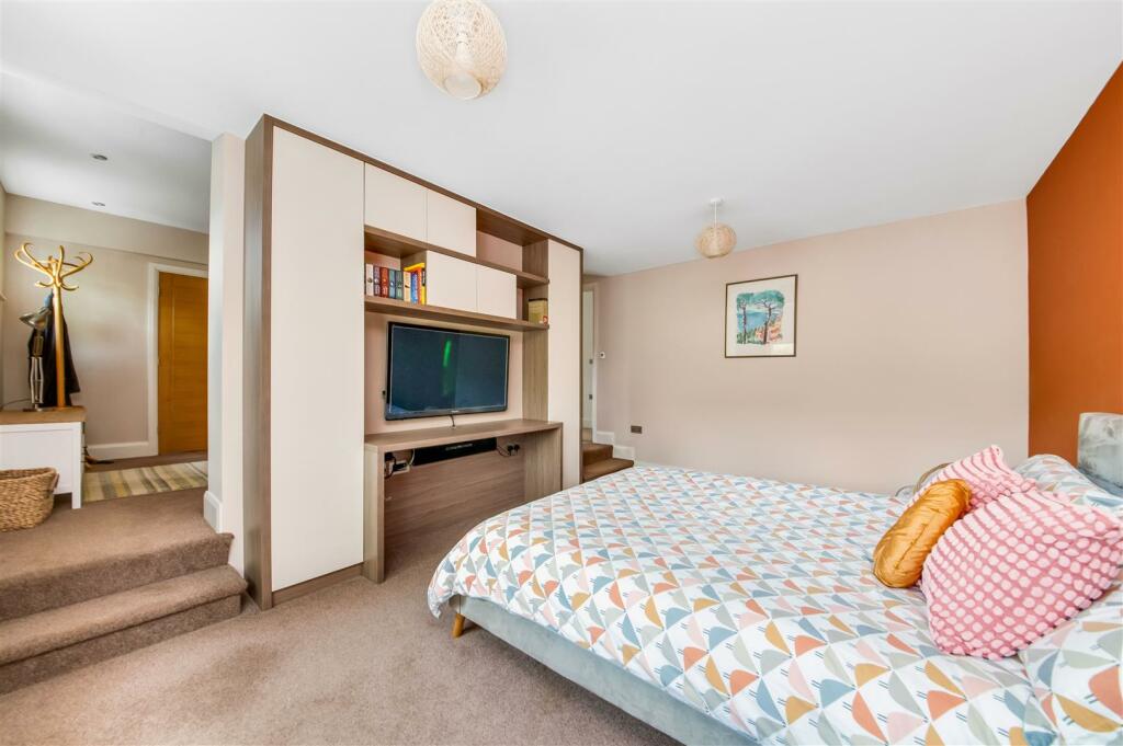
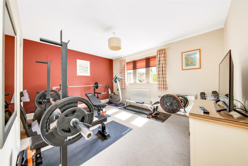
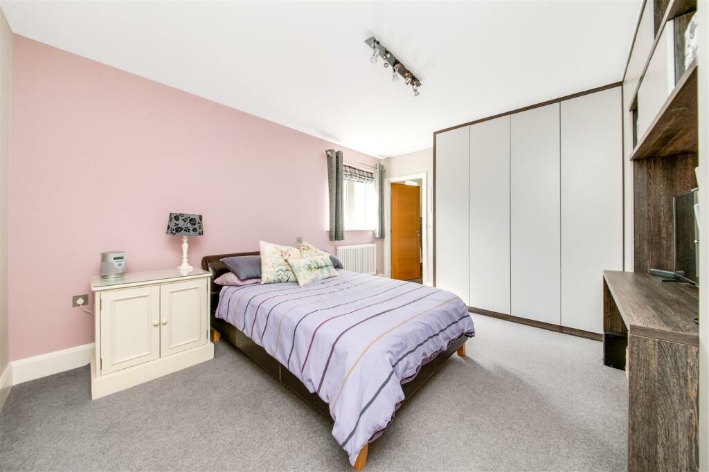
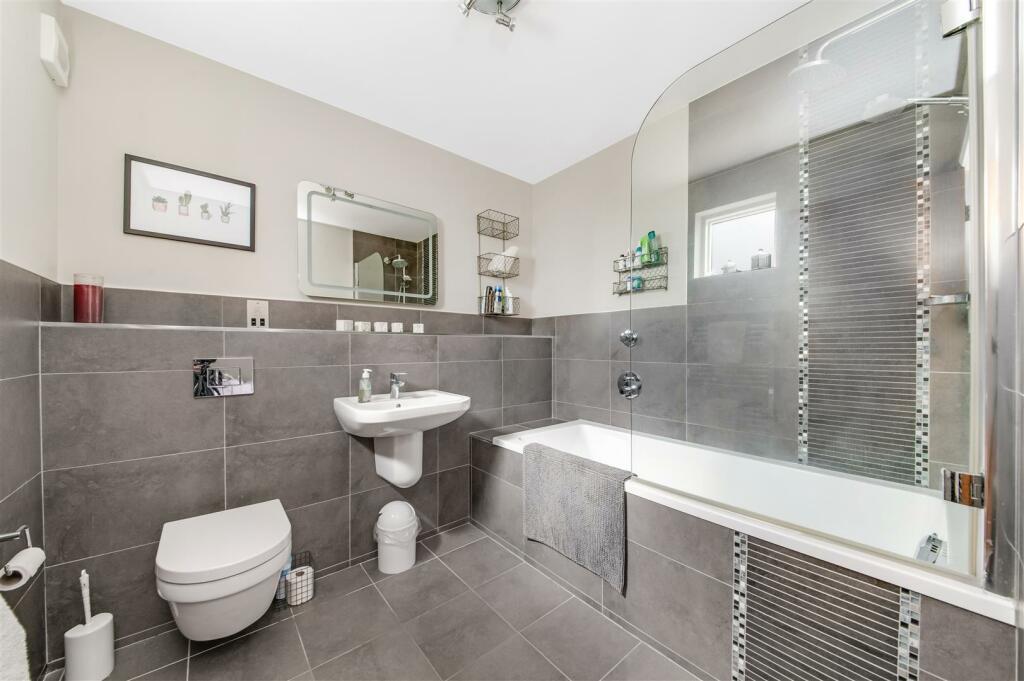
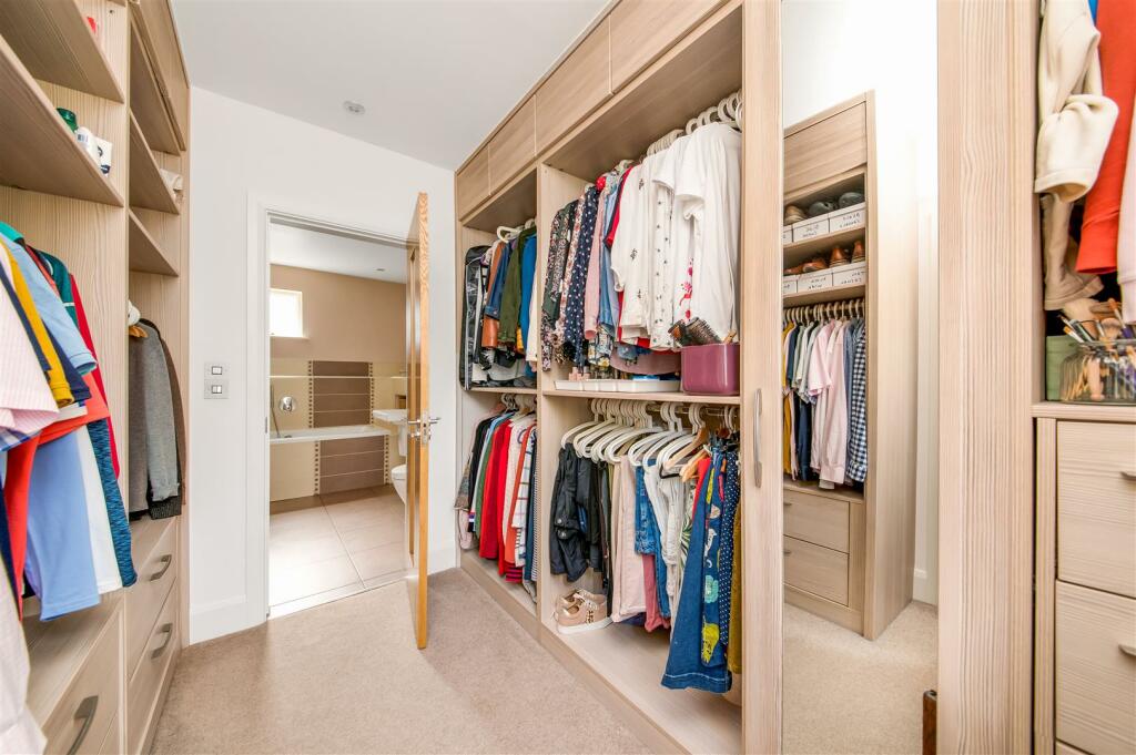
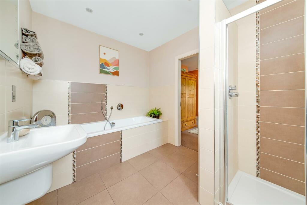
Images


Nearby Streets
| Name | Average Price | Average Sqft | Distance |
|---|---|---|---|
| Co-Operative Terrace | £ 220,000 | 0 | 0.00 KM |
| Elm Avenue | £ 0 | 0 | 0.00 KM |
| Woodlands Avenue | £ 0 | 0 | 0.00 KM |
| Meadow View | £ 0 | 0 | 0.00 KM |
| Lime Avenue | £ 0 | 0 | 0.00 KM |
Nearby Transport
| Name | NLC | TLC | Distance |
|---|---|---|---|
| Brockholes | 8429 | BHS | 1.59 KM |
| Honley | 8436 | HOY | 3.19 KM |
| Stocksmoor | 8451 | SSM | 5.07 KM |
| Berry Brow | 8431 | BBW | 5.12 KM |
| Lockwood | 8443 | LCK | 6.84 KM |
Nearby Listings
| Address | Price | Type | Score | Distance |
|---|---|---|---|---|
| Stoney Bank Chase, Thongsbridge, Holmfirth, West Yorkshire, HD9 | £ 425,000 | BUY | 7 / 10 | 0.16 KM |
| Springwood Road, Thongsbridge, Holmfirth | £ 425,000 | BUY | 7 / 10 | 0.17 KM |
| Stoney Bank Chase, Thongsbridge, Holmfirth, West Yorkshire, HD9 | £ 230,000 | BUY | 7 / 10 | 0.22 KM |
| Stoney Bank Chase, Thongsbridge, Holmfirth, West Yorkshire, HD9 | £ 220,000 | BUY | 7 / 10 | 0.22 KM |
| Sycamore Rise, Holmfirth, West Yorkshire, HD9 | £ 250,000 | BUY | Unknown | 0.30 KM |
Nearby Properties
| Address | Price | Distance |
|---|---|---|
| 21 Springwood Road | £ 265,000 | 0.17 KM |
| 8 Springwood Road | £ 378,000 | 0.17 KM |
| 1 Springwood Road | £ 620,000 | 0.17 KM |
| 13 Springwood Road | £ 215,000 | 0.17 KM |
| 25 Springwood Road | £ 173,000 | 0.17 KM |