AD
Sunderland, Tyne And Wear, SR1
By Ad Hoc Property Management Ltd
£ 375
Ad Hoc Property Management Ltd says ..
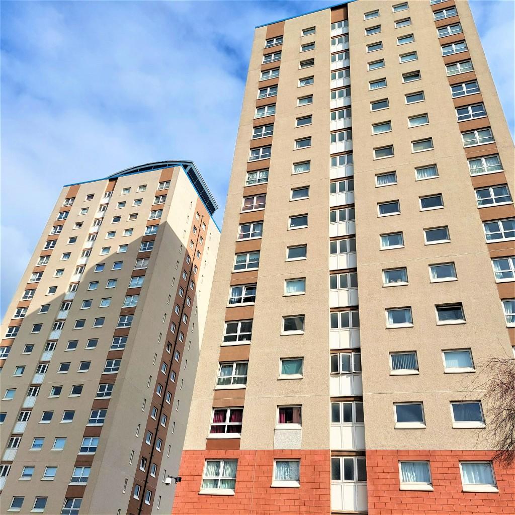
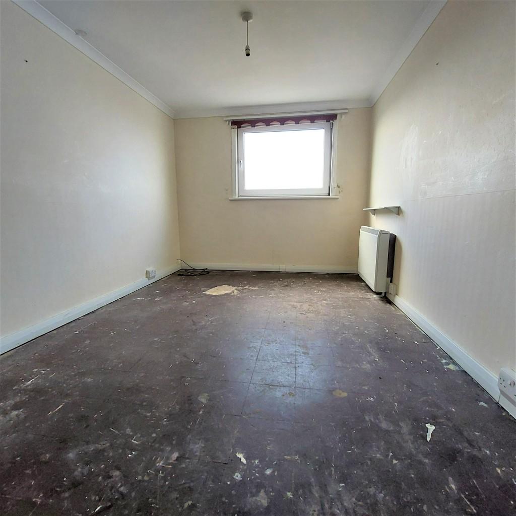
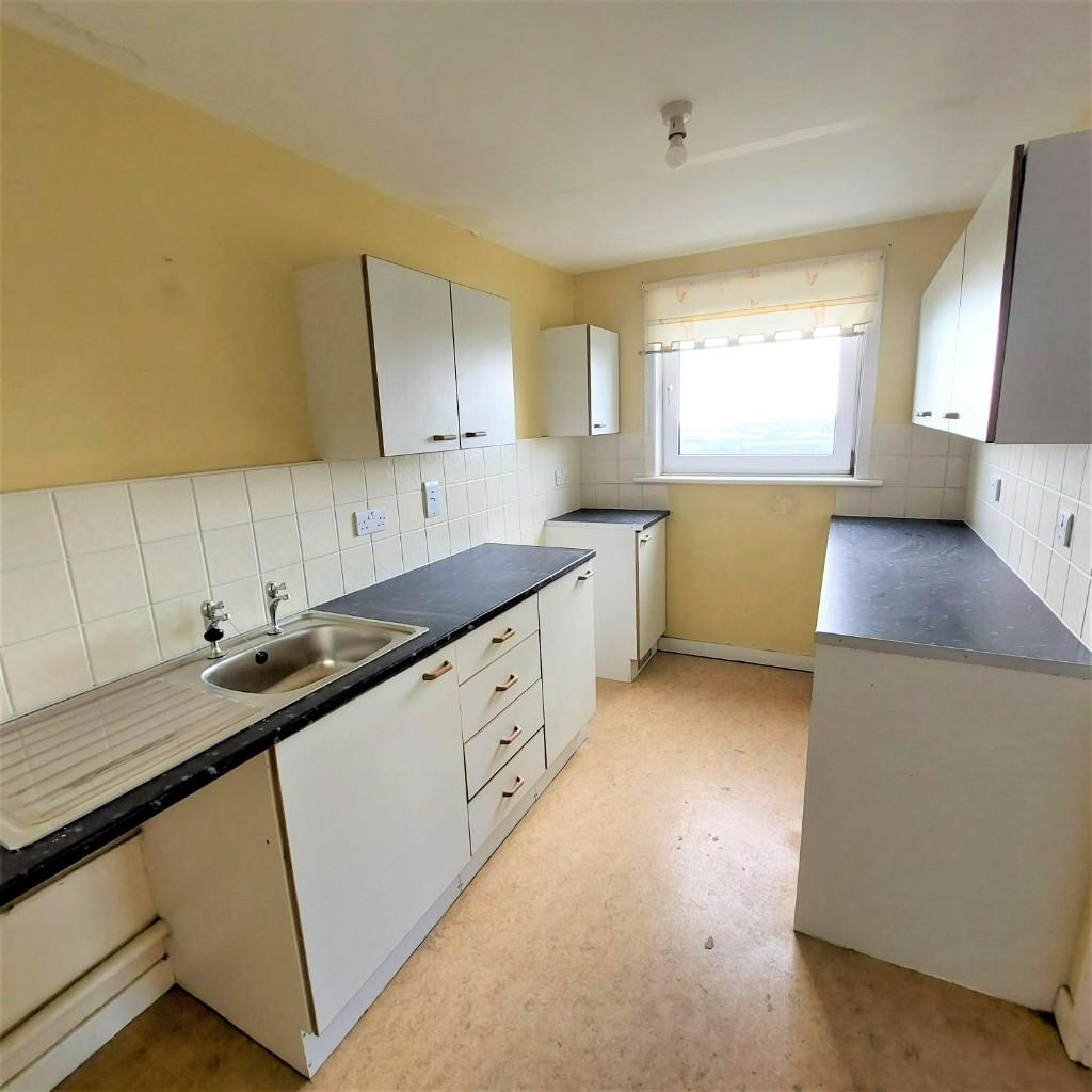
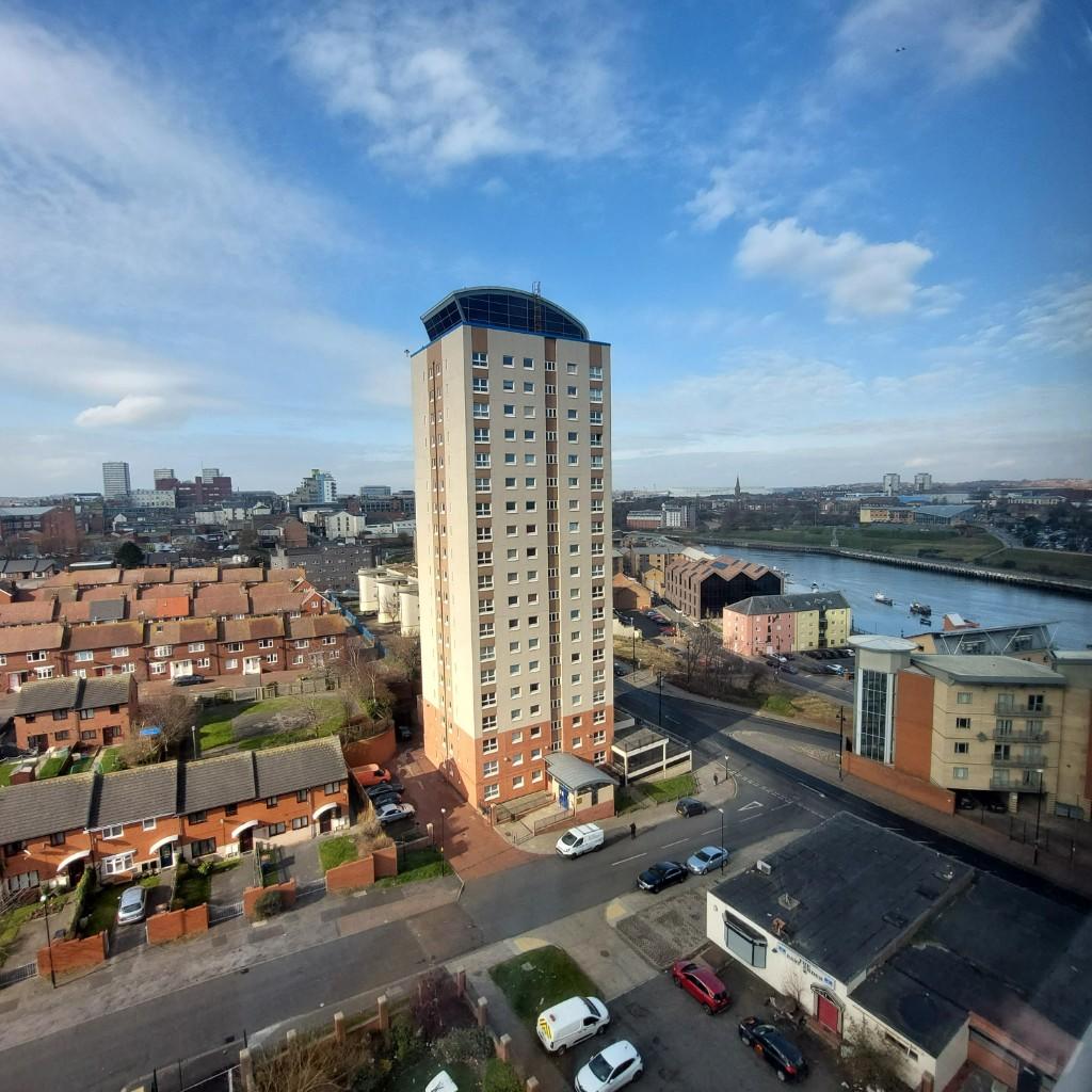
Great views of Sunderland City from £375pcm
- Bedrooms
- 2
- Bathrooms
- 0
The heatmap indicates the level of crime in the area. The color of the heatmap indicates the crime severity and recency.
Metrics Year-on-Year
- Average area value
- 502,893.00 £Increased by 16.71 %
- Average area rental value
- 1,587.00 £/moDecreased by 12.80 %
- Est rental Yield
- 3.79 %Decreased by 25.25 %
- Crime Rate
- 10.00 %Unchanged by 0.00 %
from 430,903.00 £
from 1,820.00 £/mo
from 5.07 %
from 10.00 %
Agent Activity
Ad Hoc Property Management Ltd created the listing.
Nearby Schools
| Name | Type | Ofsted | Distance |
|---|---|---|---|
| Hudson Road Primary School | Community School | Good | 0.61 KM |
| Sunderland Children'S Centre East | Children's Centre | 0.65 KM | |
| Dame Dorothy Primary School | Community School | Good | 0.78 KM |
| Valley Road Academy | Academy Converter | 1.44 KM | |
| Redby Academy | Academy Converter | Good | 1.82 KM |
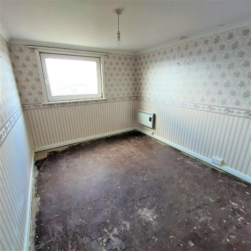
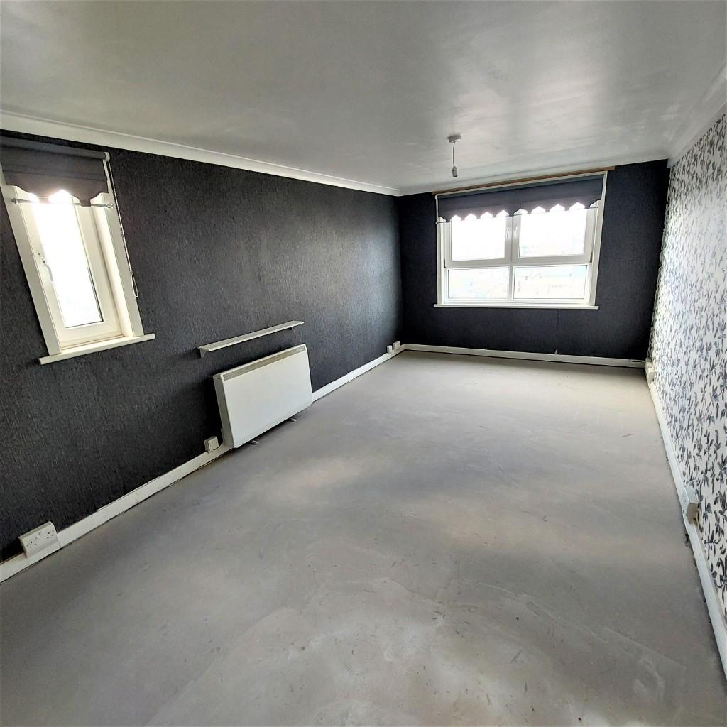
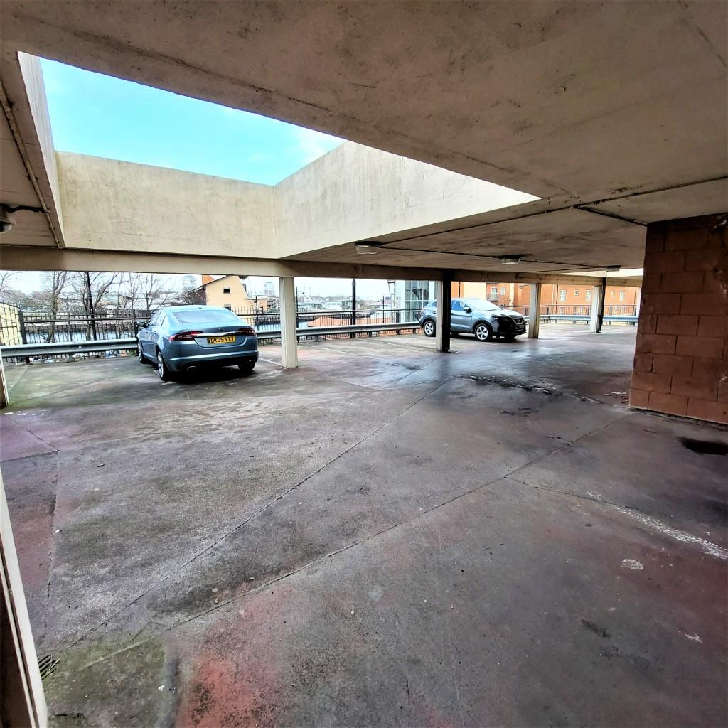
Images

Nearby Streets
| Name | Average Price | Average Sqft | Distance |
|---|---|---|---|
| The Quadrant | £ 0 | 0 | 0.00 KM |
| Charles Street | £ 0 | 0 | 0.00 KM |
| Pauls Road | £ 0 | 0 | 0.00 KM |
| Suffolk Street | £ 0 | 0 | 0.00 KM |
| Salem Road | £ 0 | 0 | 0.00 KM |
Nearby Transport
| Name | NLC | TLC | Distance |
|---|---|---|---|
| Sunderland | 7640 | SUN | 1.22 KM |
| Seaham | 7814 | SEA | 8.21 KM |
Nearby Listings
| Address | Price | Type | Score | Distance |
|---|---|---|---|---|
| MUST BE EMPLOYED - Sunderland, Tyne And Wear, SR1 | £ 375 | RENT | Unknown | 0.00 KM |
| River View, Sunderland | £ 800 | RENT | Unknown | 0.08 KM |
| River View, Low Street, Sunderland | £ 700 | RENT | Unknown | 0.09 KM |
| Low Street, Sunderland, SR1 | £ 650 | RENT | Unknown | 0.09 KM |
| Low Street, Sunderland | £ 700 | RENT | Unknown | 0.09 KM |
Nearby Properties
| Address | Price | Distance |
|---|---|---|
| 21 Cork Street | £ 35,000 | 0.30 KM |
| 7 Cork Street | £ 13,000 | 0.30 KM |
| 17 Cork Street | £ 32,000 | 0.30 KM |
| 19 Cork Street | £ 40,000 | 0.30 KM |
| 45 South Durham Court | £ 52,000 | 0.39 KM |