
HA
BIRMINGHAM B32 1
By haart
£ 1,050
haart says ..
1 WEEKS RENT FREE TO MOVE IN BY 31/12/25
- Bedrooms
- 2
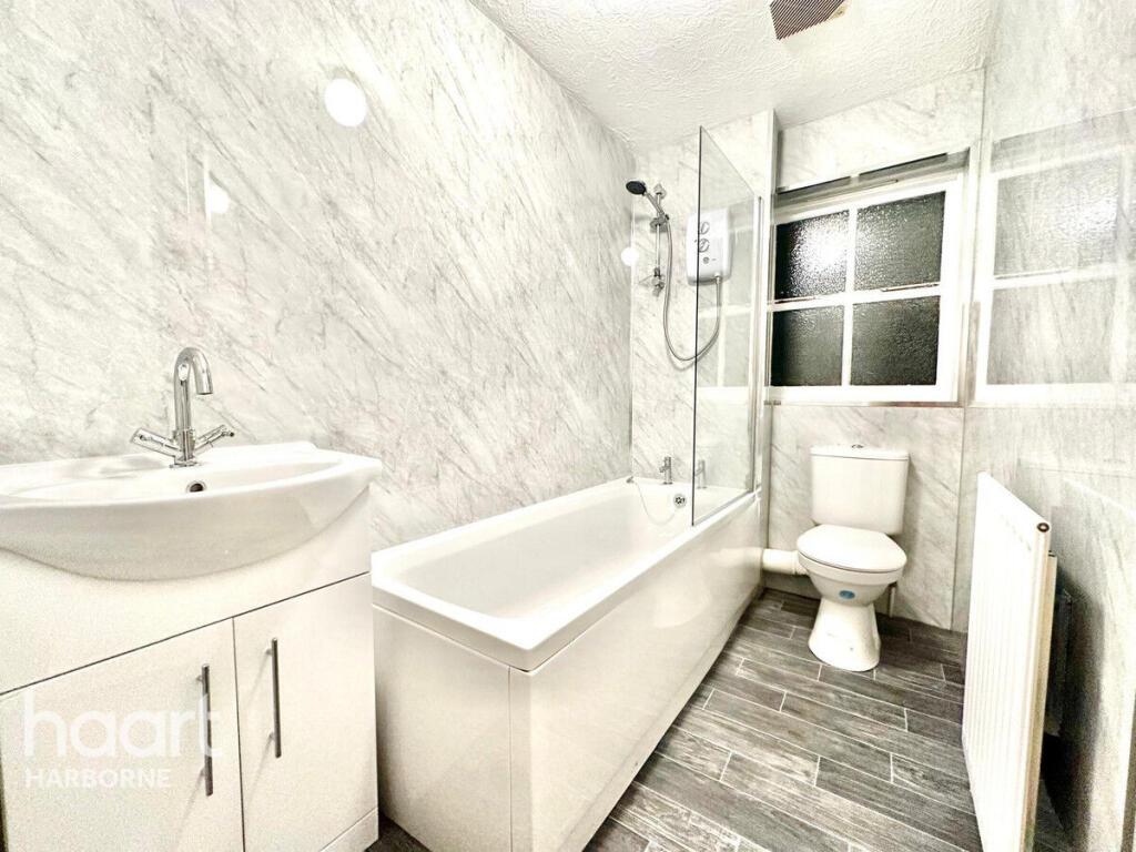
- Bathrooms
- 1
The heatmap indicates the level of crime in the area. The color of the heatmap indicates the crime severity and recency.
Metrics Year-on-Year
- Average area value
- 343,500.00 £Decreased by 10.23 %
- Average area rental value
- 1,207.00 £/moDecreased by 5.18 %
- Est rental Yield
- 4.22 %Increased by 5.76 %
- Crime Rate
- 4.00 %Unchanged by 0.00 %
from 382,656.00 £
from 1,273.00 £/mo
from 3.99 %
from 4.00 %
Agent Activity
haart created the listing.
Nearby Schools
| Name | Type | Ofsted | Distance |
|---|---|---|---|
| Four Dwellings Academy | Academy Sponsor Led | Good | 0.28 KM |
| Four Dwellings Primary Academy | Academy Sponsor Led | Requires improvement | 0.44 KM |
| Quinton Church Primary School | Academy Converter | Good | 0.85 KM |
| Howley Grange Primary School | Community School | Good | 1.14 KM |
| Perryfields Primary School | Community School | Requires improvement | 1.46 KM |
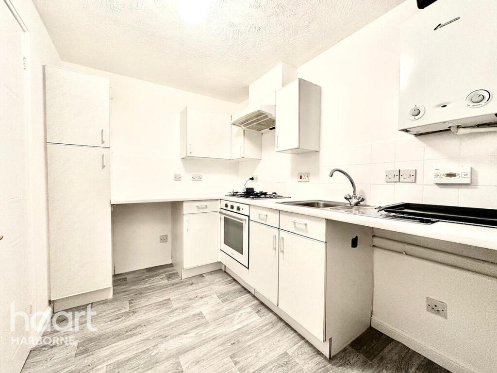
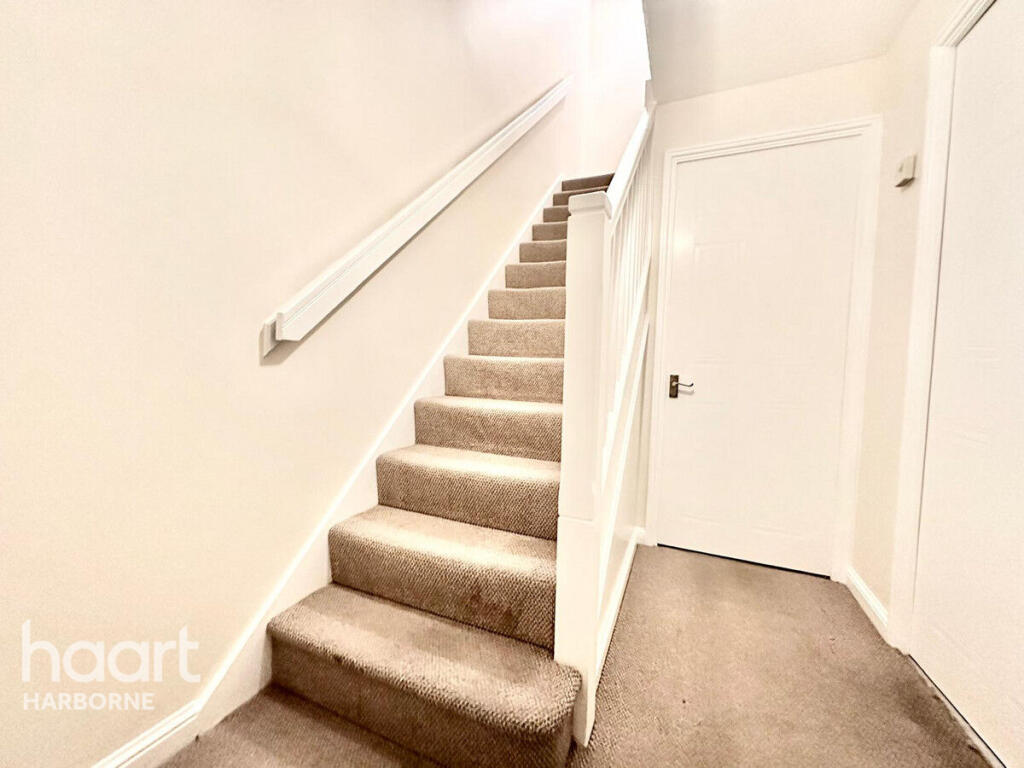
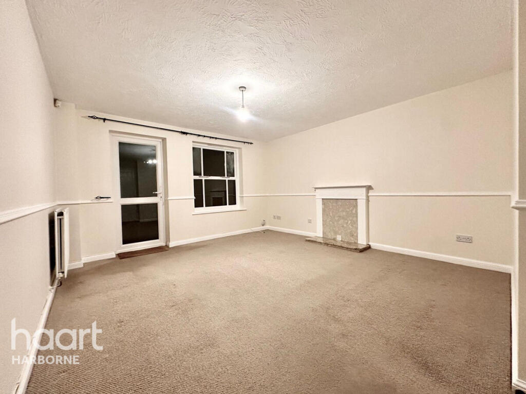
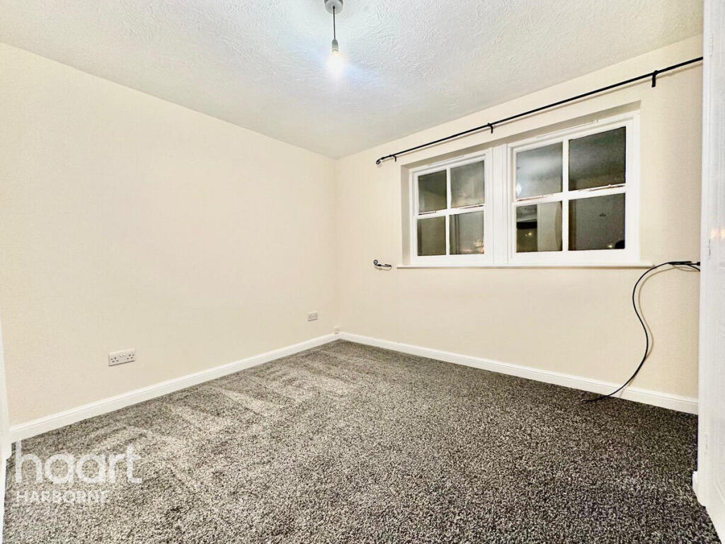
Images


Nearby Streets
| Name | Average Price | Average Sqft | Distance |
|---|---|---|---|
| Jackson Way | £ 295,000 | 0 | 0.00 KM |
| Stoney Lane | £ 370,000 | 0 | 0.00 KM |
| Conway Avenue | £ 337,500 | 0 | 0.00 KM |
| The Green | £ 0 | 0 | 0.00 KM |
| Oaklands | £ 230,000 | 0 | 0.00 KM |
Nearby Transport
| Name | NLC | TLC | Distance |
|---|---|---|---|
| Rowley Regis | 4606 | ROW | 3.80 KM |
| Langley Green | 4607 | LGG | 4.45 KM |
| Old Hill | 4641 | OHL | 5.88 KM |
| Smethwick Galton Bridge | 1114 | SGB | 6.02 KM |
| Sandwell And Dudley | 1149 | SAD | 6.12 KM |
Nearby Listings
| Address | Price | Type | Score | Distance |
|---|---|---|---|---|
| BIRMINGHAM B32 1 | £ 1,050 | RENT | Unknown | 0.00 KM |
| Stourton Road, Quinton, Birmingham, West Midlands, B32 | £ 950 | RENT | Unknown | 0.30 KM |
| Stourton Road | £ 900 | RENT | Unknown | 0.31 KM |
| Highfield Lane, Quinton, Birmingham, B32 1QR | £ 1,750 | RENT | Unknown | 0.44 KM |
| Golden Cup, Quinton Road West | £ 900 | RENT | Unknown | 0.54 KM |
Nearby Properties
| Address | Price | Distance |
|---|---|---|
| 40 Woodridge Avenue | £ 177,000 | 0.07 KM |
| 28 Woodridge Avenue | £ 109,500 | 0.07 KM |
| 30 Woodridge Avenue | £ 154,000 | 0.07 KM |
| 35 Woodridge Avenue | £ 83,000 | 0.07 KM |
| 43 Woodridge Avenue | £ 246,000 | 0.07 KM |