
Ashford Rise, Belper, Derbyshire, DE56
By YOUR MOVE - Attenborough & Co
£ 335,000
Reviews
3 out of 5 stars
YOUR MOVE - Attenborough & Co says ..
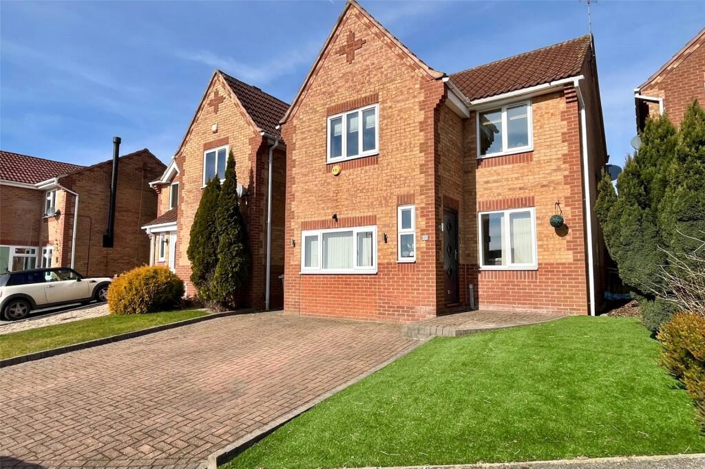
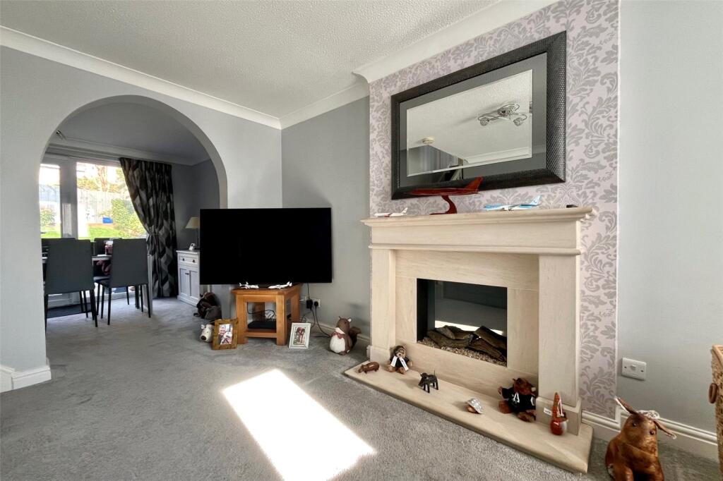
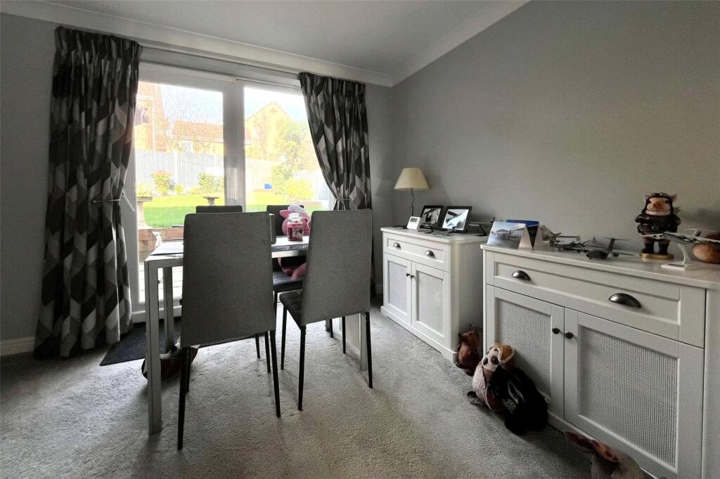
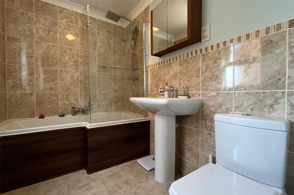
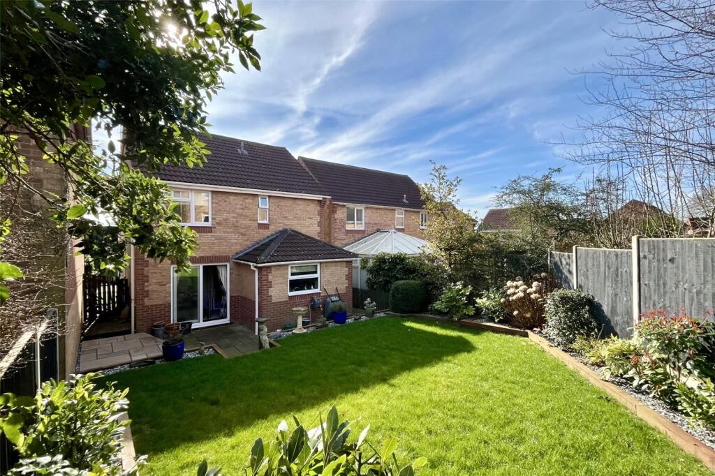
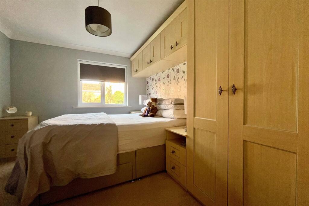
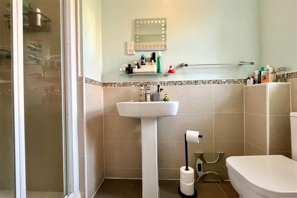
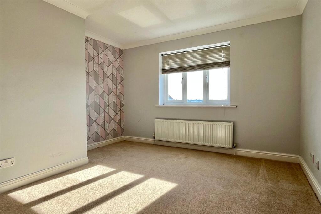
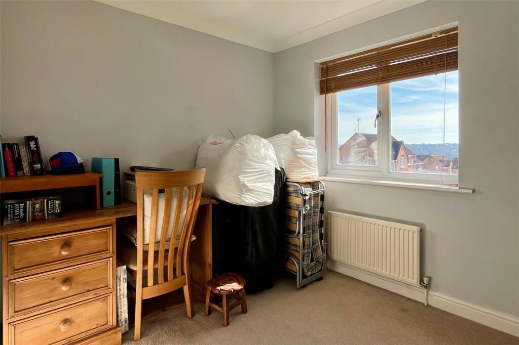
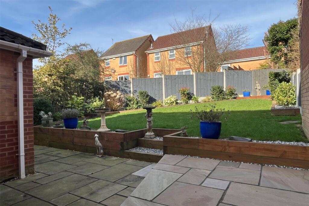
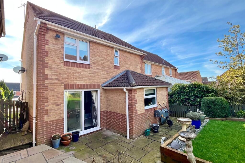
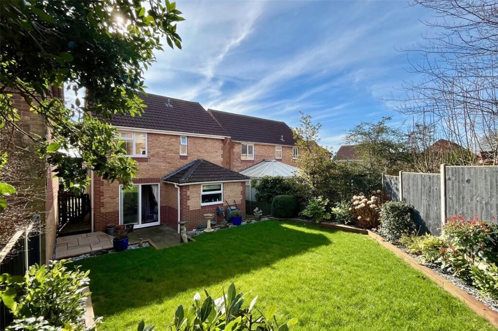
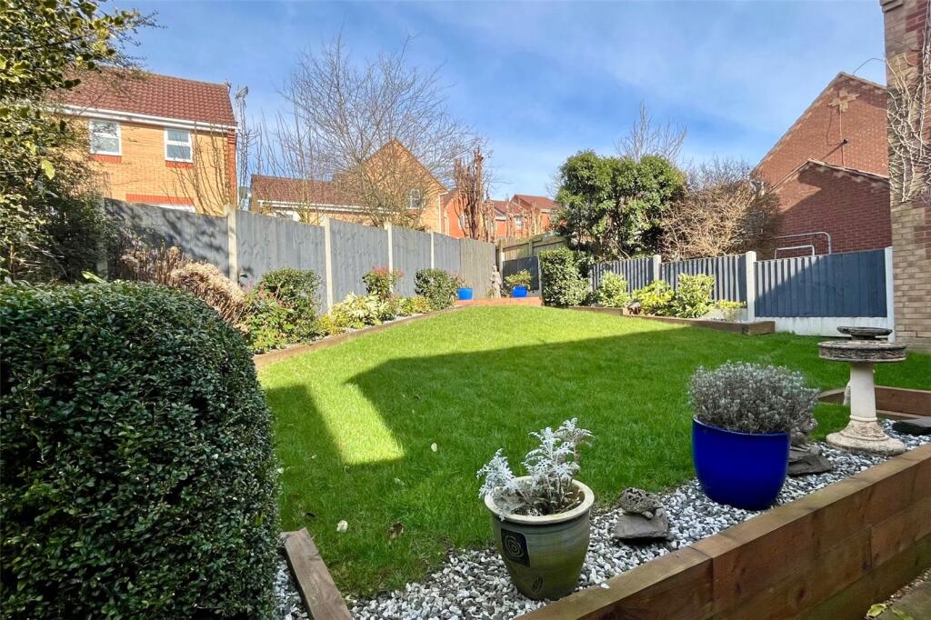
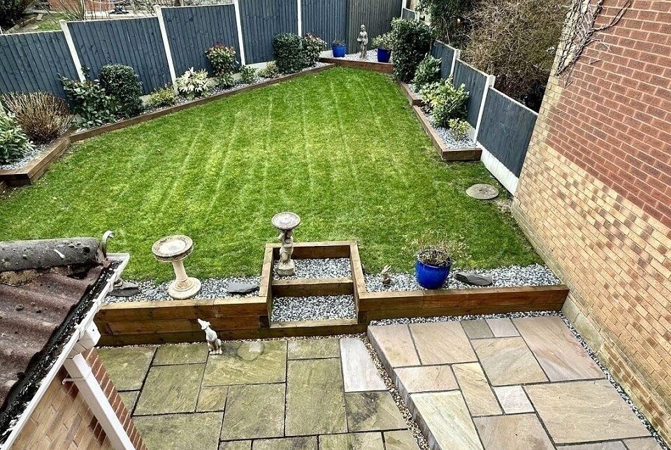
This extended, detached family home is conveniently located within walking distance of local schools, shops and public transport links, as well as being just a few minutes drive of Belper's bustling town centre and it's host of pubs, shops and restaurants. The accommodation briefly comprises entr...
Property Oracle says ..
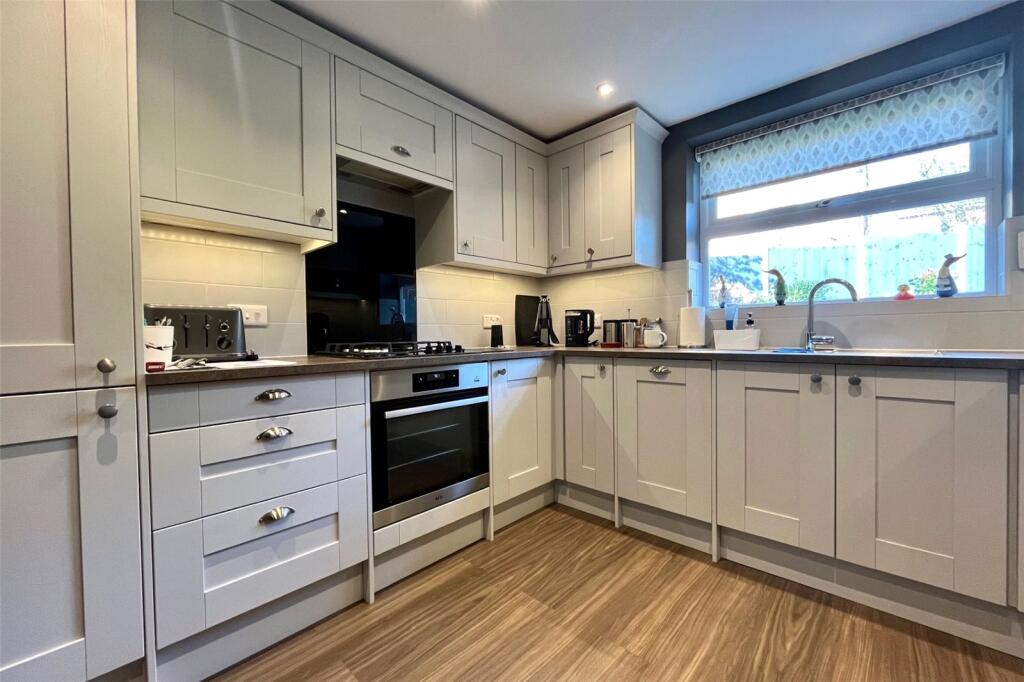
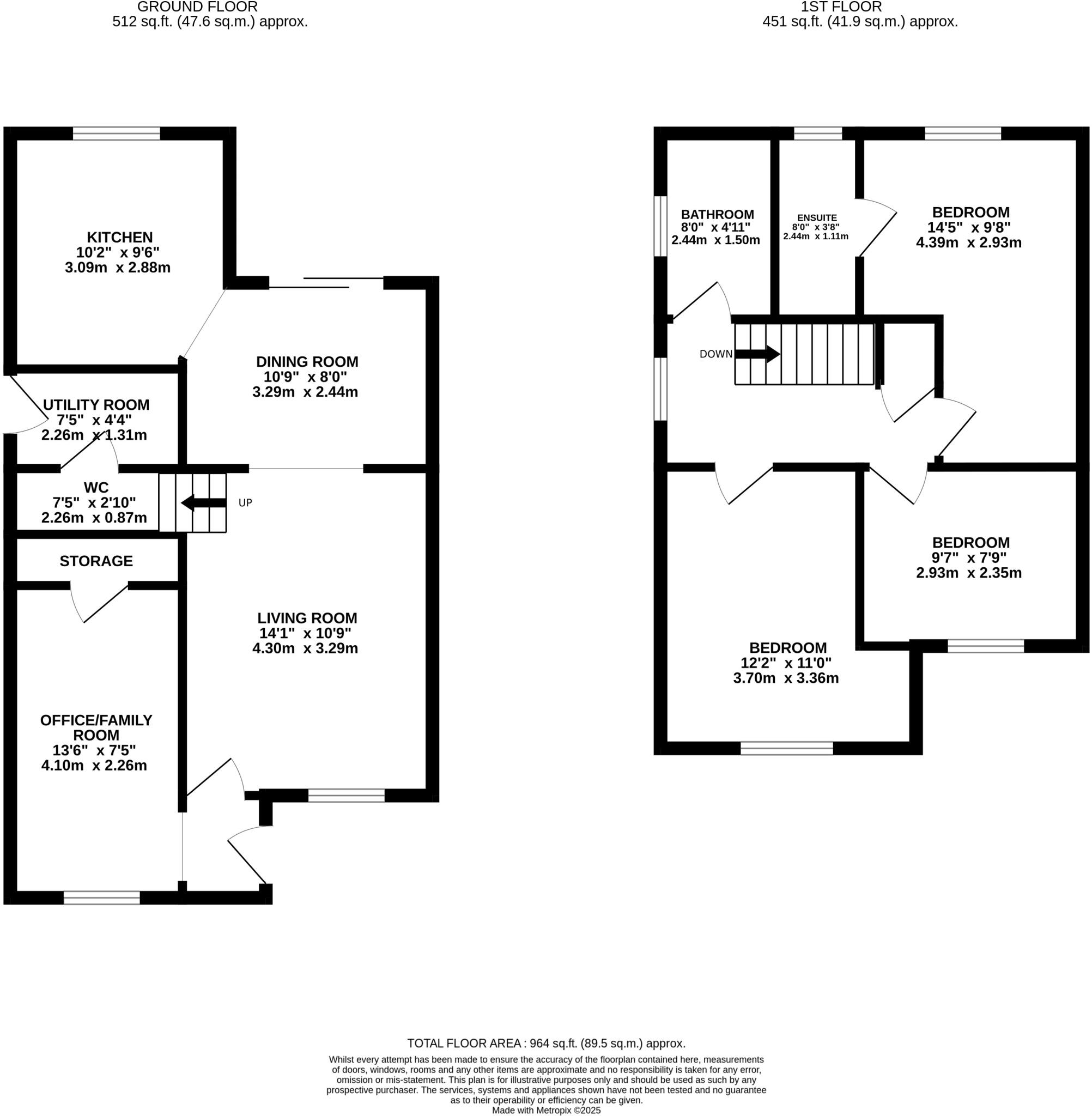
The property is located in Ashford Rise, Belper, Derbyshire. Based on the provided data, it’s a 3-bedroom, 2-bathroom house with a total area of 963.37 sqft. The property benefits from a good-sized garden. The average house price in the area is £255,388, with an average price per sqft of £329. Nearby schools include St John’s Cofe Primary School and Pottery Primary School, both rated ‘Good’ by Ofsted. Belper railway station is approximately 2.36km away. The property appears to be in good condition, with a recently updated kitchen and bathrooms. The interior is presented well and is clean and tidy. The exterior is also well-maintained. The presence of a garden is a positive feature, adding to the overall appeal of the property. Considering the property’s condition, location, and the presence of a garden, the list price of £335,000 appears slightly higher than the average price for the area. However, the property’s size (963.37 sqft) is larger than the average (775 sqft), and its presentation suggests it is in better condition than many comparable properties. The higher price may be justified by these factors. More information on comparable properties in Ashford Rise would help to further refine this assessment.
Therefore, we give this property 7 / 10. *Disclaimer: This is our option and does constitute a recommendation or financial advice. Do your own research. *
- Price
- 6
- Condition
- 8
- Location
- 7
- Land
- 7
- Bedrooms
- 3
- Bathrooms
- 2
- Sqft (est)
- 963.37
The heatmap indicates the level of crime in the area. The color of the heatmap indicates the crime severity and recency.
Metrics Year-on-Year
- Average area value
- 178,750.00 £Decreased by 27.19 %
- Est sale value
- 227,355.32 £Increased by 5.36 %
- Average area rental value
- 583.00 £/moDecreased by 41.05 %
- Est letting value
- 0.00 £/mo
- Est rental Yield
- 3.91 %Decreased by 19.05 %
- Crime Rate
- 6.00 %Unchanged by 0.00 %
Agent Activity
YOUR MOVE - Attenborough & Co created the listing.
Nearby Schools
| Name | Type | Ofsted | Distance |
|---|---|---|---|
| St John'S Cofe Primary School And Nursery | Voluntary Controlled School | Good | 0.88 KM |
| Pottery Primary School | Community School | Good | 0.92 KM |
| Belper School And Sixth Form Centre | Foundation School | Requires improvement | 1.18 KM |
| St Elizabeth'S Catholic Voluntary Academy | Academy Converter | 2.00 KM | |
| Herbert Strutt Primary School | Community School | Good | 2.12 KM |
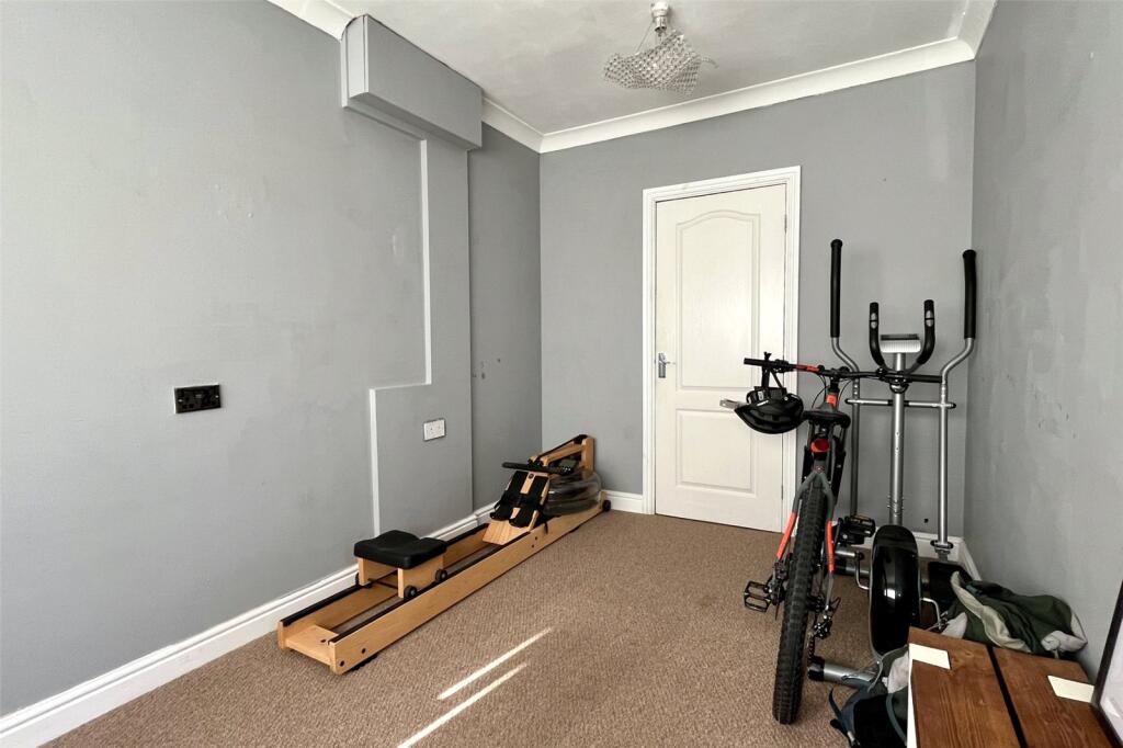
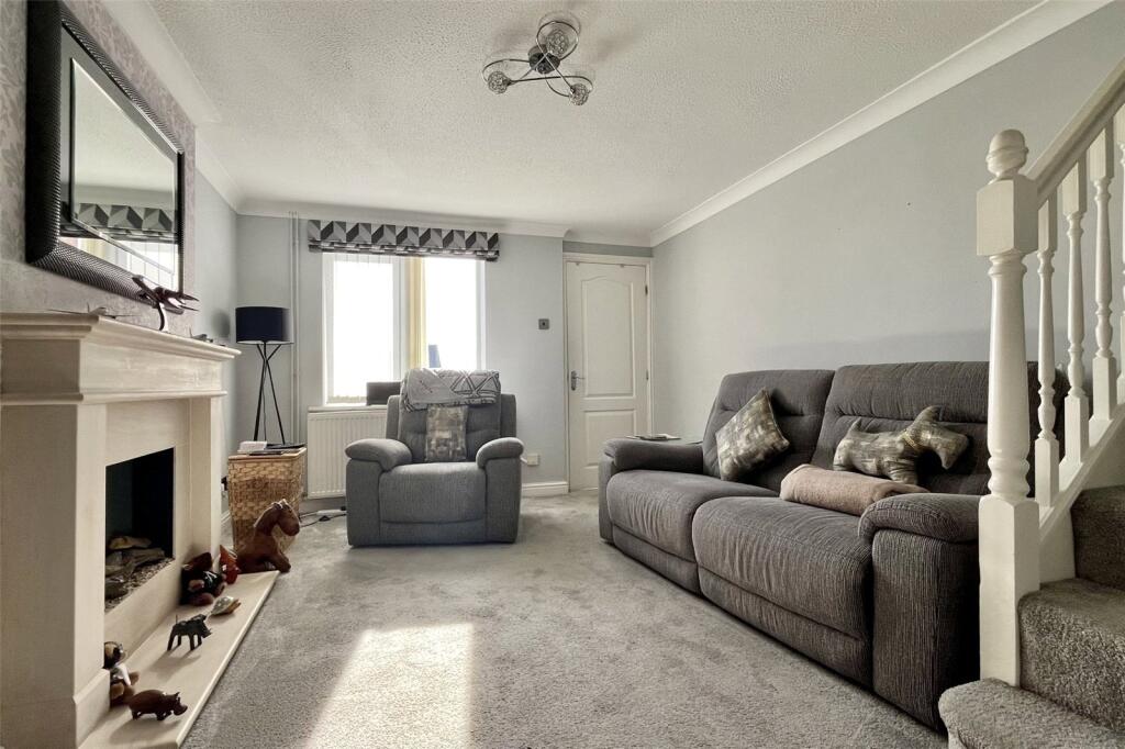
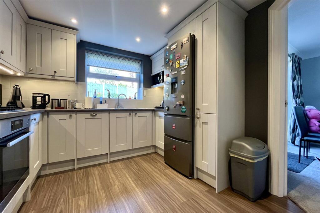
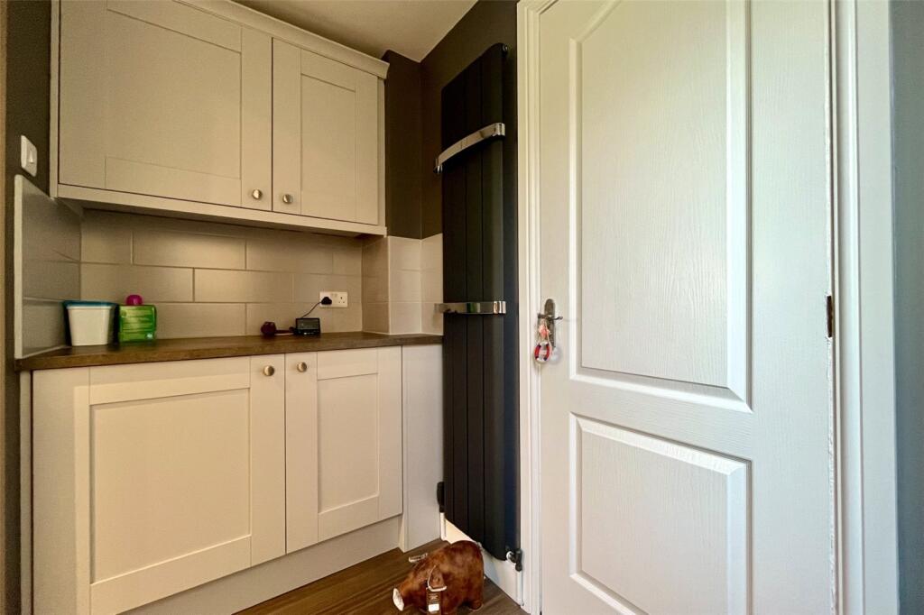
Images
Nearby Streets
| Name | Average Price | Average Sqft | Distance |
|---|---|---|---|
| Laund Avenue | £ 0 | 0 | 0.00 KM |
| Forest Close | £ 0 | 0 | 0.00 KM |
| Appleton Drive | £ 280,000 | 0 | 0.00 KM |
| Westbury Gardens | £ 0 | 0 | 0.00 KM |
| Alton Road | £ 0 | 0 | 0.00 KM |
Nearby Transport
| Name | NLC | TLC | Distance |
|---|---|---|---|
| Belper | 1679 | BLP | 2.36 KM |
| Ambergate | 1678 | AMB | 3.42 KM |
| Duffield | 1691 | DFI | 5.68 KM |
| Whatstandwell | 1585 | WTS | 6.99 KM |
Nearby Listings
| Address | Price | Type | Score | Distance |
|---|---|---|---|---|
| Ashford Rise, Belper, Derbyshire, DE56 | £ 335,000 | BUY | 7 / 10 | 0.00 KM |
| Ashford Rise, Belper, DE56 | £ 365,000 | BUY | Unknown | 0.09 KM |
| Ashford Rise, Belper | £ 300,000 | BUY | 7 / 10 | 0.09 KM |
| Ashford Rise, Belper | £ 250,000 | BUY | 7 / 10 | 0.09 KM |
| Ashford Rise, Belper | £ 210,000 | BUY | Unknown | 0.09 KM |
Nearby Properties
| Address | Price | Distance |
|---|---|---|
| 34 Ashford Rise | £ 295,000 | 0.09 KM |
| 18 Ashford Rise | £ 248,000 | 0.09 KM |
| 31 Ashford Rise | £ 59,500 | 0.09 KM |
| 68 Ashford Rise | £ 245,000 | 0.09 KM |
| 47 Ashford Rise | £ 120,000 | 0.09 KM |