
MA
Ixworth Road, IP31
By Map Letting & Property Management
£ 1,550
Map Letting & Property Management says ..
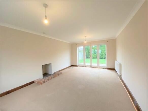
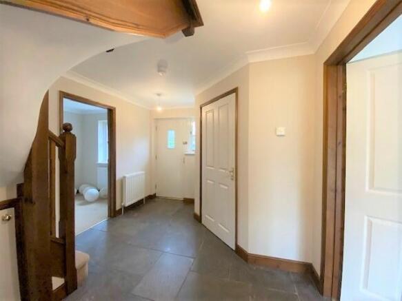
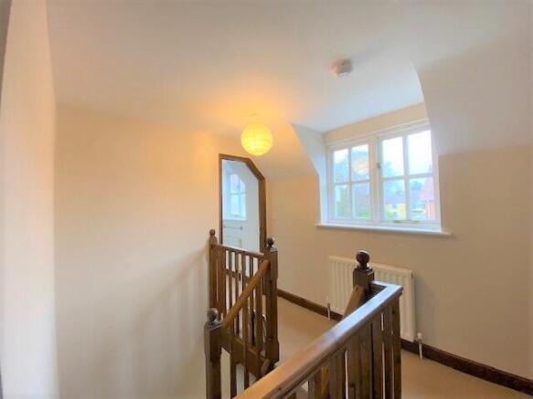
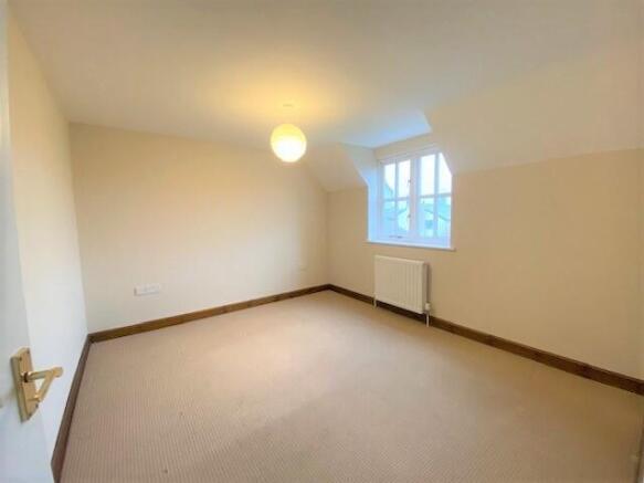
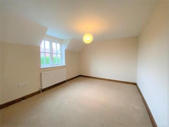
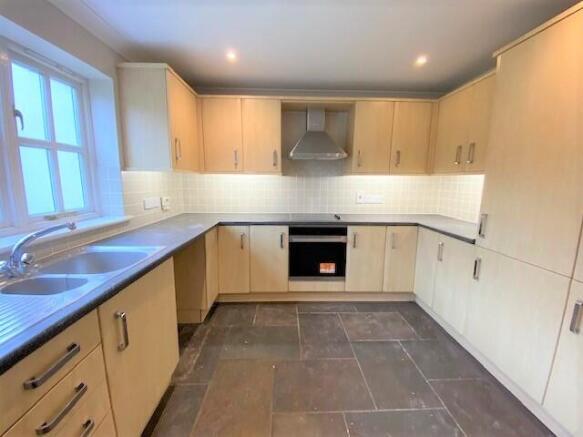
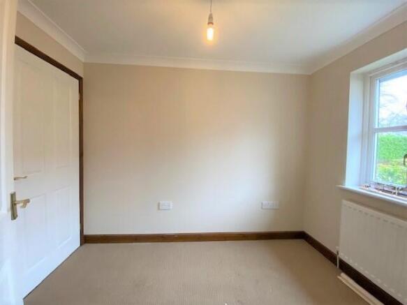
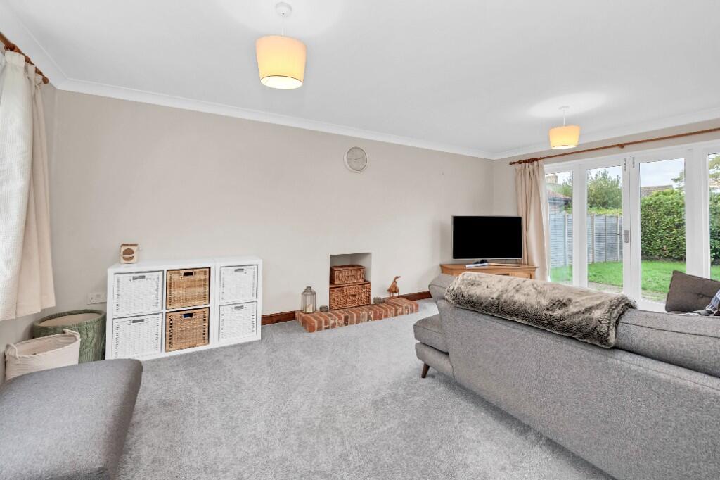
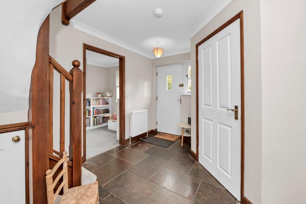
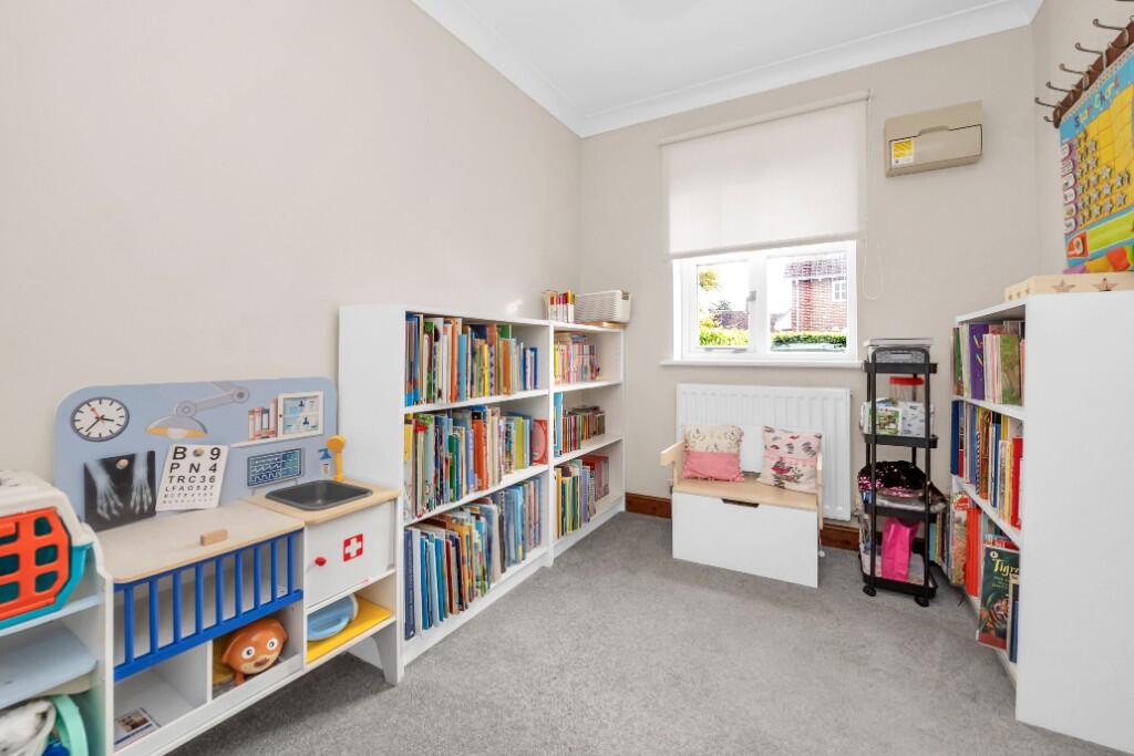
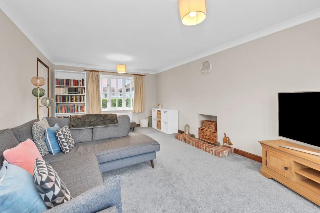
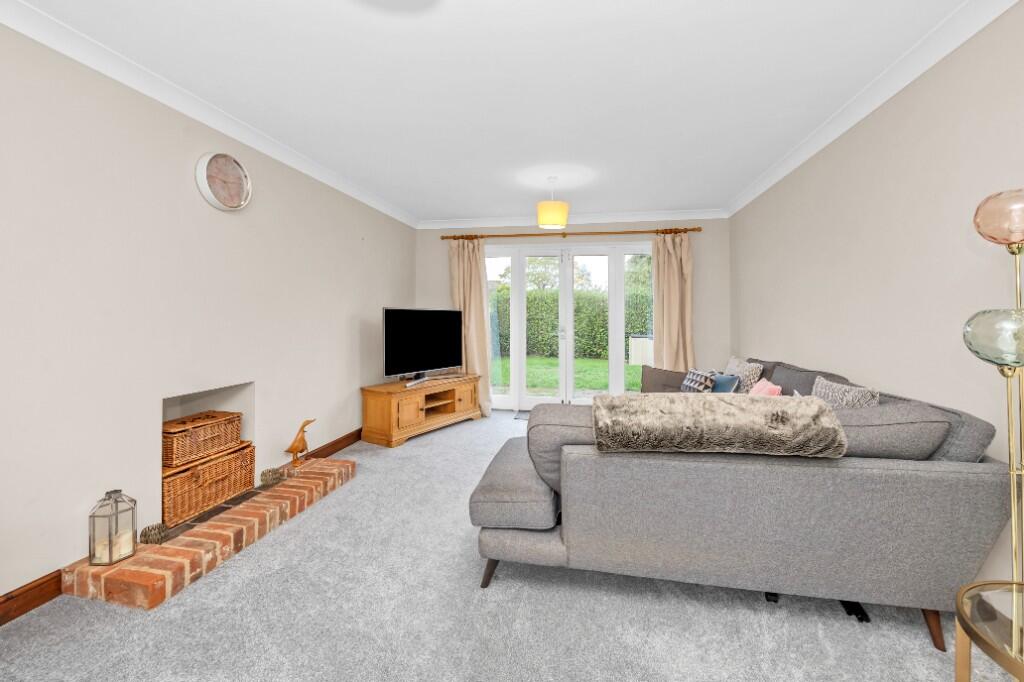
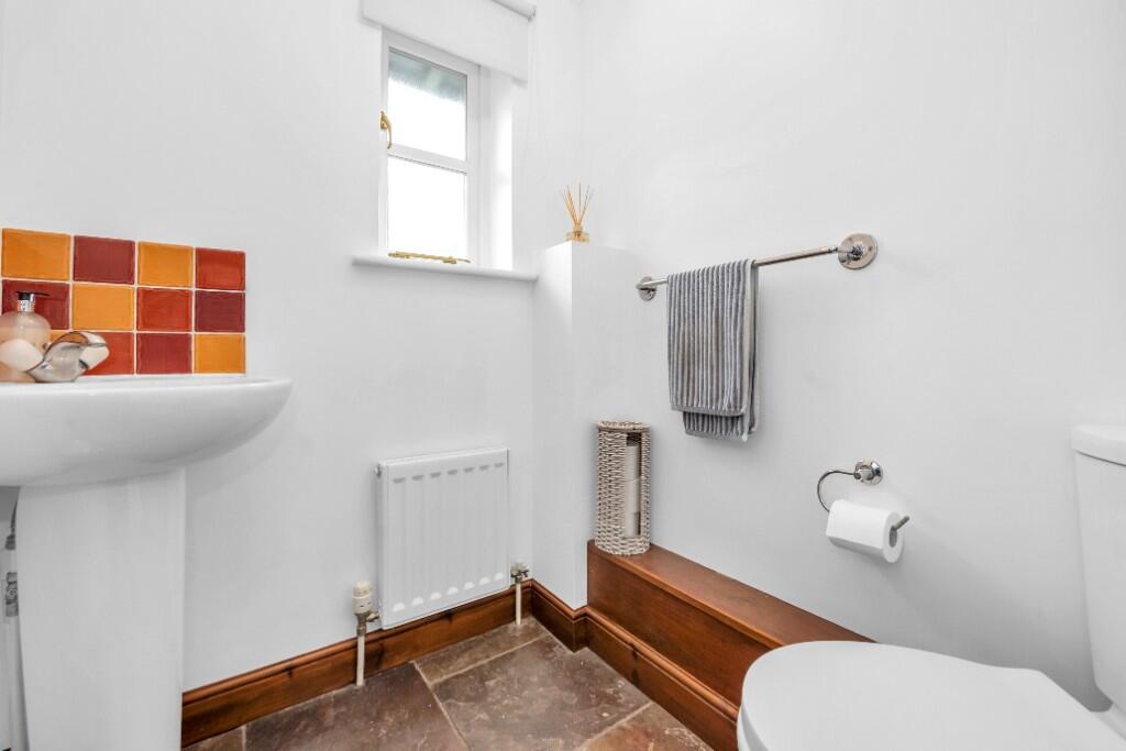
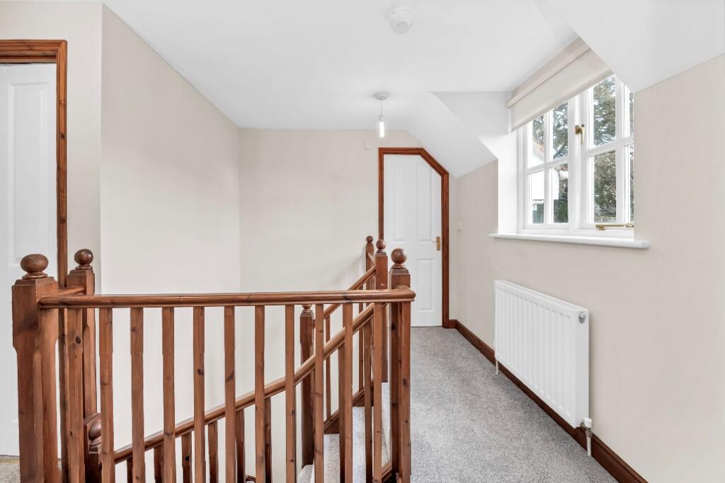
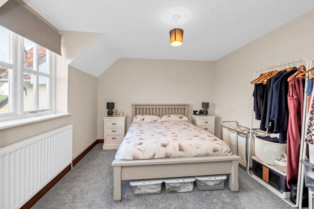
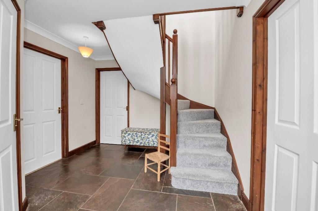
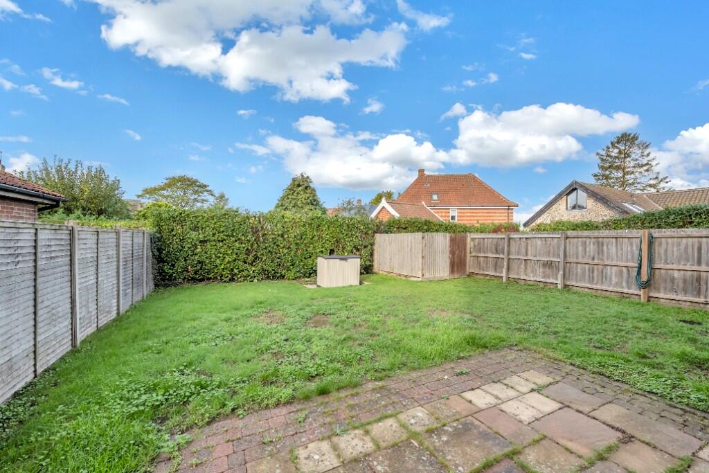
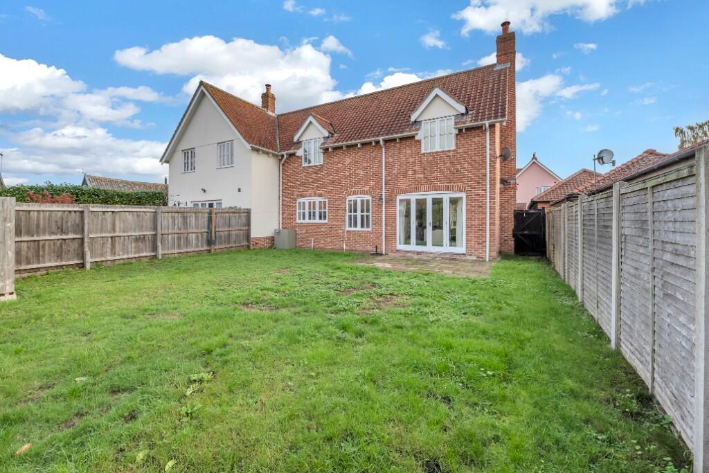
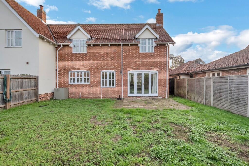
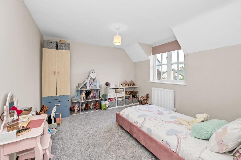
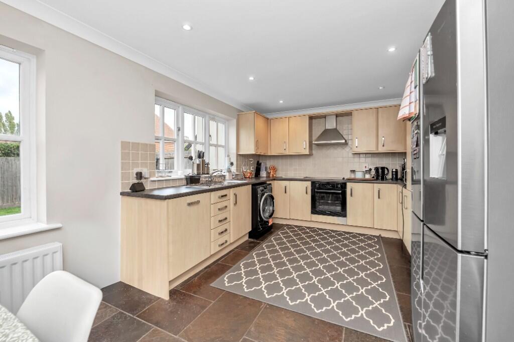
Spacious semi detached house situated on this charming four plot development with garage and parking.
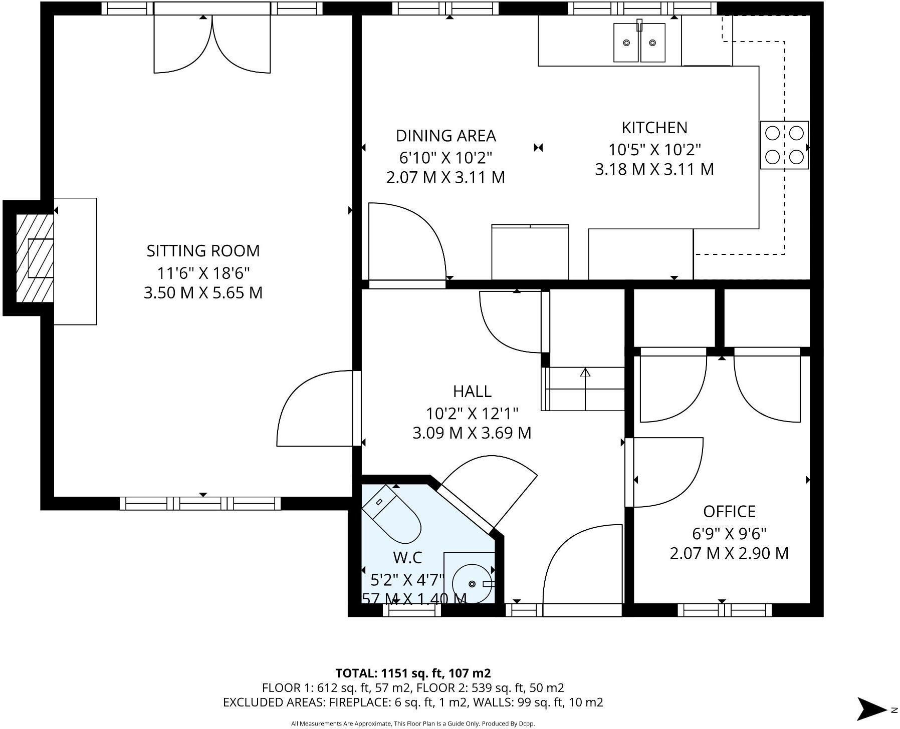
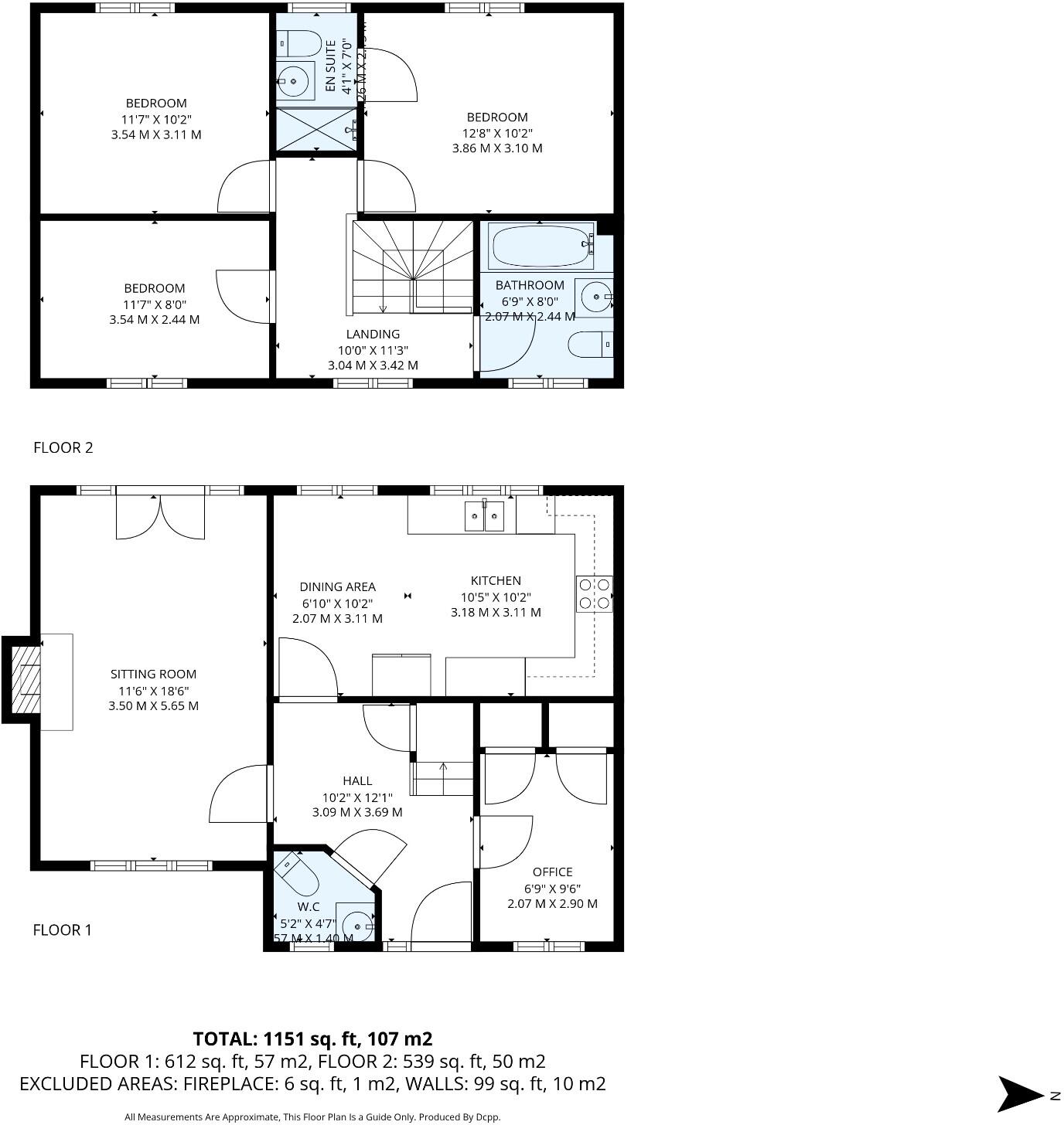
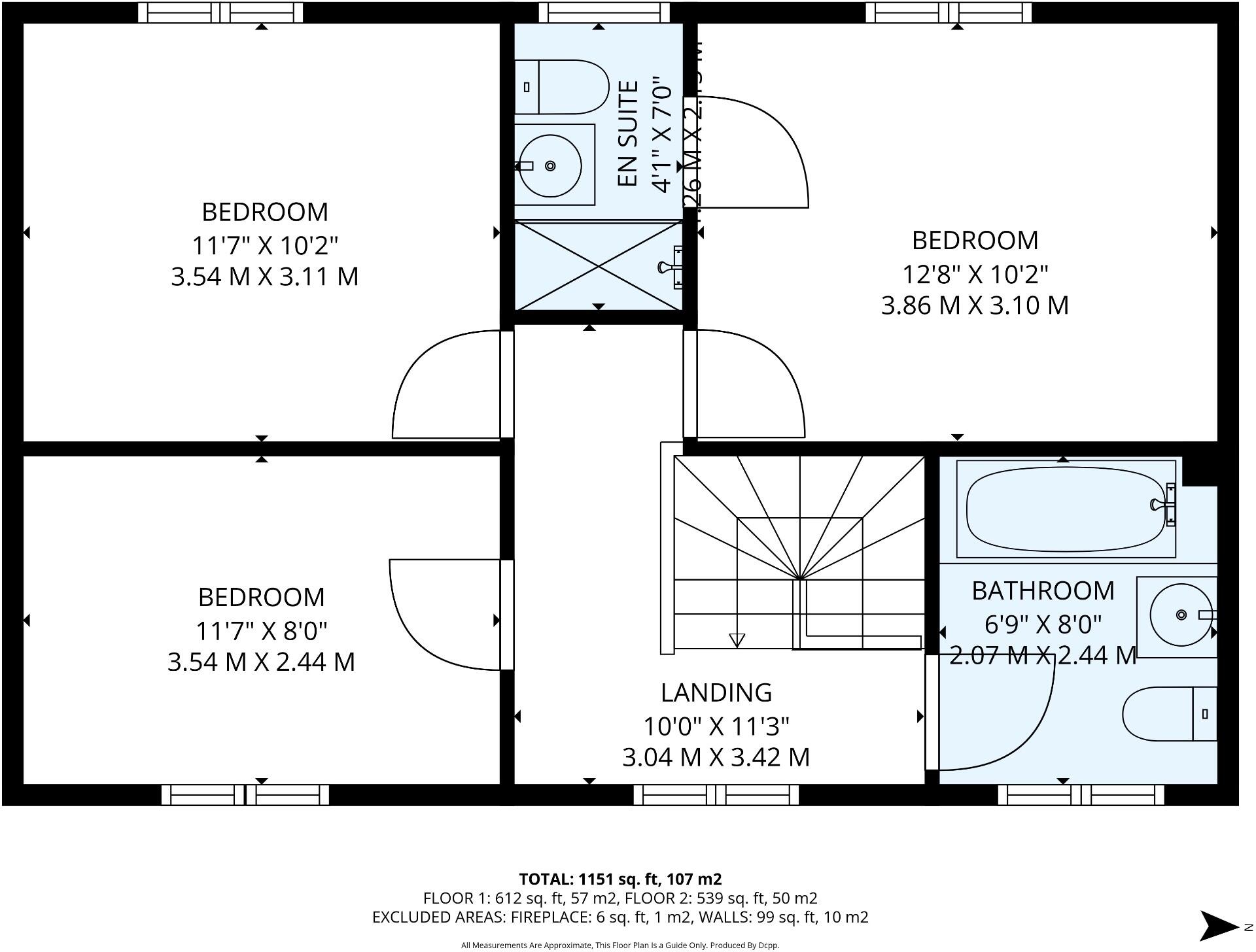
- Bedrooms
- 3
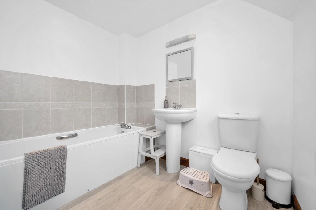
- Bathrooms
- 2
The heatmap indicates the level of crime in the area. The color of the heatmap indicates the crime severity and recency.
Metrics Year-on-Year
- Average area value
- 418,571.00 £Decreased by 7.66 %
- Average area rental value
- 1,600.00 £/moIncreased by 55.19 %
- Est rental Yield
- 4.59 %Increased by 68.13 %
- Crime Rate
- 134.00 %Unchanged by 0.00 %
from 453,306.00 £
from 1,031.00 £/mo
from 2.73 %
from 134.00 %
Agent Activity
Map Letting & Property Management created the listing.
Nearby Schools
| Name | Type | Ofsted | Distance |
|---|---|---|---|
| Norton Cevc Primary School | Voluntary Controlled School | Outstanding | 0.23 KM |
| Thurston Church Of England Primary Academy | Academy Converter | Good | 0.29 KM |
| Woolpit Primary Academy | Academy Converter | Requires improvement | 4.97 KM |
| Ixworth Church Of England Primary School | Academy Sponsor Led | 5.74 KM | |
| Set Ixworth School | Free Schools | Good | 5.83 KM |
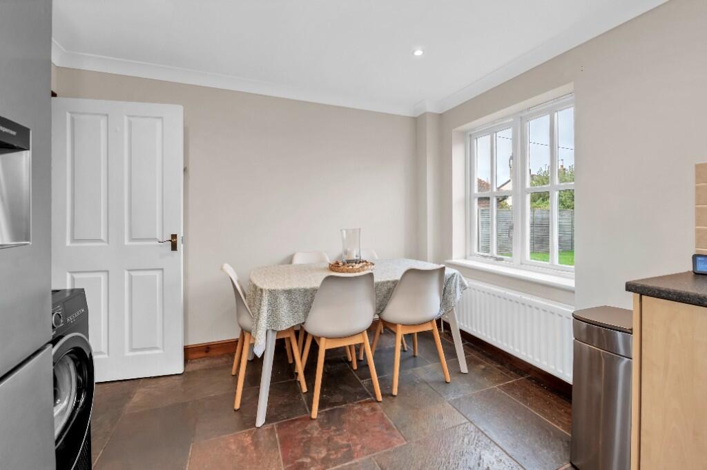
Images


Nearby Streets
| Name | Average Price | Average Sqft | Distance |
|---|---|---|---|
| School Close | £ 0 | 0 | 0.00 KM |
| Jubilee Close | £ 0 | 0 | 0.00 KM |
| Hawe's Lane | £ 525,000 | 0 | 0.00 KM |
| Everetts Way | £ 390,000 | 0 | 0.00 KM |
Nearby Transport
| Name | NLC | TLC | Distance |
|---|---|---|---|
| Elmswell | 7349 | ESW | 5.49 KM |
| Thurston | 7356 | TRS | 6.40 KM |
Nearby Listings
| Address | Price | Type | Score | Distance |
|---|---|---|---|---|
| Ixworth Road, IP31 | £ 1,550 | RENT | Unknown | 0.00 KM |
| The Street, Norton, Bury St. Edmunds | £ 1,500 | RENT | Unknown | 0.42 KM |
| Ashfield Road, Norton, Bury St. Edmunds | £ 2,250 | RENT | Unknown | 1.07 KM |
| Ashfield Road, Norton, Bury St. Edmunds | £ 2,550 | RENT | Unknown | 1.07 KM |
Nearby Properties
| Address | Price | Distance |
|---|---|---|
| Durham Lodge | £ 410,000 | 0.00 KM |
| Larkwood Cottage | £ 500,000 | 0.00 KM |
| Phoenix House | £ 335,000 | 0.00 KM |
| Westlyn | £ 182,500 | 0.00 KM |
| Marley House | £ 350,000 | 0.00 KM |