
HA
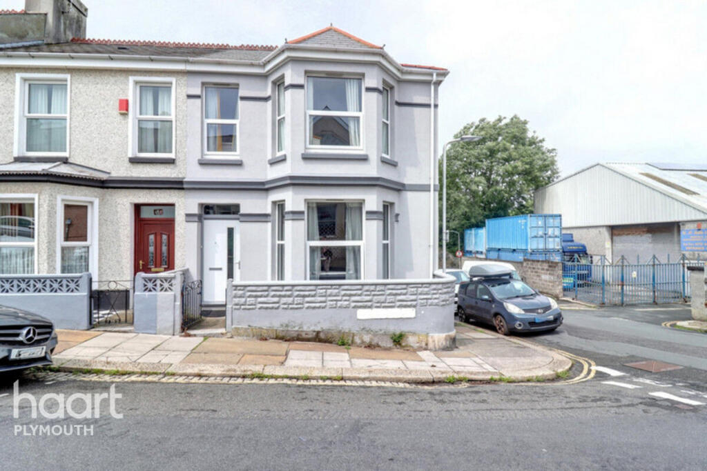
Desborough Road, Plymouth
By haart
£ 475
haart says ..
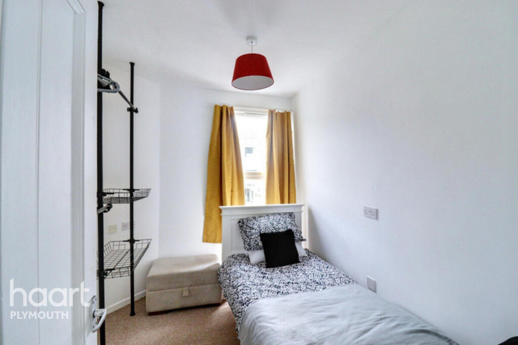
Comfortable Single Room in Sociable Shared Home
- Bedrooms
- 1
- Bathrooms
- 2
The heatmap indicates the level of crime in the area. The color of the heatmap indicates the crime severity and recency.
Metrics Year-on-Year
- Average area value
- 253,125.00 £Increased by 15.55 %
- Average area rental value
- 741.00 £/moIncreased by 14.88 %
- Est rental Yield
- 3.51 %Decreased by 0.57 %
- Crime Rate
- 9.00 %Unchanged by 0.00 %
from 219,067.00 £
from 645.00 £/mo
from 3.53 %
from 9.00 %
Agent Activity
haart created the listing.
Nearby Schools
| Name | Type | Ofsted | Distance |
|---|---|---|---|
| Salisbury Road Primary School | Academy Converter | Requires improvement | 0.49 KM |
| Prince Rock Primary School | Academy Converter | 0.53 KM | |
| Nomony Children'S Centre | Children's Centre | 0.77 KM | |
| Lipson Vale Primary School | Community School | Good | 1.01 KM |
| Lipson Co-Operative Academy | Academy Converter | Requires improvement | 1.01 KM |
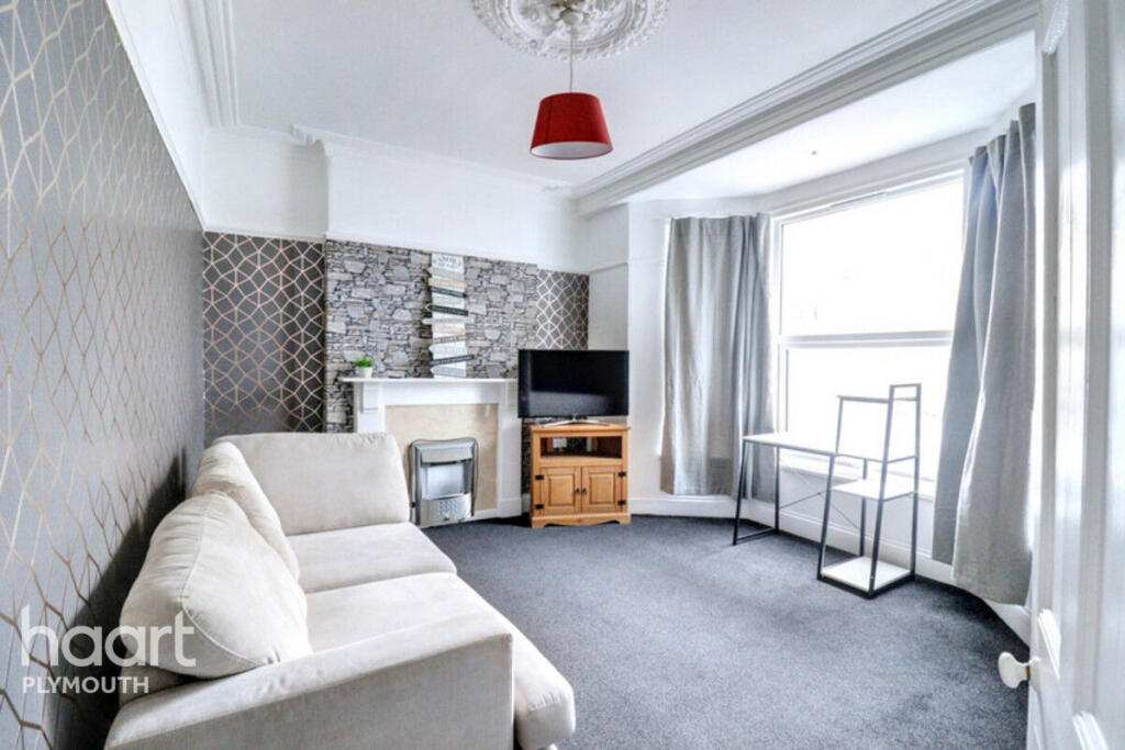
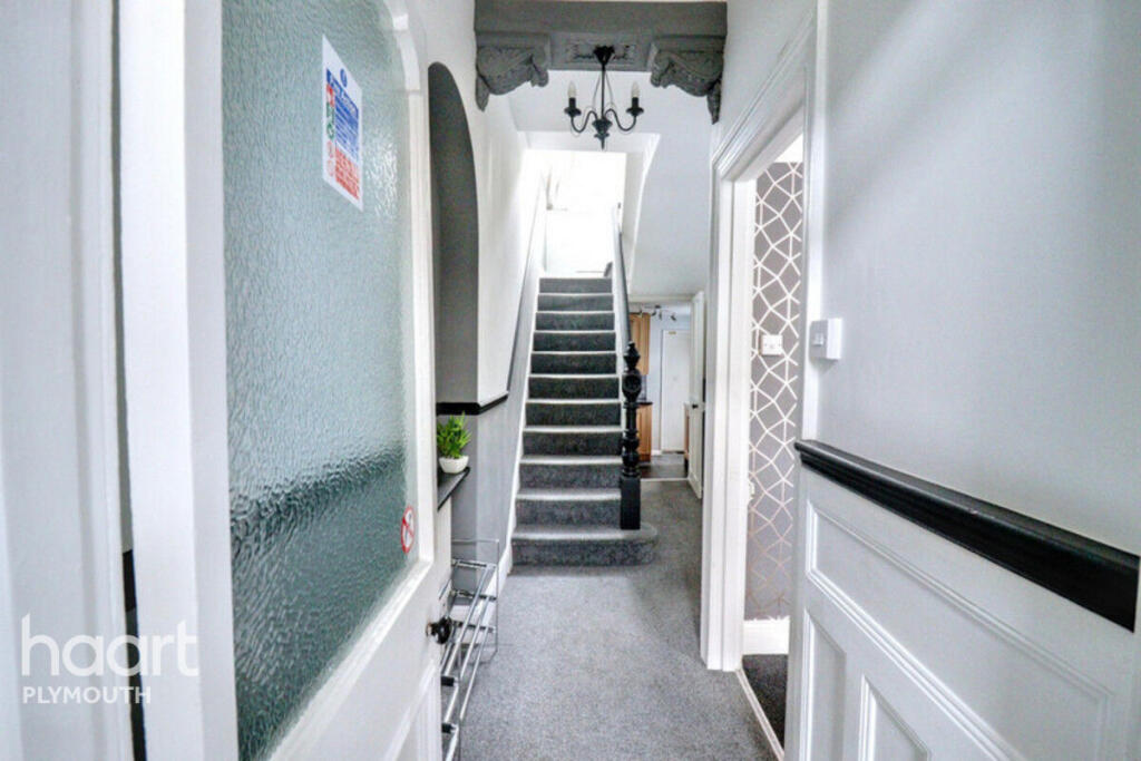
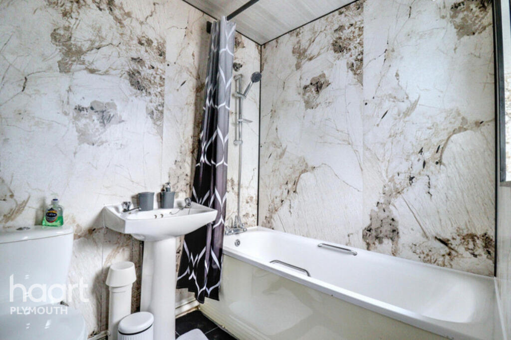
Images
Nearby Streets
| Name | Average Price | Average Sqft | Distance |
|---|---|---|---|
| Bulmer Road | £ 0 | 0 | 0.00 KM |
| Cleveland Road | £ 200,000 | 0 | 0.00 KM |
| Eric Road | £ 0 | 0 | 0.00 KM |
| Egerton Place | £ 0 | 0 | 0.00 KM |
| St Dunstan's Terrace | £ 0 | 0 | 0.00 KM |
Nearby Transport
| Name | NLC | TLC | Distance |
|---|---|---|---|
| Plymouth | 3580 | PLY | 2.57 KM |
| Devonport | 3579 | DPT | 5.57 KM |
| Dockyard (Devonport) | 3588 | DOC | 6.20 KM |
| Keyham | 3571 | KEY | 6.80 KM |
| St Budeaux Ferry Road | 3590 | SBF | 7.99 KM |
Nearby Listings
| Address | Price | Type | Score | Distance |
|---|---|---|---|---|
| Desborough Road, Plymouth | £ 475 | RENT | Unknown | 0.00 KM |
| Desborough Road, Plymouth | £ 1,800 | RENT | Unknown | 0.01 KM |
| Park View, Knighton Road, St Judes | £ 850 | RENT | Unknown | 0.08 KM |
| Knighton Road, Plymouth, PL4 | £ 1,300 | RENT | Unknown | 0.10 KM |
| Grenville Road, St. Judes | £ 1,400 | RENT | Unknown | 0.11 KM |
Nearby Properties
| Address | Price | Distance |
|---|---|---|
| 100 Desborough Road | £ 132,000 | 0.05 KM |
| 118 Desborough Road | £ 151,000 | 0.05 KM |
| 57 Desborough Road | £ 200,000 | 0.05 KM |
| 59 Desborough Road | £ 160,000 | 0.05 KM |
| 116 Desborough Road | £ 209,000 | 0.05 KM |