
KE
Ravenswood Road, Sunderland, Tyne And Wear, SR5
By Key4Lets LTD
£ 525
Key4Lets LTD says ..
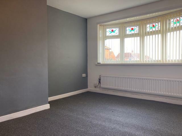
2 bed semi detached home
- Bedrooms
- 2
- Bathrooms
- 0
The heatmap indicates the level of crime in the area. The color of the heatmap indicates the crime severity and recency.
Metrics Year-on-Year
- Average area value
- 192,181.00 £Decreased by 18.82 %
- Average area rental value
- 853.00 £/moIncreased by 2.65 %
- Est rental Yield
- 5.33 %Increased by 26.60 %
- Crime Rate
- 19.00 %Unchanged by 0.00 %
from 236,735.00 £
from 831.00 £/mo
from 4.21 %
from 19.00 %
Agent Activity
Key4Lets LTD created the listing.
Nearby Schools
| Name | Type | Ofsted | Distance |
|---|---|---|---|
| Harry Watts Academy | Free Schools Special | 0.34 KM | |
| Northern Saints Cofe Voluntary Aided Primary School | Voluntary Aided School | Good | 0.85 KM |
| Hylton Red House Nursery School | Local Authority Nursery School | Outstanding | 0.90 KM |
| Sunderland Children'S Centre Bunny Hill | Children's Centre Linked Site | 1.05 KM | |
| Sunderland Children'S Centre North | Children's Centre | 1.05 KM |
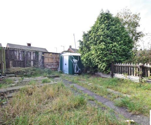
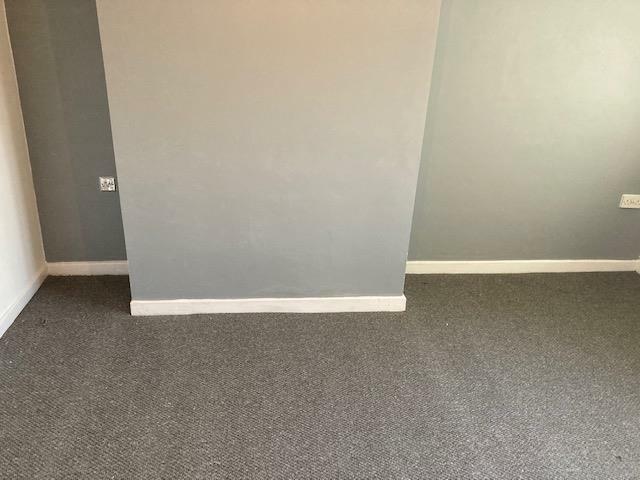
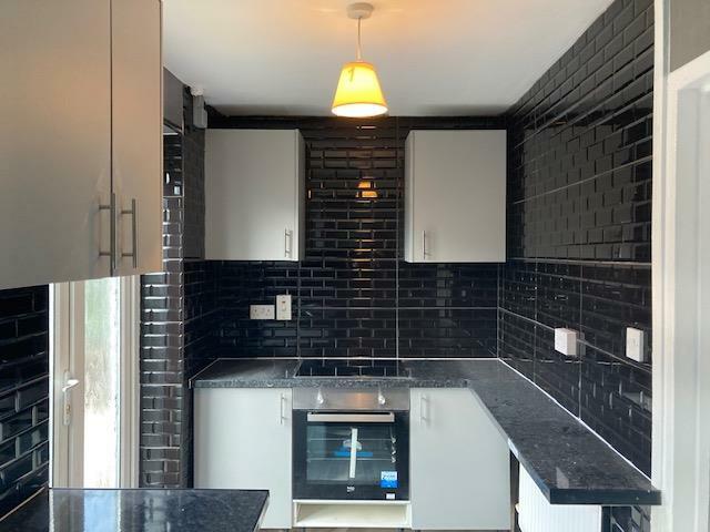
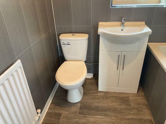
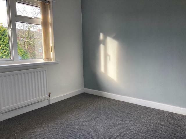
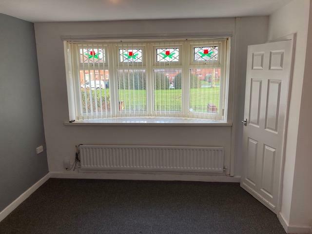
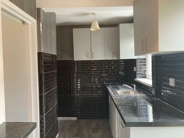
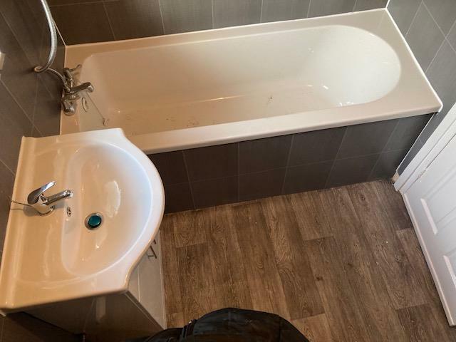
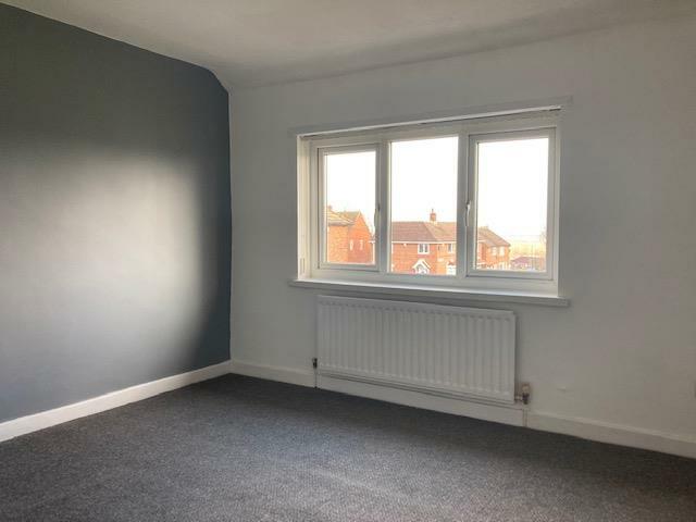
Images

Nearby Streets
| Name | Average Price | Average Sqft | Distance |
|---|---|---|---|
| Revelstoke Road | £ 0 | 0 | 0.00 KM |
| Kentchester Road | £ 0 | 0 | 0.00 KM |
| Redhill Road | £ 80,000 | 0 | 0.00 KM |
| Dene Park | £ 0 | 0 | 0.00 KM |
| Sherbourne Road | £ 129,995 | 0 | 0.00 KM |
Nearby Transport
| Name | NLC | TLC | Distance |
|---|---|---|---|
| Sunderland | 7640 | SUN | 6.50 KM |
Nearby Listings
| Address | Price | Type | Score | Distance |
|---|---|---|---|---|
| Rannoch Road, Sunderland, SR5 | £ 725 | RENT | Unknown | 0.17 KM |
| Rotherfield Square, Redhouse, Sunderland | £ 695 | RENT | Unknown | 0.24 KM |
| Redesdale Road, Redhouse, Sunderland | £ 775 | RENT | Unknown | 0.26 KM |
| Rotherfield Square, Redhouse, Sunderland | £ 800 | RENT | Unknown | 0.27 KM |
| Rotherfield Square, Redhouse, Sunderland | £ 800 | RENT | Unknown | 0.27 KM |
Nearby Properties
| Address | Price | Distance |
|---|---|---|
| 154 Ravenswood Road | £ 82,000 | 0.00 KM |
| 142 Ravenswood Road | £ 61,500 | 0.00 KM |
| 138 Ravenswood Road | £ 75,000 | 0.00 KM |
| 150 Ravenswood Road | £ 80,000 | 0.00 KM |
| 152 Ravenswood Road | £ 92,500 | 0.00 KM |