LA
High Street, Lewes
By Lampon Lets
£ 1,450
Lampon Lets says ..
LETTING PROPERTY PROPERLY
- Bedrooms
- 3
- Bathrooms
- 2
The heatmap indicates the level of crime in the area. The color of the heatmap indicates the crime severity and recency.
Metrics Year-on-Year
- Average area value
- 357,295.00 £Decreased by 32.83 %
- Average area rental value
- 1,215.00 £/moDecreased by 30.29 %
- Est rental Yield
- 4.08 %Increased by 3.82 %
- Crime Rate
- 42.00 %Unchanged by 0.00 %
from 531,897.00 £
from 1,743.00 £/mo
from 3.93 %
from 42.00 %
Agent Activity
Lampon Lets created the listing.
Nearby Schools
| Name | Type | Ofsted | Distance |
|---|---|---|---|
| Priory School | Foundation School | Good | 0.70 KM |
| Lewes Old Grammar School | Other Independent School | 0.81 KM | |
| Lewes Children'S Centre | Children's Centre | 0.84 KM | |
| Western Road Community Primary School | Foundation School | Good | 0.94 KM |
| Southover Cofe Primary School | Voluntary Controlled School | Good | 0.94 KM |
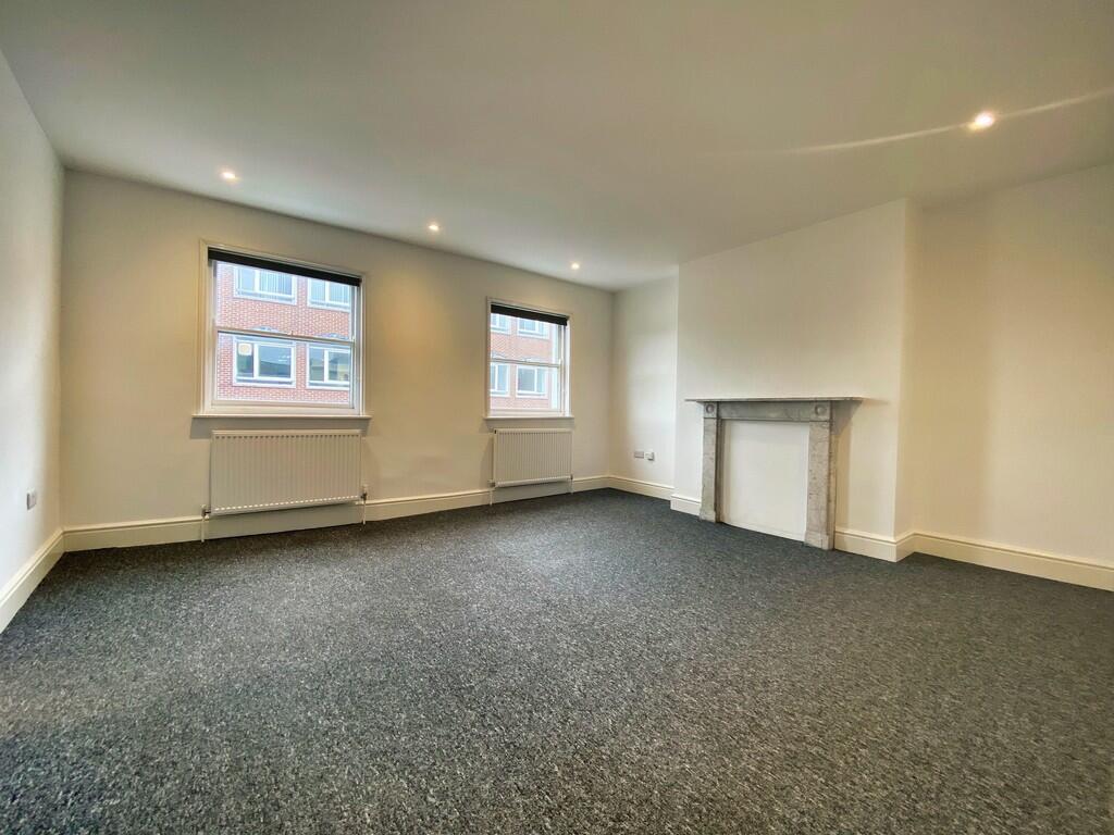
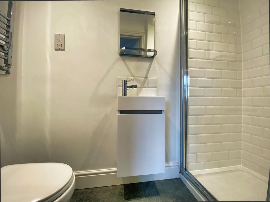
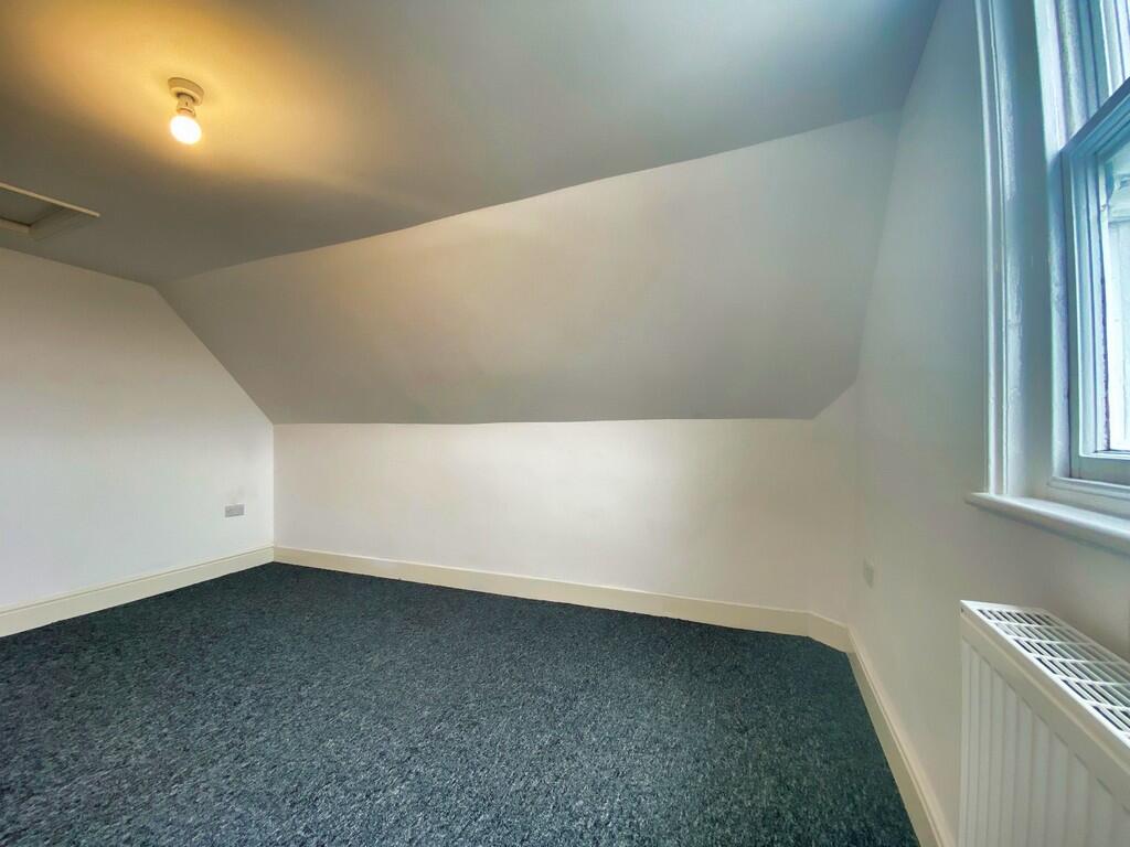
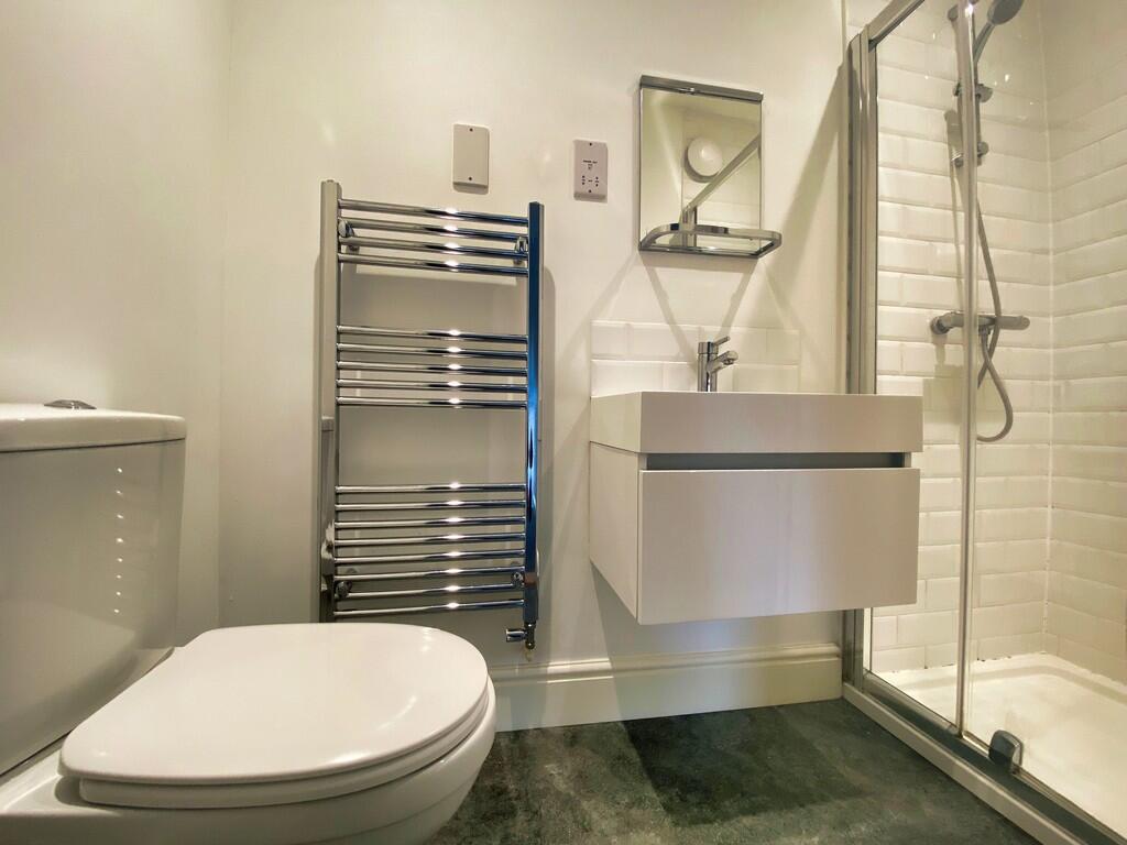
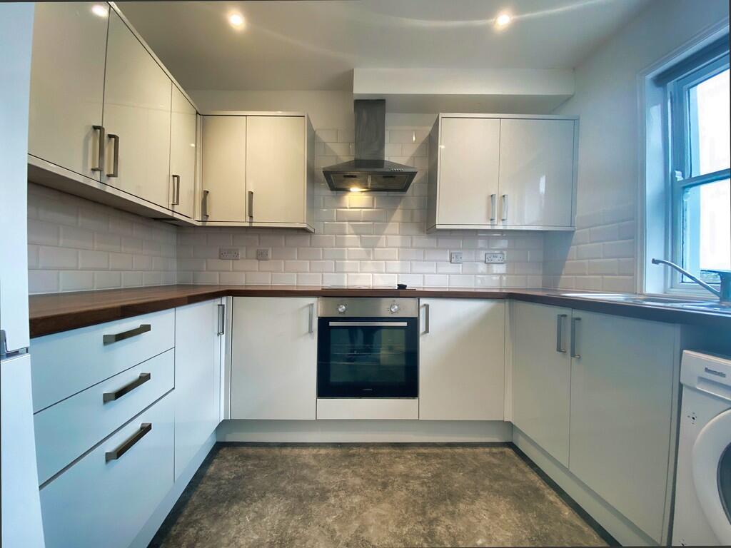
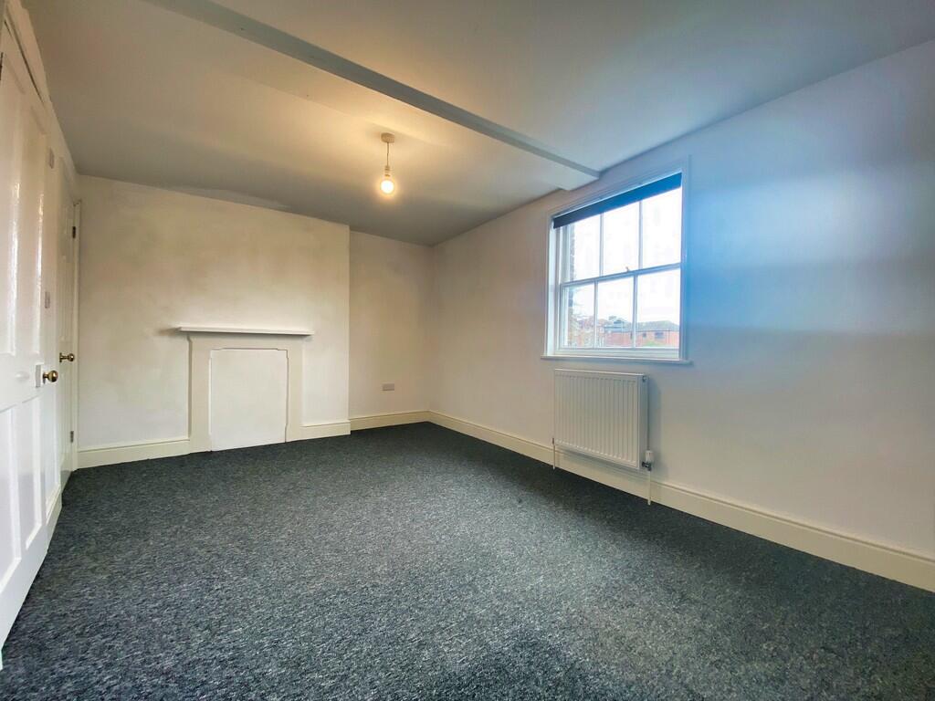
Images


Nearby Streets
| Name | Average Price | Average Sqft | Distance |
|---|---|---|---|
| Saint Nicholas Lane | £ 0 | 0 | 0.00 KM |
| Marlborough Place | £ 0 | 0 | 0.00 KM |
| Saint John Street | £ 0 | 0 | 0.00 KM |
| Wellington Street | £ 0 | 0 | 0.00 KM |
| St John Street | £ 740,000 | 0 | 0.00 KM |
Nearby Transport
| Name | NLC | TLC | Distance |
|---|---|---|---|
| Lewes | 5329 | LWS | 0.34 KM |
| Cooksbridge | 5336 | CBR | 4.08 KM |
| Southease | 5339 | SEE | 5.16 KM |
| Glynde | 5338 | GLY | 6.64 KM |
| Newhaven Town | 5331 | NVN | 9.98 KM |
Nearby Listings
| Address | Price | Type | Score | Distance |
|---|---|---|---|---|
| 197 High Street, Lewes, East Sussex, BN7 | £ 1,095 | RENT | Unknown | 0.03 KM |
| High Street, Lewes, East Sussex, BN7 | £ 995 | RENT | Unknown | 0.03 KM |
| High Street, Lewes | £ 1,100 | RENT | Unknown | 0.04 KM |
| St. Nicholas Lane, Lewes, East Sussex, BN7 | £ 525 | RENT | Unknown | 0.13 KM |
| Albion House, Albion Street, Lewes | £ 1,550 | RENT | Unknown | 0.14 KM |
Nearby Properties
| Address | Price | Distance |
|---|---|---|
| 37 High Street | £ 281,250 | 0.03 KM |
| 23a High Street | £ 210,000 | 0.03 KM |
| 41a High Street | £ 690,000 | 0.03 KM |
| 6 Market Street | £ 390,000 | 0.06 KM |
| 8 Market Street | £ 525,000 | 0.08 KM |