HA
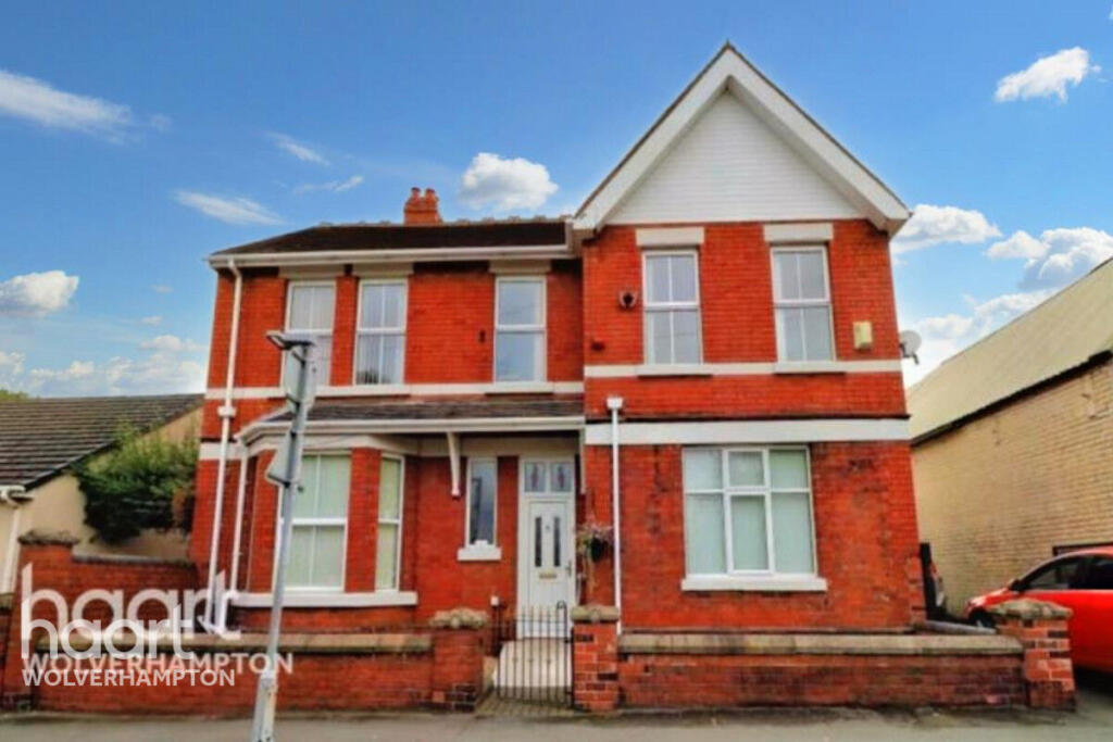
Stafford Road, Telford
By haart
£ 525
haart says ..
**NO DEPOSIT OPTION AVAILABLE** Excellent room inclusive of bills
- Bedrooms
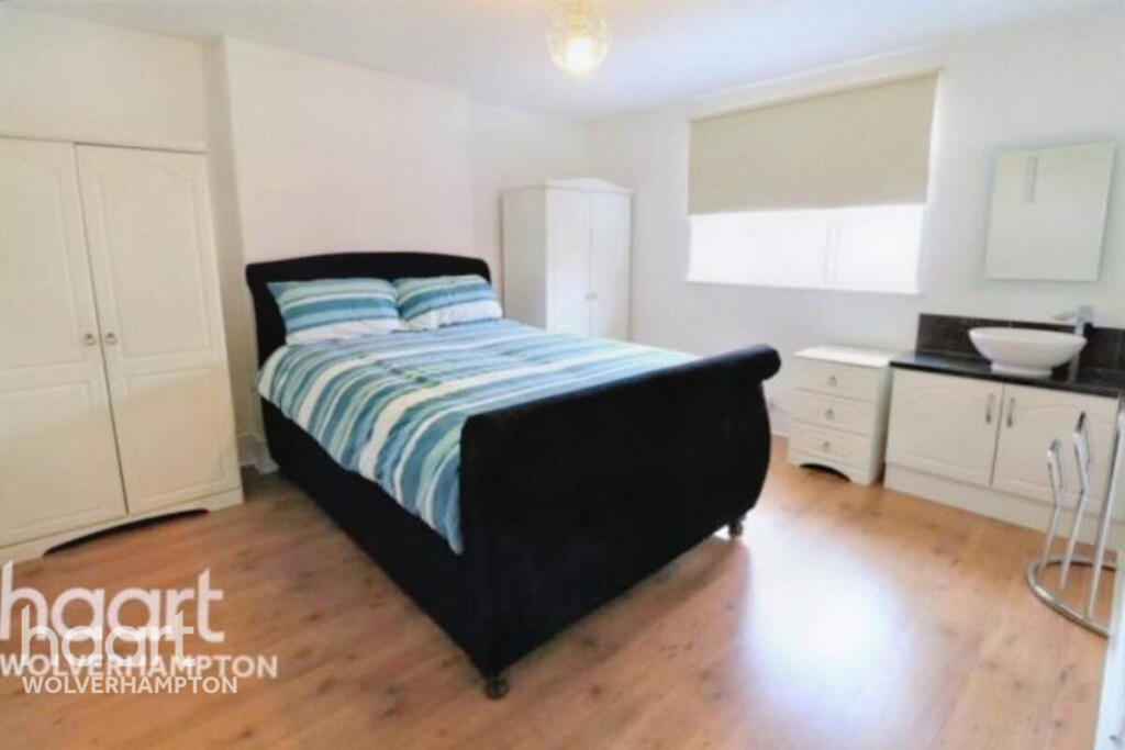
- 1
- Bathrooms
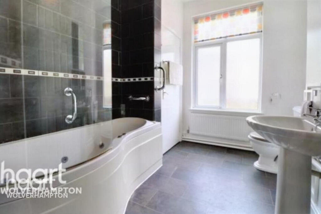
- 1
The heatmap indicates the level of crime in the area. The color of the heatmap indicates the crime severity and recency.
Metrics Year-on-Year
- Average area value
- 281,250.00 £Increased by 19.10 %
- Average area rental value
- 920.00 £/moIncreased by 6.36 %
- Est rental Yield
- 3.93 %Decreased by 10.68 %
- Crime Rate
- 21.00 %Unchanged by 0.00 %
from 236,138.00 £
from 865.00 £/mo
from 4.40 %
from 21.00 %
Agent Activity
haart created the listing.
Nearby Schools
| Name | Type | Ofsted | Distance |
|---|---|---|---|
| Oakengates Nursery School | Local Authority Nursery School | Good | 0.15 KM |
| The Wakes - Oakengates Children Centre | Children's Centre | 0.15 KM | |
| Linked Site To The Wakes - Oakengates | Children's Centre Linked Site | 0.16 KM | |
| Wombridge Primary School | Community School | Good | 0.84 KM |
| The Telford Priory School | Academy Sponsor Led | Requires improvement | 1.14 KM |
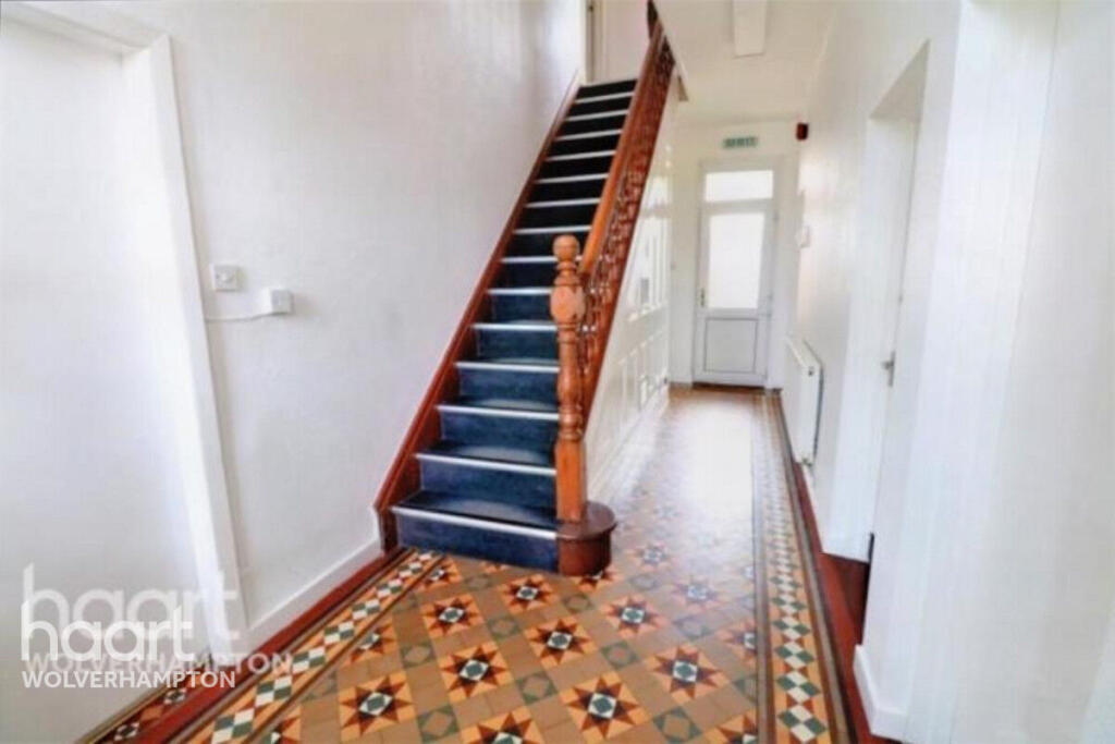
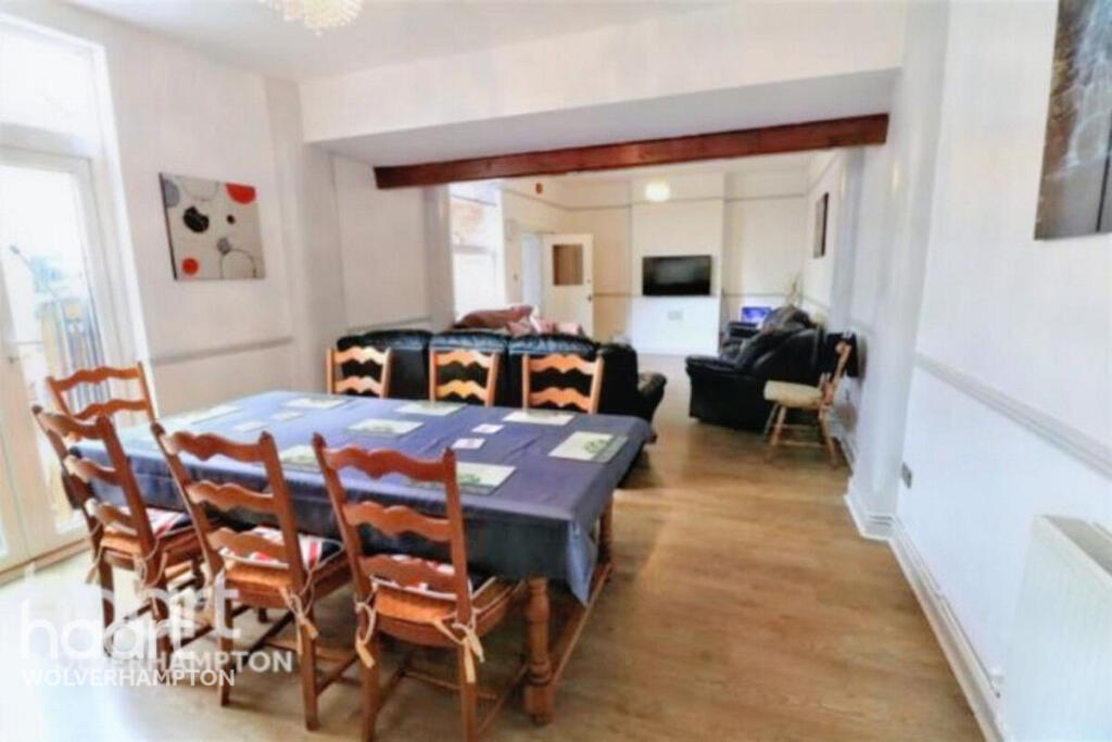
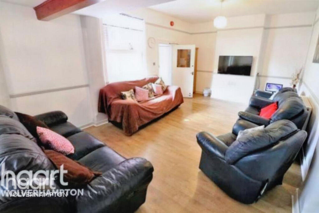
Images
Nearby Streets
| Name | Average Price | Average Sqft | Distance |
|---|---|---|---|
| Loading Area A | £ 0 | 0 | 0.00 KM |
| Buttery Grove | £ 0 | 0 | 0.00 KM |
| Kensington Way | £ 0 | 0 | 0.00 KM |
| Queensway | £ 0 | 0 | 0.00 KM |
| Bowling Green Close | £ 0 | 0 | 0.00 KM |
Nearby Transport
| Name | NLC | TLC | Distance |
|---|---|---|---|
| Oakengates | 4689 | OKN | 0.37 KM |
| Telford Central | 4691 | TFC | 2.00 KM |
| Wellington (Shropshire) | 4690 | WLN | 7.45 KM |
| Shifnal | 4619 | SFN | 9.29 KM |
Nearby Listings
| Address | Price | Type | Score | Distance |
|---|---|---|---|---|
| Stafford Road, Telford | £ 525 | RENT | Unknown | 0.00 KM |
| Stafford Road, Oakengates, Telford | £ 850 | RENT | Unknown | 0.09 KM |
| Slaney Street, Oakengates, TF2 | £ 850 | RENT | Unknown | 0.16 KM |
| OAKENGATES | £ 650 | RENT | Unknown | 0.24 KM |
| OAKENGATES | £ 650 | RENT | Unknown | 0.24 KM |
Nearby Properties
| Address | Price | Distance |
|---|---|---|
| 31 Stafford Road | £ 110,000 | 0.06 KM |
| 23 Stafford Road | £ 120,000 | 0.06 KM |
| 27 Stafford Road | £ 125,000 | 0.06 KM |
| 35 Stafford Road | £ 65,500 | 0.06 KM |
| 33 Stafford Road | £ 60,000 | 0.06 KM |