AN
Mayfield Tops, Ashfield Lane, Milnrow OL16 4EW
By Andrew Kelly
£ 500,000
Reviews
3 out of 5 stars
Andrew Kelly says ..
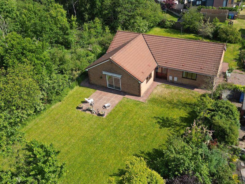
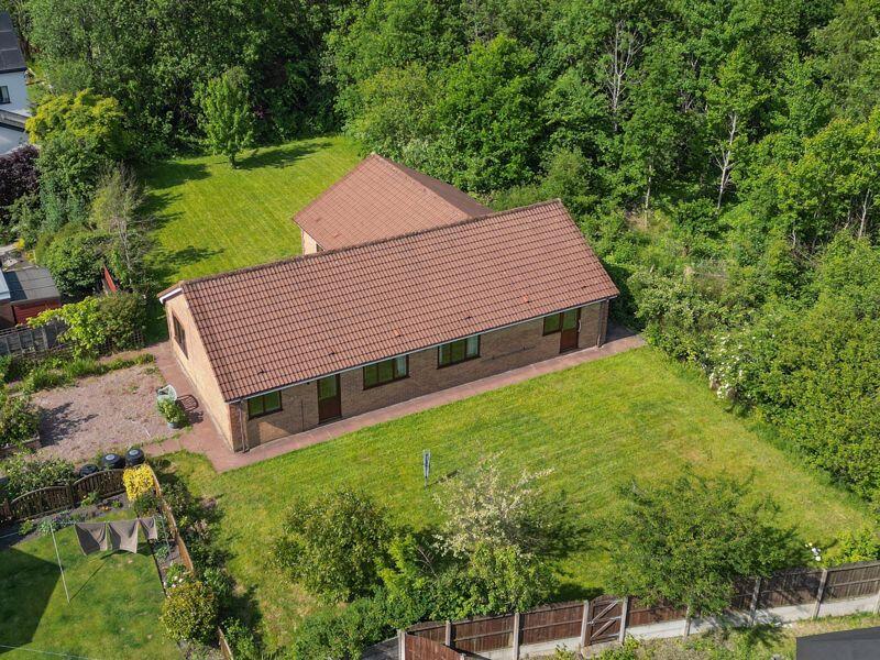
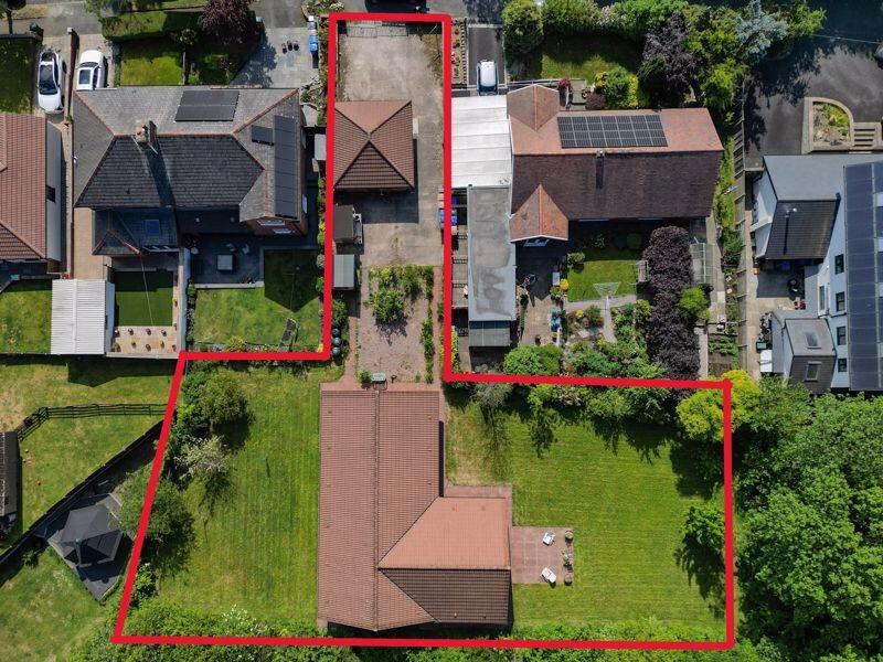
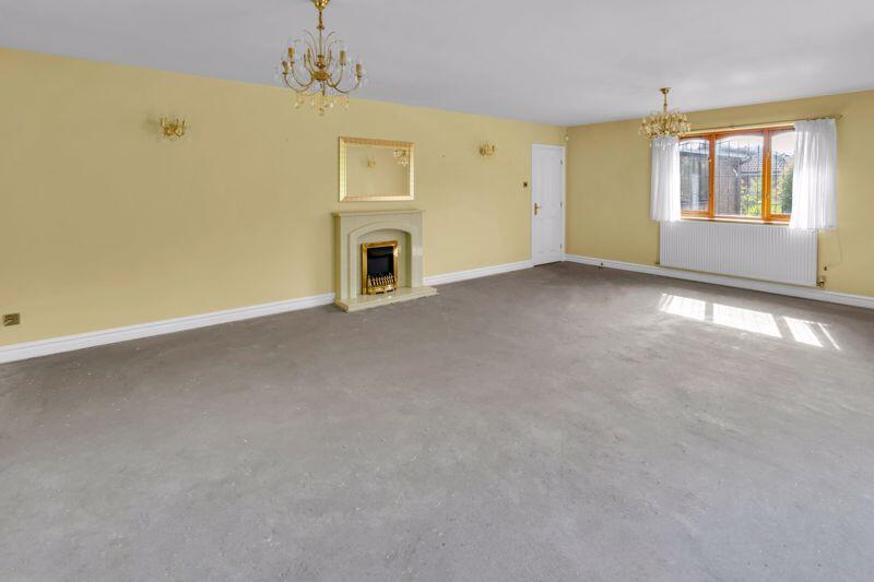
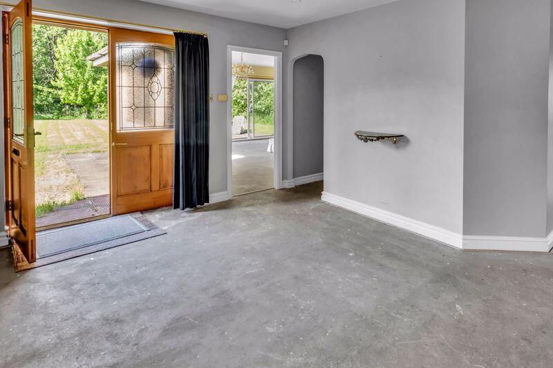
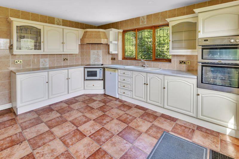
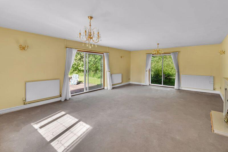
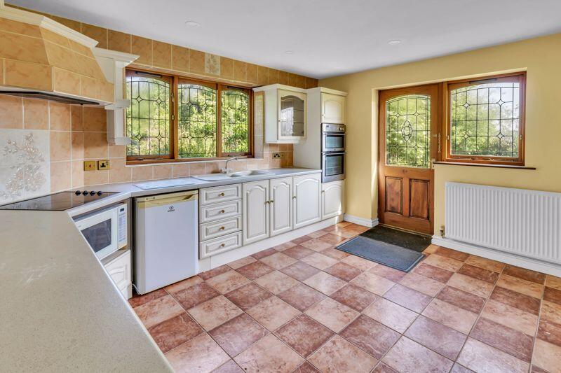
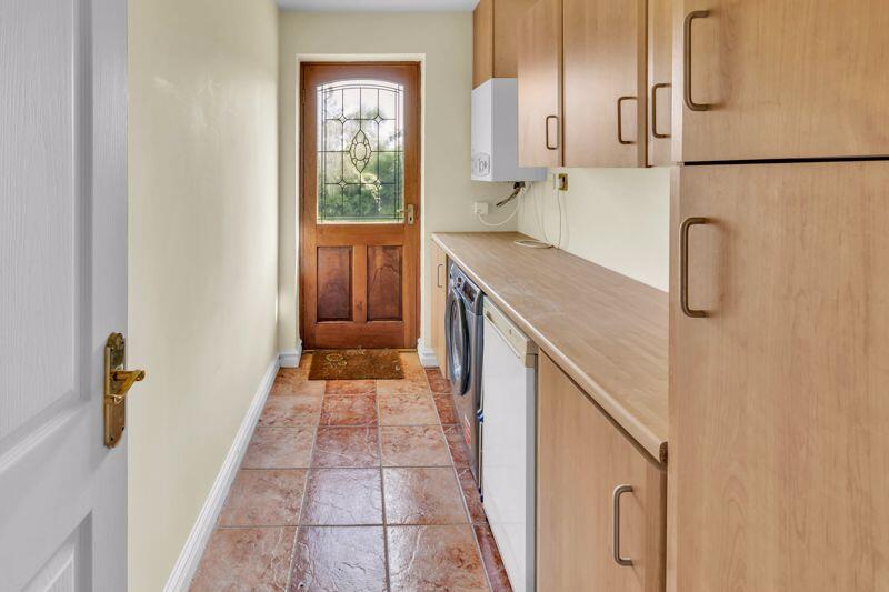
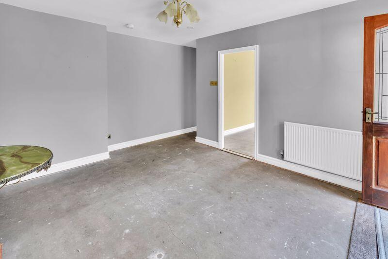
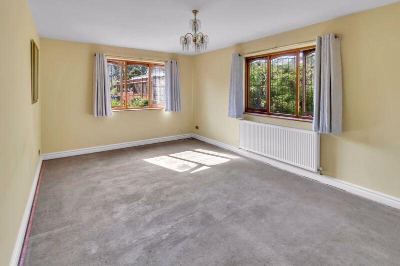
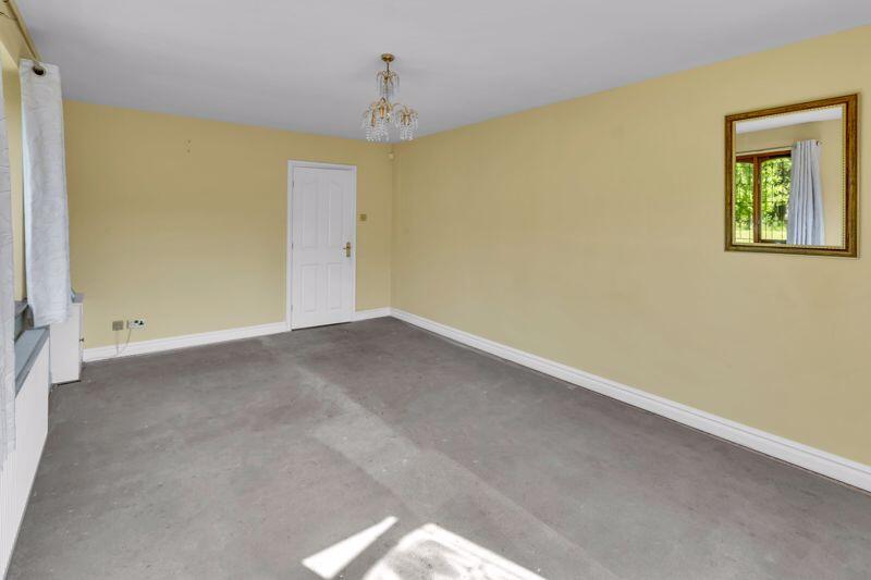
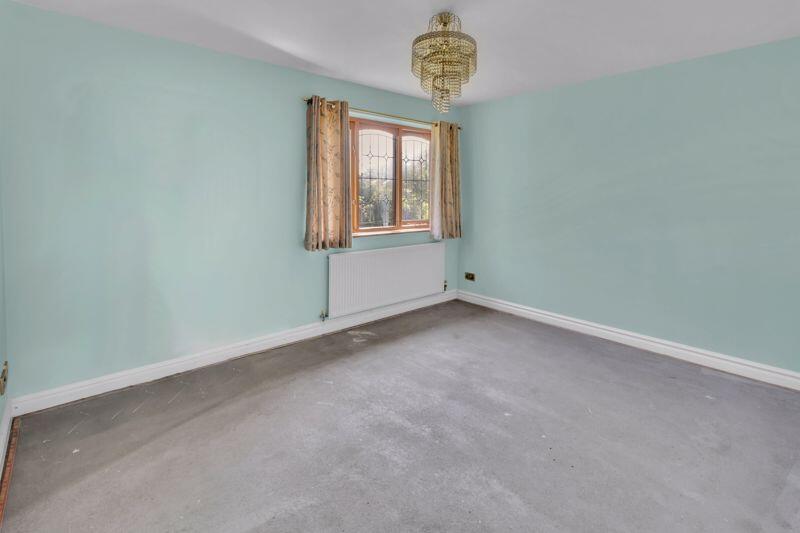
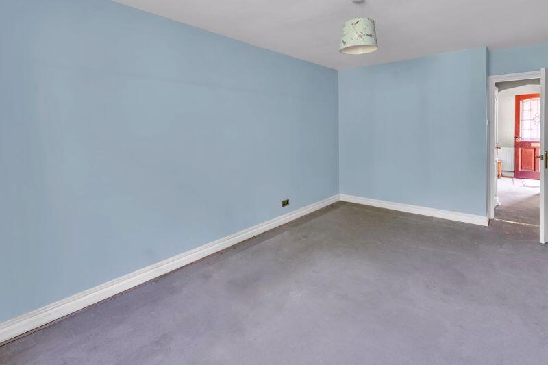
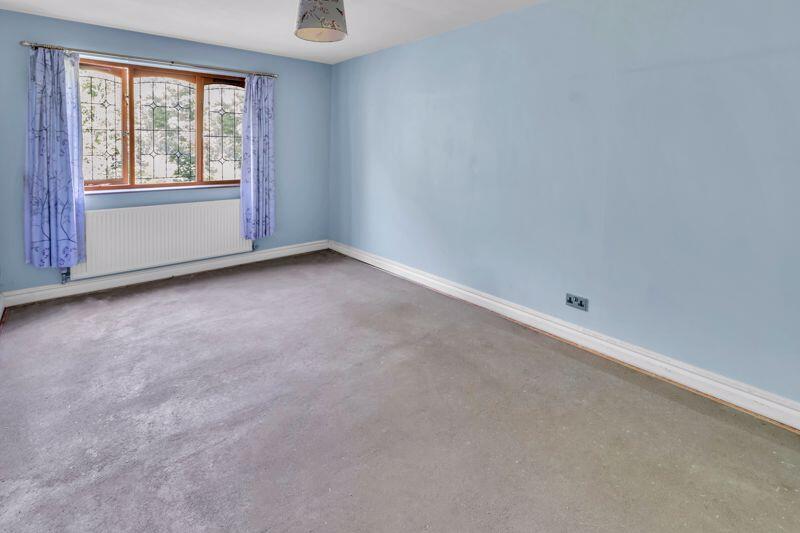
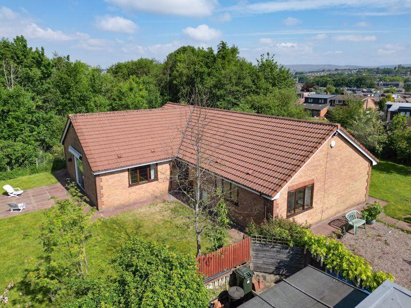
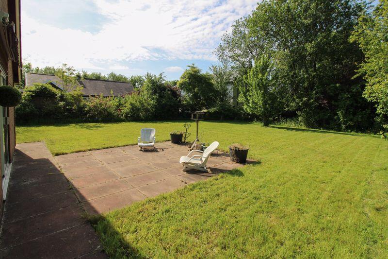
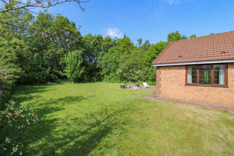
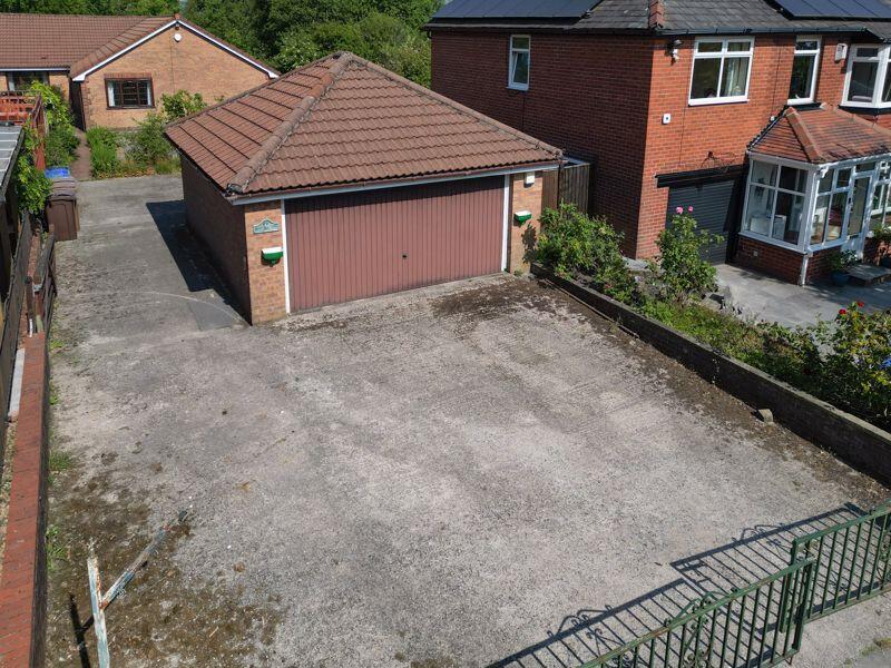
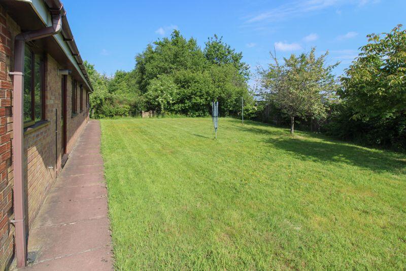
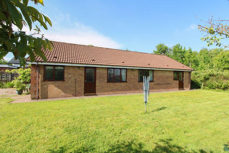
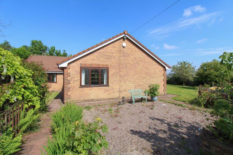
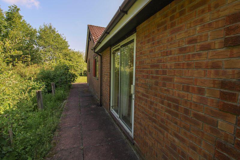
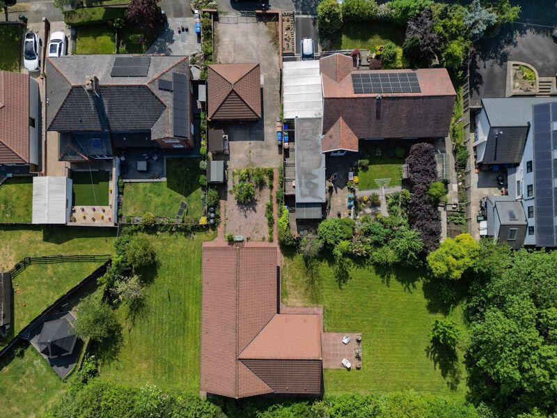
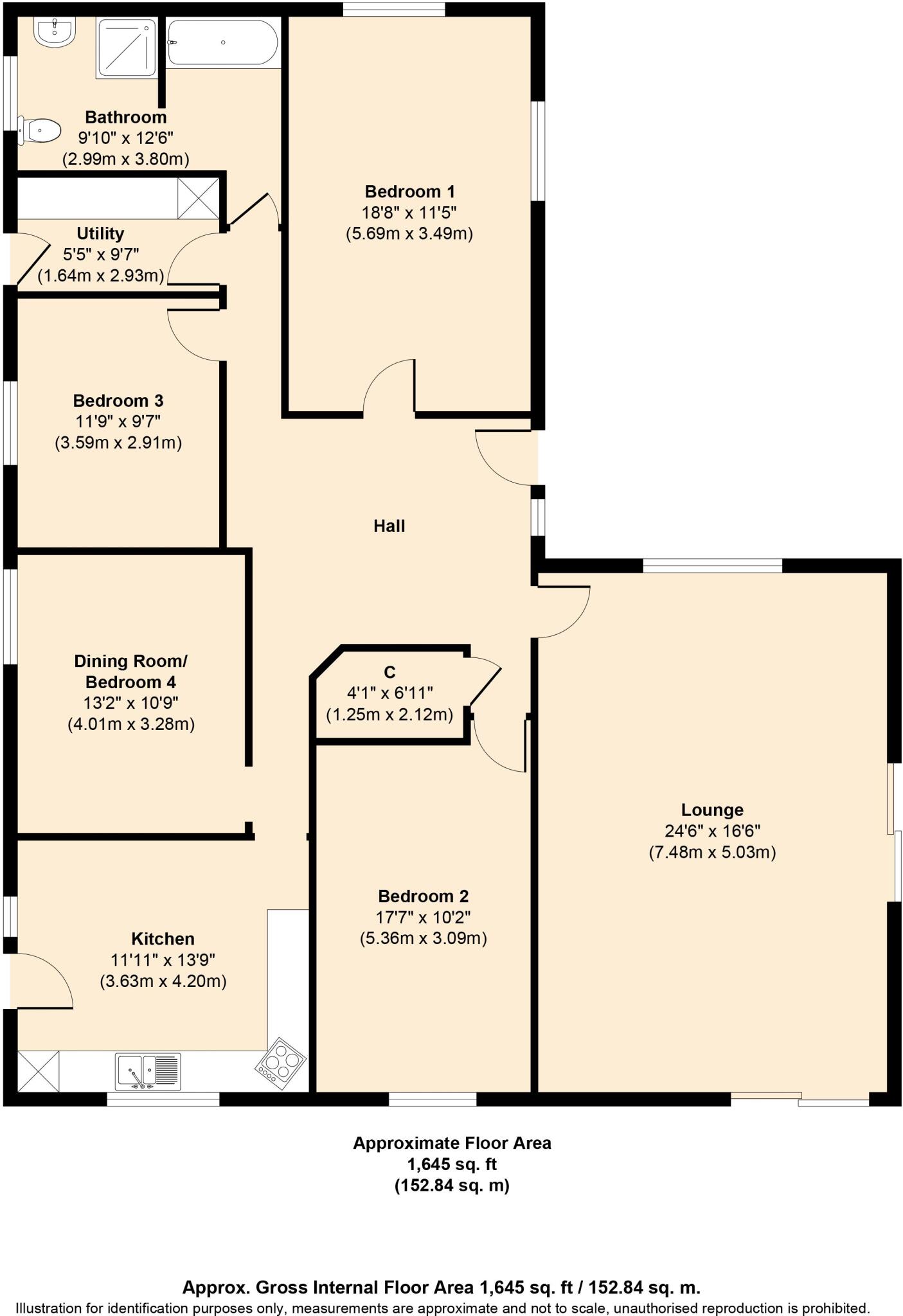
MAYFIELD TOPS IS AN IDIVIDUALLY DESIGNED DETACHED TRUE BUNGALOW and offered for sale with NO UPWARD CHAIN. The property occupies a large private plot in a quiet semi-rural location and has tremendous potential to become a forever home offering spacious accommodation throughout. This well-appoint...
Property Oracle says ..
Therefore, we give this property 6 / 10. *Disclaimer: This is our option and does constitute a recommendation or financial advice. Do your own research. *
- Price
- 7
- Condition
- 4
- Location
- 7
- Land
- 8
- Bedrooms
- 4
- Bathrooms
- 1
- Sqft (est)
- 1,425.76
The heatmap indicates the level of crime in the area. The color of the heatmap indicates the crime severity and recency.
Metrics Year-on-Year
- Average area value
- 474,167.00 £Increased by 95.33 %
- Est sale value
- 903,931.84 £Increased by 196.26 %
- Average area rental value
- 909.00 £/moDecreased by 0.66 %
- Est letting value
- 1,425.76 £/mo
- Est rental Yield
- 2.30 %Decreased by 49.12 %
- Crime Rate
- 24.00 %Unchanged by 0.00 %
from 242,756.00 £
from 305,112.64 £
from 915.00 £/mo
from 0.00 £/mo
from 4.52 %
from 24.00 %
Agent Activity
Andrew Kelly created the listing.
Nearby Schools
| Name | Type | Ofsted | Distance |
|---|---|---|---|
| Milnrow Parish Church Of England Primary School | Voluntary Aided School | Good | 0.94 KM |
| Moorhouse Centre | Children's Centre | 1.15 KM | |
| Newhey Community Primary School | Community School | Good | 1.16 KM |
| Hollingworth Academy | Academy Converter | 1.24 KM | |
| Moorhouse Academy | Academy Sponsor Led | 1.28 KM |
Images


Nearby Streets
| Name | Average Price | Average Sqft | Distance |
|---|---|---|---|
| Woodlands Road | £ 0 | 0 | 0.00 KM |
| Ladybarn Lane | £ 0 | 0 | 0.00 KM |
| Church Terrace | £ 140,000 | 0 | 0.00 KM |
| Furness Close | £ 0 | 0 | 0.00 KM |
| Highfield Road | £ 0 | 0 | 0.00 KM |
Nearby Transport
| Name | NLC | TLC | Distance |
|---|---|---|---|
| Smithy Bridge | 2660 | SMB | 3.32 KM |
| Rochdale | 2924 | RCD | 4.61 KM |
| Littleborough | 2661 | LTL | 4.82 KM |
| Castleton (Manchester) | 2919 | CAS | 7.39 KM |
| Mills Hill (Manchester) | 2920 | MIH | 8.73 KM |
Nearby Listings
| Address | Price | Type | Score | Distance |
|---|---|---|---|---|
| Mayfield Tops, Ashfield Lane, Milnrow OL16 4EW | £ 500,000 | BUY | 6 / 10 | 0.00 KM |
| Ashfield Lane, Rochdale, OL16 4EW | £ 275,000 | BUY | 7 / 10 | 0.00 KM |
| Egremont Road, Milnrow OL16 4EP | £ 260,000 | BUY | Unknown | 0.03 KM |
| Egremont Road, Milnrow, OL16 4EP | £ 240,000 | BUY | 7 / 10 | 0.03 KM |
| Egremont Road, Milnrow, Lancashire | £ 230,000 | BUY | Unknown | 0.03 KM |
Nearby Properties
| Address | Price | Distance |
|---|---|---|
| 14 Ashfield Lane | £ 121,500 | 0.01 KM |
| 58 Ashfield Lane | £ 157,500 | 0.01 KM |
| 28 Ashfield Lane | £ 73,000 | 0.01 KM |
| 24 Ashfield Lane | £ 150,000 | 0.01 KM |
| 68 Ashfield Lane | £ 250,000 | 0.01 KM |