HA
Queen Elizabeth Road, NUNEATON
By haart
£ 1,295
haart says ..
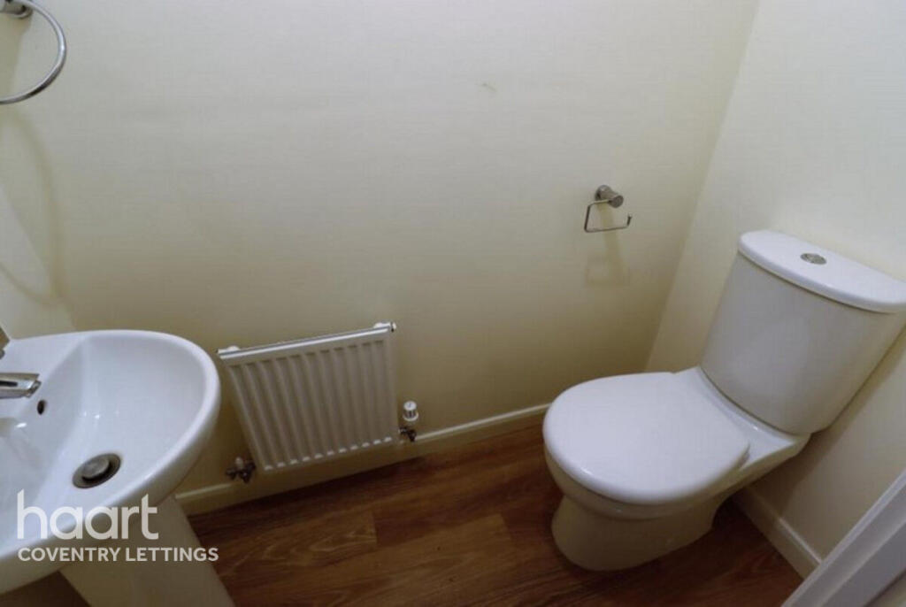
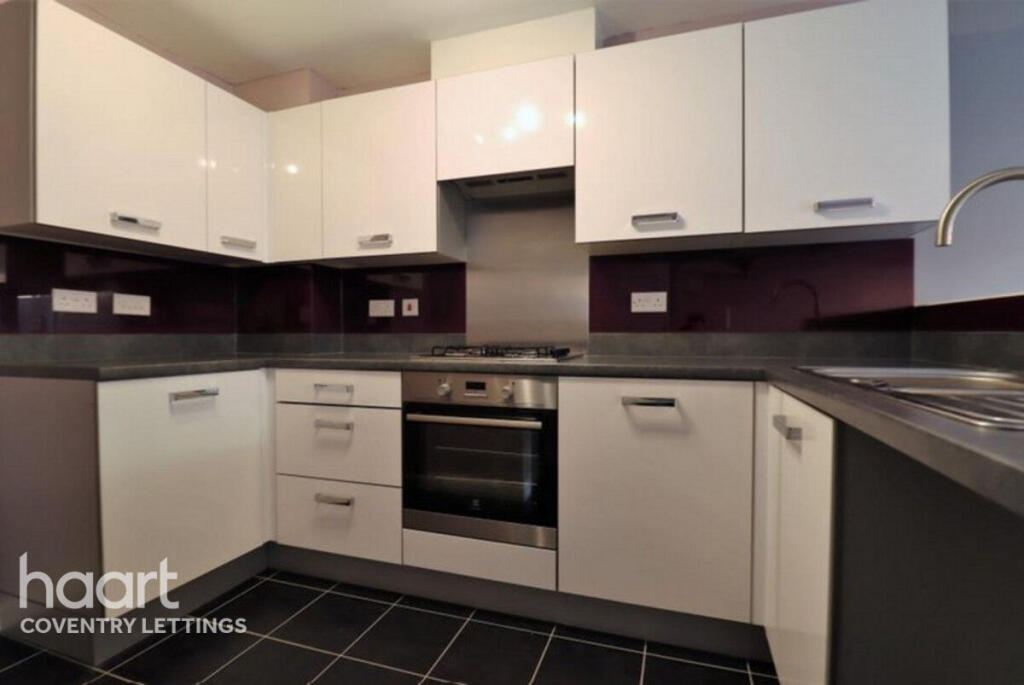
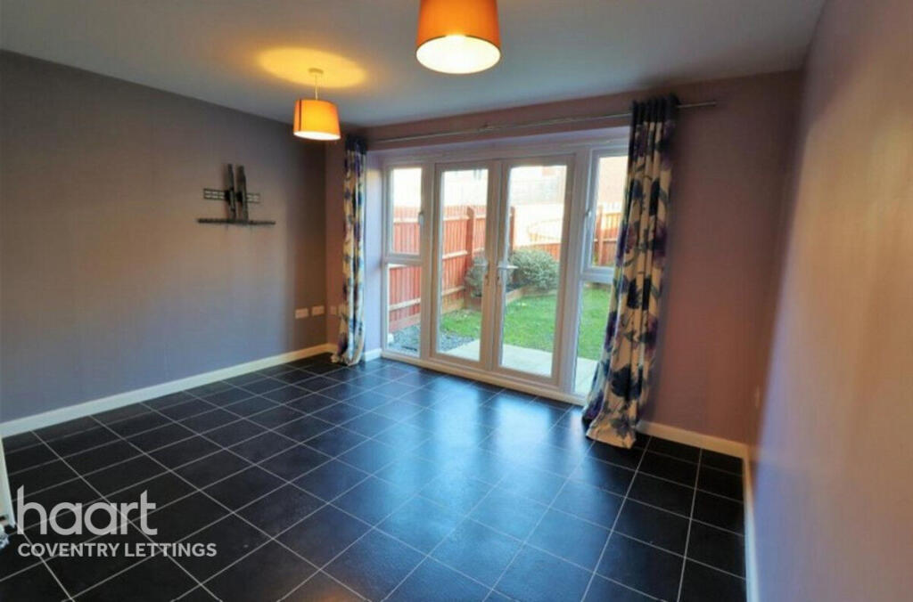
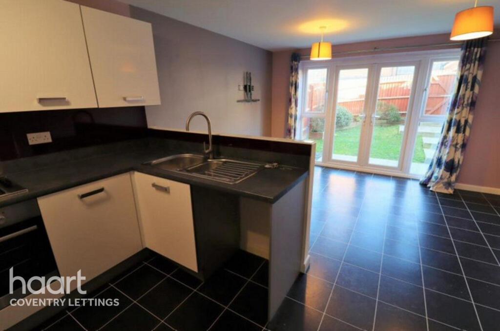
Three Bedroom Town House
- Bedrooms
- 3
- Bathrooms
- 2
The heatmap indicates the level of crime in the area. The color of the heatmap indicates the crime severity and recency.
Metrics Year-on-Year
- Average area value
- 411,094.00 £Increased by 15.33 %
- Average area rental value
- 1,035.00 £/moDecreased by 6.76 %
- Est rental Yield
- 3.02 %Decreased by 19.25 %
- Crime Rate
- 6.00 %Unchanged by 0.00 %
from 356,462.00 £
from 1,110.00 £/mo
from 3.74 %
from 6.00 %
Agent Activity
haart created the listing.
Nearby Schools
| Name | Type | Ofsted | Distance |
|---|---|---|---|
| St Anne'S Catholic Academy | Academy Sponsor Led | Requires improvement | 0.89 KM |
| Stockingford Early Years Centre Nuneaton | Children's Centre | 0.89 KM | |
| Stockingford Maintained Nursery School | Local Authority Nursery School | Good | 0.91 KM |
| Stockingford Academy | Academy Sponsor Led | 1.00 KM | |
| Camp Hill Children'S Centre | Children's Centre | 1.08 KM |
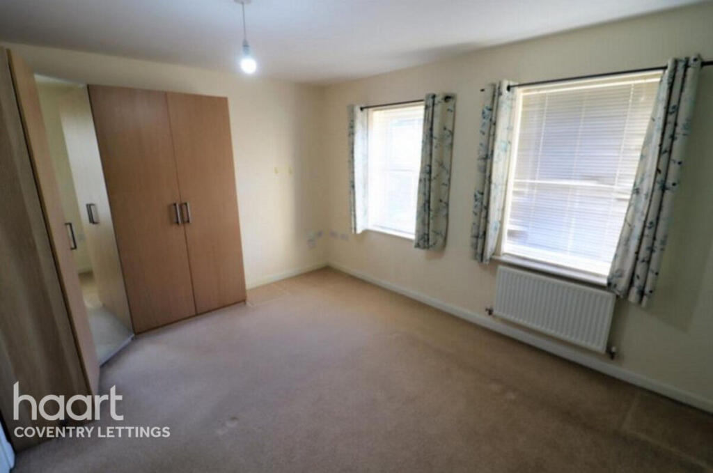
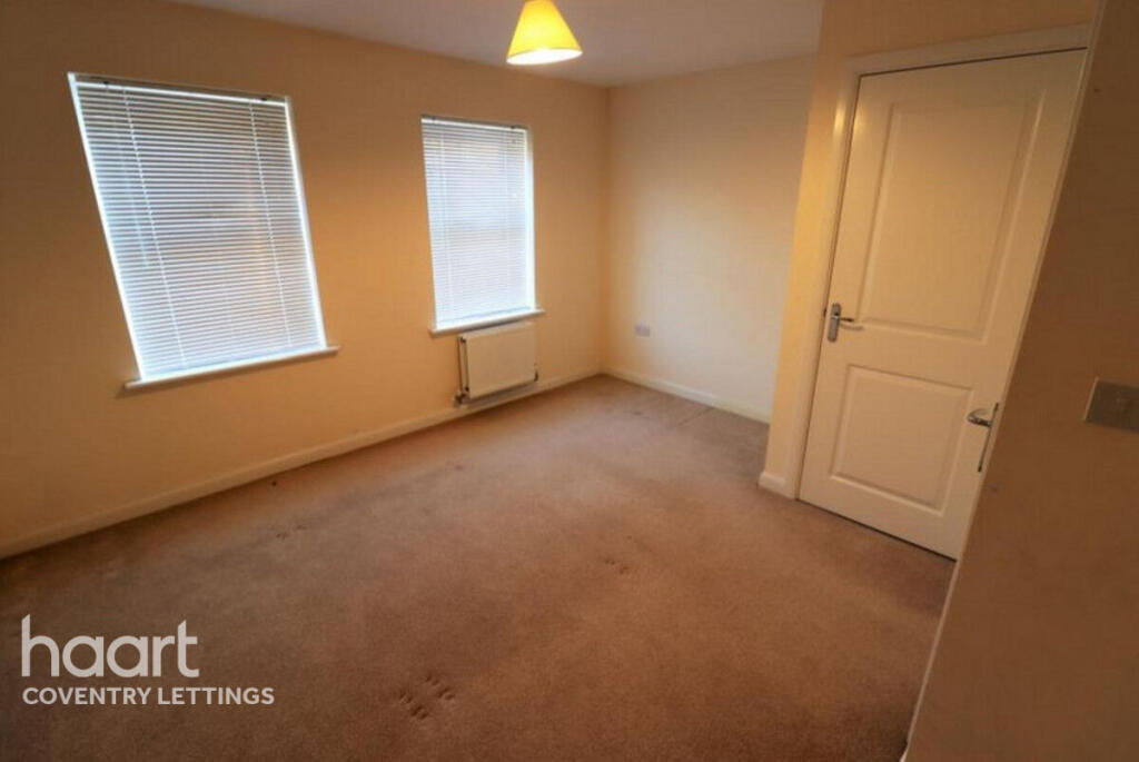
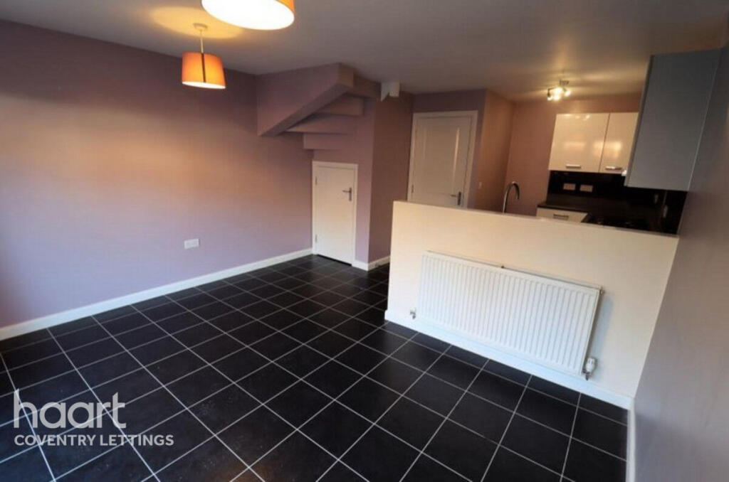
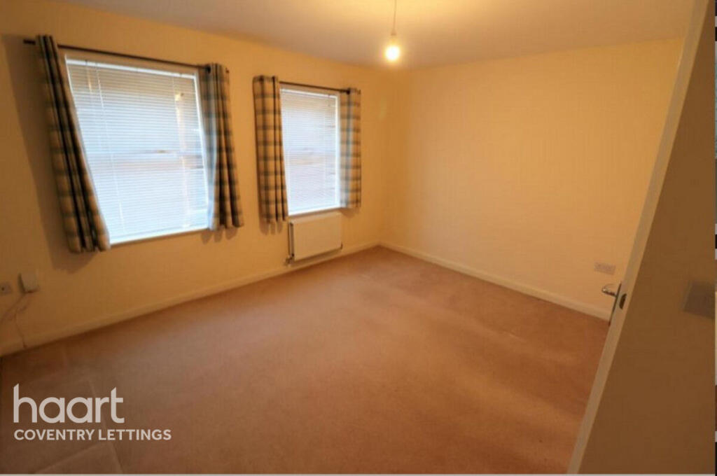
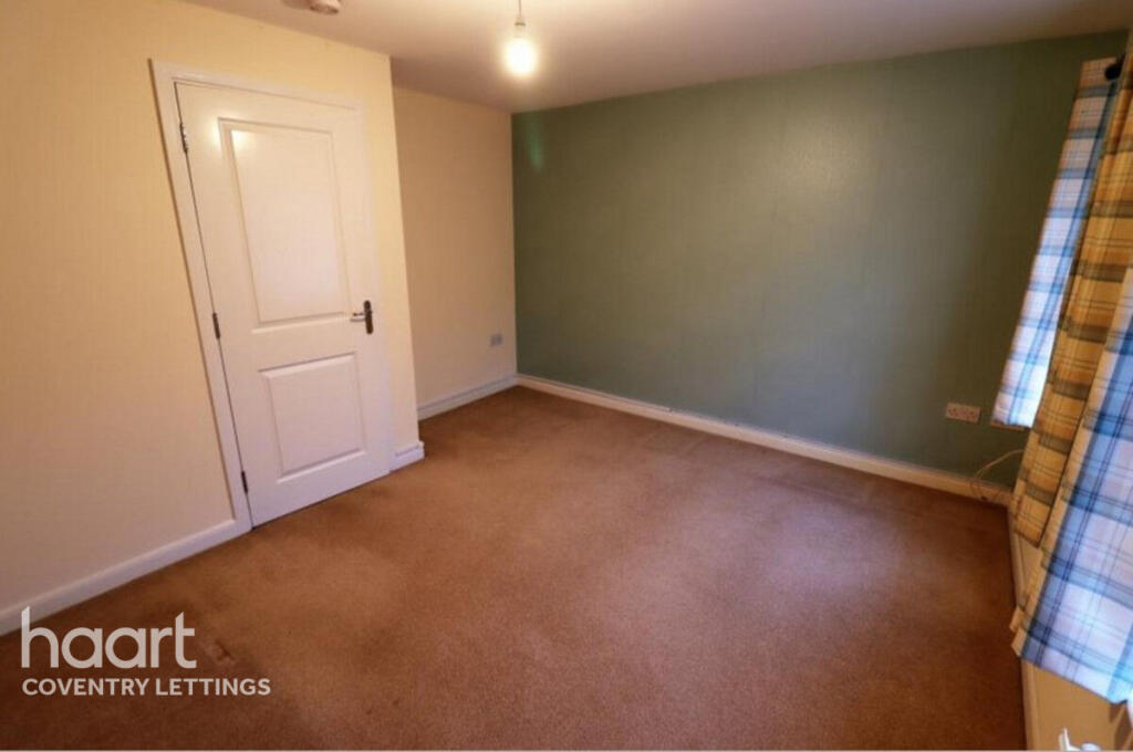
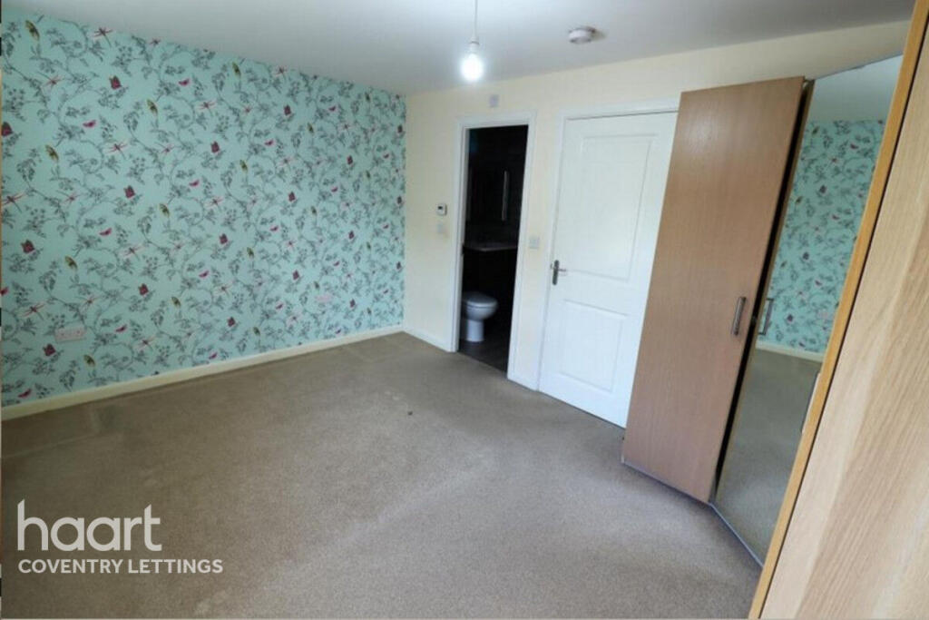
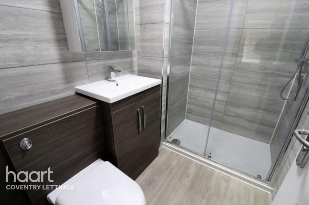
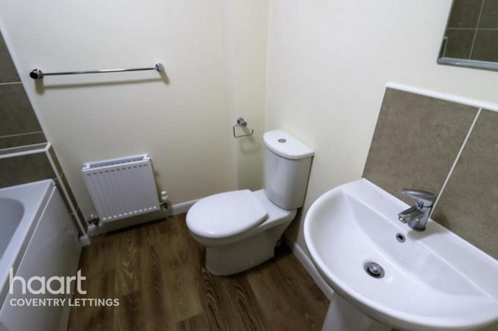
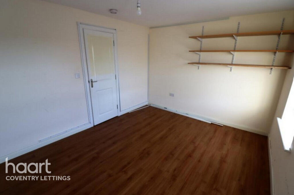
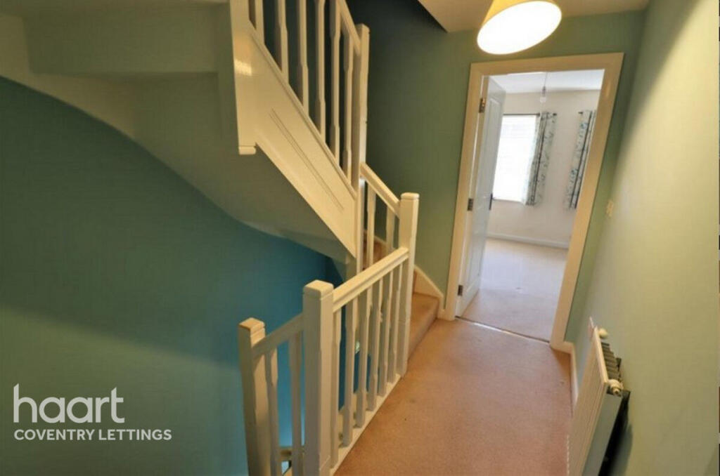
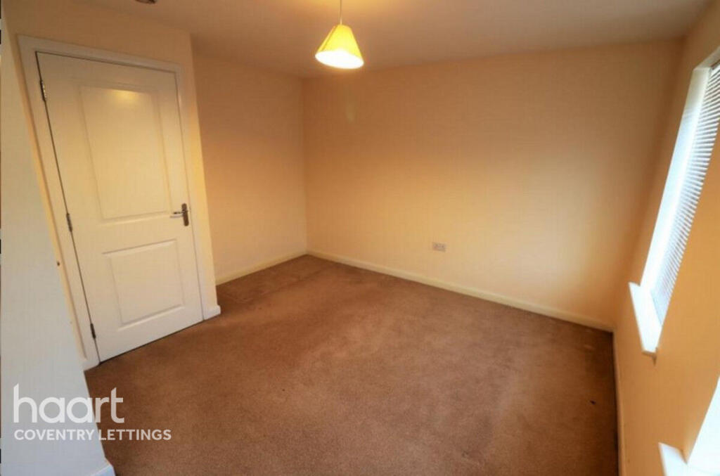
Images


Nearby Streets
| Name | Average Price | Average Sqft | Distance |
|---|---|---|---|
| Talbot Close | £ 0 | 0 | 0.00 KM |
| Cherry Tree Avenue | £ 0 | 0 | 0.00 KM |
| Dale End | £ 0 | 0 | 0.00 KM |
| Chestnut Crescent | £ 0 | 0 | 0.00 KM |
| Hornbeam Close | £ 0 | 0 | 0.00 KM |
Nearby Transport
| Name | NLC | TLC | Distance |
|---|---|---|---|
| Nuneaton | 1077 | NUN | 4.27 KM |
| Bermuda Park | 6543 | BEP | 4.39 KM |
| Bedworth | 1165 | BEH | 6.57 KM |
| Atherstone | 1074 | ATH | 8.03 KM |
| Coventry Arena | 7416 | CAA | 8.87 KM |
Nearby Listings
| Address | Price | Type | Score | Distance |
|---|---|---|---|---|
| Queen Elizabeth Road, NUNEATON | £ 1,295 | RENT | Unknown | 0.00 KM |
| Hillcrest Road, Nuneaton, Warwickshire, CV10 | £ 1,200 | RENT | Unknown | 0.12 KM |
| Hillcrest Road, Nuneaton, Warwickshire, CV10 | £ 1,350 | RENT | Unknown | 0.12 KM |
| Hillcrest Road, Nuneaton, Warwickshire, CV10 | £ 1,250 | RENT | Unknown | 0.12 KM |
| Hillcrest Road, Nuneaton, Warwickshire, CV10 | £ 1,300 | RENT | Unknown | 0.13 KM |
Nearby Properties
| Address | Price | Distance |
|---|---|---|
| 34 Hillcrest Road | £ 74,000 | 0.11 KM |
| 18 Hillcrest Road | £ 81,000 | 0.13 KM |
| 219 Queen Elizabeth Road | £ 193,000 | 0.15 KM |
| 227 Queen Elizabeth Road | £ 90,000 | 0.15 KM |
| 267 Queen Elizabeth Road | £ 103,000 | 0.15 KM |