SK
LONDON | STUDENT | SEPTEMBER | W5
By Skylets
£ 445
Skylets says ..
LONDON | STUDENT | SEPTEMBER | W5
- Bedrooms
- 0
- Bathrooms
- 1
The heatmap indicates the level of crime in the area. The color of the heatmap indicates the crime severity and recency.
Metrics Year-on-Year
- Average area value
- 677,500.00 £Decreased by 34.26 %
- Average area rental value
- 2,388.00 £/moIncreased by 11.33 %
- Est rental Yield
- 4.23 %Increased by 69.20 %
- Crime Rate
- 23.00 %Unchanged by 0.00 %
from 1,030,646.00 £
from 2,145.00 £/mo
from 2.50 %
from 23.00 %
Agent Activity
Skylets created the listing.
Nearby Schools
| Name | Type | Ofsted | Distance |
|---|---|---|---|
| Christ The Saviour Church Of England Primary School | Voluntary Aided School | Outstanding | 0.37 KM |
| Clifton Lodge School | Other Independent School | 0.38 KM | |
| Ealing Independent College | Other Independent School | 0.41 KM | |
| University Of West London | Higher Education Institutions | Good | 0.48 KM |
| La Chouette School | Other Independent School | Good | 0.68 KM |
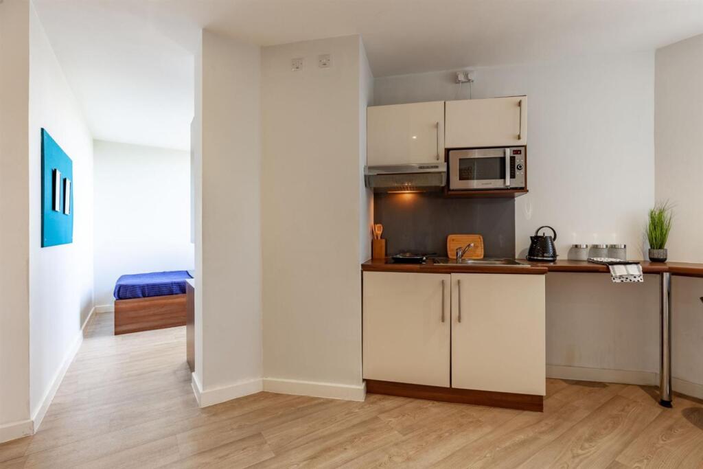
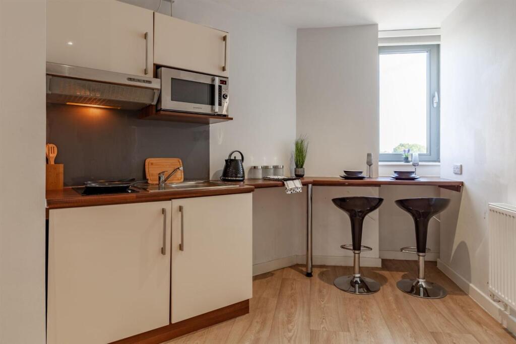
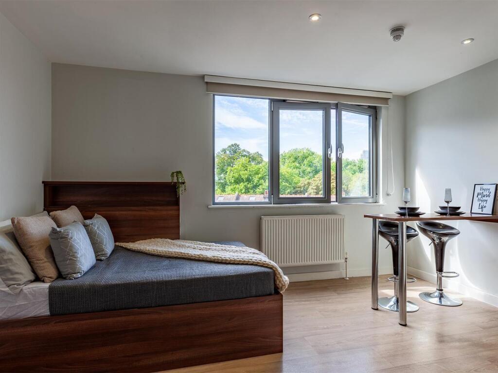
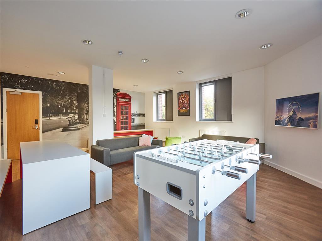
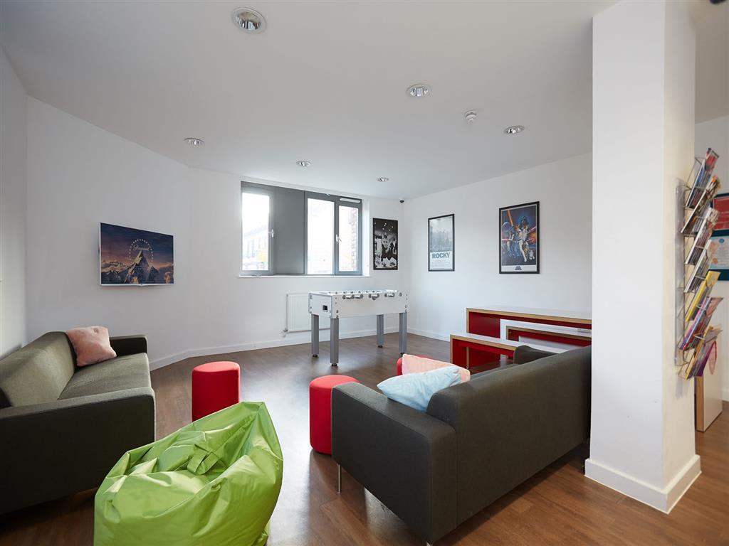
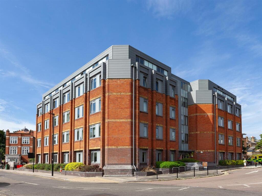
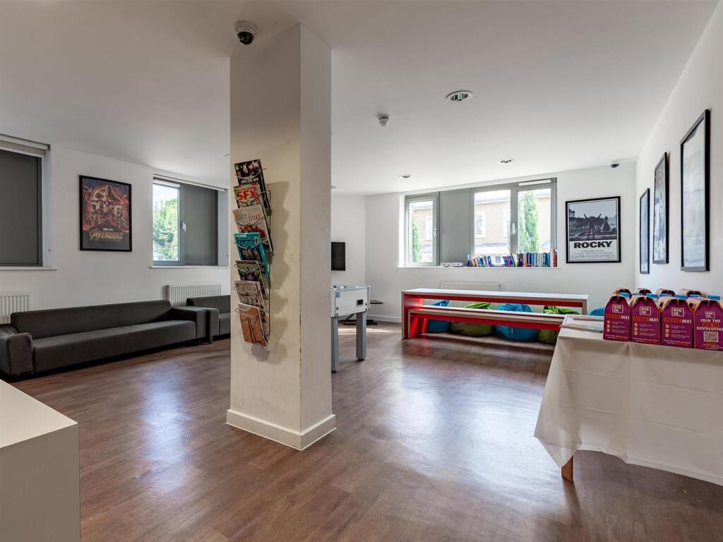
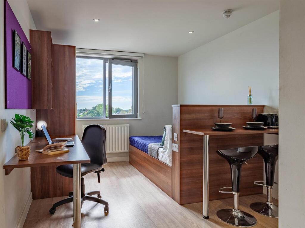
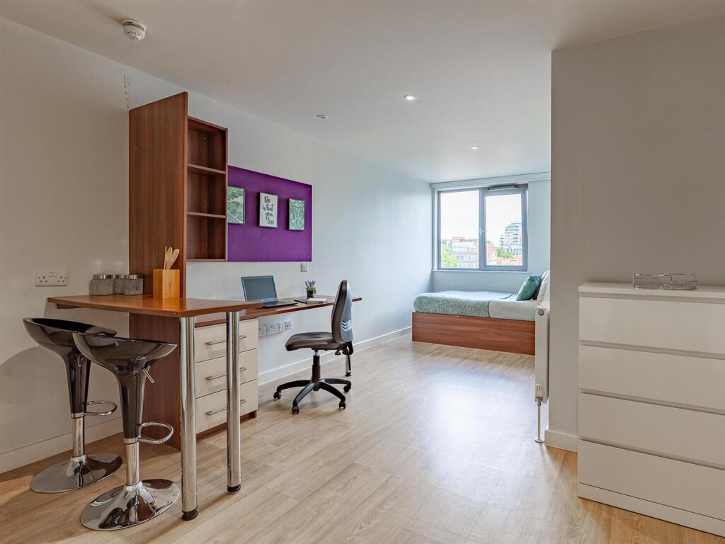
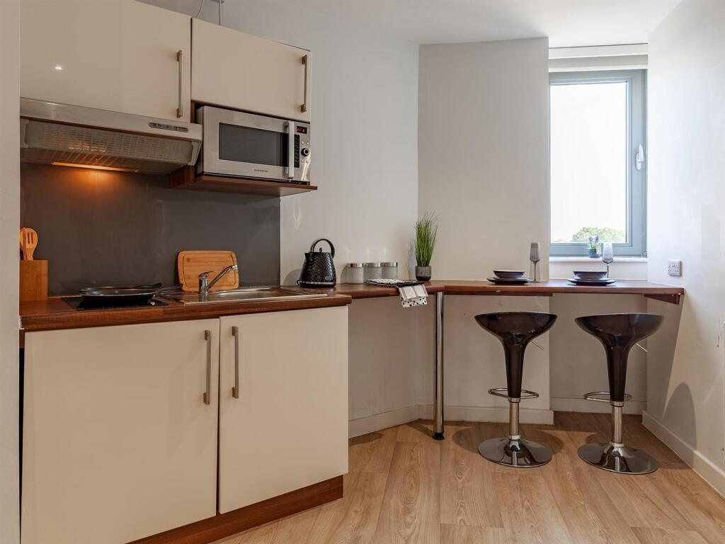
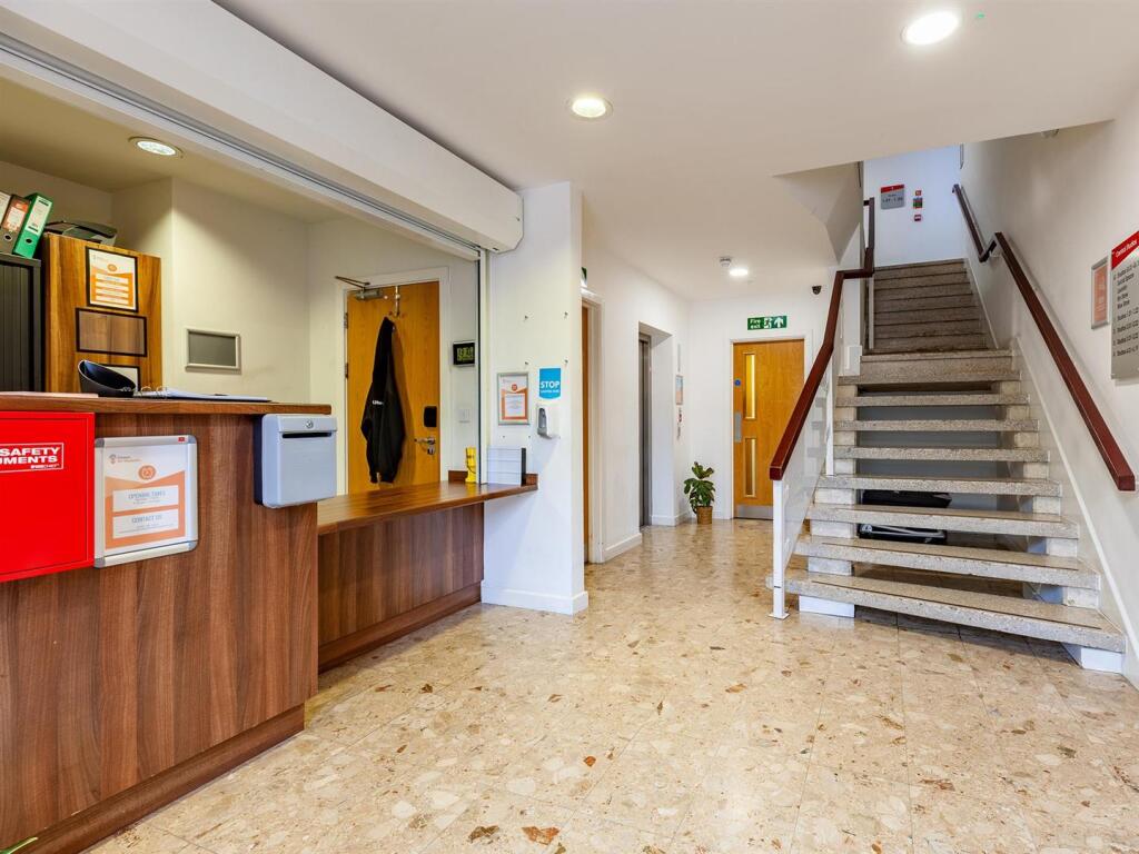
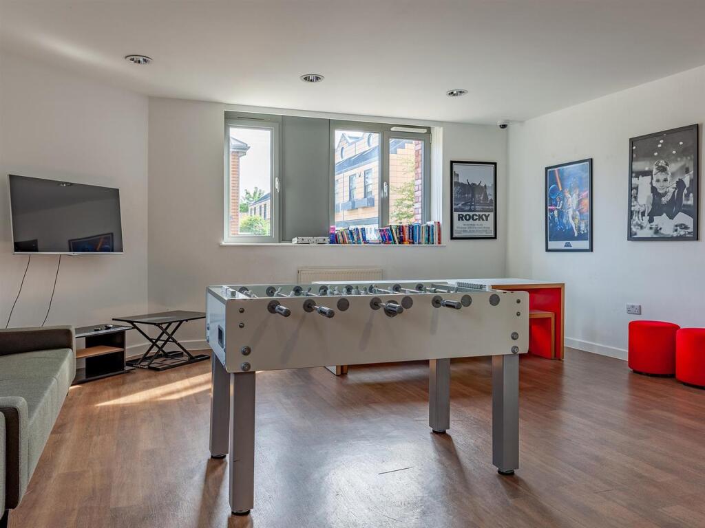
Images
Nearby Streets
| Name | Average Price | Average Sqft | Distance |
|---|---|---|---|
| High Street | £ 0 | 0 | 0.00 KM |
| Grove Road | £ 450,000 | 0 | 0.00 KM |
| Centre Square | £ 0 | 0 | 0.00 KM |
| Victoria Lane | £ 0 | 0 | 0.00 KM |
| Springbridge Road | £ 0 | 0 | 0.00 KM |
Nearby Transport
| Name | NLC | TLC | Distance |
|---|---|---|---|
| Ealing Broadway | 3190 | EAL | 0.57 KM |
| West Ealing | 3188 | WEA | 1.73 KM |
| Brentford | 5552 | BFD | 2.64 KM |
| Drayton Green | 3099 | DRG | 2.89 KM |
| Kew Bridge | 5593 | KWB | 3.06 KM |
Nearby Listings
| Address | Price | Type | Score | Distance |
|---|---|---|---|---|
| LONDON | STUDENT | SEPTEMBER | W5 | £ 425 | RENT | Unknown | 0.00 KM |
| LONDON | STUDENT | SEPTEMBER | W5 | £ 370 | RENT | Unknown | 0.00 KM |
| LONDON | STUDENT | SEPTEMBER | W5 | £ 360 | RENT | Unknown | 0.00 KM |
| LONDON | STUDENT | SEPTEMBER | W5 | £ 445 | RENT | Unknown | 0.00 KM |
| LONDON | STUDENT | SEPTEMBER | W5 | £ 450 | RENT | Unknown | 0.05 KM |
Nearby Properties
| Address | Price | Distance |
|---|---|---|
| 24a The Green | £ 270,000 | 0.06 KM |
| 25b The Green | £ 230,000 | 0.06 KM |
| 23a The Green | £ 485,000 | 0.06 KM |
| 22b The Green | £ 315,000 | 0.06 KM |
| 20b The Green | £ 550,000 | 0.06 KM |