KI
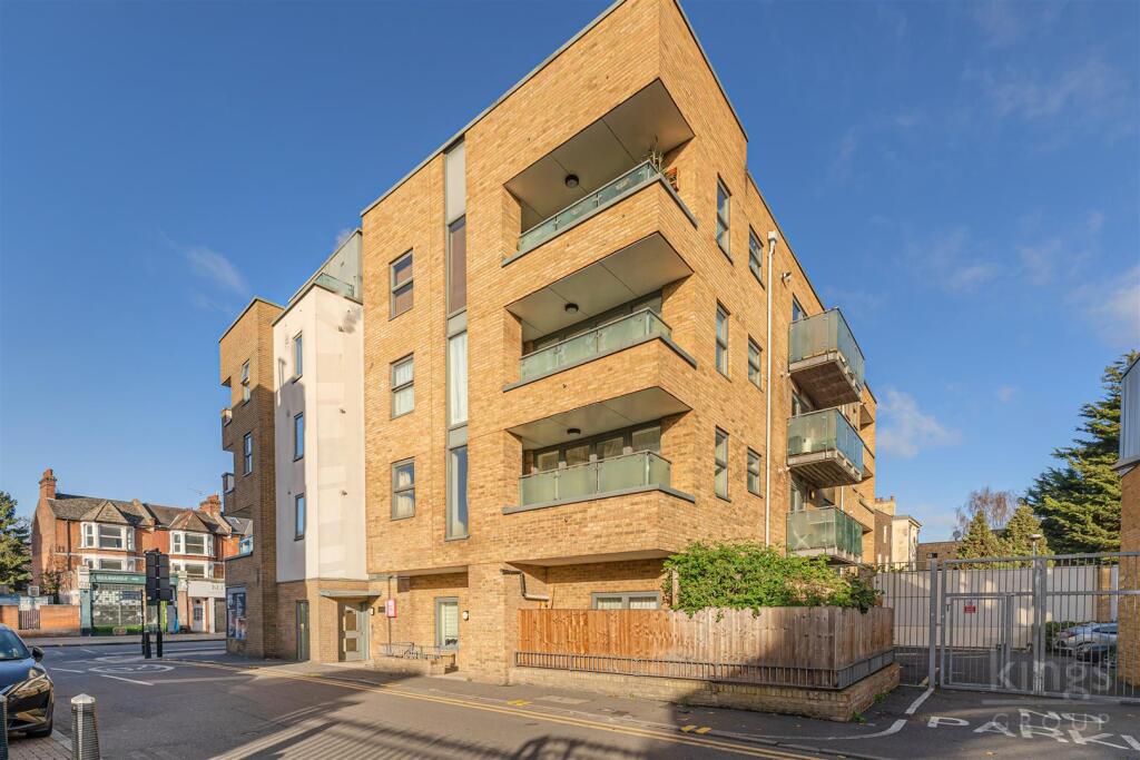
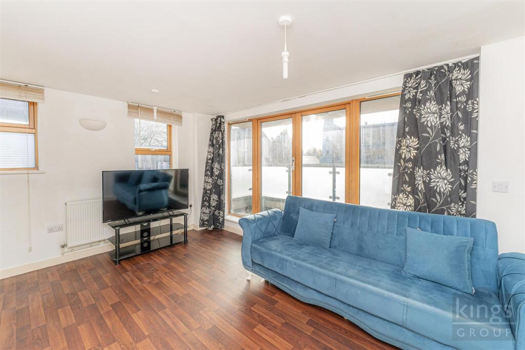
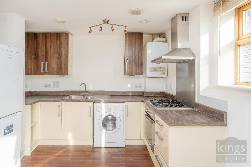
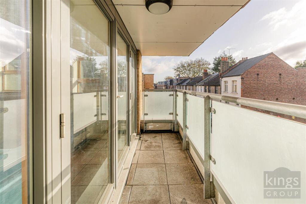
Hampden Lane, London
By Kings Group
£ 275,000
Kings Group says ..
No summary available.
- Bedrooms
- 1
- Bathrooms
- 1
The heatmap indicates the level of crime in the area. The color of the heatmap indicates the crime severity and recency.
Metrics Year-on-Year
- Average area value
- 429,000.00 £Increased by 7.90 %
- Average area rental value
- 2,529.00 £/moIncreased by 1.89 %
- Est rental Yield
- 7.07 %Decreased by 5.61 %
- Crime Rate
- 5.00 %Unchanged by 0.00 %
from 397,593.00 £
from 2,482.00 £/mo
from 7.49 %
from 5.00 %
Agent Activity
Kings Group created the listing.
Nearby Schools
| Name | Type | Ofsted | Distance |
|---|---|---|---|
| Pembury House Nursery School | Local Authority Nursery School | Outstanding | 0.11 KM |
| Pembury House Nursery School & Children'S Centre | Children's Centre | 0.14 KM | |
| The Mulberry Primary School | Community School | Good | 0.36 KM |
| St Francis De Sales Rc Infant School | Voluntary Aided School | Good | 0.41 KM |
| Assunnah Primary School | Other Independent School | Inadequate | 0.43 KM |
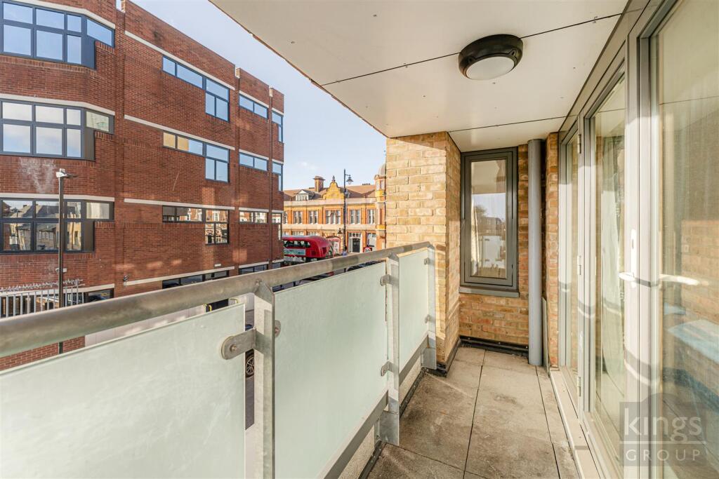
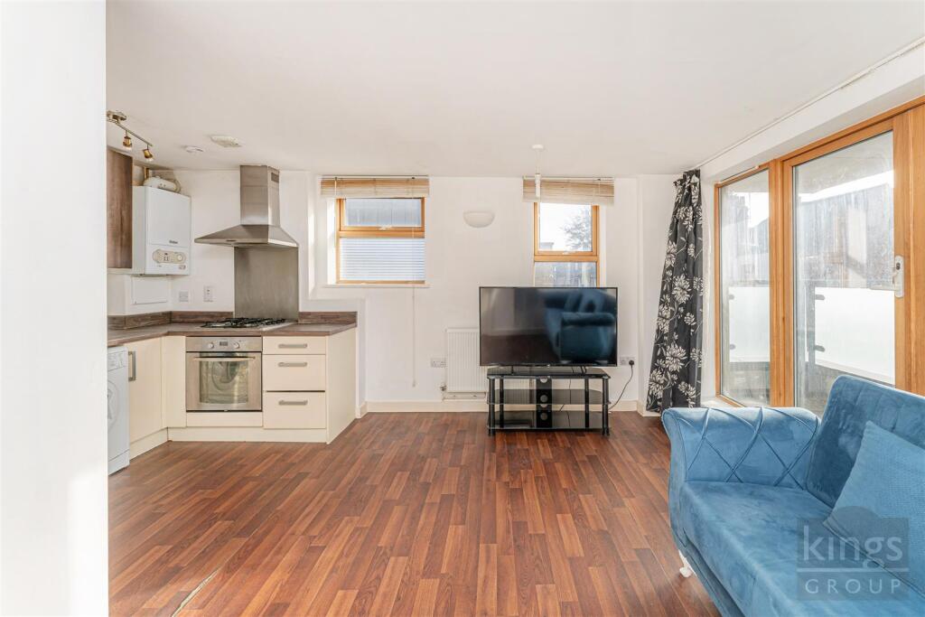
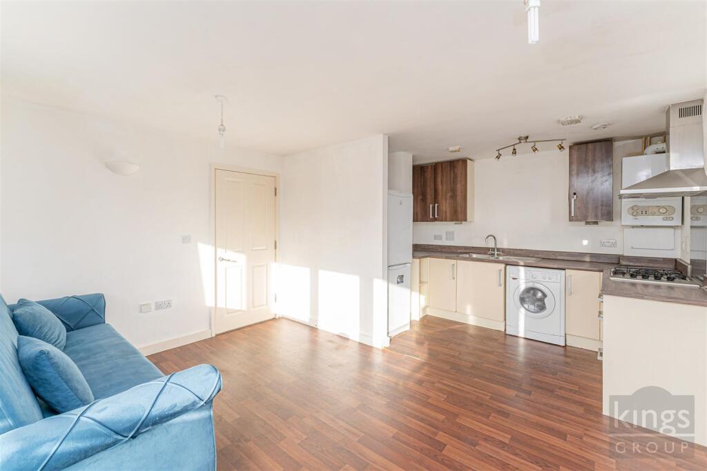
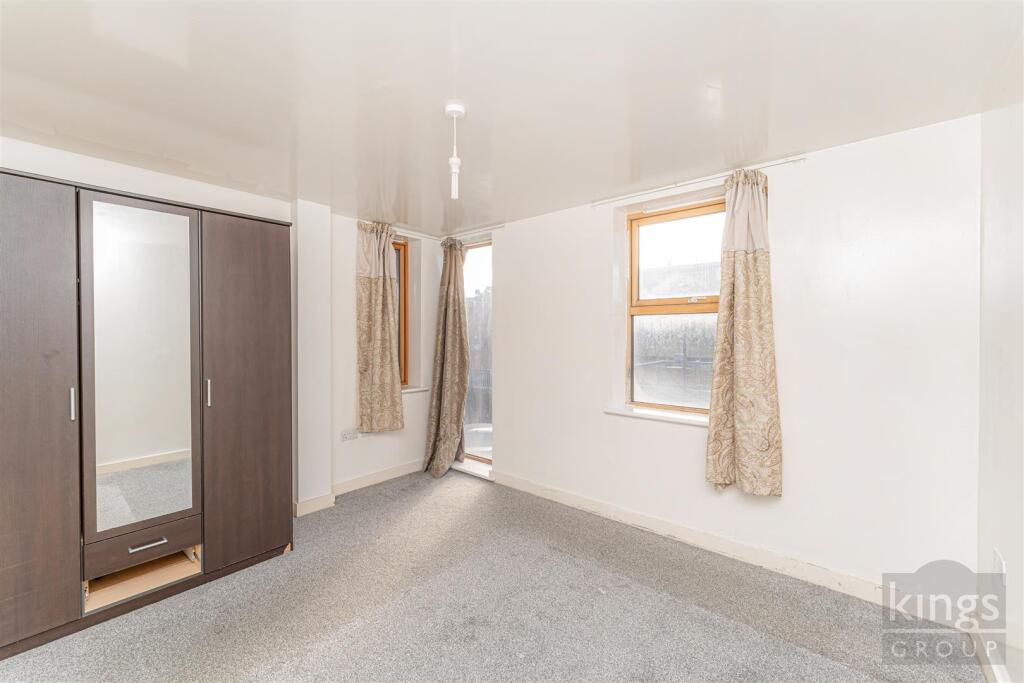
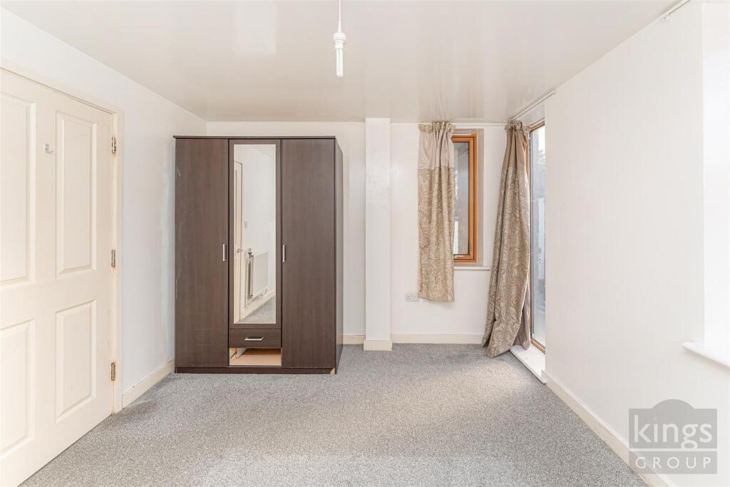
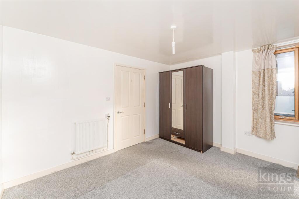
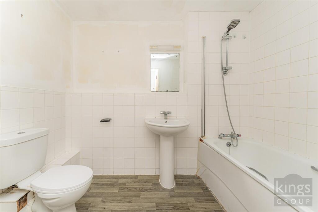
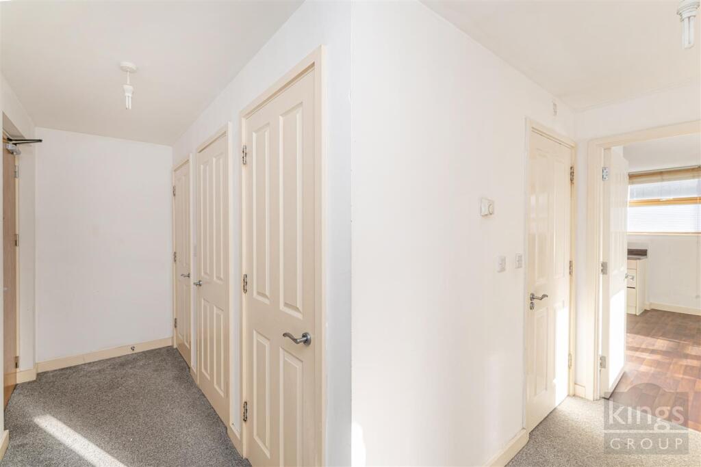
Images


Nearby Streets
| Name | Average Price | Average Sqft | Distance |
|---|---|---|---|
| Harpers Yard | £ 0 | 0 | 0.00 KM |
| Albion Road | £ 0 | 0 | 0.00 KM |
| Emilia Place | £ 430,000 | 0 | 0.00 KM |
| Paxton Place | £ 0 | 0 | 0.00 KM |
| Brook Street | £ 0 | 0 | 0.00 KM |
Nearby Transport
| Name | NLC | TLC | Distance |
|---|---|---|---|
| Bruce Grove | 6958 | BCV | 0.65 KM |
| White Hart Lane | 6956 | WHL | 0.75 KM |
| Tottenham Hale | 6951 | TOM | 1.48 KM |
| Northumberland Park | 6971 | NUM | 1.53 KM |
| Silver Street | 6972 | SLV | 1.72 KM |
Nearby Listings
| Address | Price | Type | Score | Distance |
|---|---|---|---|---|
| Hampden Lane, London | £ 275,000 | BUY | Unknown | 0.00 KM |
| Hampden Lane, London | £ 165,000 | BUY | Unknown | 0.00 KM |
| River Heights, Tottenham, London, N17 | £ 182,000 | BUY | 6 / 10 | 0.06 KM |
| 636 - 638 High Road, London, N17 | £ 300,000 | BUY | Unknown | 0.06 KM |
| River Heights, London, N17 | £ 295,000 | BUY | Unknown | 0.07 KM |
Nearby Properties
| Address | Price | Distance |
|---|---|---|
| 86 Campbell Road | £ 265,000 | 0.14 KM |
| 8 Lansdowne Road | £ 840,000 | 0.14 KM |
| 2 Lansdowne Road | £ 139,500 | 0.14 KM |
| 14 Lansdowne Road | £ 540,000 | 0.14 KM |
| 79 Campbell Road | £ 148,000 | 0.14 KM |