YO
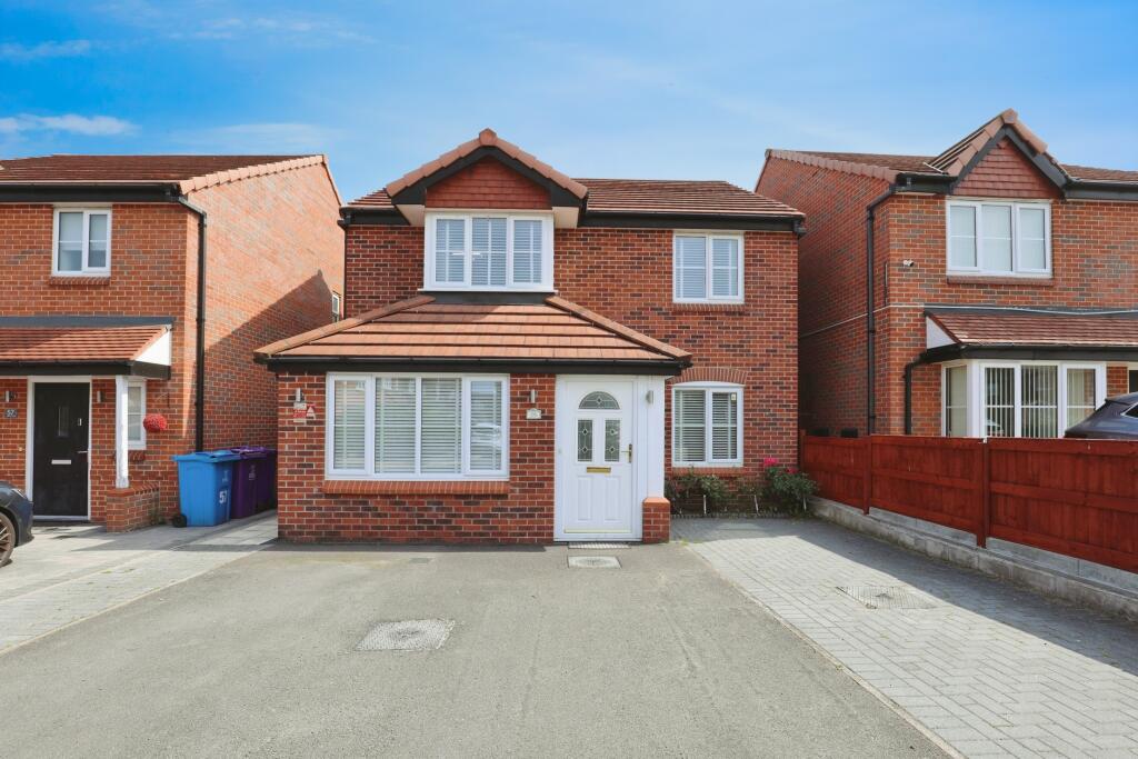
Marrow Drive, Liverpool, L7
By Yopa
£ 300,000
Yopa says ..
Marrow Drive, L7
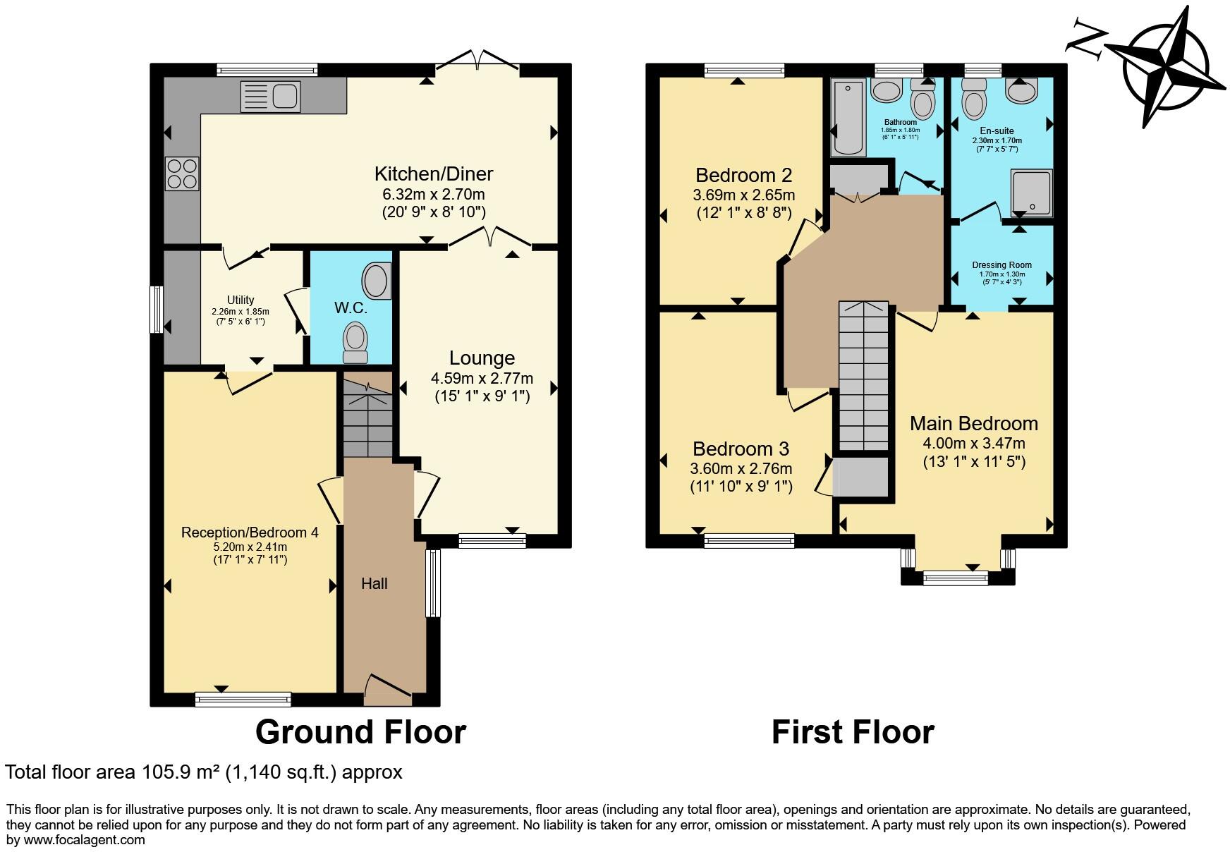
- Bedrooms
- 3
- Bathrooms
- 2
The heatmap indicates the level of crime in the area. The color of the heatmap indicates the crime severity and recency.
Metrics Year-on-Year
- Average area value
- 152,494.00 £Decreased by 1.22 %
- Average area rental value
- 782.00 £/moIncreased by 10.92 %
- Est rental Yield
- 6.15 %Increased by 12.23 %
- Crime Rate
- 4.00 %Unchanged by 0.00 %
from 154,370.00 £
from 705.00 £/mo
from 5.48 %
from 4.00 %
Agent Activity
Yopa created the listing.
Nearby Schools
| Name | Type | Ofsted | Distance |
|---|---|---|---|
| Phoenix Primary School | Community School | Good | 0.40 KM |
| St Cuthbert'S Catholic Primary And Nursery School | Voluntary Aided School | Good | 0.64 KM |
| Nazene Danielle School Of Performing Arts | Other Independent School | 0.81 KM | |
| St Sebastian'S Catholic Primary School And Nursery | Voluntary Aided School | Outstanding | 0.93 KM |
| St Cecilia'S Catholic Infant & Nursery School | Voluntary Aided School | Good | 1.06 KM |
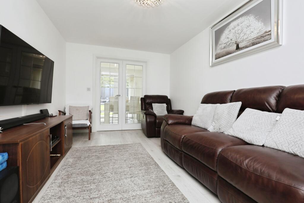
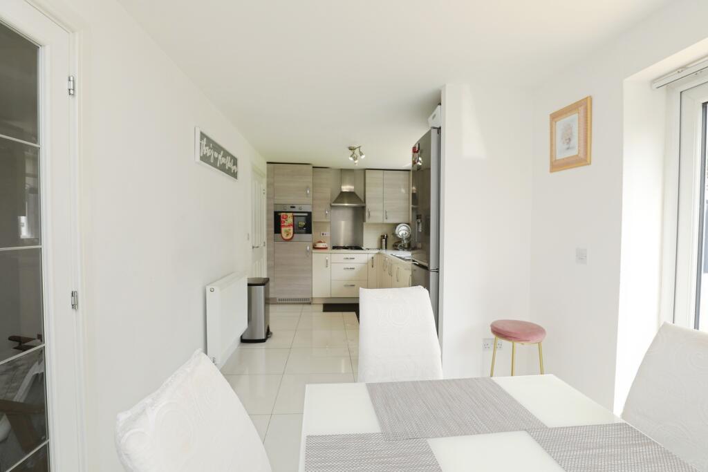
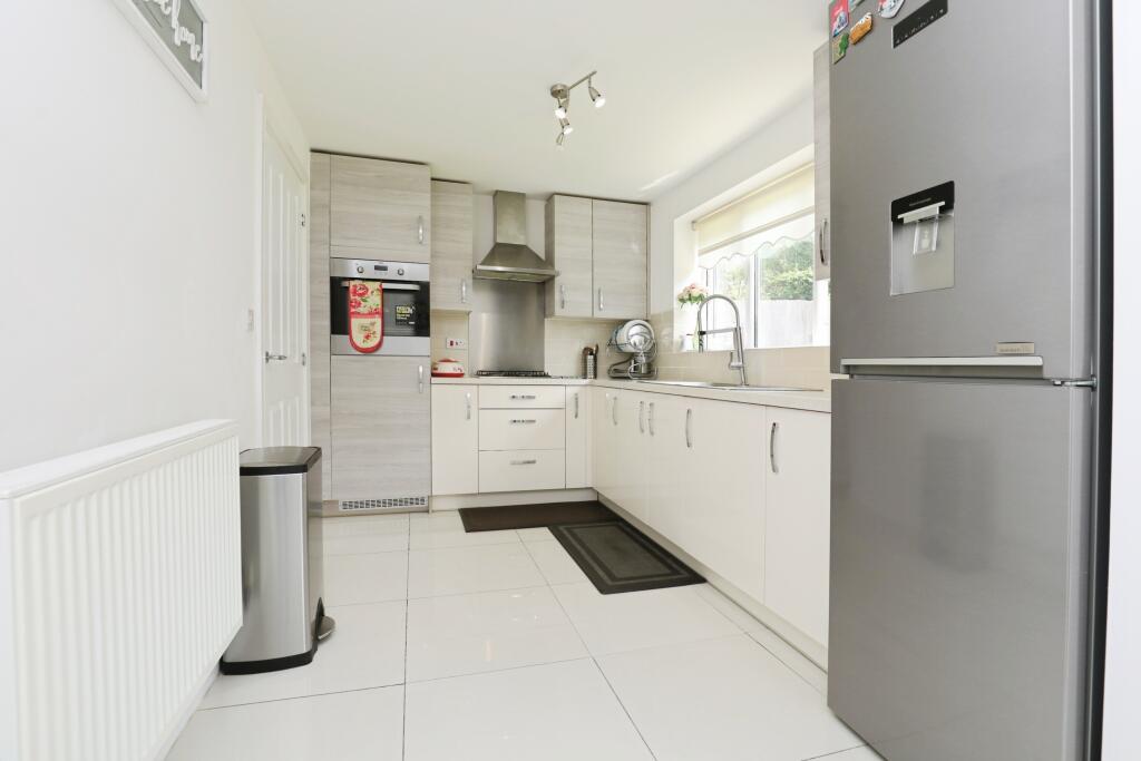
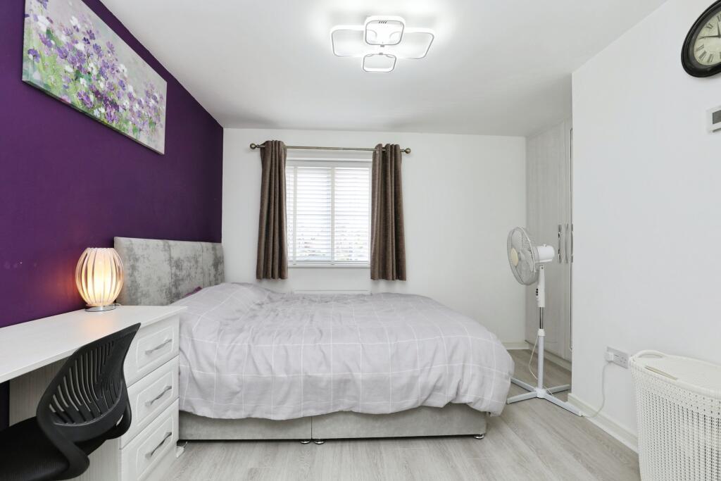
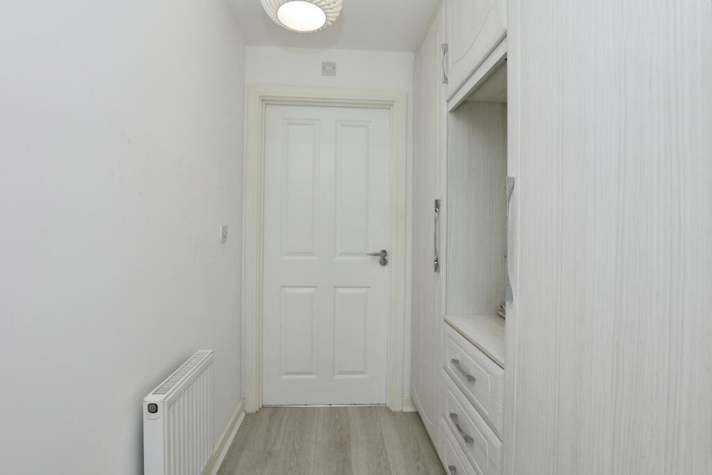
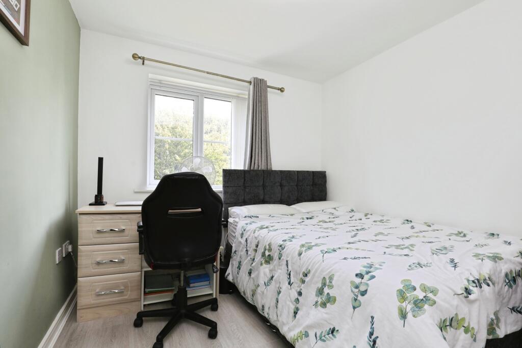
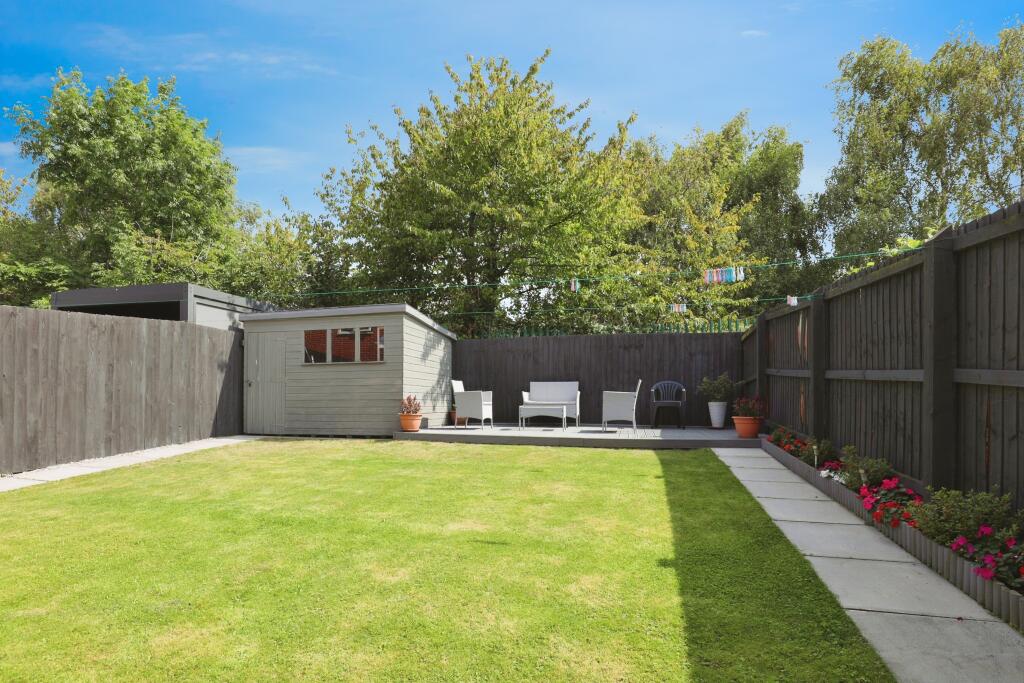
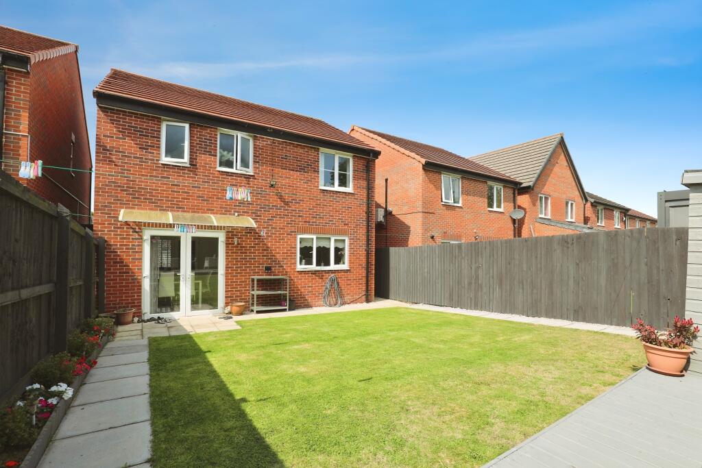
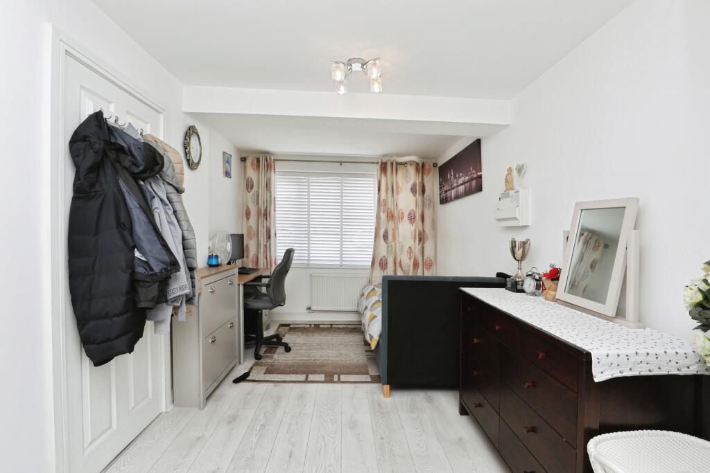
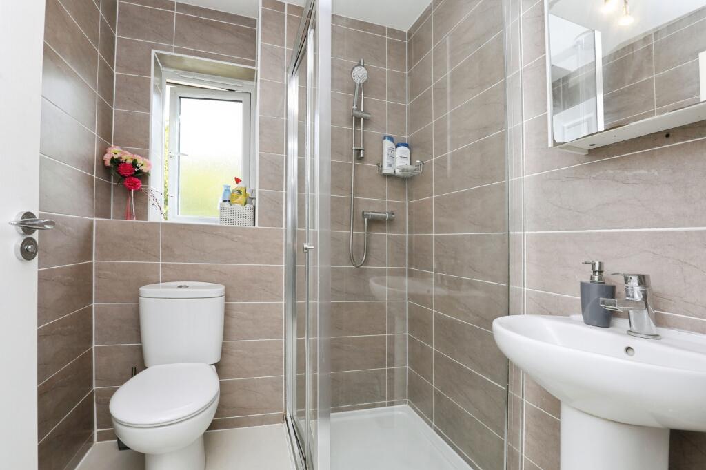
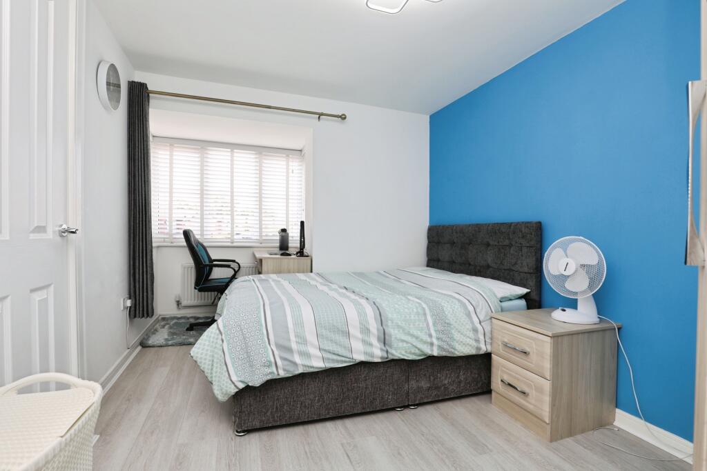
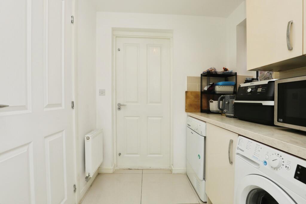
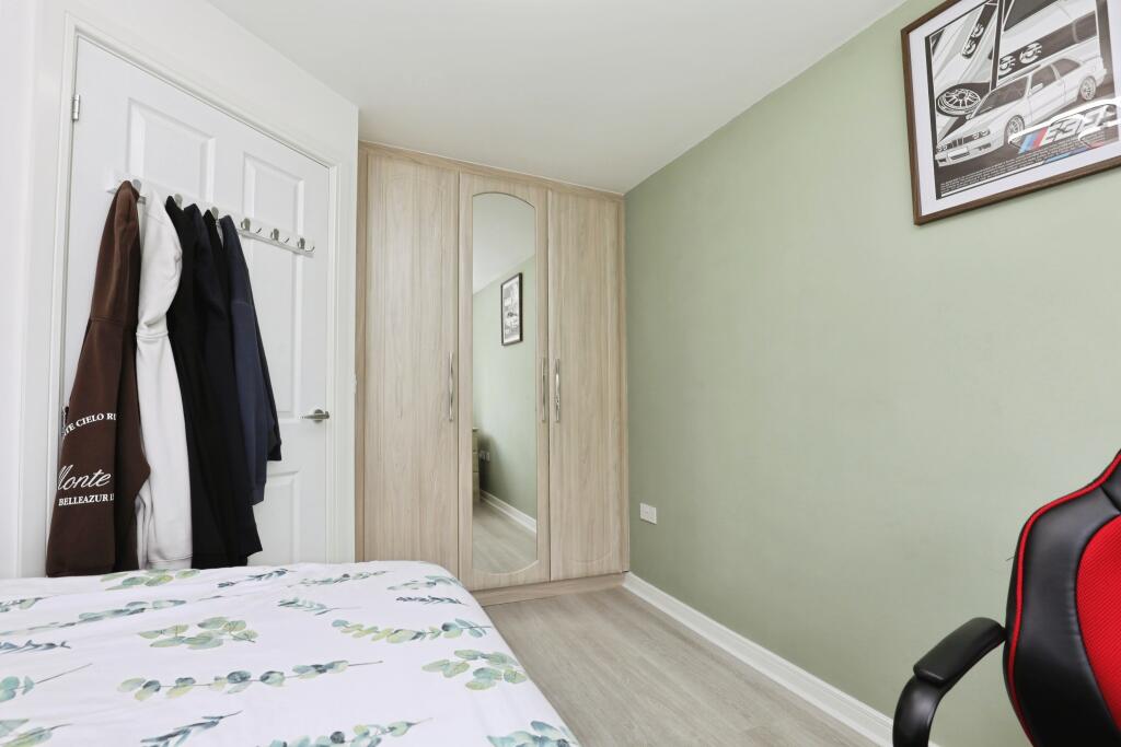
Images


Nearby Streets
| Name | Average Price | Average Sqft | Distance |
|---|---|---|---|
| Lomond Road | £ 0 | 0 | 0.00 KM |
| Church Road | £ 241,667 | 0 | 0.00 KM |
| Balmoral Court | £ 0 | 0 | 0.00 KM |
| Green Lane | £ 110,000 | 0 | 0.00 KM |
| Green Lane | £ 150,000 | 0 | 0.00 KM |
Nearby Transport
| Name | NLC | TLC | Distance |
|---|---|---|---|
| Wavertree Technology Park | 8589 | WAV | 1.28 KM |
| Edge Hill | 2169 | EDG | 2.13 KM |
| Broad Green | 2240 | BGE | 4.20 KM |
| Mossley Hill | 2171 | MSH | 4.21 KM |
| St Michaels | 2248 | STM | 4.89 KM |
Nearby Listings
| Address | Price | Type | Score | Distance |
|---|---|---|---|---|
| Marrow Drive, Liverpool, L7 | £ 300,000 | BUY | Unknown | 0.00 KM |
| Marrow Drive, Liverpool | £ 300,000 | BUY | Unknown | 0.01 KM |
| Marrow Drive, Fairfield, Liverpool, L7 | £ 325,000 | BUY | 6 / 10 | 0.10 KM |
| Lindale Road, Fairfield, Liverpool. | £ 120,000 | BUY | 6 / 10 | 0.13 KM |
| Lindale Road, Liverpool, L7 | £ 125,000 | BUY | 7 / 10 | 0.13 KM |
Nearby Properties
| Address | Price | Distance |
|---|---|---|
| 57 Lindale Road | £ 71,000 | 0.14 KM |
| 51 Lindale Road | £ 80,000 | 0.14 KM |
| 59 Lindale Road | £ 99,000 | 0.14 KM |
| 41 Lindale Road | £ 45,000 | 0.14 KM |
| 55 Lindale Road | £ 67,000 | 0.14 KM |