
Abode says ..
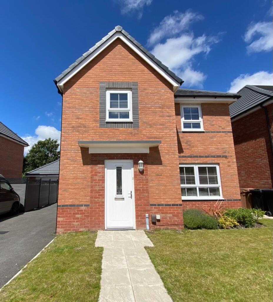
**PRICE TO SELL** Abode are delighted to offer for sale this spacious FOUR bedroom DETACHED family home situated in a sought after L23 location. With a range of amenities in close proximity such as shops, supermarkets, excellent transport links and a number of top quality schools in the ...
Property Oracle says ..
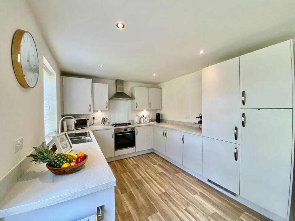
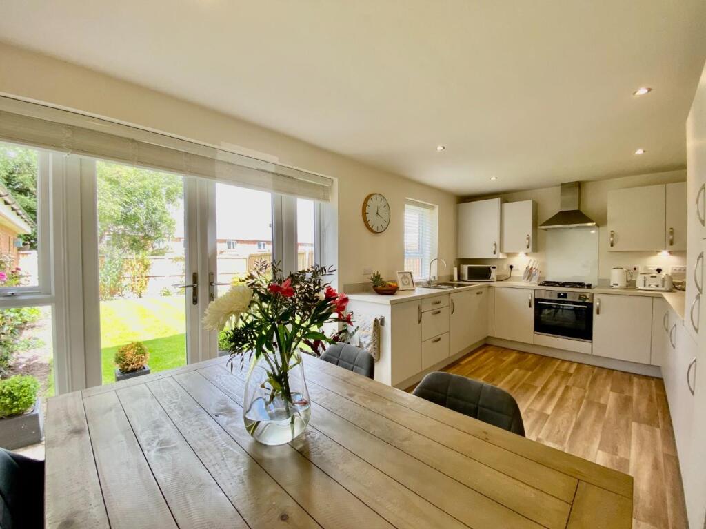
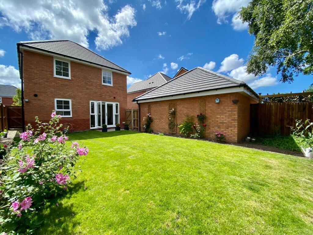
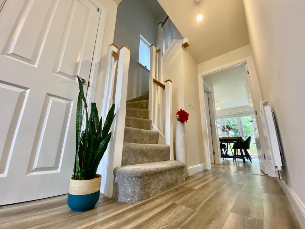
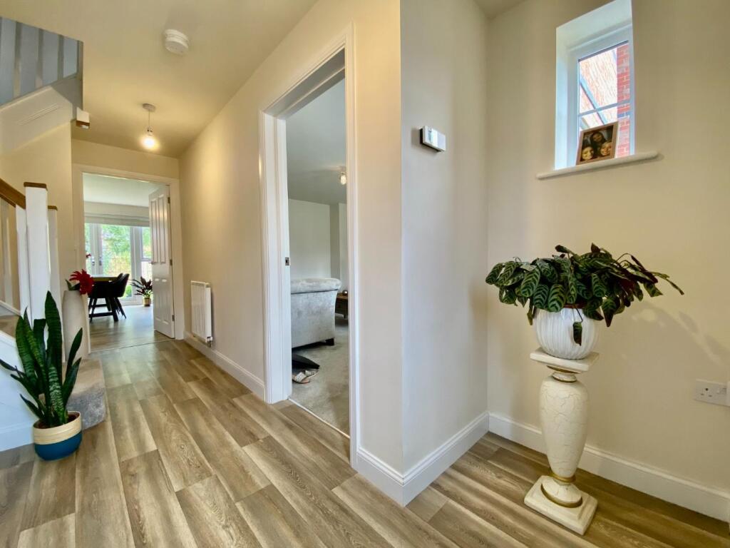
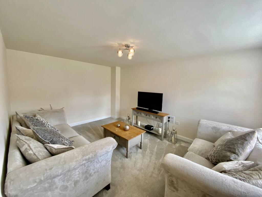
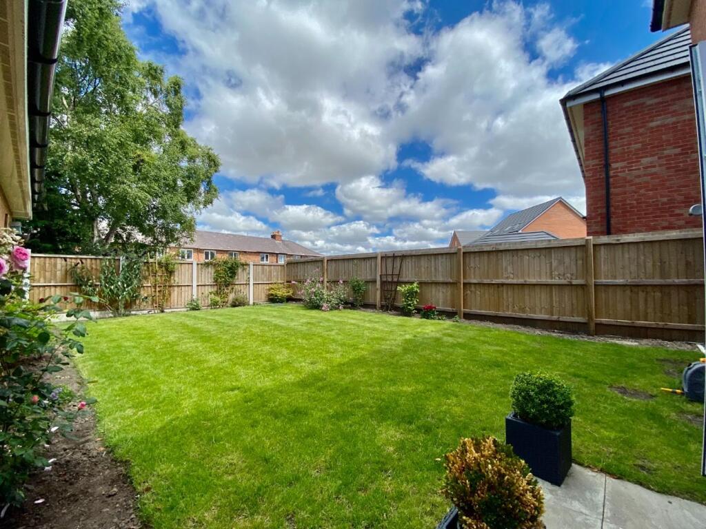
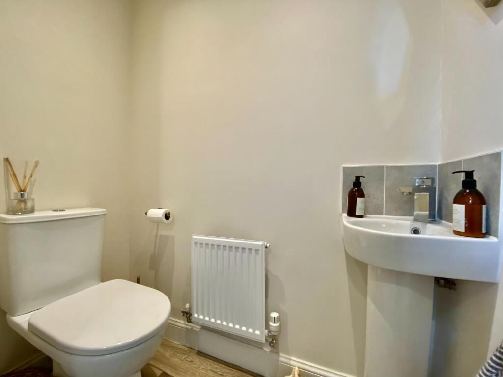
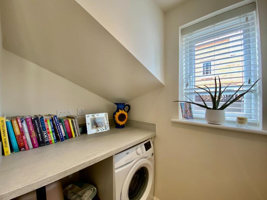
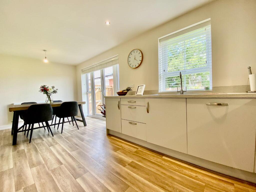
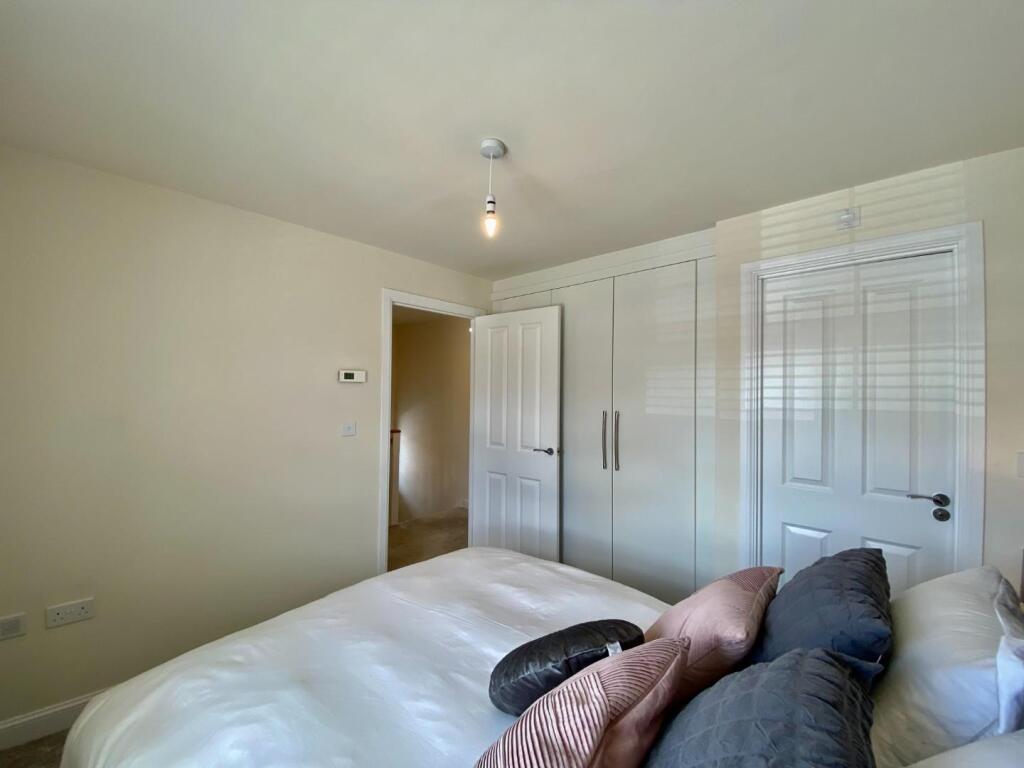
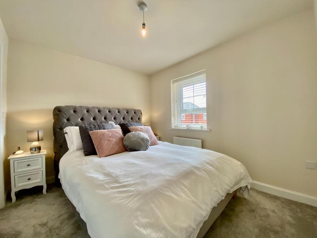
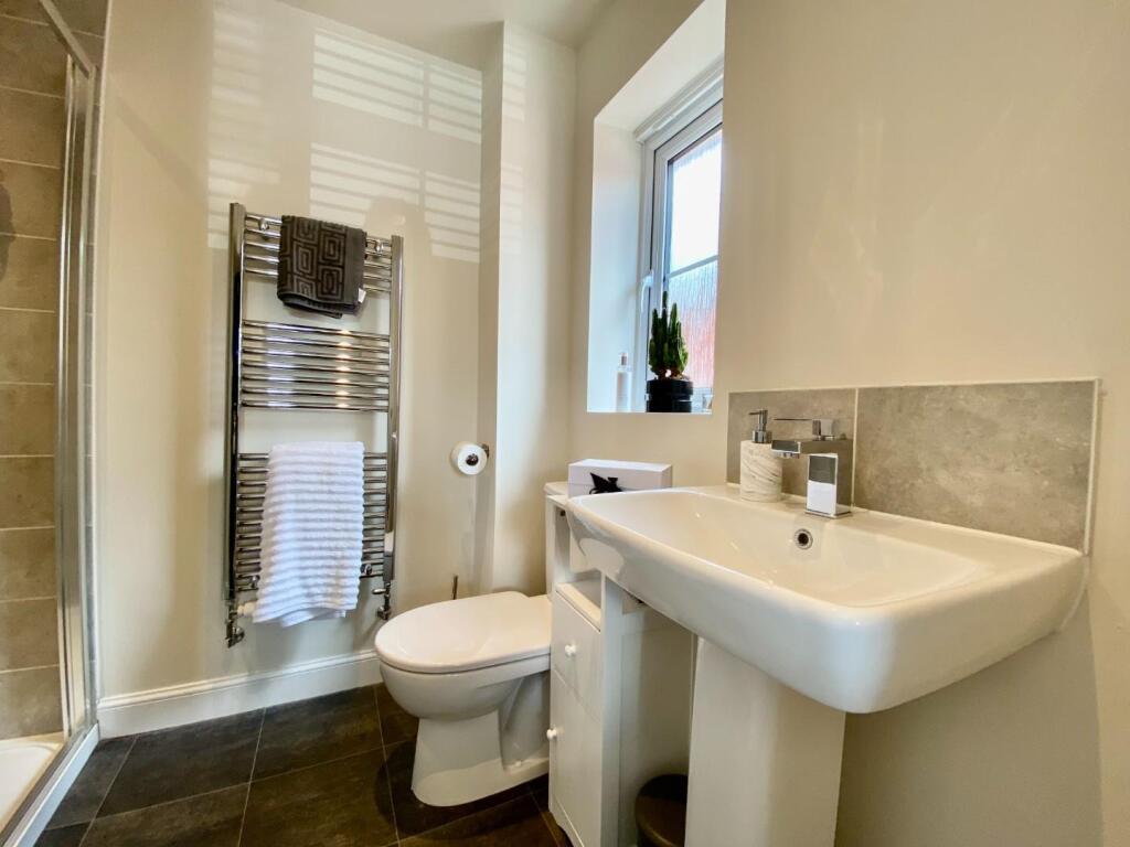
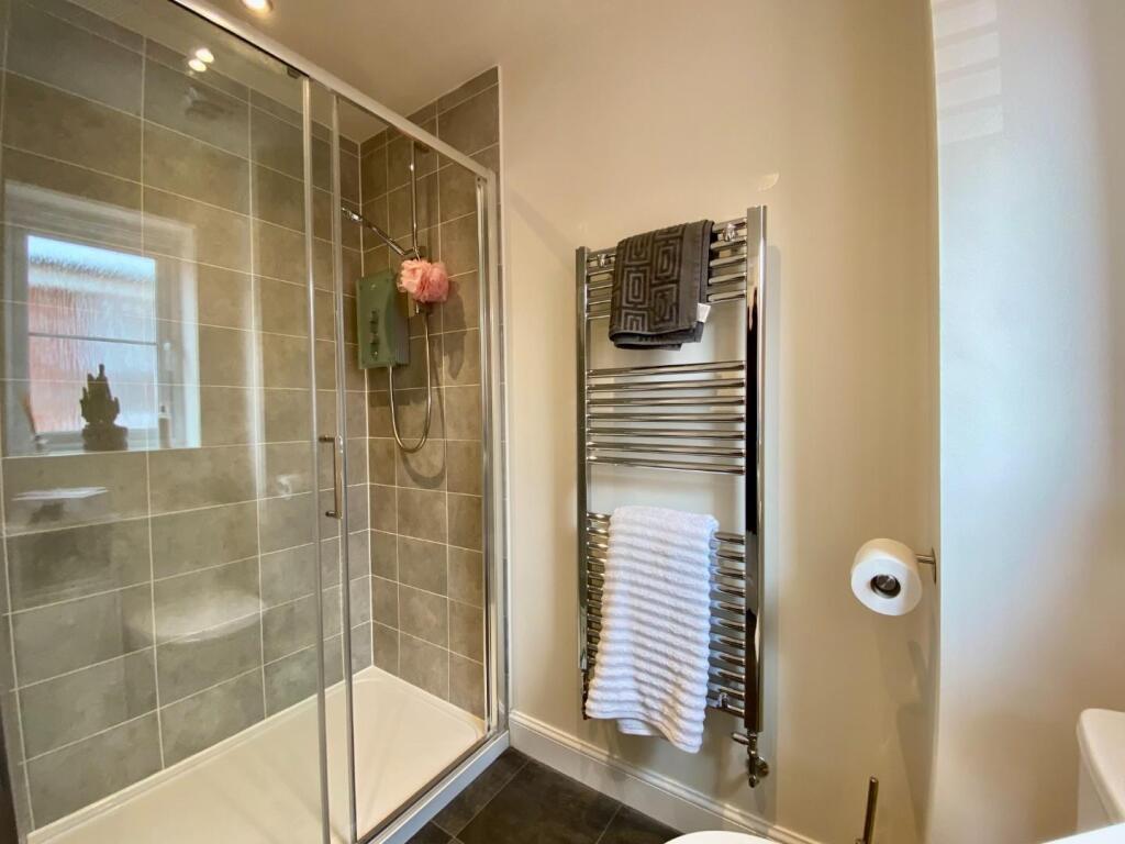
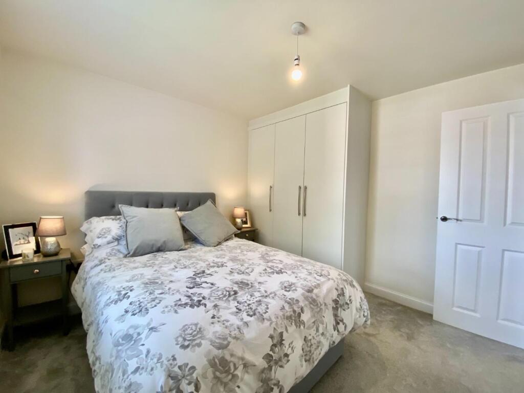
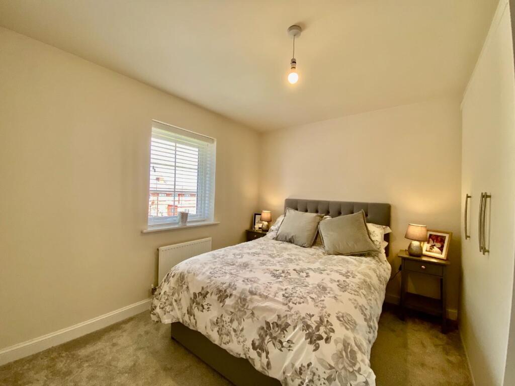
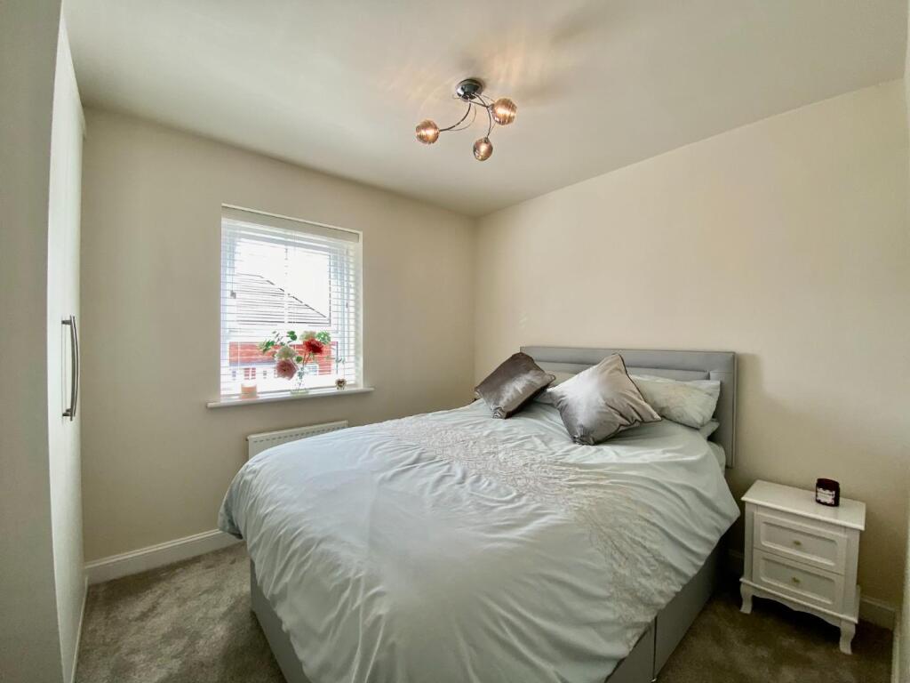
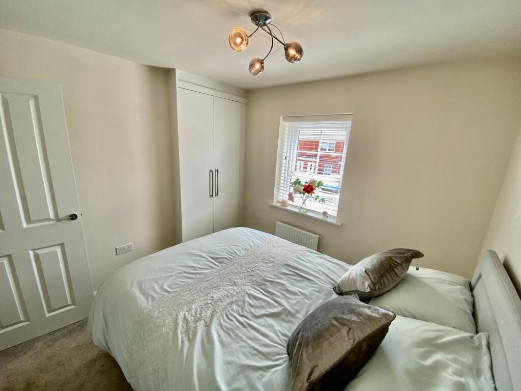
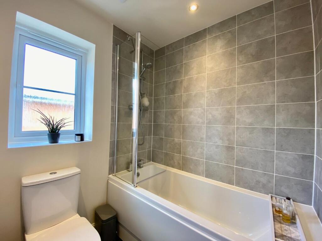
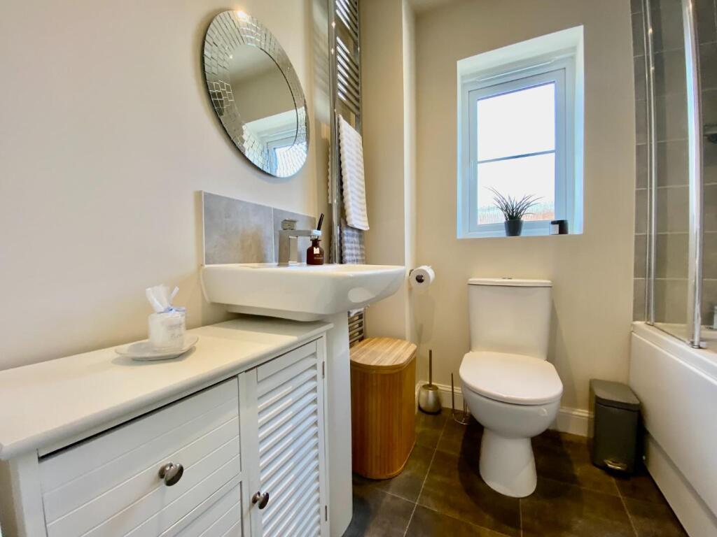
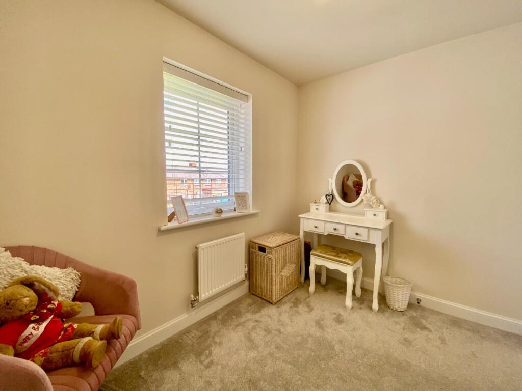
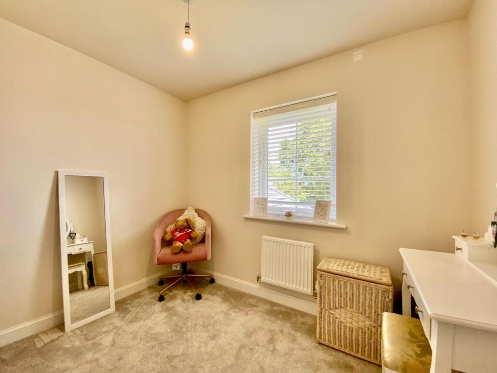
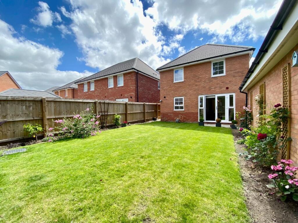
The property is located in Thornton, Sefton, Merseyside. The area has good nearby schools, including Newfield School and Jigsaw Primary Pupil Referral Unit, both rated “Good” by Ofsted. Several Merseyrail stations are within a reasonable distance, providing convenient access to public transportation. While the provided data lacks specific details on the proximity of shops and places of significance, the presence of good schools and transport links suggests a reasonably desirable location. Based on the provided images, the property appears to be in excellent condition. It is modern, clean, and well-maintained, showing no signs of needing repair or renovation. The kitchen and bathrooms are contemporary and in a new or like-new state. The property includes a well-maintained garden, offering outdoor space for relaxation and recreation. The images show a sizeable lawn and planted areas. The list price is £325,000. The average house price in the area is £376,936, and the average price per square foot is £358. While the absence of square footage data for the subject property prevents a precise comparison, the list price seems relatively reasonable, possibly even slightly below the average for the area, considering its apparent excellent condition and the inclusion of a garden. Further information on the property’s size would allow for a more definitive assessment of its value.
Therefore, we give this property 8 / 10. *Disclaimer: This is our option and does constitute a recommendation or financial advice. Do your own research. *
- Price
- 7
- Condition
- 10
- Location
- 7
- Land
- 8
- Bedrooms
- 4
- Bathrooms
- 2
The heatmap indicates the level of crime in the area. The color of the heatmap indicates the crime severity and recency.
Metrics Year-on-Year
- Average area value
- 387,843.00 £Increased by 1.47 %
- Average area rental value
- 1,806.00 £/moIncreased by 16.22 %
- Est rental Yield
- 5.59 %Increased by 14.55 %
- Crime Rate
- 6.00 %Unchanged by 0.00 %
Agent Activity
Abode created the listing.
Nearby Schools
| Name | Type | Ofsted | Distance |
|---|---|---|---|
| Newfield School | Community Special School | Good | 0.91 KM |
| Jigsaw Primary Pupil Referral Unit | Pupil Referral Unit | Good | 1.07 KM |
| Impact | Pupil Referral Unit | Good | 1.21 KM |
| St William Of York Catholic Primary School | Voluntary Aided School | Good | 1.24 KM |
| Thornton Children'S Centre | Children's Centre Linked Site | 1.28 KM |
Images


Nearby Streets
| Name | Average Price | Average Sqft | Distance |
|---|---|---|---|
| Great Gate Close | £ 0 | 0 | 0.00 KM |
| Pleasant Hill Close | £ 0 | 0 | 0.00 KM |
| Buckley Hill Lane | £ 0 | 0 | 0.00 KM |
| Buckley Hill Lane | £ 287,000 | 0 | 0.00 KM |
| Lavender Gardens | £ 0 | 0 | 0.00 KM |
Nearby Transport
| Name | NLC | TLC | Distance |
|---|---|---|---|
| Seaforth And Litherland | 2250 | SFL | 3.87 KM |
| Old Roan | 2258 | ORN | 4.50 KM |
| Aintree | 2125 | AIN | 4.60 KM |
| Waterloo (Merseyside) | 2133 | WLO | 4.63 KM |
| Bootle New Strand | 2195 | BNW | 4.93 KM |
Nearby Listings
| Address | Price | Type | Score | Distance |
|---|---|---|---|---|
| Thorn Tree Drive, Thornton | £ 325,000 | BUY | 8 / 10 | 0.00 KM |
| Thorn Tree Drive, Liverpool, L23 | £ 300,000 | BUY | Unknown | 0.05 KM |
| Sundial Close, Liverpool, Merseyside, L23 | £ 245,000 | BUY | Unknown | 0.06 KM |
| Sundial Close, LIVERPOOL, Merseyside, L23 | £ 260,000 | BUY | 7 / 10 | 0.06 KM |
| Sundial Close, Thornton, Merseyside, L23 | £ 250,000 | BUY | 7 / 10 | 0.07 KM |
Nearby Properties
| Address | Price | Distance |
|---|---|---|
| 60 Runnells Lane | £ 169,950 | 0.28 KM |
| 42 Runnells Lane | £ 157,000 | 0.28 KM |
| 82 Runnells Lane | £ 142,000 | 0.28 KM |
| 16 Runnells Lane | £ 170,000 | 0.28 KM |
| 74 Runnells Lane | £ 168,000 | 0.28 KM |