
NO
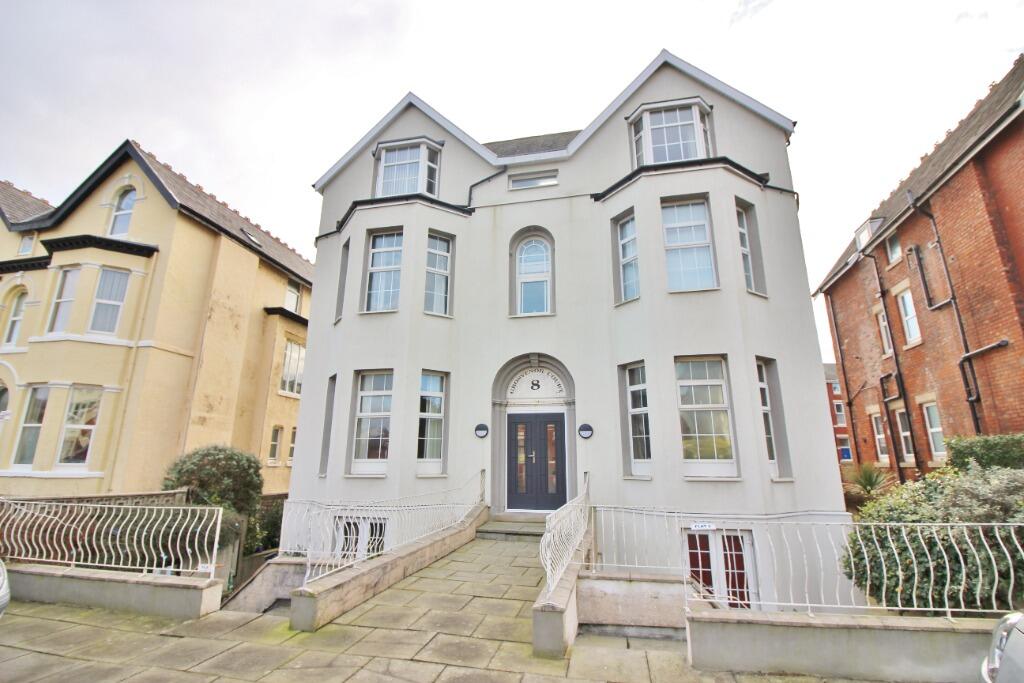
Knowsley Road, Southport, PR9
By Northwood
£ 600
Northwood says ..
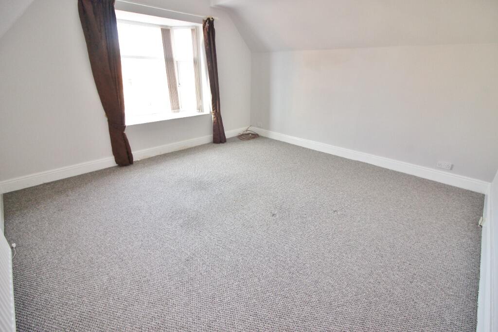
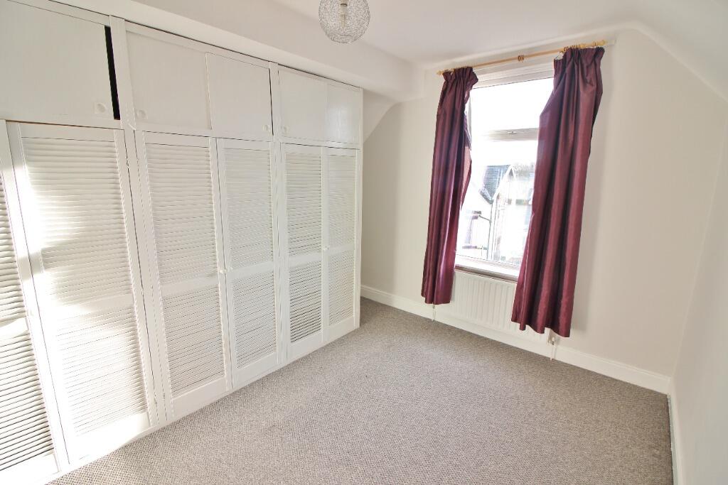
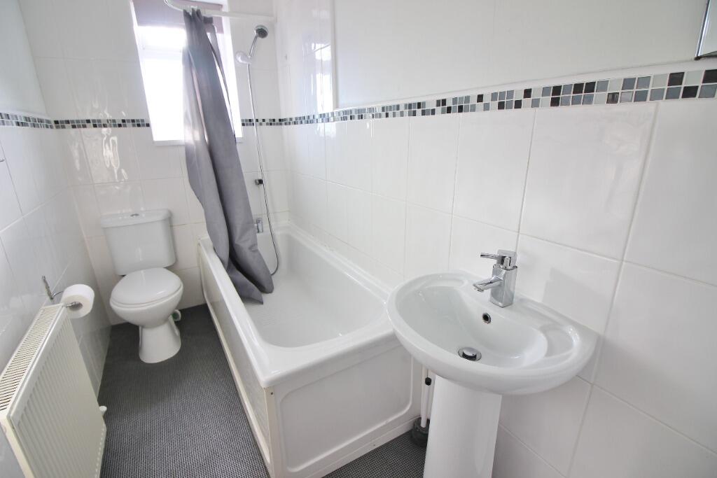
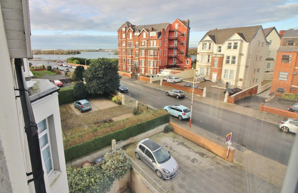
Smart one-bedroom apartment with views of the Marine Lake
- Bedrooms
- 1
- Bathrooms
- 1
The heatmap indicates the level of crime in the area. The color of the heatmap indicates the crime severity and recency.
Metrics Year-on-Year
- Average area value
- 213,571.00 £Decreased by 10.43 %
- Average area rental value
- 998.00 £/moIncreased by 48.07 %
- Est rental Yield
- 5.61 %Increased by 65.49 %
- Crime Rate
- 5.00 %Unchanged by 0.00 %
from 238,437.00 £
from 674.00 £/mo
from 3.39 %
from 5.00 %
Agent Activity
Northwood created the listing.
Nearby Schools
| Name | Type | Ofsted | Distance |
|---|---|---|---|
| Holy Trinity Church Of England Primary School, Southport | Academy Converter | 0.76 KM | |
| Southport College | Further Education | Good | 0.84 KM |
| Parenting 2000 Children'S Centre | Children's Centre Linked Site | 0.94 KM | |
| Arden College | Special Post 16 Institution | Good | 1.02 KM |
| St Philip'S Church Of England Primary School | Voluntary Aided School | Good | 1.73 KM |
Images
Nearby Streets
| Name | Average Price | Average Sqft | Distance |
|---|---|---|---|
| Avondale Road | £ 237,500 | 0 | 0.00 KM |
| Leicester Street | £ 330,000 | 0 | 0.00 KM |
| Back Bath Street | £ 0 | 0 | 0.00 KM |
| Albert Place | £ 0 | 0 | 0.00 KM |
| Marine Parade | £ 0 | 0 | 0.00 KM |
Nearby Transport
| Name | NLC | TLC | Distance |
|---|---|---|---|
| Southport | 2262 | SOP | 0.94 KM |
| Birkdale | 2352 | BDL | 2.74 KM |
| Meols Cop | 2357 | MEC | 2.98 KM |
| Hillside | 2231 | HIL | 4.47 KM |
| Ainsdale | 2350 | ANS | 7.45 KM |
Nearby Listings
| Address | Price | Type | Score | Distance |
|---|---|---|---|---|
| Knowsley Road, Southport, PR9 | £ 600 | RENT | Unknown | 0.00 KM |
| Knowsley Road, Southport | £ 730 | RENT | Unknown | 0.03 KM |
| Irving Street, Southport, PR9 | £ 700 | RENT | Unknown | 0.06 KM |
| Irving Street, Southport, PR9 | £ 690 | RENT | Unknown | 0.08 KM |
| Irving Street, Southport, PR9 | £ 750 | RENT | Unknown | 0.09 KM |
Nearby Properties
| Address | Price | Distance |
|---|---|---|
| 7 Irving Street | £ 225,000 | 0.05 KM |
| 8 Irving Street | £ 200,000 | 0.05 KM |
| 2 Irving Street | £ 260,000 | 0.05 KM |
| 4 Irving Street | £ 130,000 | 0.05 KM |
| 6 Irving Street | £ 125,000 | 0.05 KM |