
LO
St. John's Road, London, N15
By Location Location
£ 2,450
Location Location says ..
Available from 13th September.
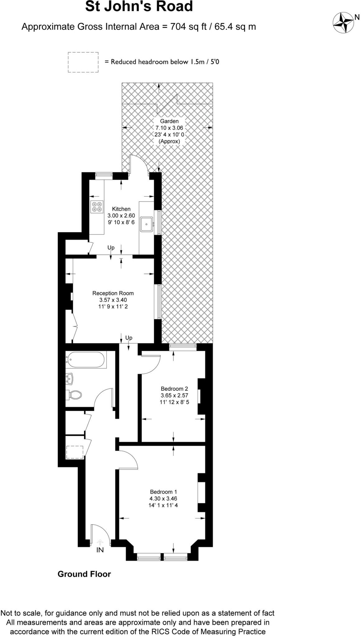
- Bedrooms
- 2
- Bathrooms
- 1
The heatmap indicates the level of crime in the area. The color of the heatmap indicates the crime severity and recency.
Metrics Year-on-Year
- Average area value
- 789,000.00 £Increased by 13.27 %
- Average area rental value
- 2,233.00 £/moIncreased by 4.05 %
- Est rental Yield
- 3.40 %Decreased by 8.11 %
- Crime Rate
- 7.00 %Unchanged by 0.00 %
from 696,574.00 £
from 2,146.00 £/mo
from 3.70 %
from 7.00 %
Agent Activity
Location Location created the listing.
Nearby Schools
| Name | Type | Ofsted | Distance |
|---|---|---|---|
| Talmud Torah London | Other Independent School | Good | 0.16 KM |
| Bnois Jerusalem Girls School | Other Independent School | Inadequate | 0.22 KM |
| Beis Rochel D'Satmar School | Other Independent School | 0.29 KM | |
| Beis Rochel D'Satmar Girls' School | Other Independent School | Requires improvement | 0.30 KM |
| Haringey Learning Partnership | Pupil Referral Unit | Good | 0.31 KM |
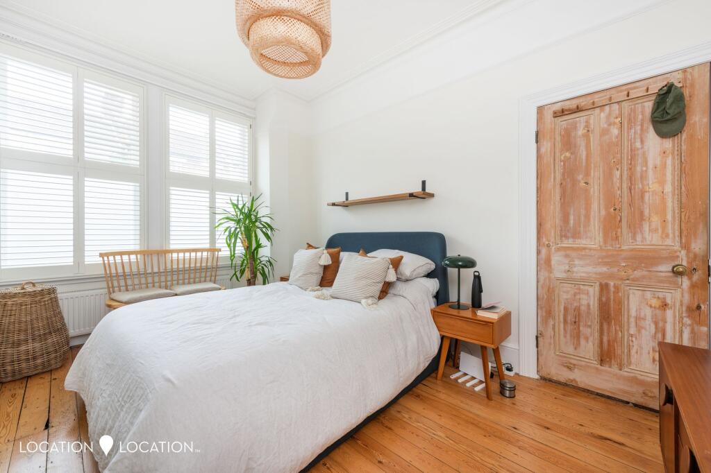
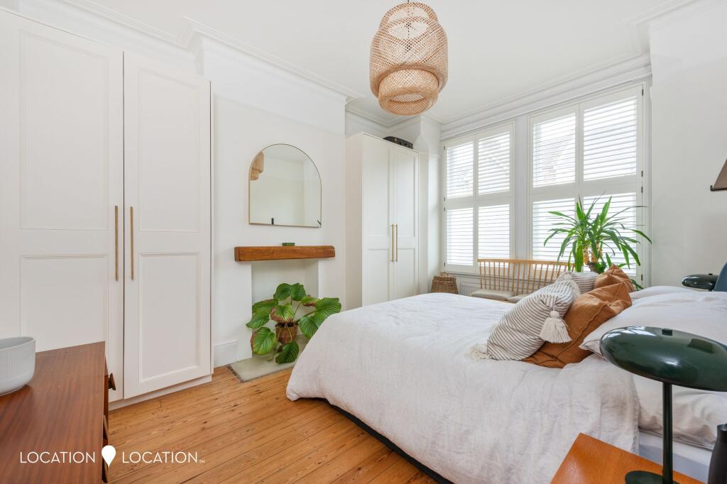
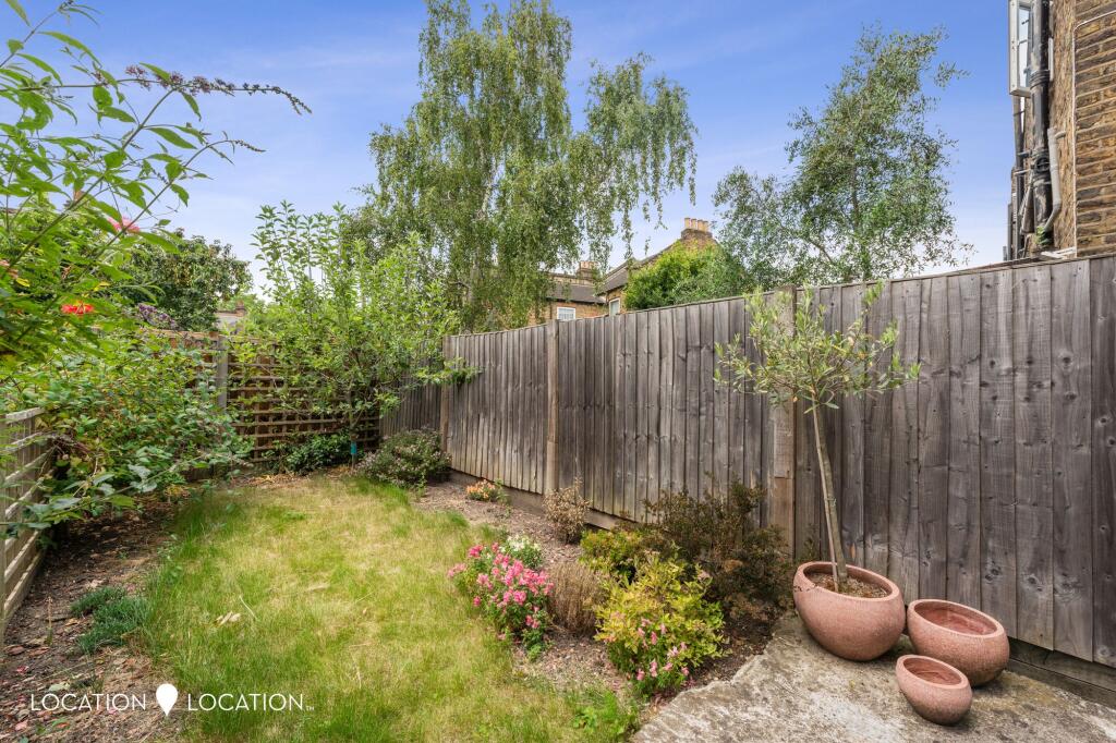
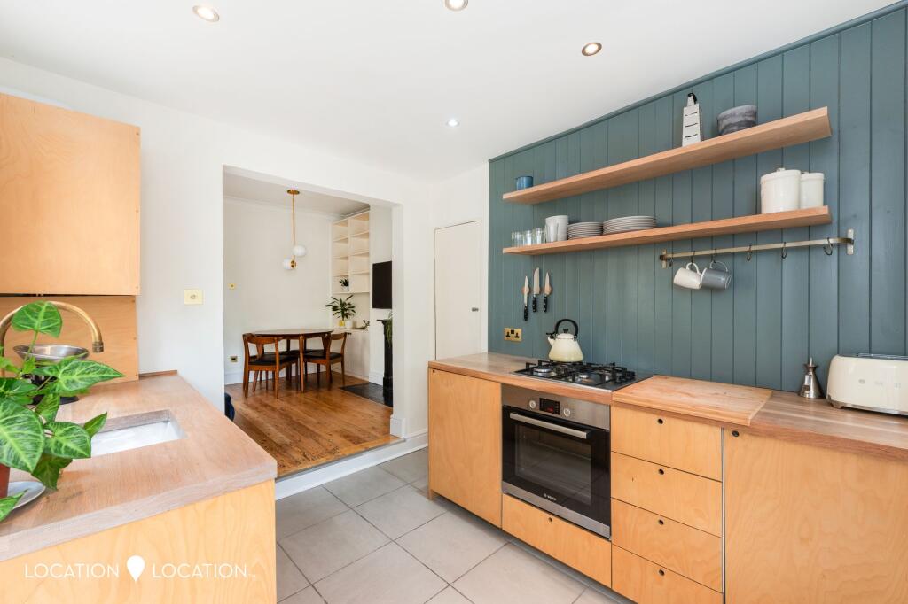
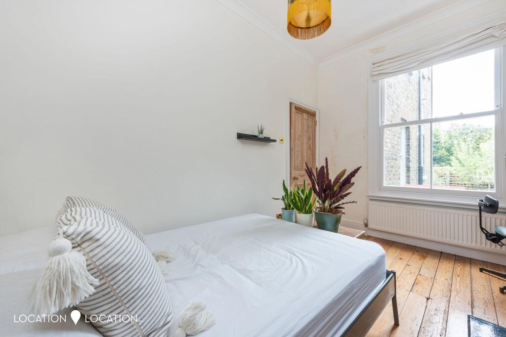
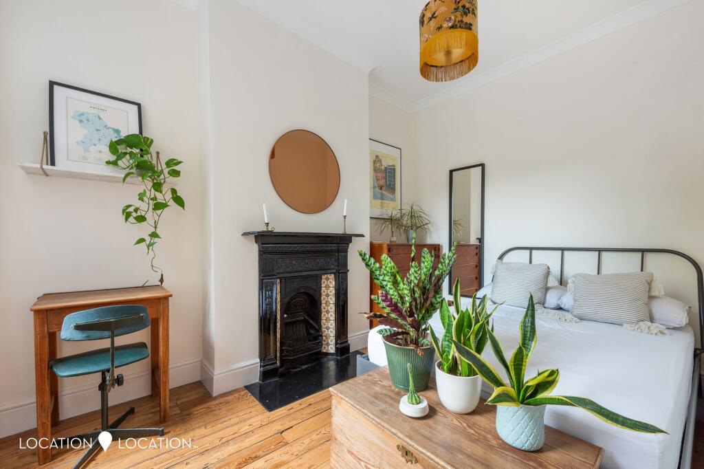
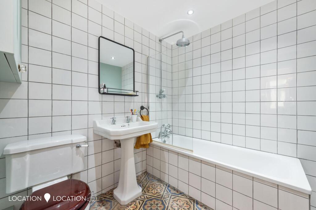
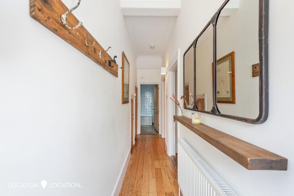
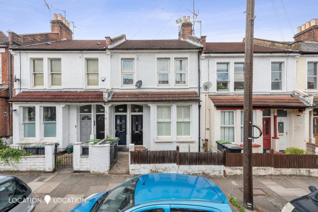
Images


Nearby Streets
| Name | Average Price | Average Sqft | Distance |
|---|---|---|---|
| Latimer Road | £ 0 | 0 | 0.00 KM |
| Overbury Road | £ 0 | 0 | 0.00 KM |
| Russell Road | £ 672,500 | 0 | 0.00 KM |
| Tarbert Mews | £ 0 | 0 | 0.00 KM |
| Newsam Avenue | £ 0 | 0 | 0.00 KM |
Nearby Transport
| Name | NLC | TLC | Distance |
|---|---|---|---|
| Stamford Hill | 6968 | SMH | 0.60 KM |
| Seven Sisters | 6931 | SVS | 0.96 KM |
| South Tottenham | 7404 | STO | 1.15 KM |
| Stoke Newington | 6934 | SKW | 1.59 KM |
| Harringay Green Lanes | 7401 | HRY | 1.81 KM |
Nearby Listings
| Address | Price | Type | Score | Distance |
|---|---|---|---|---|
| St. John's Road, London, N15 | £ 2,450 | RENT | Unknown | 0.00 KM |
| St Johns Road | £ 1,750 | RENT | Unknown | 0.02 KM |
| St Johns Road, N15 | £ 1,700 | RENT | Unknown | 0.04 KM |
| Manchester Road, London, N15 | £ 1,800 | RENT | Unknown | 0.06 KM |
| St Johns Road, Tottenham, London, N15 | £ 1,450 | RENT | Unknown | 0.06 KM |
Nearby Properties
| Address | Price | Distance |
|---|---|---|
| 54 St Johns Road | £ 388,000 | 0.02 KM |
| 56 St Johns Road | £ 690,000 | 0.02 KM |
| 42a St Johns Road | £ 115,000 | 0.02 KM |
| 44a St Johns Road | £ 375,000 | 0.02 KM |
| 40a St Johns Road | £ 520,000 | 0.02 KM |