RE
Worland Road, London, E15
By Residential Realtors
£ 438
Residential Realtors says ..
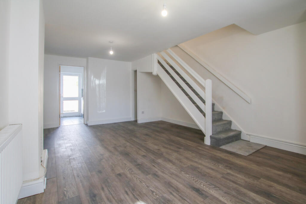
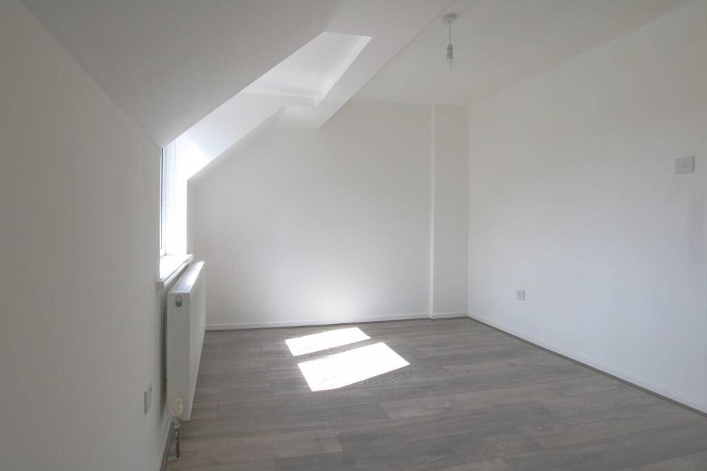
***NEWLY REFURBISHED AND PRIVATE GARDEN***
- Bedrooms
- 2
- Bathrooms
- 1
The heatmap indicates the level of crime in the area. The color of the heatmap indicates the crime severity and recency.
Metrics Year-on-Year
- Average area value
- 414,997.00 £Decreased by 30.96 %
- Average area rental value
- 2,643.00 £/moDecreased by 19.49 %
- Est rental Yield
- 7.64 %Increased by 16.64 %
- Crime Rate
- 4.00 %Unchanged by 0.00 %
from 601,087.00 £
from 3,283.00 £/mo
from 6.55 %
from 4.00 %
Agent Activity
Residential Realtors created the listing.
Nearby Schools
| Name | Type | Ofsted | Distance |
|---|---|---|---|
| East London Independent School | Other Independent Special School | Good | 0.18 KM |
| Sarah Bonnell School | Academy Converter | 0.23 KM | |
| West Ham Church Primary School | Voluntary Controlled School | Good | 0.57 KM |
| School 21 | Free Schools | Outstanding | 0.65 KM |
| Park Primary School | Community School | Good | 0.69 KM |
Images


Nearby Streets
| Name | Average Price | Average Sqft | Distance |
|---|---|---|---|
| Whalebone Lane | £ 375,000 | 0 | 0.00 KM |
| Vicarage Lane | £ 0 | 0 | 0.00 KM |
| Ferns Road | £ 0 | 0 | 0.00 KM |
| Evesham Road | £ 550,000 | 0 | 0.00 KM |
| Water Lane | £ 500,000 | 0 | 0.00 KM |
Nearby Transport
| Name | NLC | TLC | Distance |
|---|---|---|---|
| Maryland | 6970 | MYL | 0.59 KM |
| Stratford | 6969 | SRA | 1.35 KM |
| West Ham | 7474 | WEH | 1.52 KM |
| Forest Gate | 6876 | FOG | 1.92 KM |
| Stratford International | 7222 | SFA | 1.98 KM |
Nearby Listings
| Address | Price | Type | Score | Distance |
|---|---|---|---|---|
| Worland Road, London, E15 | £ 438 | RENT | Unknown | 0.00 KM |
| White Road, Stratford E15 | £ 2,000 | RENT | Unknown | 0.06 KM |
| Romford Road, London E12 4EE | £ 2,000 | RENT | Unknown | 0.06 KM |
| White Road, Stratford, E15 | £ 2,100 | RENT | Unknown | 0.09 KM |
| Romford Road, Forest Gate, London, E15 | £ 2,800 | RENT | Unknown | 0.11 KM |
Nearby Properties
| Address | Price | Distance |
|---|---|---|
| 13 Worland Road | £ 199,995 | 0.02 KM |
| 36 Worland Road | £ 102,500 | 0.02 KM |
| 21 Worland Road | £ 435,000 | 0.02 KM |
| 25 Worland Road | £ 208,000 | 0.02 KM |
| 38 Worland Road | £ 215,000 | 0.02 KM |