SO
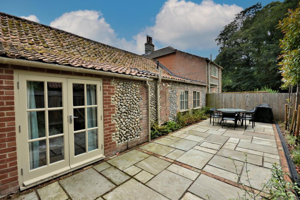
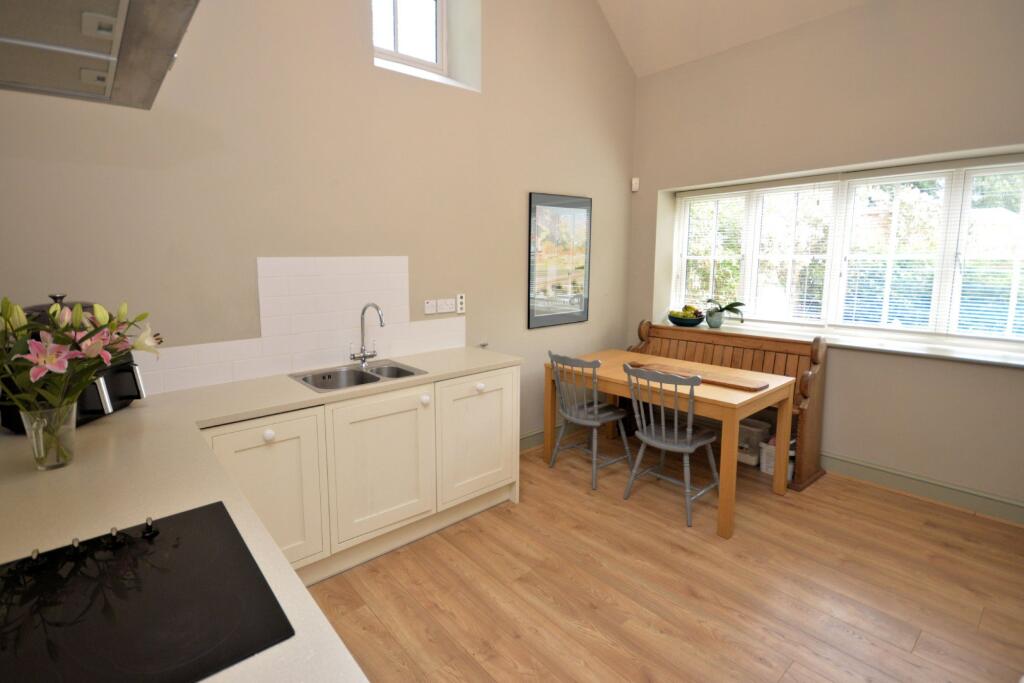
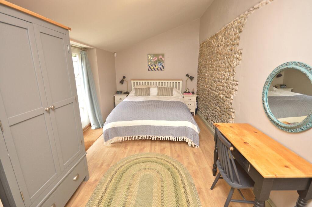
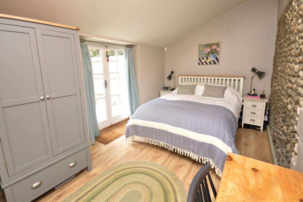
Holt
By Sowerbys
£ 1,275
Sowerbys says ..
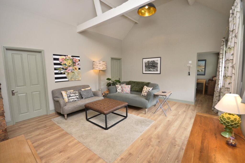
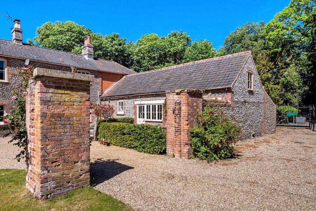
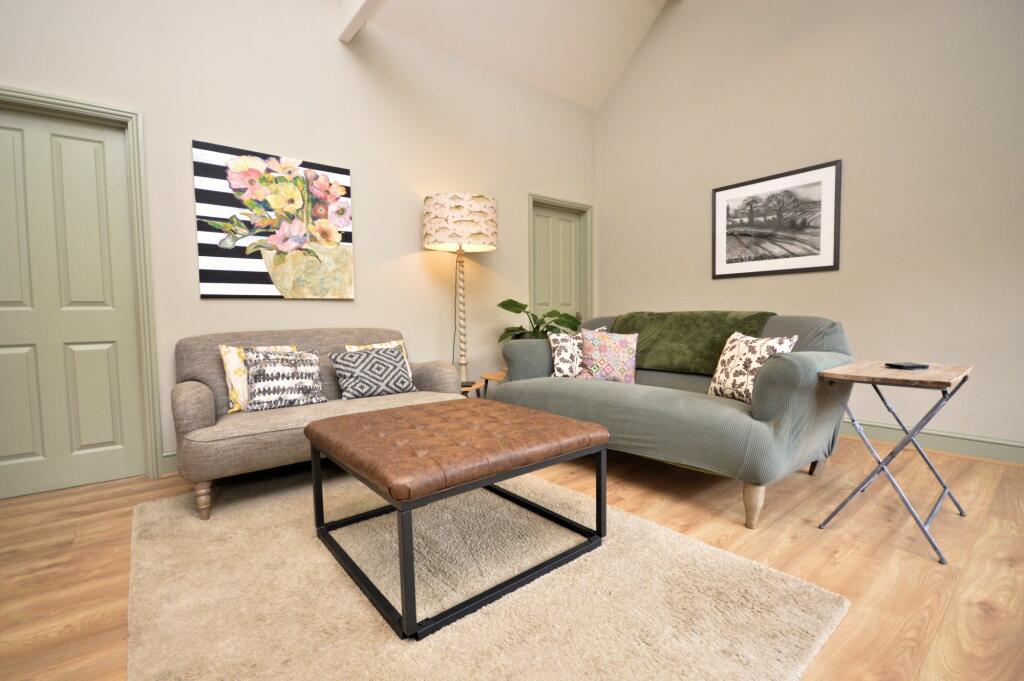
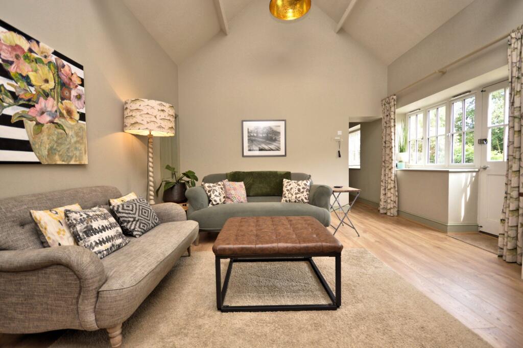
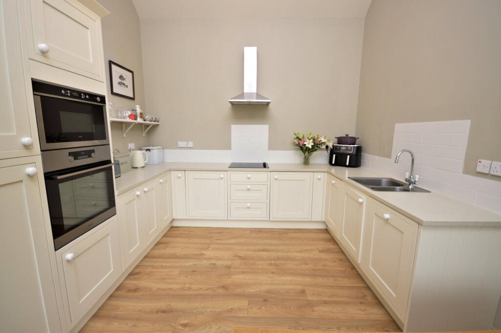
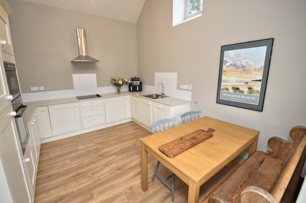
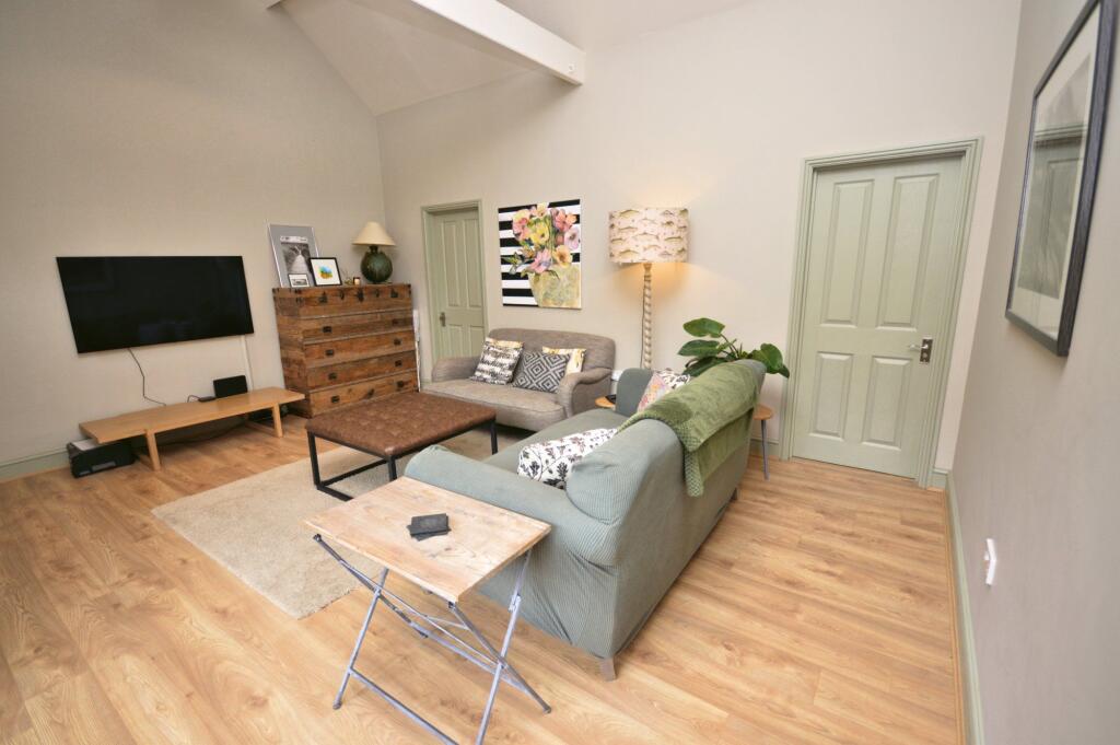
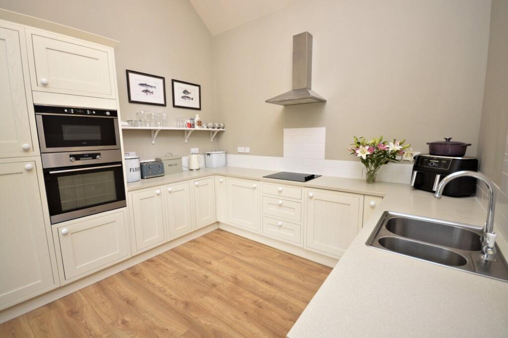
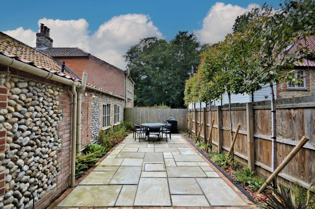
Part of a small, prestigious gated development, this property is set within a private wooded environment on the outskirts of Holt and is available from 4th October on an initial 12-month tenancy.
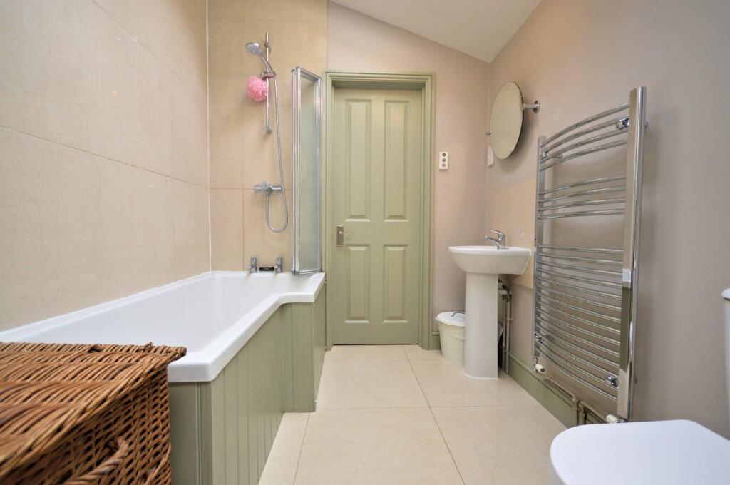
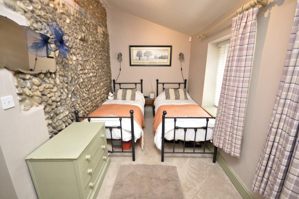
- Bedrooms
- 2
- Bathrooms
- 1
The heatmap indicates the level of crime in the area. The color of the heatmap indicates the crime severity and recency.
Metrics Year-on-Year
- Average area value
- 398,765.00 £Decreased by 0.35 %
- Average area rental value
- 1,263.00 £/moIncreased by 3.52 %
- Est rental Yield
- 3.80 %Increased by 3.83 %
- Crime Rate
- 7.00 %Unchanged by 0.00 %
from 400,154.00 £
from 1,220.00 £/mo
from 3.66 %
from 7.00 %
Agent Activity
Sowerbys created the listing.
Nearby Schools
| Name | Type | Ofsted | Distance |
|---|---|---|---|
| Gresham'S School | Other Independent School | 0.28 KM | |
| Corpusty And Holt Area Children'S Centre | Children's Centre | 1.33 KM | |
| Holt Community Primary School | Community School | Good | 2.23 KM |
| Kelling Ce Primary School | Voluntary Aided School | Good | 3.82 KM |
| Astley Primary School | Academy Converter | 8.72 KM |
Images


Nearby Streets
| Name | Average Price | Average Sqft | Distance |
|---|---|---|---|
| Holly Close | £ 625,000 | 0 | 0.00 KM |
| Lockhart Drive | £ 0 | 0 | 0.00 KM |
| Magpie Close | £ 533,167 | 0 | 0.00 KM |
| Partridge Way | £ 341,000 | 0 | 0.00 KM |
| Barn Owl Drive | £ 325,000 | 0 | 0.00 KM |
Nearby Listings
| Address | Price | Type | Score | Distance |
|---|---|---|---|---|
| Holt | £ 1,350 | RENT | Unknown | 0.00 KM |
| Holt | £ 1,275 | RENT | Unknown | 0.00 KM |
| Holt | £ 1,050 | RENT | Unknown | 0.40 KM |
| Arkell Avenue, Holt | £ 1,000 | RENT | Unknown | 0.49 KM |
| Arkell Avenue, Holt, Norfolk, NR25 | £ 1,000 | RENT | Unknown | 0.49 KM |
Nearby Properties
| Address | Price | Distance |
|---|---|---|
| Stone Lodge | £ 630,000 | 0.13 KM |
| 76 Grove Lane | £ 475,000 | 0.13 KM |
| 68 Grove Lane | £ 63,500 | 0.13 KM |
| 48 Grove Lane | £ 637,500 | 0.13 KM |
| 50 Grove Lane | £ 400,000 | 0.13 KM |