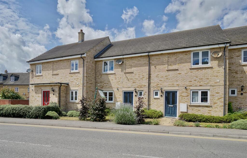

Sunderland Road, Sandy
By Lane & Browns
£ 1,150
Lane & Browns says ..
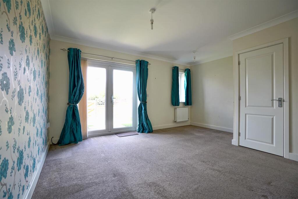
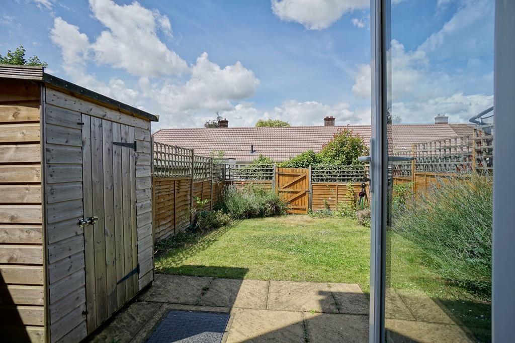
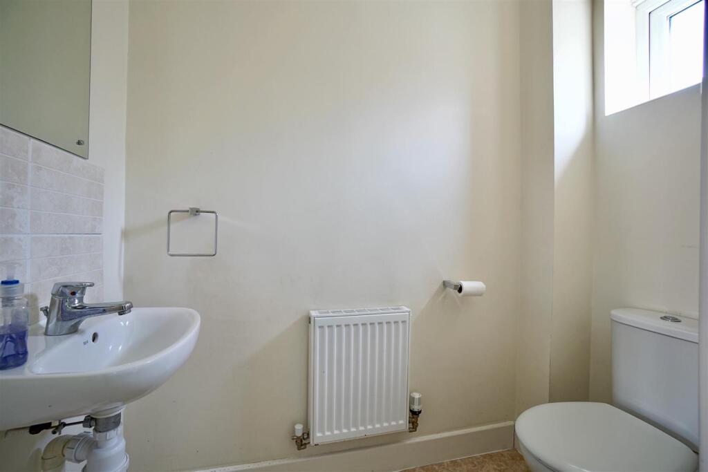
**PLEASE DO NOT CALL - VIEWINGS VIA EMAIL ONLY** Three-bedroom terraced house. The property features a welcoming hall that leads to a cloakroom, enhancing the practicality of everyday living. The Lounge/Diner is perfect for relaxation. and the kitchen is well equipped. The hous...
- Bedrooms
- 3
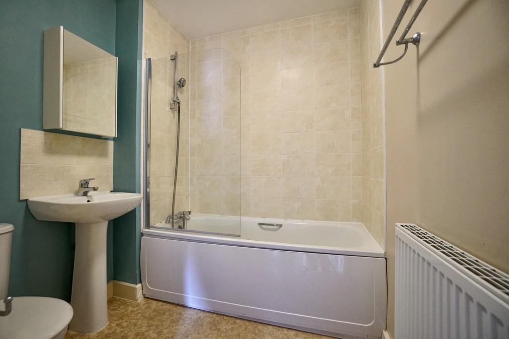
- Bathrooms
- 1
The heatmap indicates the level of crime in the area. The color of the heatmap indicates the crime severity and recency.
Metrics Year-on-Year
- Average area value
- 333,300.00 £Decreased by 17.56 %
- Average area rental value
- 1,110.00 £/moDecreased by 14.22 %
- Est rental Yield
- 4.00 %Increased by 4.17 %
- Crime Rate
- 38.00 %Unchanged by 0.00 %
from 404,272.00 £
from 1,294.00 £/mo
from 3.84 %
from 38.00 %
Agent Activity
Lane & Browns created the listing.
Nearby Schools
| Name | Type | Ofsted | Distance |
|---|---|---|---|
| Robert Peel Primary School | Foundation School | Good | 0.33 KM |
| Sandy Childrens Centre | Children's Centre | 0.46 KM | |
| Laburnum Primary School | Foundation School | Good | 0.52 KM |
| St Swithun'S Church Of England Vc Primary School | Voluntary Controlled School | Good | 0.68 KM |
| Sandy Secondary School | Foundation School | Good | 0.89 KM |
Images


Nearby Streets
| Name | Average Price | Average Sqft | Distance |
|---|---|---|---|
| Edgecumbe Court | £ 0 | 0 | 0.00 KM |
| Belfry Court | £ 0 | 0 | 0.00 KM |
| Newton Way | £ 0 | 0 | 0.00 KM |
| College Road | £ 0 | 0 | 0.00 KM |
| Birch Grove | £ 432,475 | 0 | 0.00 KM |
Nearby Transport
| Name | NLC | TLC | Distance |
|---|---|---|---|
| Sandy | 6172 | SDY | 1.10 KM |
| Biggleswade | 6170 | BIW | 5.93 KM |
Nearby Listings
| Address | Price | Type | Score | Distance |
|---|---|---|---|---|
| Sunderland Road, Sandy | £ 1,150 | RENT | Unknown | 0.00 KM |
| Sunderland Road, Sandy, SG19 | £ 1,250 | RENT | Unknown | 0.07 KM |
| 6 Bedford Road , Sandy, SG19 | £ 950 | RENT | Unknown | 0.08 KM |
| Market Square Sandy Beds | £ 895 | RENT | Unknown | 0.17 KM |
| Faynes Court, Sandy, SG19 | £ 1,200 | RENT | Unknown | 0.19 KM |
Nearby Properties
| Address | Price | Distance |
|---|---|---|
| 20 Sunderland Road | £ 141,000 | 0.07 KM |
| 2 Sunderland Road | £ 370,000 | 0.07 KM |
| 10 Sunderland Road | £ 172,500 | 0.07 KM |
| 8 Sunderland Road | £ 205,000 | 0.07 KM |
| 16 Sunderland Road | £ 210,000 | 0.07 KM |