Wyresdale Road, Liverpool, L9
By Purplebricks
£ 155,000
Reviews
3 out of 5 stars
Purplebricks says ..
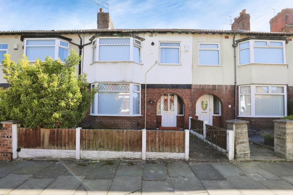
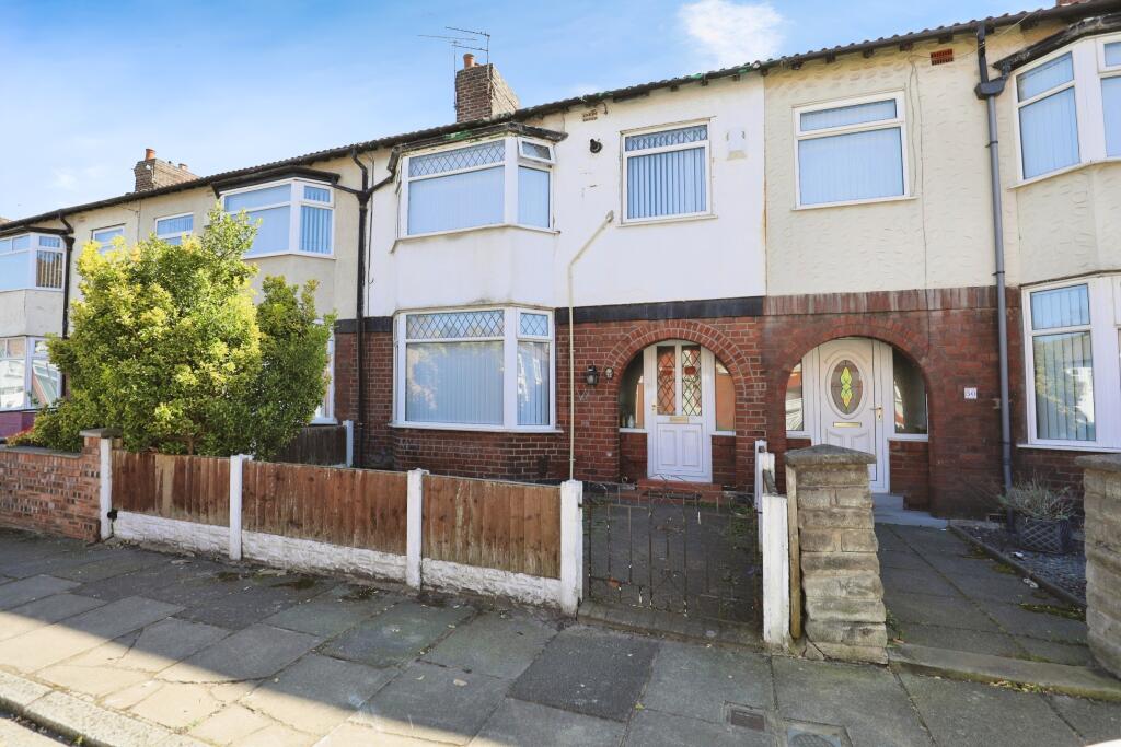
Welcome to this well-presented three-bedroom terraced home on Wyresdale Road, Liverpool, L9 0JS – an ideal opportunity for first-time buyers and growing families alike. Perfectly positioned close to a range of local amenities, schools, and transport links, this property offers a comfortable and p...
Property Oracle says ..
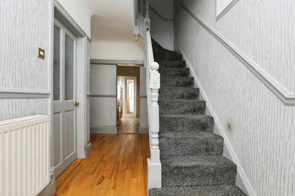
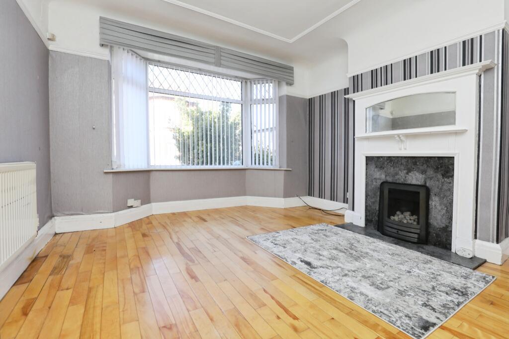
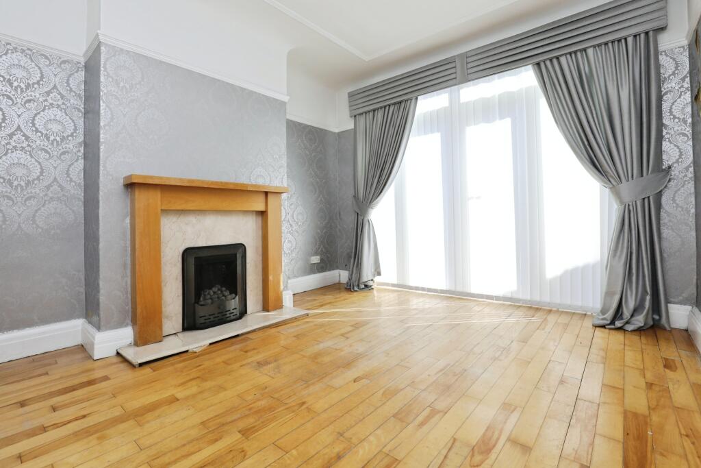
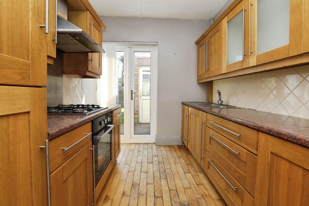
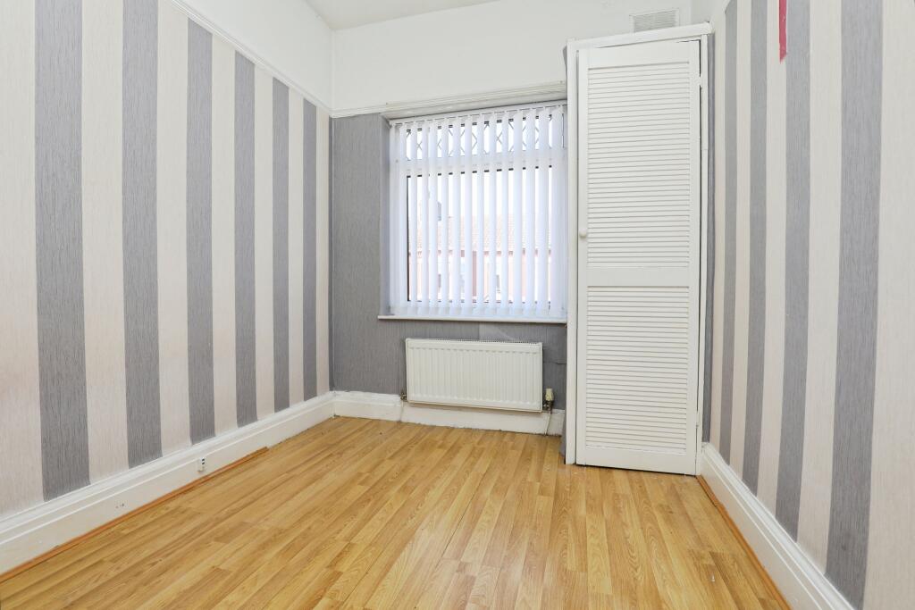
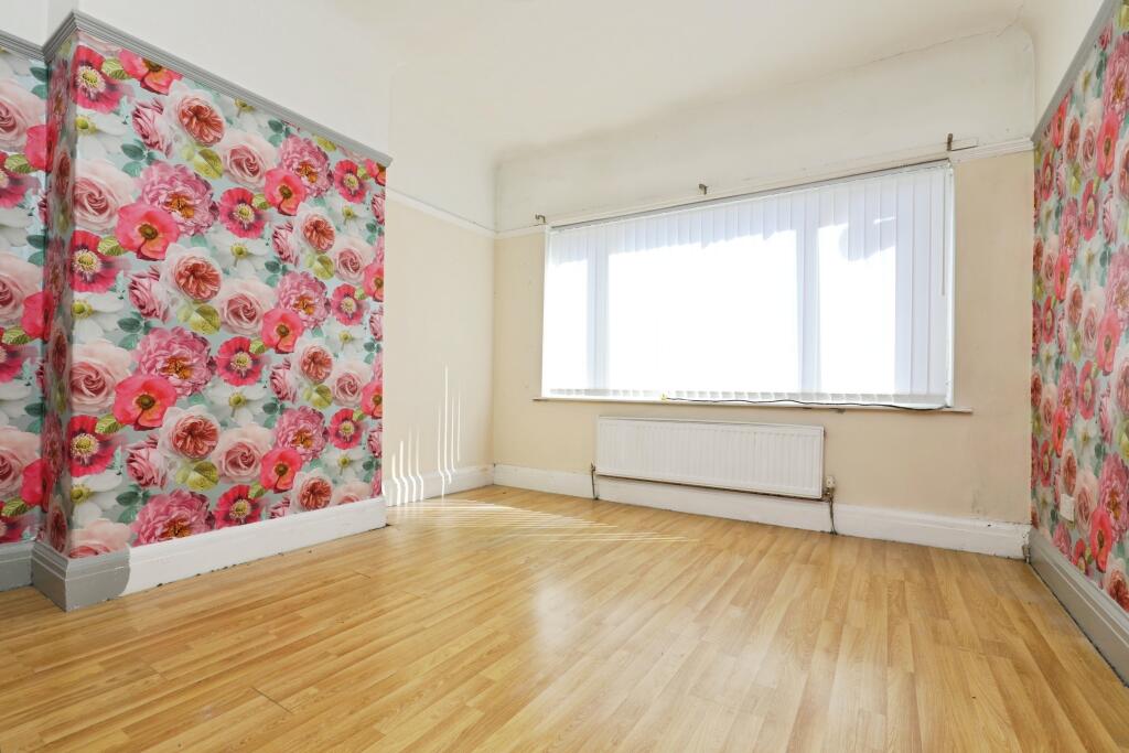
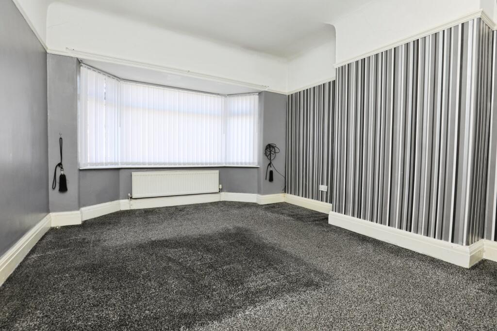
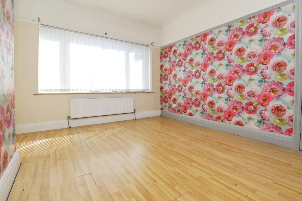
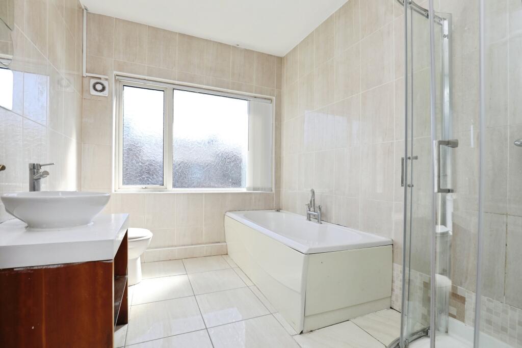
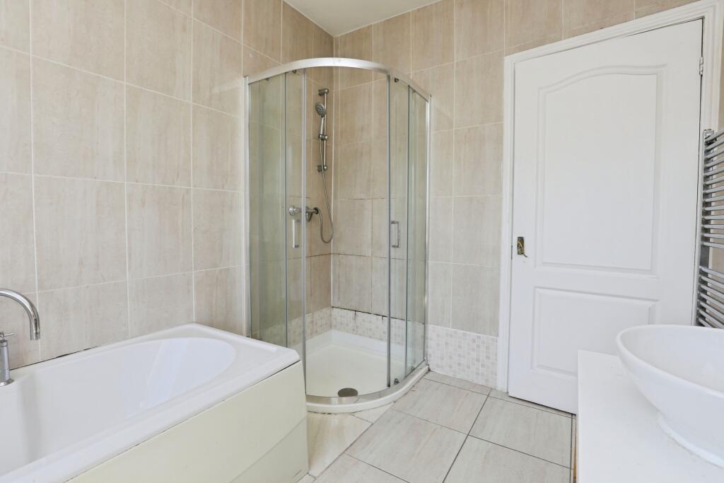
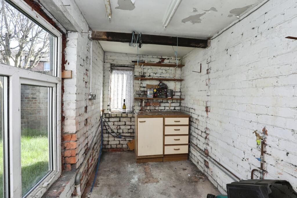
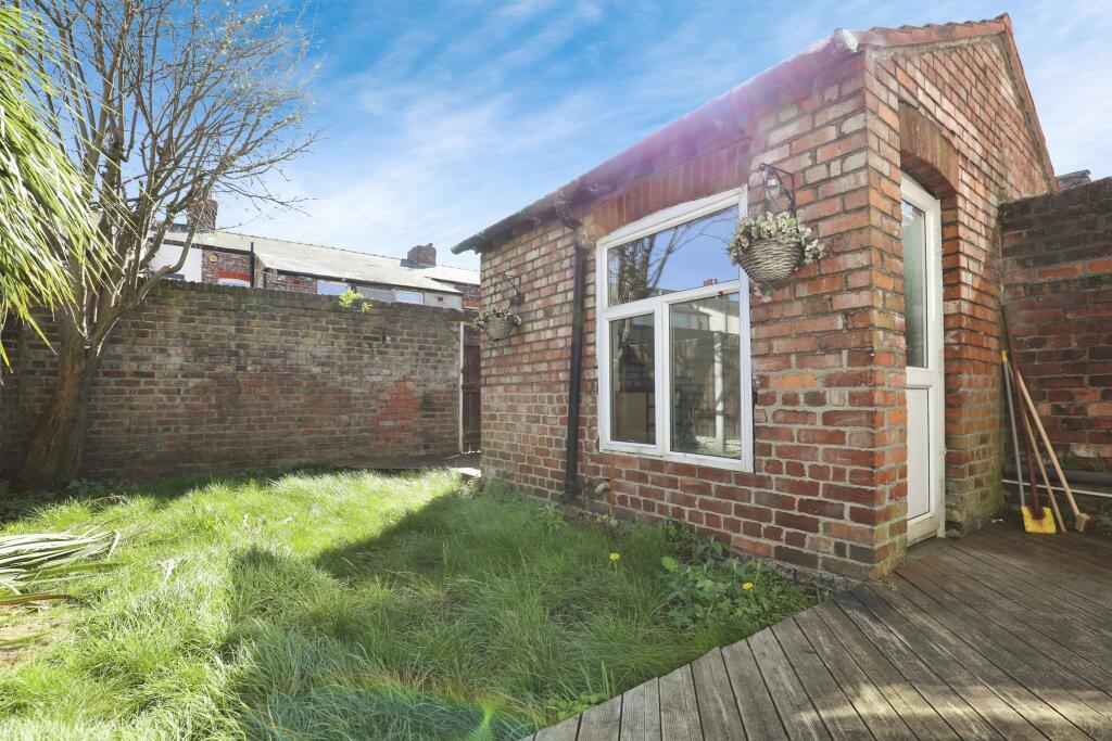
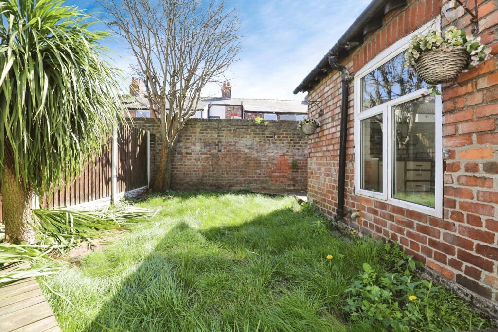
This property is a 3-bedroom terraced house located on Wyresdale Road in Fazakerley, Liverpool. The property benefits from a rear garden and is within reasonable proximity to several schools and transport links. The property appears to be in need of some modernisation. Whilst the bathroom appears to have been recently updated, the rest of the property shows signs of wear and tear, particularly the interior decor and flooring. The garden also appears to be somewhat overgrown. Considering the average house price in the area is £194,853 and the average price per square foot is £182, the asking price of £155,000 may represent good value, however, this is contingent upon the size of the property (which is not provided) and the extent of work required. Nearby comparable properties on Wyresdale Road have sold for between £87,500 and £175,000, indicating some price variability in the area. The lack of square footage information for the subject property and its comparables makes a definitive price assessment challenging. The location is reasonably convenient, with several schools and Merseyrail stations within a short distance. However, the quality of the local schools varies, with one requiring improvement according to Ofsted. The property has a small rear garden, but it is currently unkempt.
Therefore, we give this property 6 / 10. *Disclaimer: This is our option and does constitute a recommendation or financial advice. Do your own research. *
- Price
- 7
- Condition
- 6
- Location
- 7
- Land
- 5
- Bedrooms
- 3
- Bathrooms
- 1
- Lot (est)
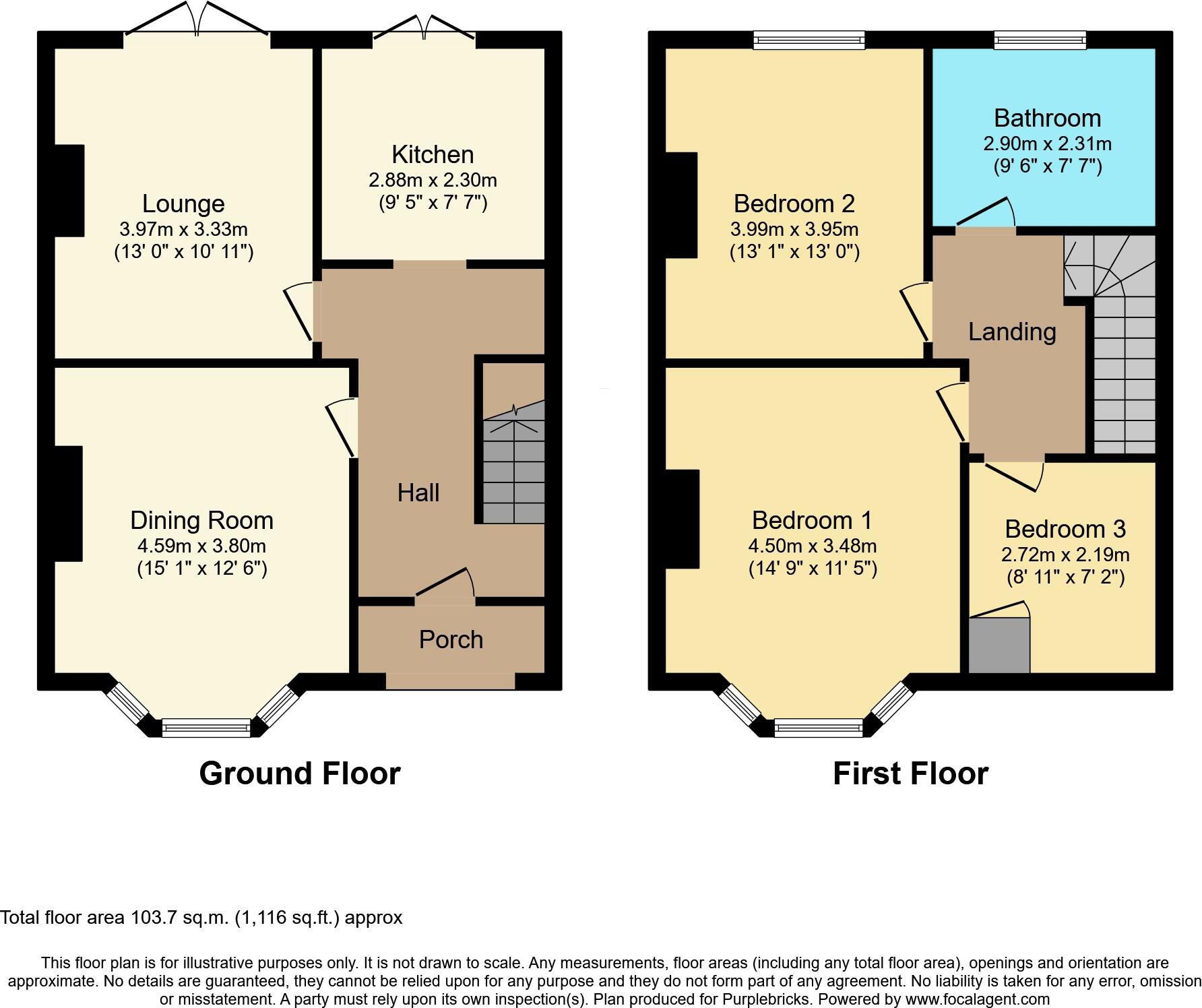
- 1,116.00
The heatmap indicates the level of crime in the area. The color of the heatmap indicates the crime severity and recency.
Metrics Year-on-Year
- Average area value
- 191,661.00 £Increased by 27.22 %
- Average area rental value
- 880.00 £/moIncreased by 5.39 %
- Est rental Yield
- 5.51 %Decreased by 17.14 %
- Crime Rate
- 9.00 %Unchanged by 0.00 %
Agent Activity
Purplebricks created the listing.
Nearby Schools
| Name | Type | Ofsted | Distance |
|---|---|---|---|
| Longmoor Community Primary School | Community School | Good | 0.45 KM |
| Blessed Sacrament Catholic Primary School | Voluntary Aided School | Good | 0.77 KM |
| Archbishop Beck Catholic College | Voluntary Aided School | Requires improvement | 0.79 KM |
| Barlows Primary School | Community School | Good | 1.39 KM |
| Rice Lane Primary School And Nursery | Community School | Good | 1.56 KM |
Images
Nearby Streets
| Name | Average Price | Average Sqft | Distance |
|---|---|---|---|
| Brackendale Avenue | £ 137,500 | 0 | 0.00 KM |
| Eastbourne Road | £ 136,667 | 0 | 0.00 KM |
| Albany Road | £ 106,790 | 0 | 0.00 KM |
| Hall Lane | £ 137,500 | 0 | 0.00 KM |
| Redland Road | £ 0 | 0 | 0.00 KM |
Nearby Transport
| Name | NLC | TLC | Distance |
|---|---|---|---|
| Aintree | 2125 | AIN | 0.63 KM |
| Orrell Park | 2247 | OPK | 1.35 KM |
| Rice Lane | 2131 | RIL | 1.59 KM |
| Fazakerley | 2126 | FAZ | 1.84 KM |
| Walton (Merseyside) | 2251 | WAO | 1.97 KM |
Nearby Listings
| Address | Price | Type | Score | Distance |
|---|---|---|---|---|
| Wyresdale Road, Liverpool, L9 | £ 155,000 | BUY | 6 / 10 | 0.00 KM |
| Worrow Road, Liverpool, Merseyside, L11 | £ 135,000 | BUY | 5 / 10 | 0.00 KM |
| Wyresdale Road, Liverpool, Merseyside, L9 | £ 120,000 | BUY | Unknown | 0.01 KM |
| Wyresdale Road, Liverpool | £ 175,000 | BUY | 7 / 10 | 0.02 KM |
| Eastbourne Road, Liverpool, Merseyside, L9 | £ 143,000 | BUY | 5 / 10 | 0.03 KM |
Nearby Properties
| Address | Price | Distance |
|---|---|---|
| 50 Wyresdale Road | £ 160,000 | 0.02 KM |
| 10 Wyresdale Road | £ 117,000 | 0.02 KM |
| 48 Wyresdale Road | £ 71,500 | 0.02 KM |
| 64 Wyresdale Road | £ 117,500 | 0.02 KM |
| 58 Wyresdale Road | £ 126,000 | 0.02 KM |