TH
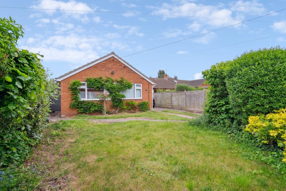
BENSON - EPC RATING D
By Thomas Merrifield
£ 2,000
Thomas Merrifield says ..
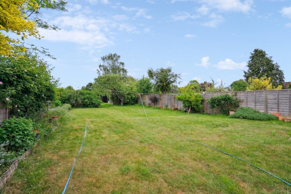
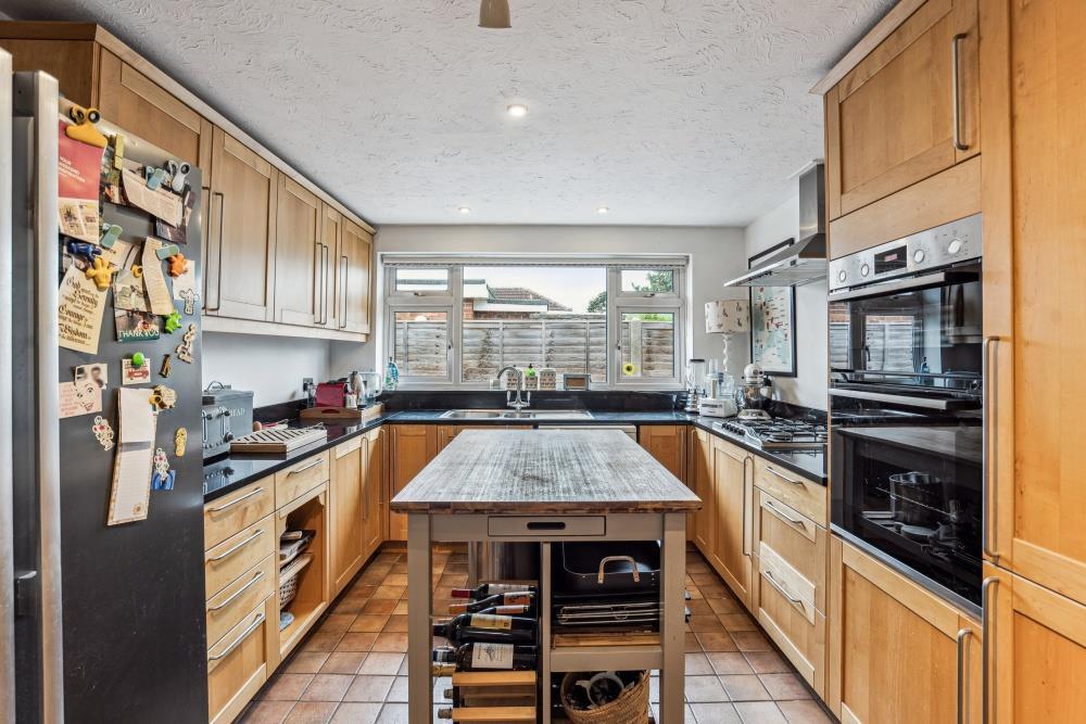
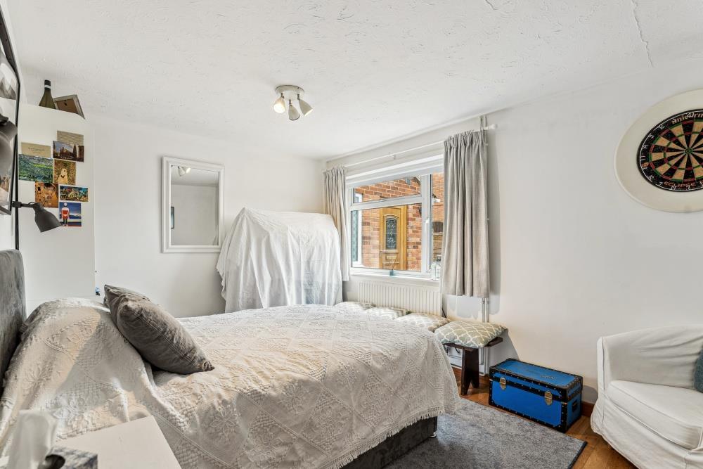
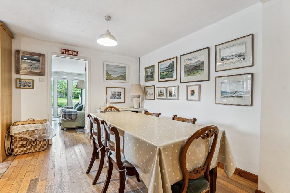
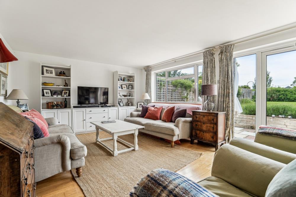
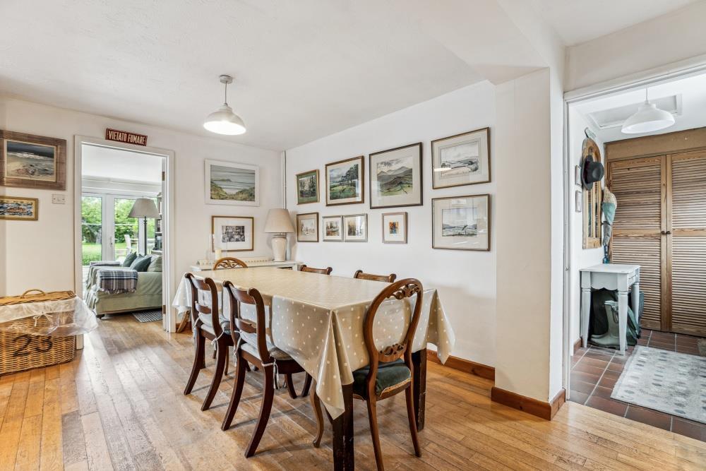
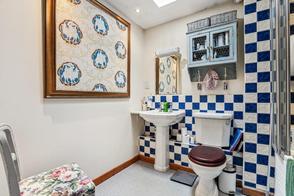
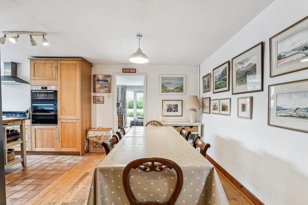
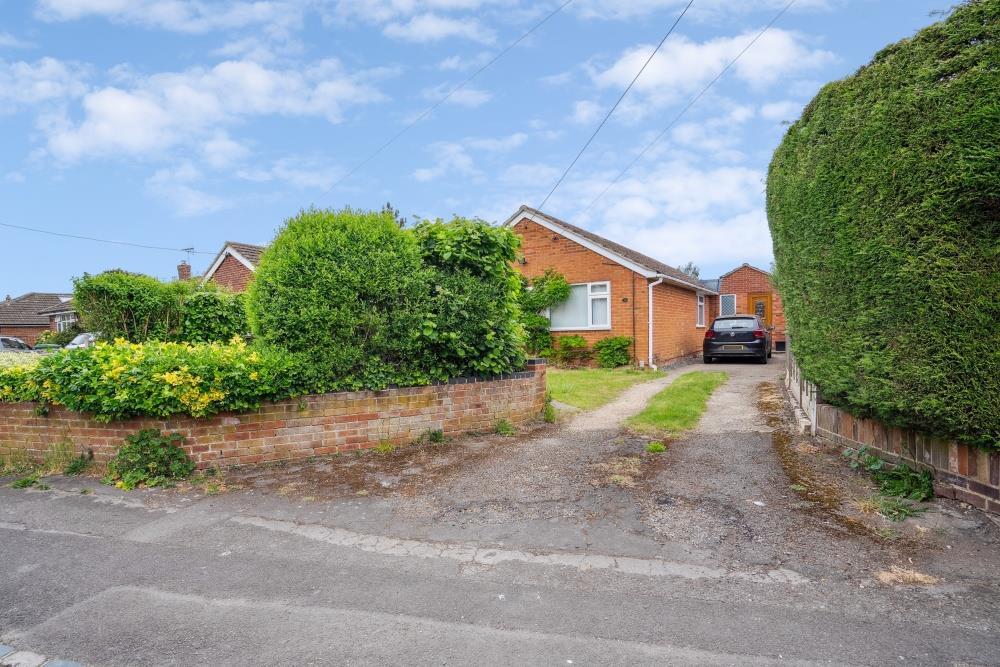
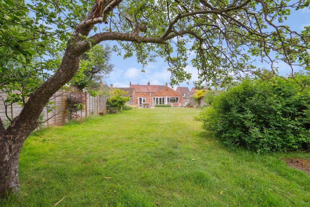
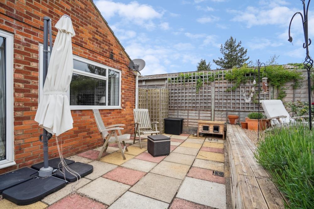
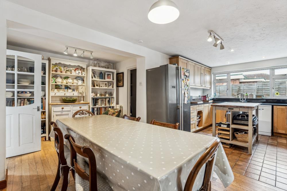
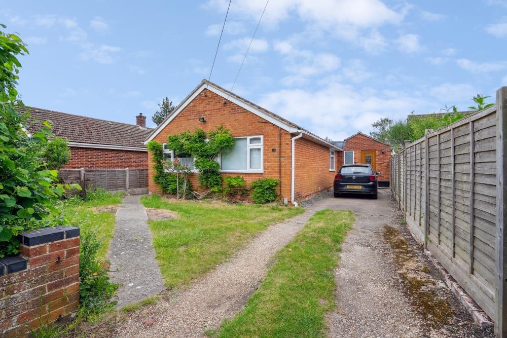
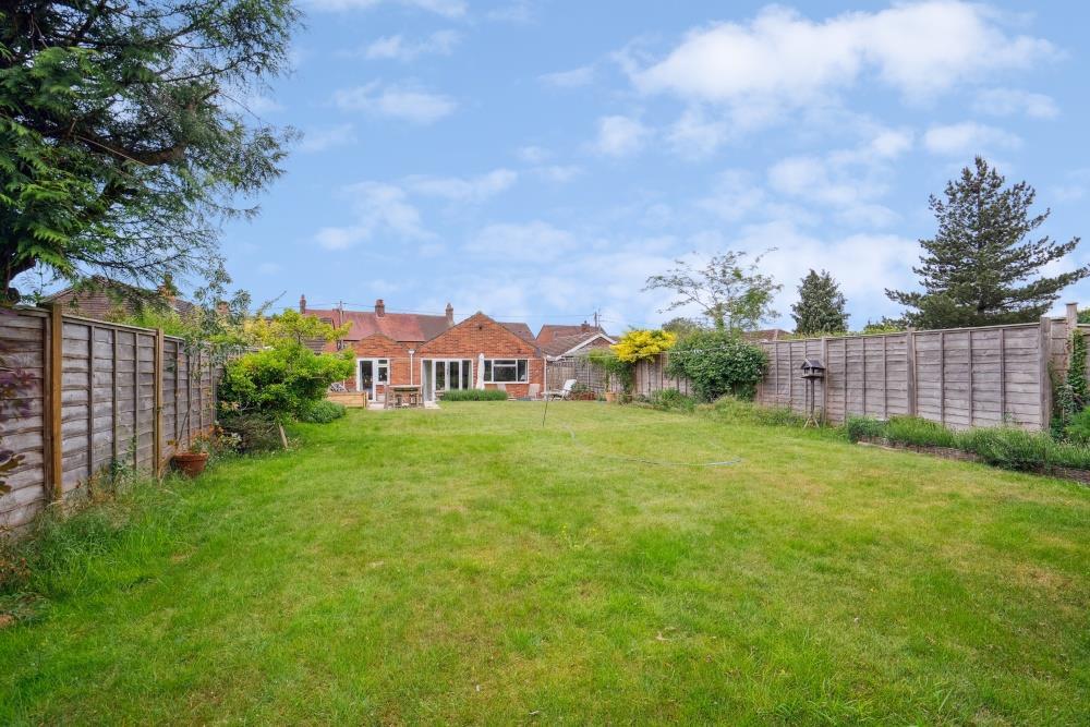
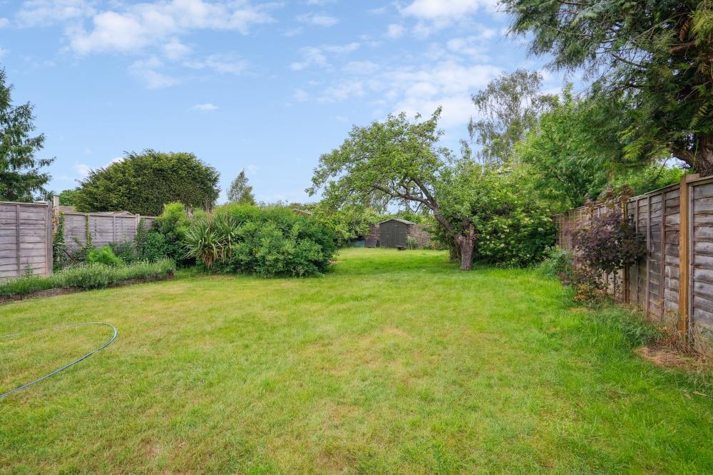
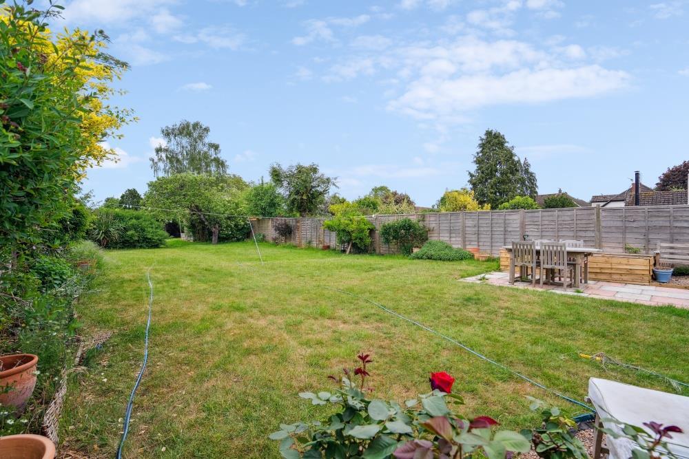
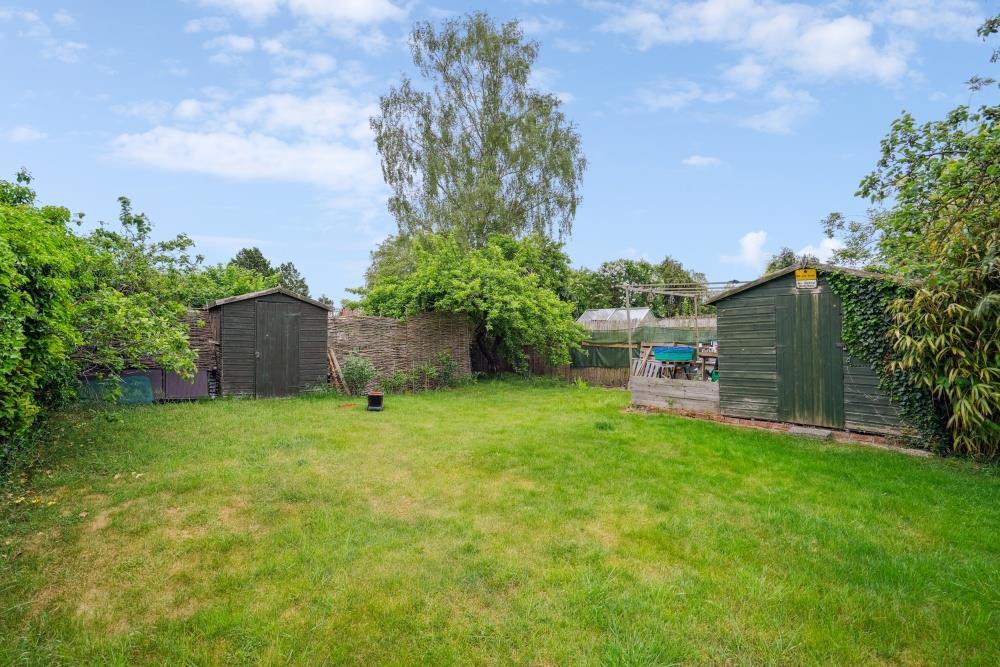
Detached, 4 bedroom extended bungalow located in this sought after village within easy access to the M40. Comprising of fully fitted, open plan kitchen/dining room with gas hob, oven and dishwasher. Utility room with washing machine. Sitting room with doors overlooking the garden. Main bedroo...
- Bedrooms
- 4
- Bathrooms
- 2
The heatmap indicates the level of crime in the area. The color of the heatmap indicates the crime severity and recency.
Metrics Year-on-Year
- Average area value
- 712,500.00 £Decreased by 4.68 %
- Average area rental value
- 1,948.00 £/moIncreased by 5.70 %
- Est rental Yield
- 3.28 %Increased by 10.81 %
- Crime Rate
- 22.00 %Unchanged by 0.00 %
from 747,463.00 £
from 1,843.00 £/mo
from 2.96 %
from 22.00 %
Agent Activity
Thomas Merrifield created the listing.
Nearby Schools
| Name | Type | Ofsted | Distance |
|---|---|---|---|
| Benson Church Of England Primary School | Academy Converter | 0.40 KM | |
| Wallingford School | Academy Converter | Good | 2.72 KM |
| Crowmarsh Gifford Church Of England School | Voluntary Controlled School | Good | 2.76 KM |
| St Nicholas' Church Of England Infants' School And Nursery Class, Wallingford | Academy Converter | 3.19 KM | |
| Raf Benson Community Primary School | Community School | Good | 3.21 KM |
Images


Nearby Streets
| Name | Average Price | Average Sqft | Distance |
|---|---|---|---|
| Mill Lane | £ 631,000 | 0 | 0.00 KM |
| Helen's Way | £ 0 | 0 | 0.00 KM |
| Coach Way | £ 550,000 | 0 | 0.00 KM |
| Benson Relief Road | £ 187,500 | 0 | 0.00 KM |
| Green Close | £ 375,000 | 0 | 0.00 KM |
Nearby Transport
| Name | NLC | TLC | Distance |
|---|---|---|---|
| Cholsey | 3031 | CHO | 7.90 KM |
Nearby Listings
| Address | Price | Type | Score | Distance |
|---|---|---|---|---|
| BENSON - EPC RATING D | £ 2,000 | RENT | Unknown | 0.00 KM |
| Monarchs Court, Benson | £ 1,750 | RENT | Unknown | 0.10 KM |
| High Street, Benson, OX10 | £ 1,500 | RENT | Unknown | 0.13 KM |
| High Street, Benson, Wallingford, Oxfordshire, OX10 | £ 900 | RENT | Unknown | 0.20 KM |
| High Street, Benson | £ 1,750 | RENT | Unknown | 0.20 KM |
Nearby Properties
| Address | Price | Distance |
|---|---|---|
| 29 Chapel Lane | £ 300,000 | 0.02 KM |
| 13 Chapel Lane | £ 60,000 | 0.04 KM |
| 15 Chapel Lane | £ 490,000 | 0.04 KM |
| 25 Chapel Lane | £ 420,000 | 0.04 KM |
| 27a Chapel Lane | £ 179,000 | 0.04 KM |