DU
Kings Road, Brentwood, CM14
By Durden & Hunt
£ 1,300,000
Durden & Hunt says ..
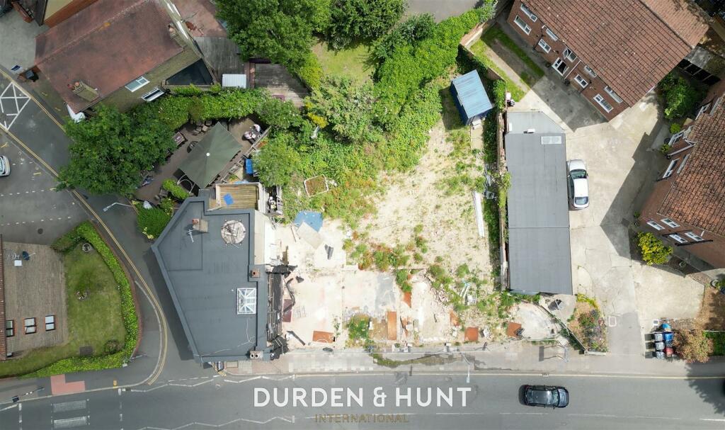
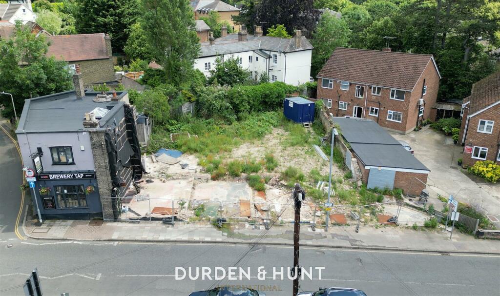
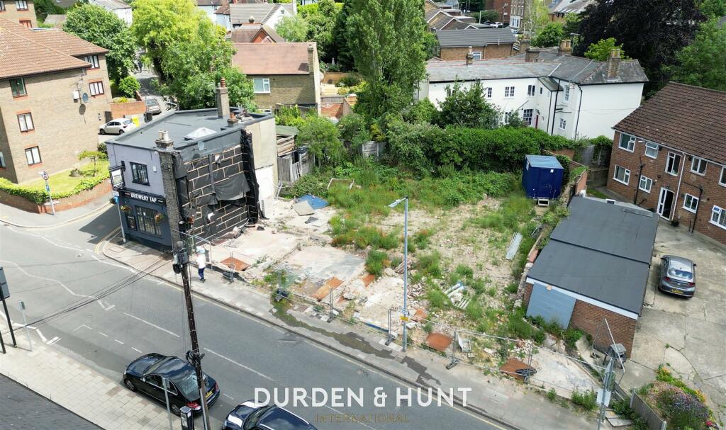
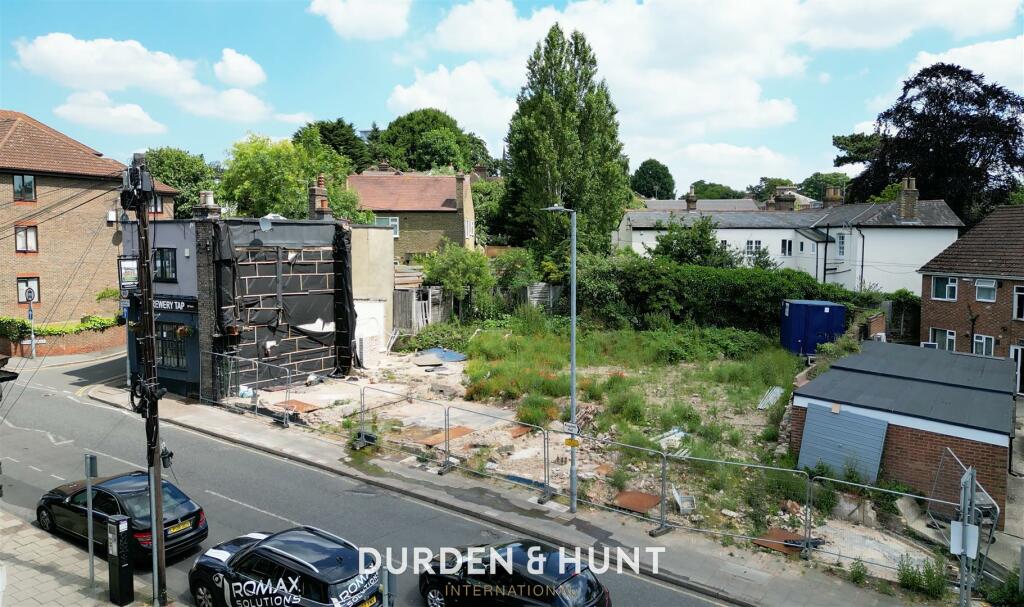
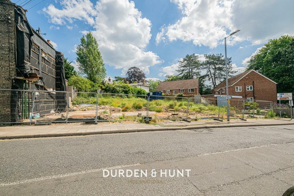
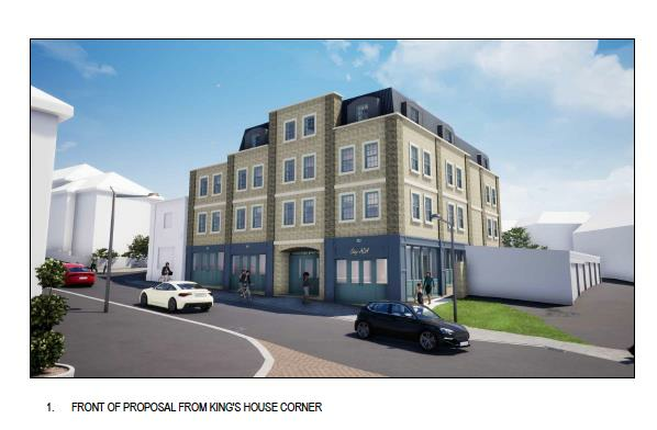
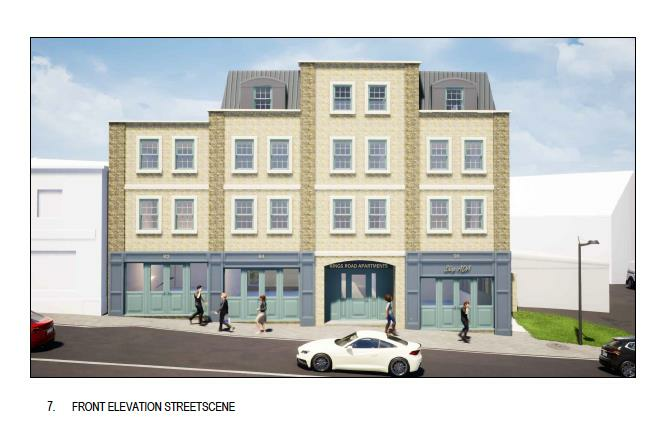
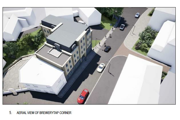
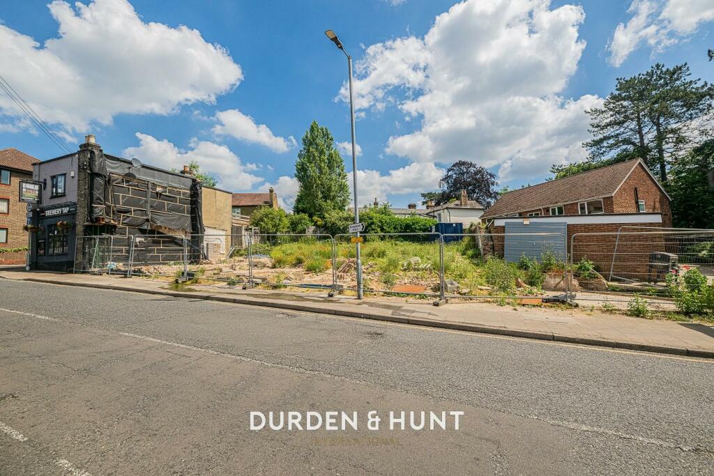
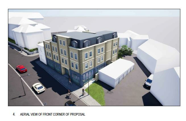
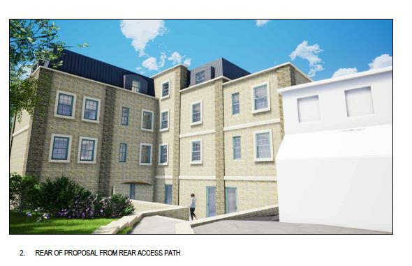
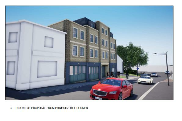
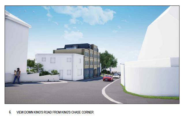
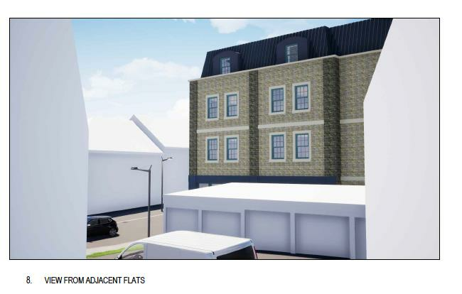
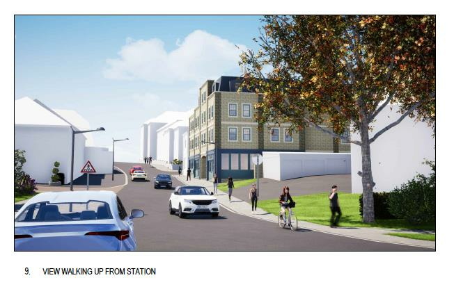
Commercial And Residential Opportunity - Development Site - Planning Permission (21/01138/FUL) - Intended Three Rental Units And Eight Apartments - Excellent Transport Links
- Bedrooms
- 0
- Bathrooms
- 0
The heatmap indicates the level of crime in the area. The color of the heatmap indicates the crime severity and recency.
Metrics Year-on-Year
- Average area value
- 268,750.00 £Decreased by 39.43 %
- Average area rental value
- 1,600.00 £/moIncreased by 12.28 %
- Est rental Yield
- 7.14 %Increased by 85.45 %
- Crime Rate
- 36.00 %Unchanged by 0.00 %
from 443,665.00 £
from 1,425.00 £/mo
from 3.85 %
from 36.00 %
Agent Activity
Durden & Hunt created the listing.
Nearby Schools
| Name | Type | Ofsted | Distance |
|---|---|---|---|
| Brentwood Ursuline Convent High School | Academy Converter | Good | 0.53 KM |
| Brentwood County High School | Academy Sponsor Led | 0.97 KM | |
| Grove House School | Free Schools Special | Good | 1.18 KM |
| Becket Keys Church Of England Free School | Free Schools | Outstanding | 1.22 KM |
| Holly Trees Primary School | Community School | Good | 1.23 KM |
Images
Nearby Streets
| Name | Average Price | Average Sqft | Distance |
|---|---|---|---|
| Kings Road | £ 0 | 0 | 0.00 KM |
| Kings Road | £ 0 | 0 | 0.00 KM |
| Saint James Road | £ 321,618 | 0 | 0.00 KM |
| The Baytree Centre | £ 0 | 0 | 0.00 KM |
| Myrtle Road | £ 850,000 | 0 | 0.00 KM |
Nearby Transport
| Name | NLC | TLC | Distance |
|---|---|---|---|
| Brentwood | 6872 | BRE | 0.32 KM |
| Shenfield | 6888 | SNF | 3.70 KM |
| West Horndon | 7466 | WHR | 7.04 KM |
| Harold Wood | 6879 | HRO | 7.82 KM |
| Upminster | 7464 | UPM | 8.36 KM |
Nearby Properties
| Address | Price | Distance |
|---|---|---|
| 22 Primrose Hill | £ 450,000 | 0.10 KM |
| 20 Primrose Hill | £ 477,000 | 0.10 KM |
| 29 Primrose Hill | £ 385,000 | 0.10 KM |
| 25 Primrose Hill | £ 635,000 | 0.10 KM |
| 16 Primrose Hill | £ 945,800 | 0.10 KM |