
SO
Horning
By Sowerbys
£ 2,000
Sowerbys says ..
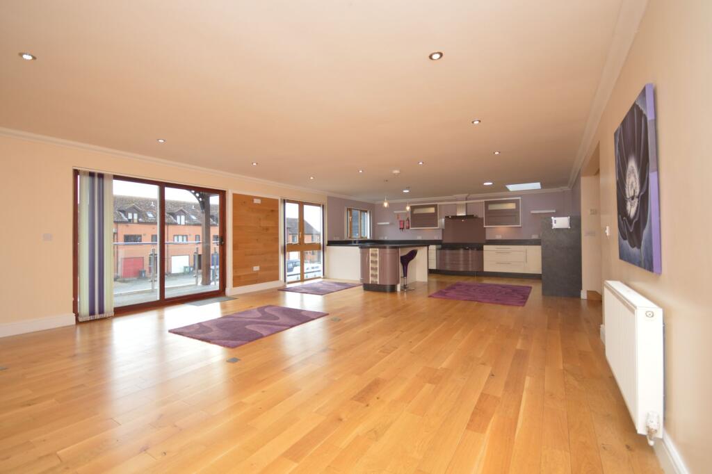
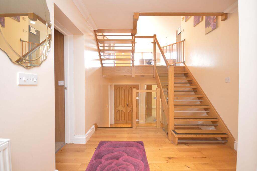
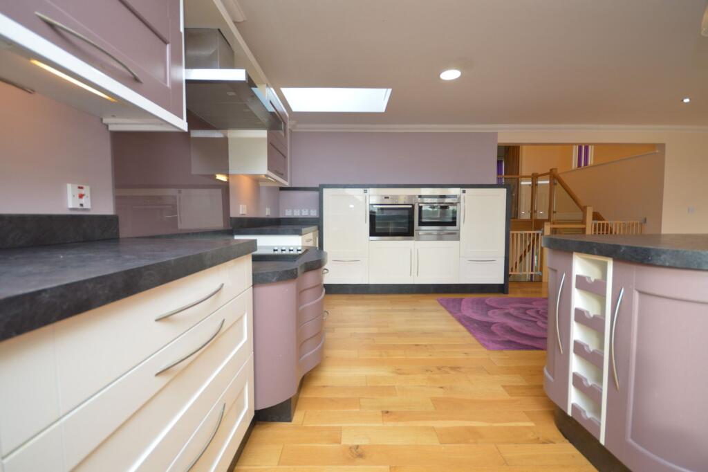
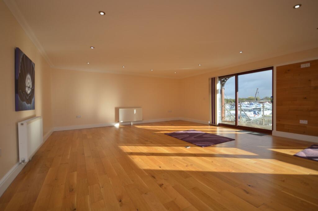
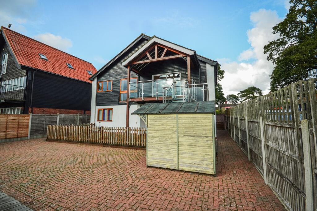
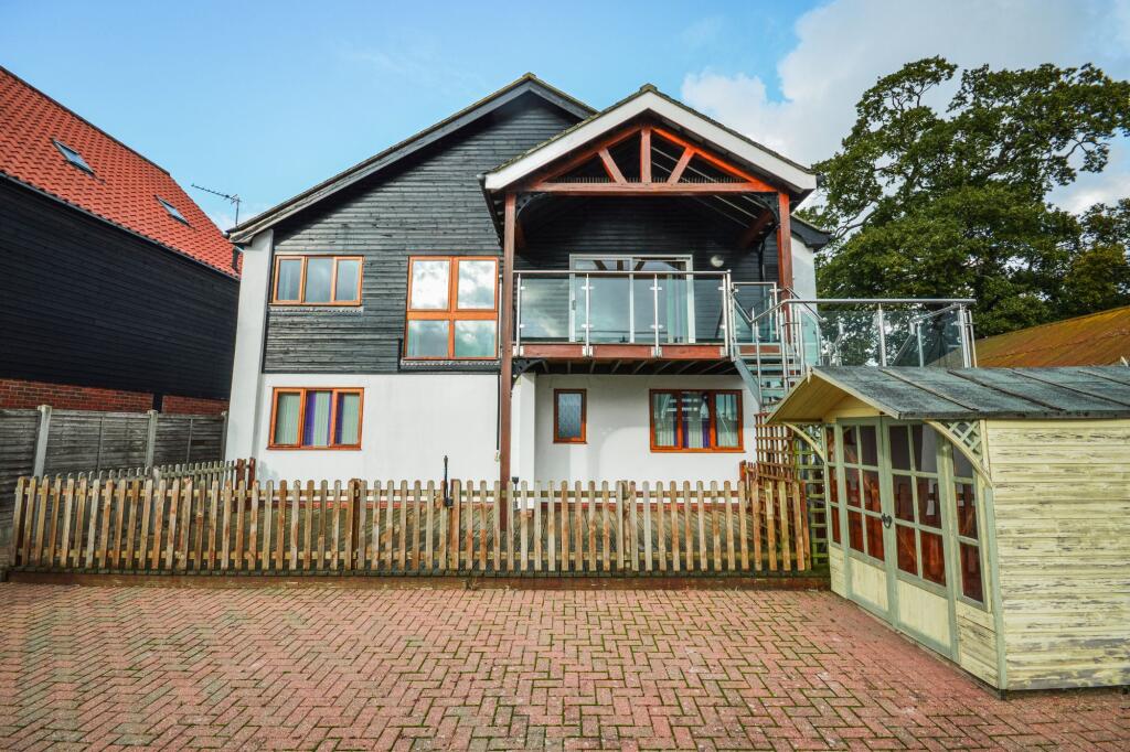
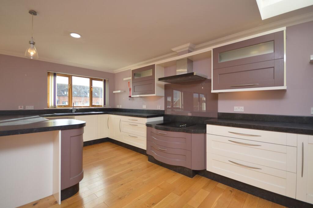
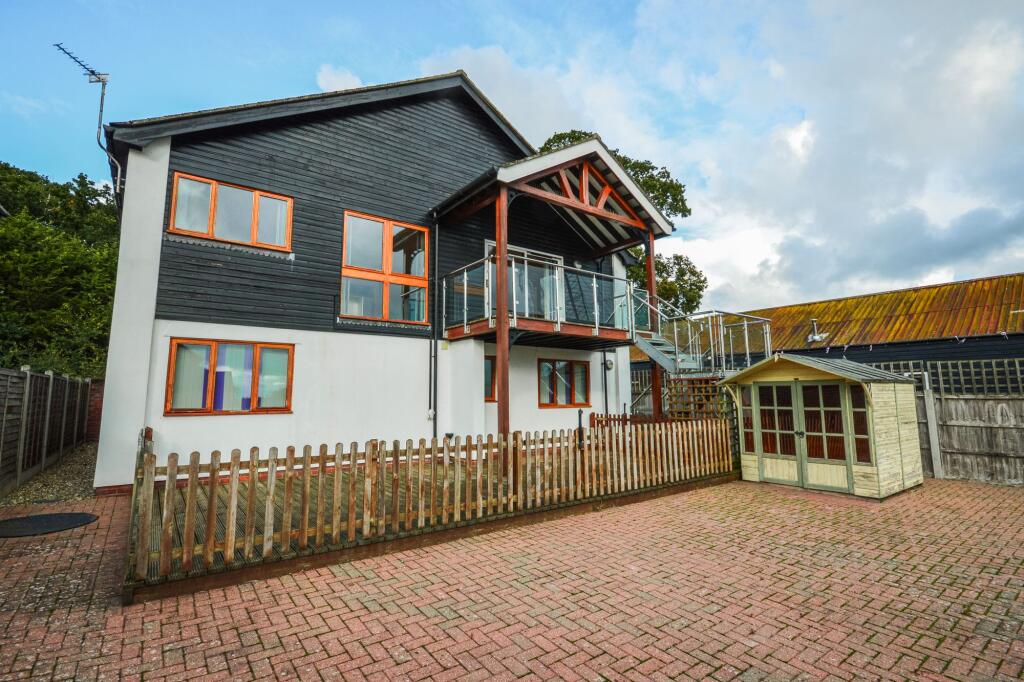
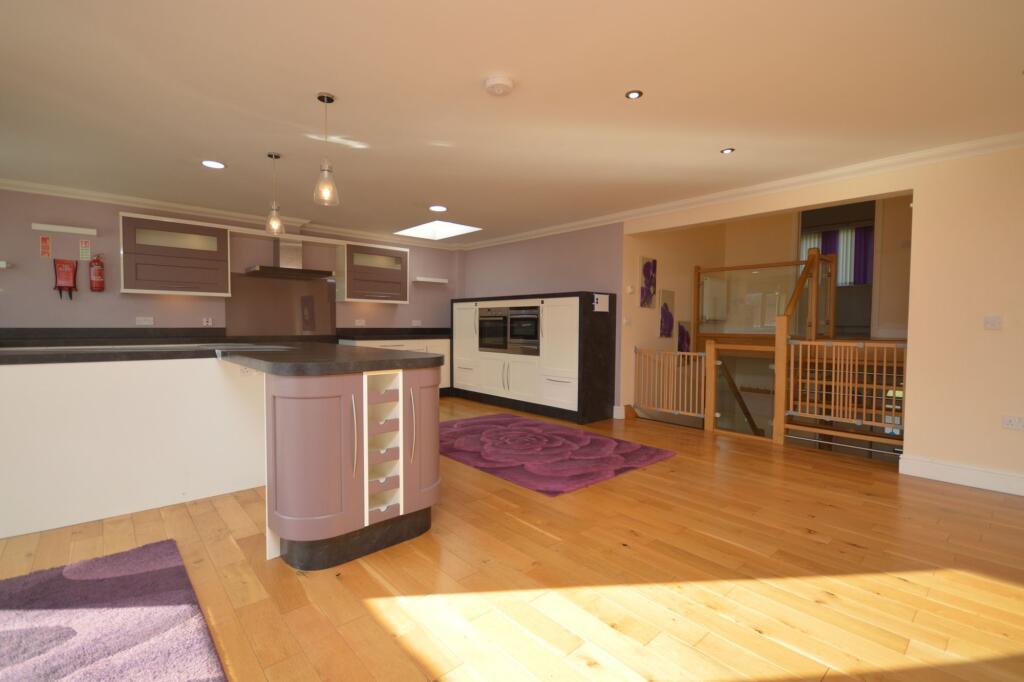
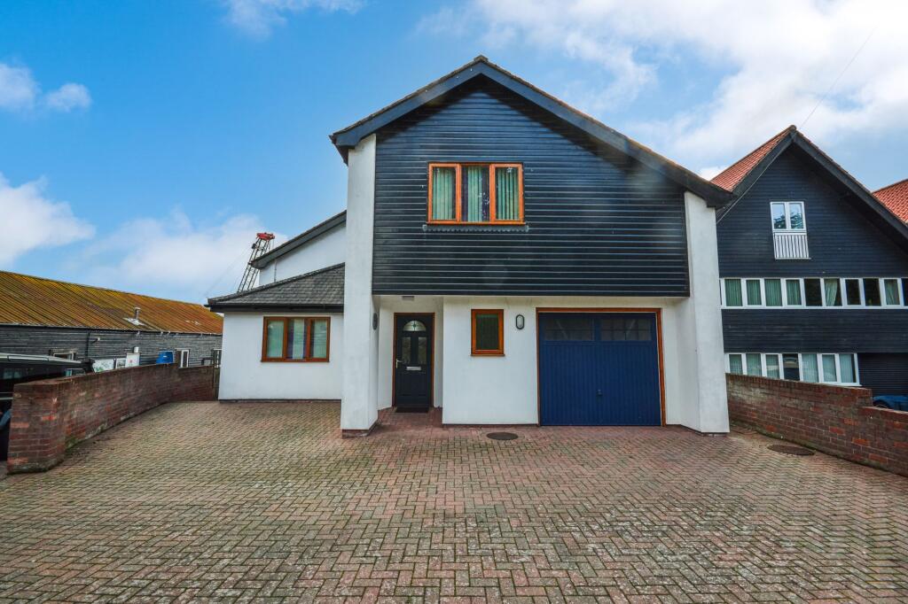
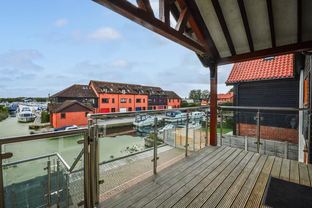
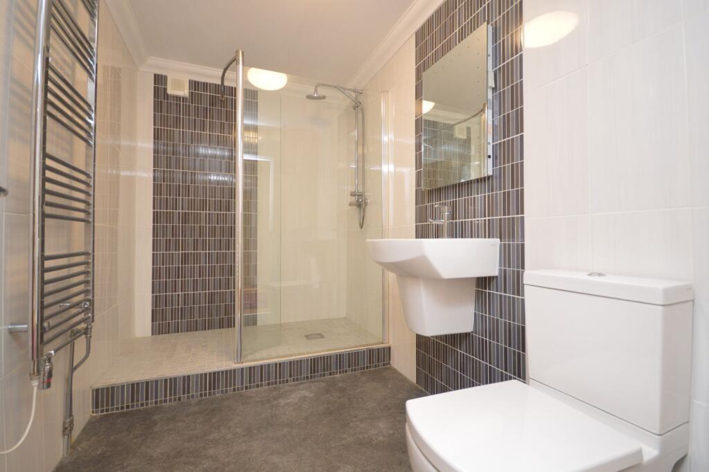
An exceptional south-facing waterside residence in the sought-after village of Horning, available now.
- Bedrooms
- 4
- Bathrooms
- 3
The heatmap indicates the level of crime in the area. The color of the heatmap indicates the crime severity and recency.
Metrics Year-on-Year
- Average area value
- 460,952.00 £Increased by 10.83 %
- Average area rental value
- 1,500.00 £/moIncreased by 12.11 %
- Est rental Yield
- 3.90 %Increased by 1.04 %
- Crime Rate
- 25.00 %Unchanged by 0.00 %
from 415,895.00 £
from 1,338.00 £/mo
from 3.86 %
from 25.00 %
Agent Activity
Sowerbys created the listing.
Nearby Schools
| Name | Type | Ofsted | Distance |
|---|---|---|---|
| Horning Community Primary School | Community School | Good | 0.38 KM |
| Neatishead Church Of England Primary School | Voluntary Controlled School | Outstanding | 3.64 KM |
| Fairhaven Church Of England Voluntary Aided Primary School | Voluntary Aided School | Good | 5.24 KM |
| Hemblington Primary School | Academy Converter | 5.92 KM | |
| St John'S Community Primary School And Nursery | Community School | Good | 6.40 KM |
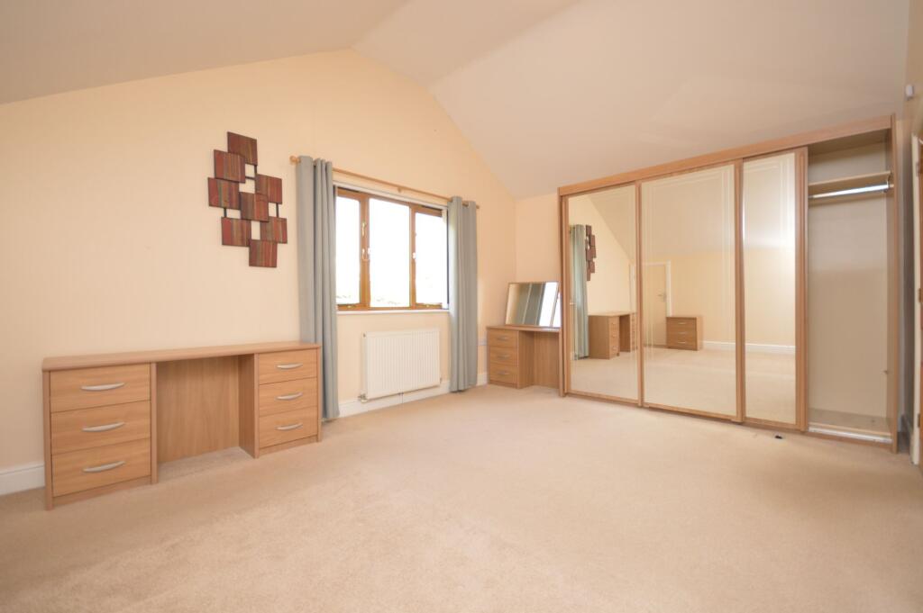
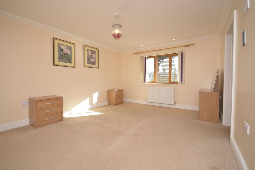
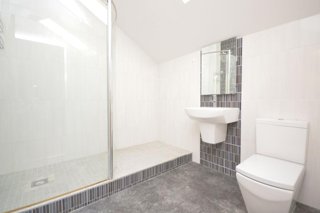
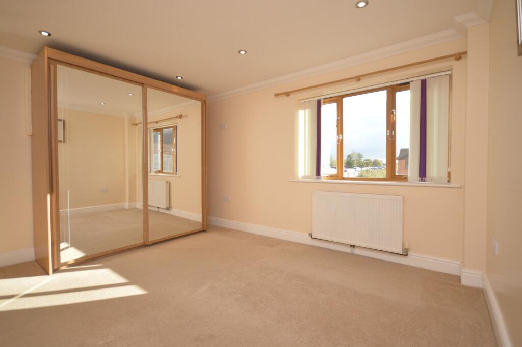
Images


Nearby Streets
| Name | Average Price | Average Sqft | Distance |
|---|---|---|---|
| Benedict Road | £ 0 | 0 | 0.00 KM |
| Long Lane | £ 0 | 0 | 0.00 KM |
| Long Lane | £ 35,000 | 0 | 0.00 KM |
Nearby Transport
| Name | NLC | TLC | Distance |
|---|---|---|---|
| Hoveton And Wroxham | 7327 | HXM | 7.28 KM |
| Lingwood | 7305 | LGD | 8.59 KM |
| Salhouse | 7318 | SAH | 9.13 KM |
| Brundall | 7289 | BDA | 9.32 KM |
Nearby Listings
| Address | Price | Type | Score | Distance |
|---|---|---|---|---|
| Horning | £ 2,000 | RENT | Unknown | 0.00 KM |
| Horning | £ 108 | RENT | Unknown | 0.67 KM |
| Horning | £ 108 | RENT | Unknown | 0.67 KM |
| Lower Street, Horning, NORWICH | £ 1,000 | RENT | Unknown | 1.24 KM |
| Broadwater Way, Horning, NR12 | £ 1,400 | RENT | Unknown | 1.33 KM |
Nearby Properties
| Address | Price | Distance |
|---|---|---|
| Windmill | £ 525,000 | 0.15 KM |
| Dutch Cottage | £ 450,000 | 0.15 KM |
| The Boat House | £ 285,000 | 0.15 KM |
| Eagle Cottage | £ 200,000 | 0.15 KM |
| Fen View | £ 340,000 | 0.19 KM |