
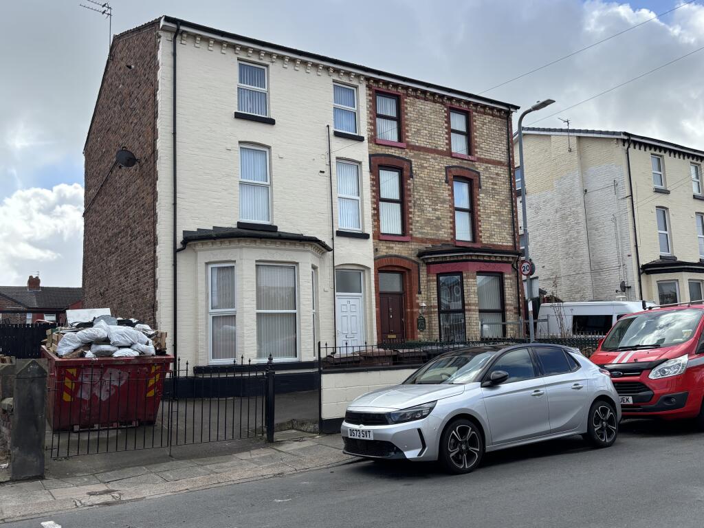
Claremont Road, Liverpool, L21
By Logic
£ 850
Logic says ..
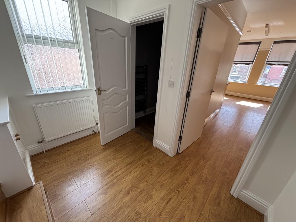
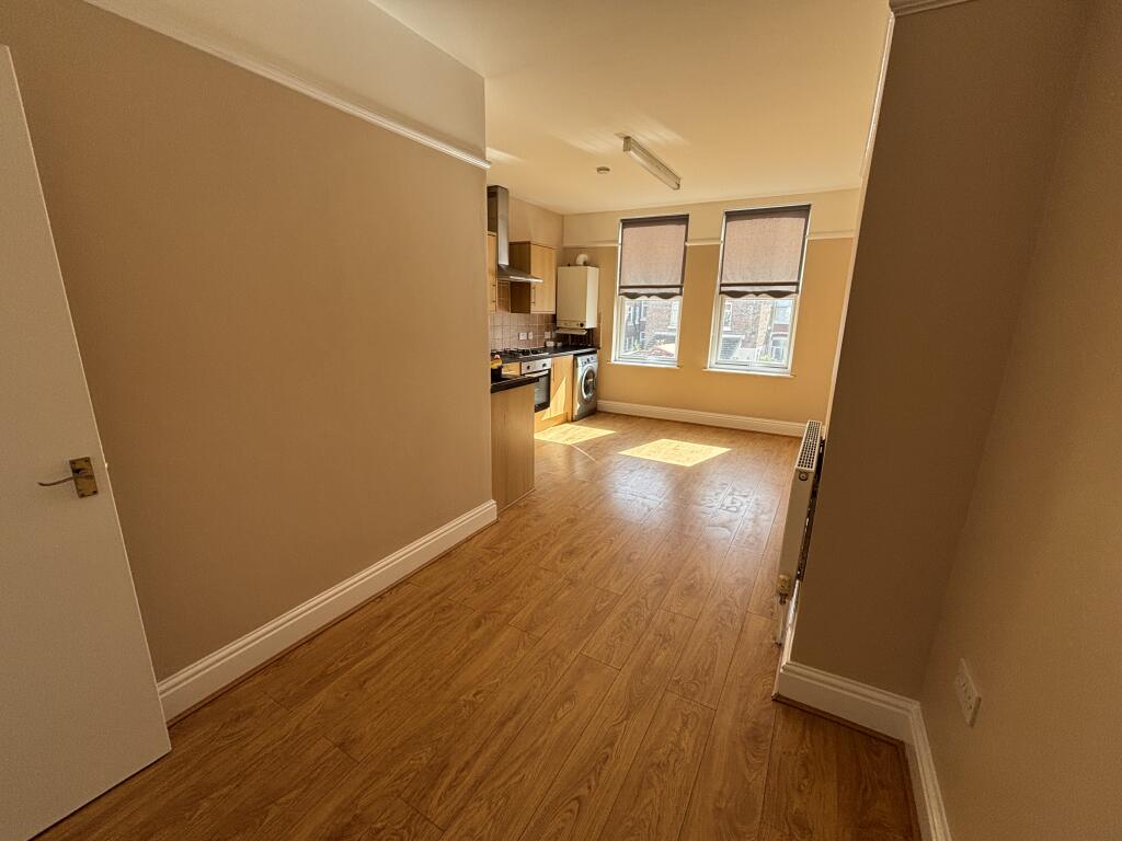
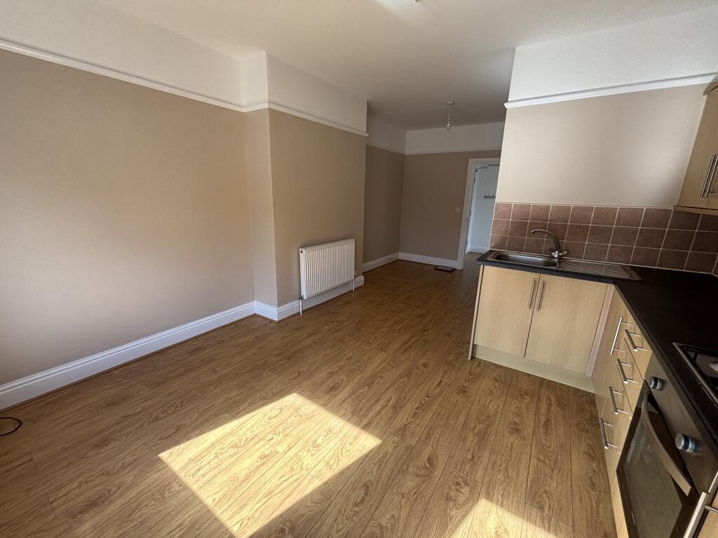
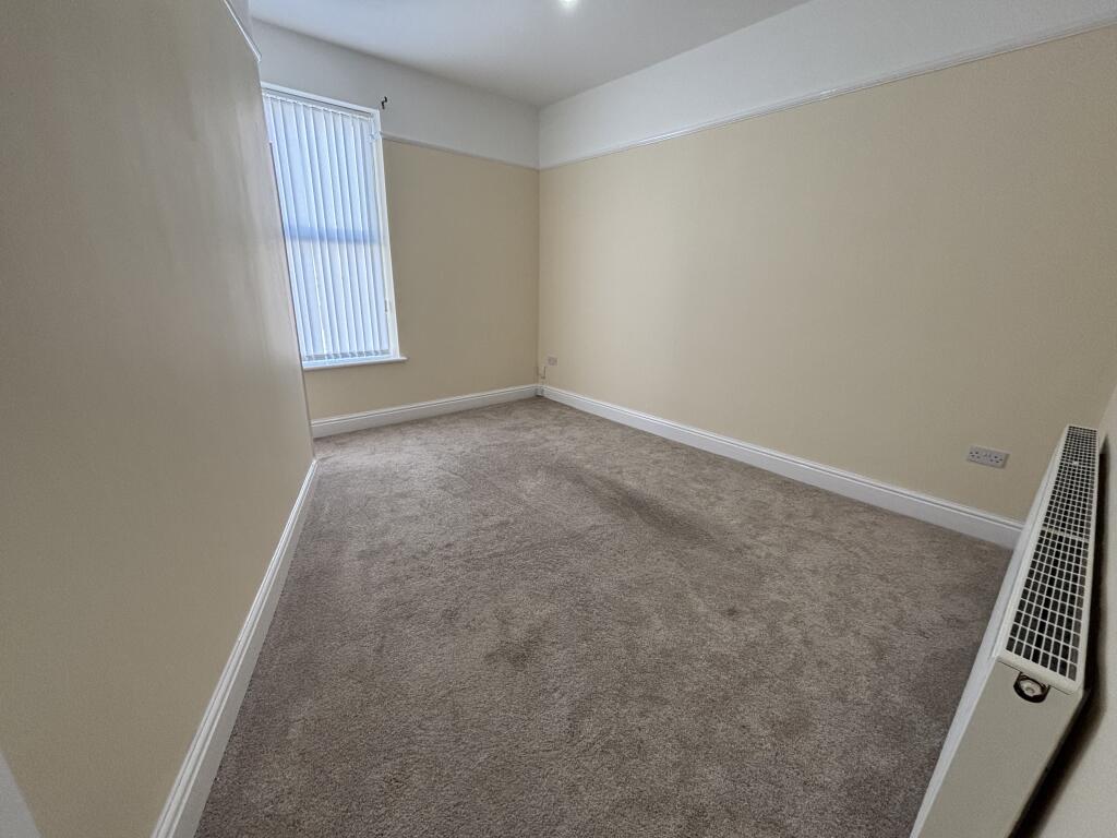
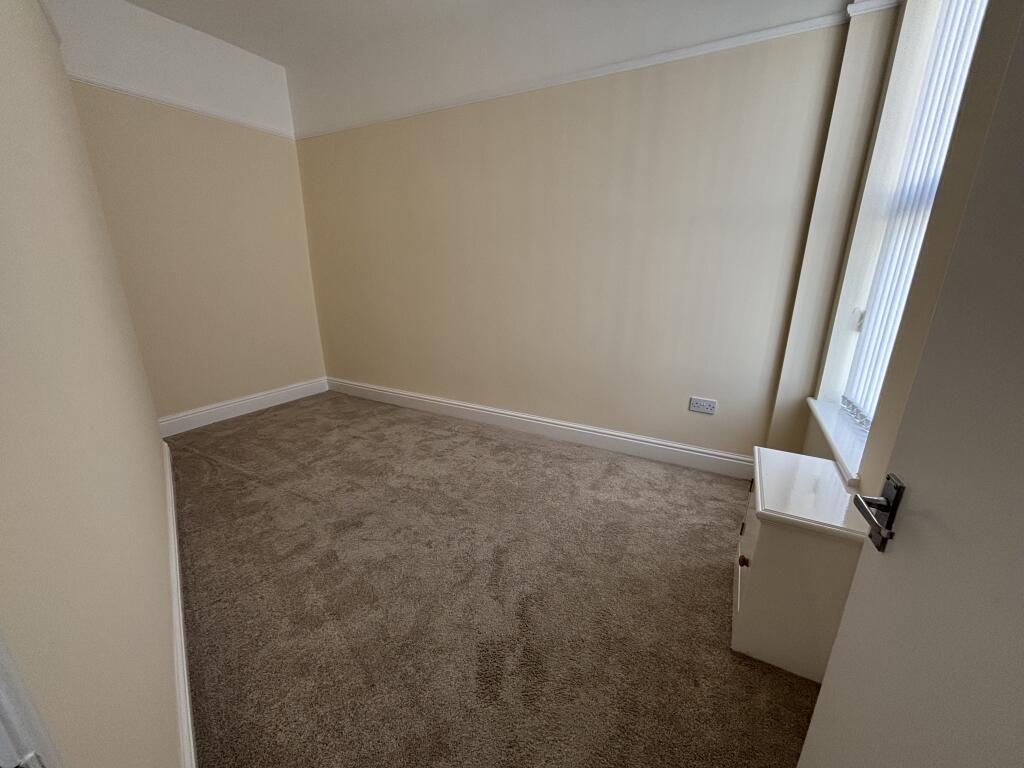
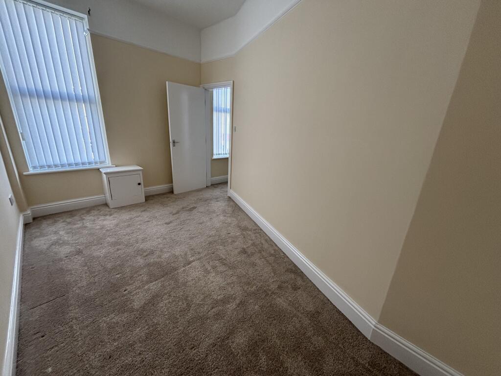
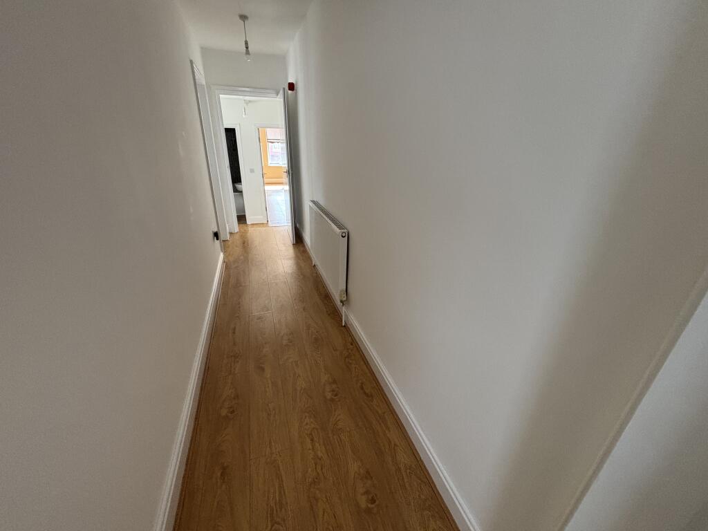
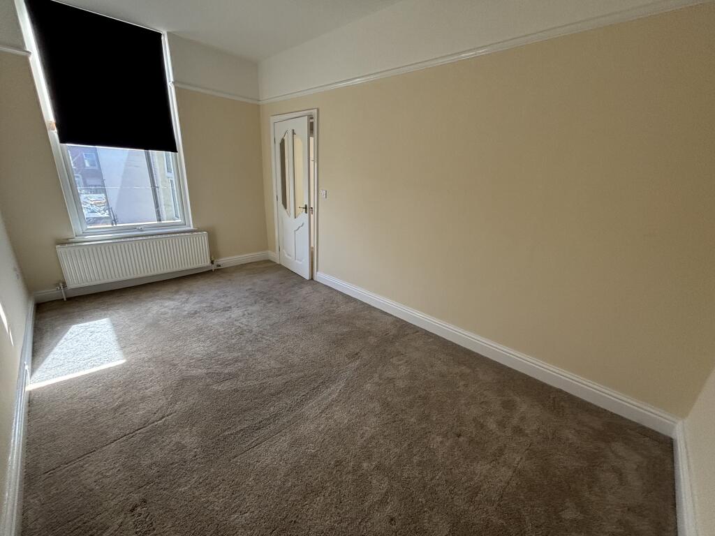
*Newly Decorated Throughout *Breakfast / Dining Kitchen *Two Bedroom Doubles *Modern Bathroom *Central Heated and Double Glazed
- Bedrooms
- 2
- Bathrooms
- 1
The heatmap indicates the level of crime in the area. The color of the heatmap indicates the crime severity and recency.
Metrics Year-on-Year
- Average area value
- 261,363.00 £Decreased by 17.32 %
- Average area rental value
- 1,055.00 £/moDecreased by 3.56 %
- Est rental Yield
- 4.84 %Increased by 16.63 %
- Crime Rate
- 8.00 %Unchanged by 0.00 %
from 316,116.00 £
from 1,094.00 £/mo
from 4.15 %
from 8.00 %
Agent Activity
Logic created the listing.
Nearby Schools
| Name | Type | Ofsted | Distance |
|---|---|---|---|
| Rimrose Hope Cofe Primary School | Voluntary Controlled School | Good | 0.50 KM |
| Seaforth Children'S Centre | Children's Centre | 0.72 KM | |
| Our Lady Star Of The Sea Catholic Primary School | Voluntary Aided School | Good | 1.05 KM |
| Waterloo Children'S Centre | Children's Centre | 1.55 KM | |
| Waterloo Primary School | Community School | Good | 1.65 KM |
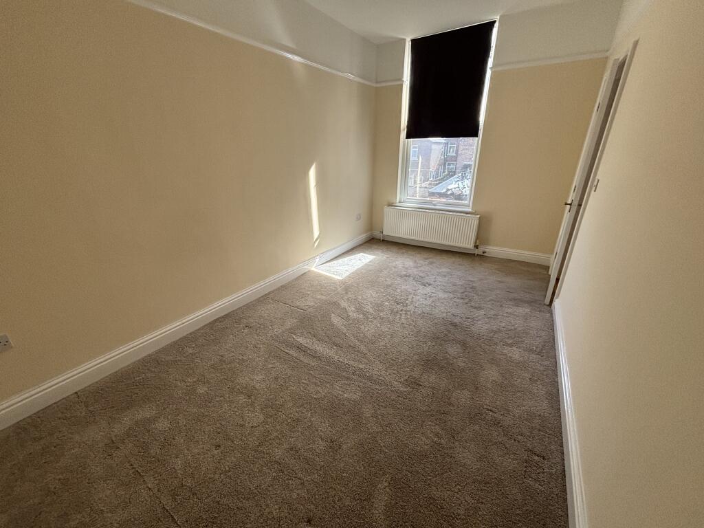
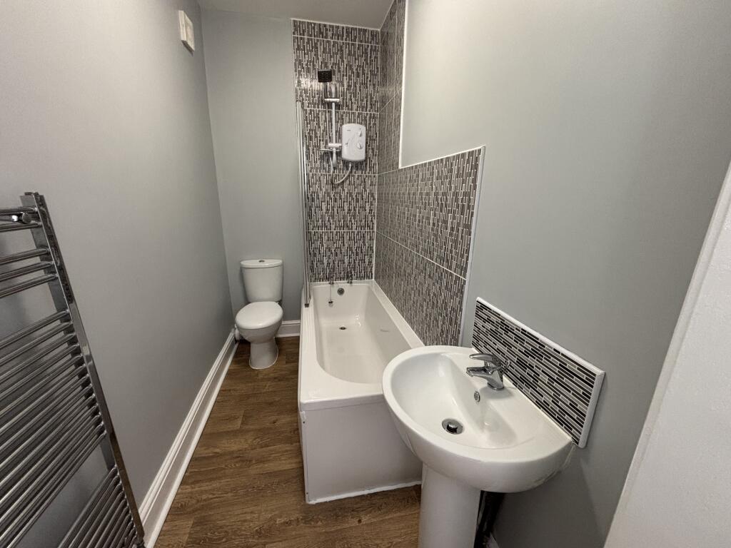
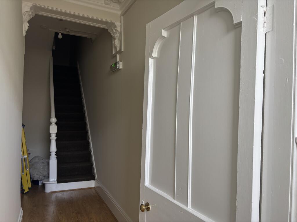
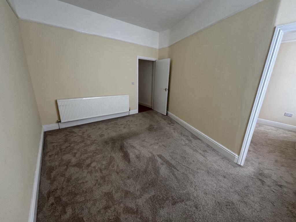
Images
Nearby Streets
| Name | Average Price | Average Sqft | Distance |
|---|---|---|---|
| Sandown Road | £ 0 | 0 | 0.00 KM |
| Princess Way | £ 40,000 | 0 | 0.00 KM |
| Claremont Close | £ 125,000 | 0 | 0.00 KM |
| Ash Grove | £ 0 | 0 | 0.00 KM |
| Windsor Avenue | £ 0 | 0 | 0.00 KM |
Nearby Transport
| Name | NLC | TLC | Distance |
|---|---|---|---|
| Seaforth And Litherland | 2250 | SFL | 0.94 KM |
| Waterloo (Merseyside) | 2133 | WLO | 1.54 KM |
| Bootle New Strand | 2195 | BNW | 2.62 KM |
| Bootle Oriel Road | 2239 | BOT | 3.05 KM |
| Blundellsands And Crosby | 2123 | BLN | 3.66 KM |
Nearby Listings
| Address | Price | Type | Score | Distance |
|---|---|---|---|---|
| Claremont Road, Liverpool, L21 | £ 850 | RENT | Unknown | 0.00 KM |
| Sandy Road, Liverpool, Merseyside, L21 | £ 121 | RENT | Unknown | 0.28 KM |
| Claremont Road, Seaforth | £ 475 | RENT | Unknown | 0.29 KM |
| Elm Drive, Seaforth, Liverpool | £ 950 | RENT | Unknown | 0.33 KM |
| Elm Road, Seaforth, L21 1BL | £ 2,000 | RENT | Unknown | 0.36 KM |
Nearby Properties
| Address | Price | Distance |
|---|---|---|
| 49 Claremont Road | £ 115,000 | 0.07 KM |
| 23 Claremont Road | £ 135,000 | 0.07 KM |
| 81 Claremont Road | £ 146,750 | 0.07 KM |
| 53 Claremont Road | £ 95,000 | 0.07 KM |
| 41 Claremont Road | £ 86,000 | 0.07 KM |