MA
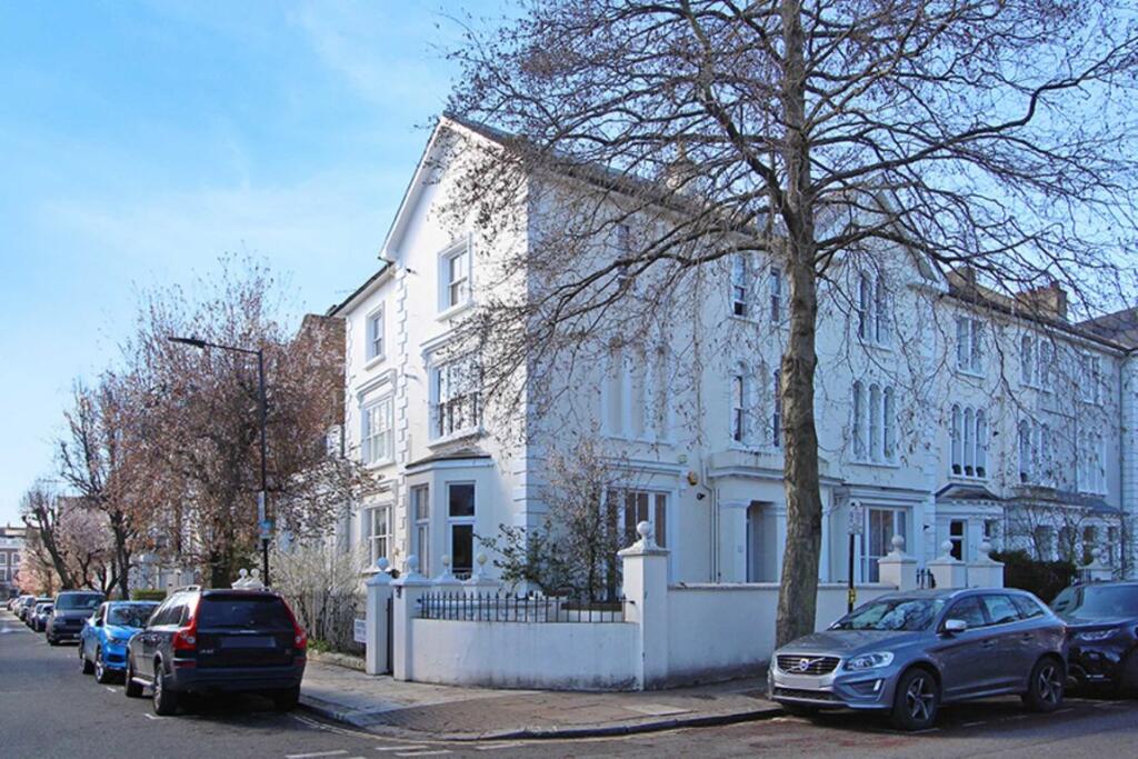
Talbot Road, Notting Hill
By Marsh & Parsons
£ 600
Marsh & Parsons says ..
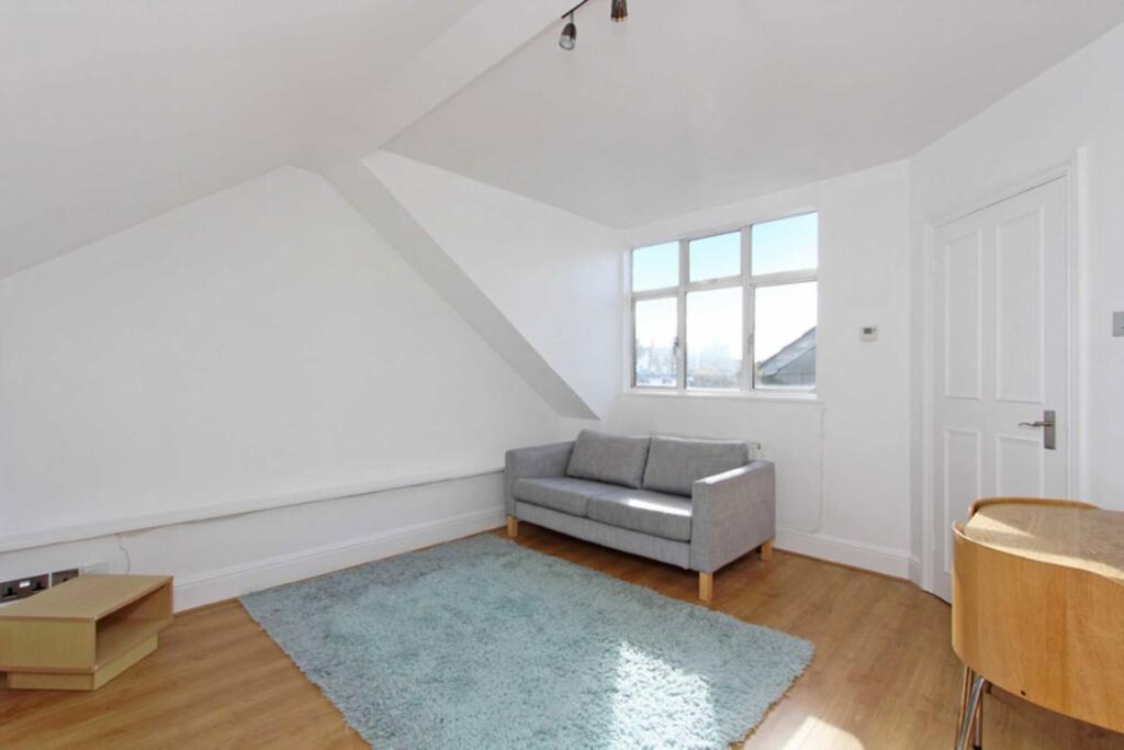
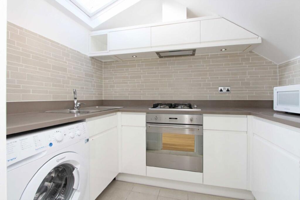
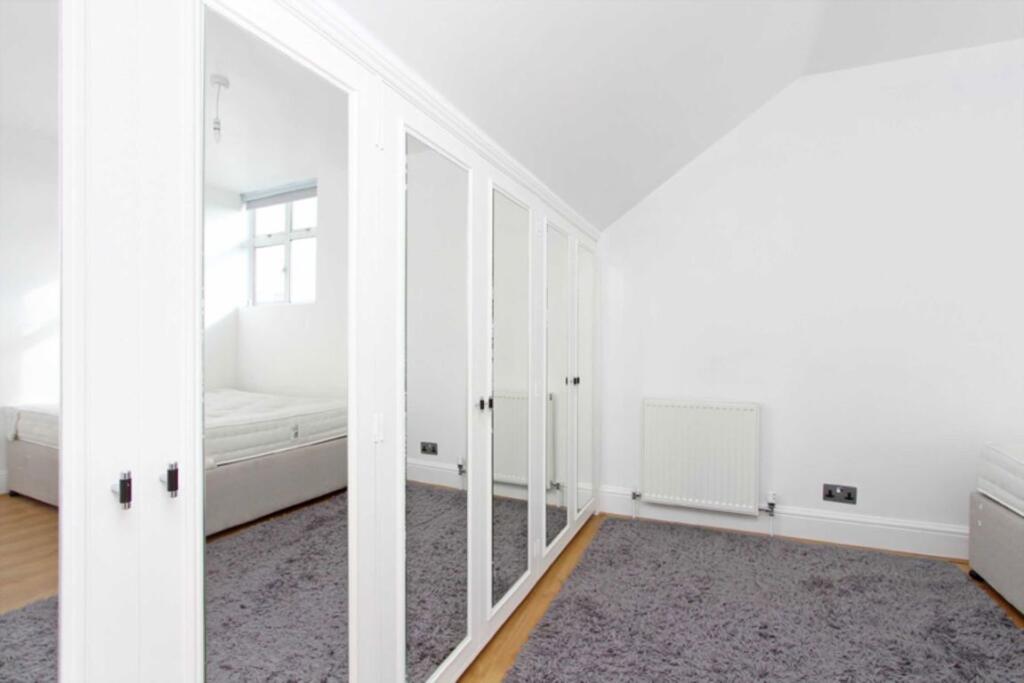
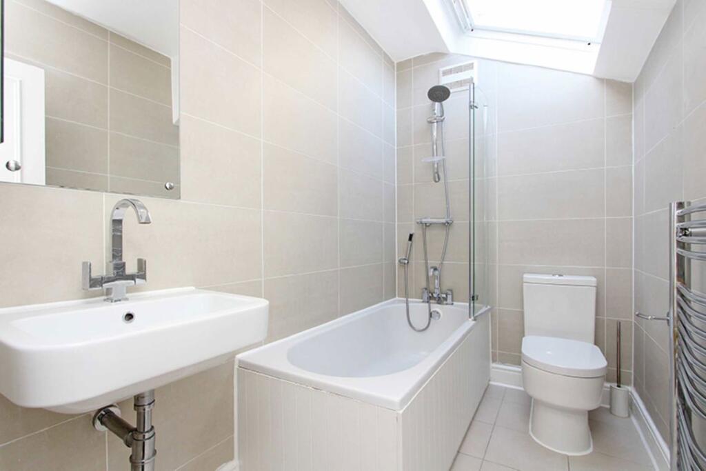
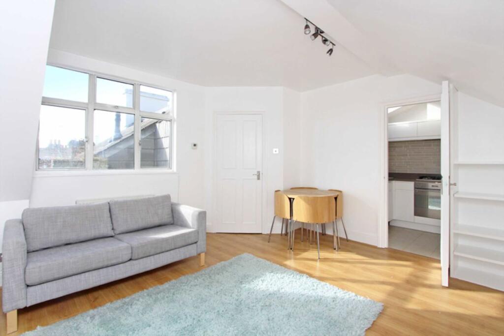
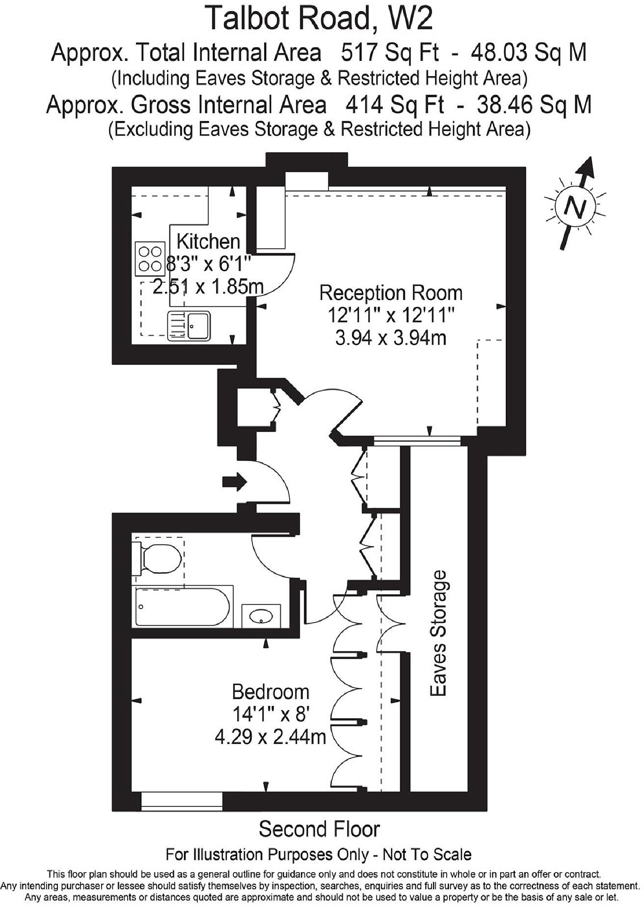
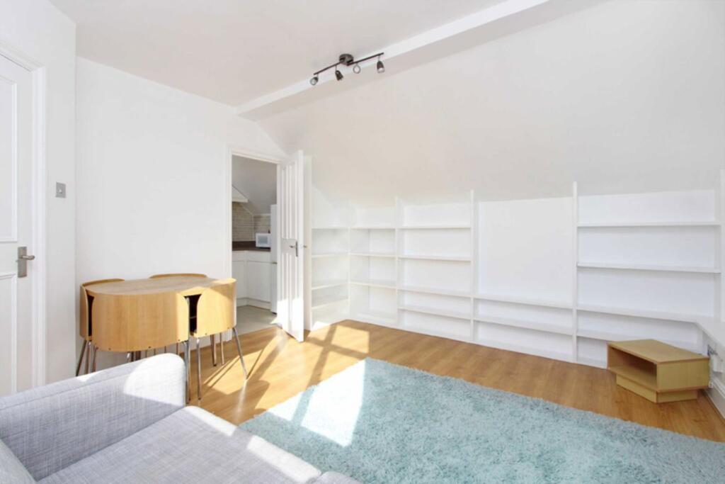
Well presented one bedroom apartment, full of natural light.
- Bedrooms
- 1
- Bathrooms
- 1
The heatmap indicates the level of crime in the area. The color of the heatmap indicates the crime severity and recency.
Metrics Year-on-Year
- Average area value
- 1,797,217.00 £Increased by 26.51 %
- Average area rental value
- 3,101.00 £/moIncreased by 21.61 %
- Est rental Yield
- 2.07 %Decreased by 3.72 %
- Crime Rate
- 6.00 %Unchanged by 0.00 %
from 1,420,594.00 £
from 2,550.00 £/mo
from 2.15 %
from 6.00 %
Agent Activity
Marsh & Parsons created the listing.
Nearby Schools
| Name | Type | Ofsted | Distance |
|---|---|---|---|
| St. Mary Of The Angels Catholic Primary School | Voluntary Aided School | Good | 0.20 KM |
| Bayswater Children'S Centre | Children's Centre Linked Site | 0.27 KM | |
| Wetherby Preparatory School | Other Independent School | 0.45 KM | |
| St Stephen'S Cofe Primary School | Voluntary Aided School | Good | 0.45 KM |
| Colville Primary School | Community School | Outstanding | 0.49 KM |
Images

Nearby Streets
| Name | Average Price | Average Sqft | Distance |
|---|---|---|---|
| Caradoc Close | £ 850,000 | 0 | 0.00 KM |
| Needham Road | £ 0 | 0 | 0.00 KM |
| Ledbury Mews West | £ 0 | 0 | 0.00 KM |
| St Luke's Road | £ 0 | 0 | 0.00 KM |
| McGregor Road | £ 625,000 | 0 | 0.00 KM |
Nearby Transport
| Name | NLC | TLC | Distance |
|---|---|---|---|
| Queens Park (London) | 1419 | QPW | 2.03 KM |
| Shepherd'S Bush | 9587 | SPB | 2.40 KM |
| Kilburn High Road | 1415 | KBN | 2.42 KM |
| Kensington (Olympia) | 3092 | KPA | 2.43 KM |
| Paddington | 3087 | PAD | 2.55 KM |
Nearby Listings
| Address | Price | Type | Score | Distance |
|---|---|---|---|---|
| Talbot Road, Notting Hill | £ 600 | RENT | Unknown | 0.00 KM |
| Talbot Road, London, W2 | £ 1,150 | RENT | Unknown | 0.02 KM |
| Talbot Road, London, W2 | £ 1,150 | RENT | Unknown | 0.02 KM |
| Talbot Road, Bayswater, W2 | £ 4,000 | RENT | Unknown | 0.03 KM |
| Talbot Road, Notting Hill, London, W2 | £ 3,142 | RENT | Unknown | 0.04 KM |
Nearby Properties
| Address | Price | Distance |
|---|---|---|
| 87b Talbot Road | £ 530,000 | 0.03 KM |
| 89a Talbot Road | £ 920,000 | 0.03 KM |
| 87a Talbot Road | £ 820,000 | 0.03 KM |
| 86d Ledbury Road | £ 1,300,000 | 0.06 KM |
| 106 Ledbury Road | £ 1,000,000 | 0.06 KM |