LE
Epsom, Surrey, KT17
By Leaders Lettings
£ 1,700
Leaders Lettings says ..
1665284, Epsom, Surrey, KT17
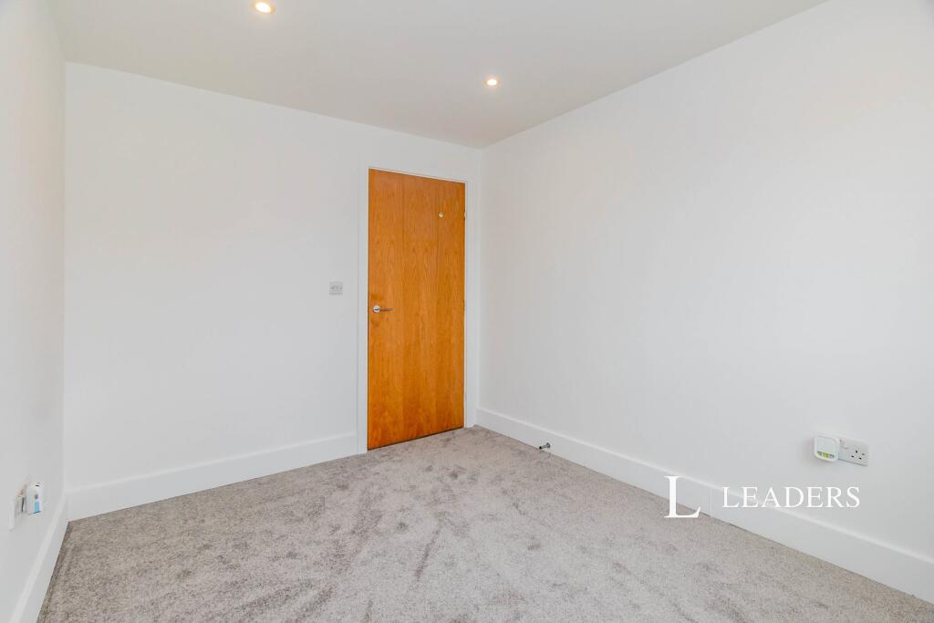
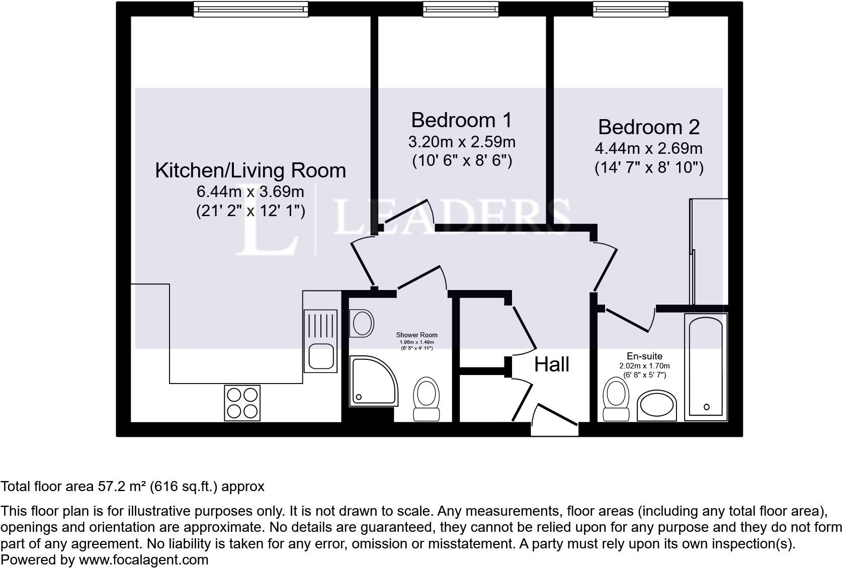
- Bedrooms
- 2
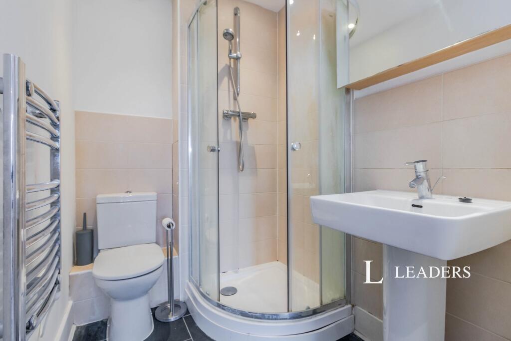
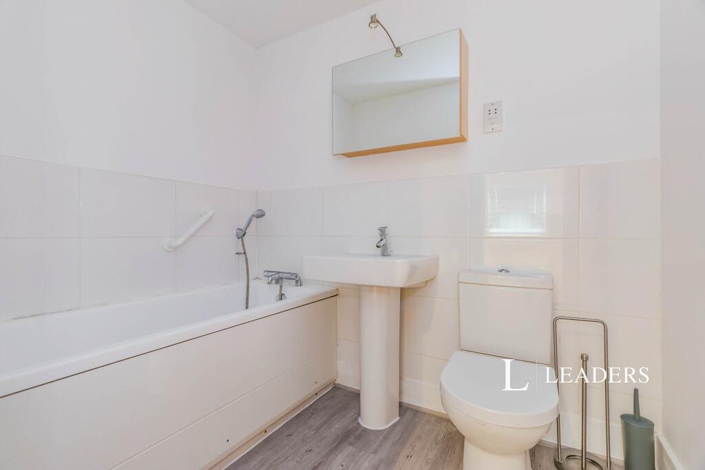
- Bathrooms
- 1
The heatmap indicates the level of crime in the area. The color of the heatmap indicates the crime severity and recency.
Metrics Year-on-Year
- Average area value
- 371,130.00 £Increased by 2.62 %
- Average area rental value
- 1,597.00 £/moIncreased by 9.08 %
- Est rental Yield
- 5.16 %Increased by 6.17 %
- Crime Rate
- 53.00 %Unchanged by 0.00 %
from 361,672.00 £
from 1,464.00 £/mo
from 4.86 %
from 53.00 %
Agent Activity
Leaders Lettings created the listing.
Nearby Schools
| Name | Type | Ofsted | Distance |
|---|---|---|---|
| St Martin'S Sure Start Children'S Centre | Children's Centre | 0.76 KM | |
| St Christopher'S School Trust (Epsom) Ltd | Other Independent School | 0.80 KM | |
| Epsom Sure Start Children'S Centre | Children's Centre | 1.02 KM | |
| Epsom Primary And Nursery School | Community School | Good | 1.02 KM |
| Little Downsend Epsom | Other Independent School | 1.22 KM |
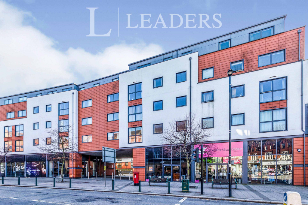
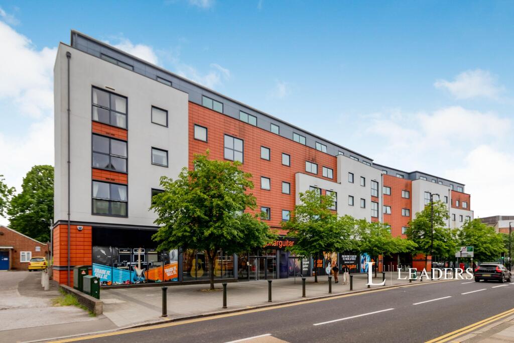
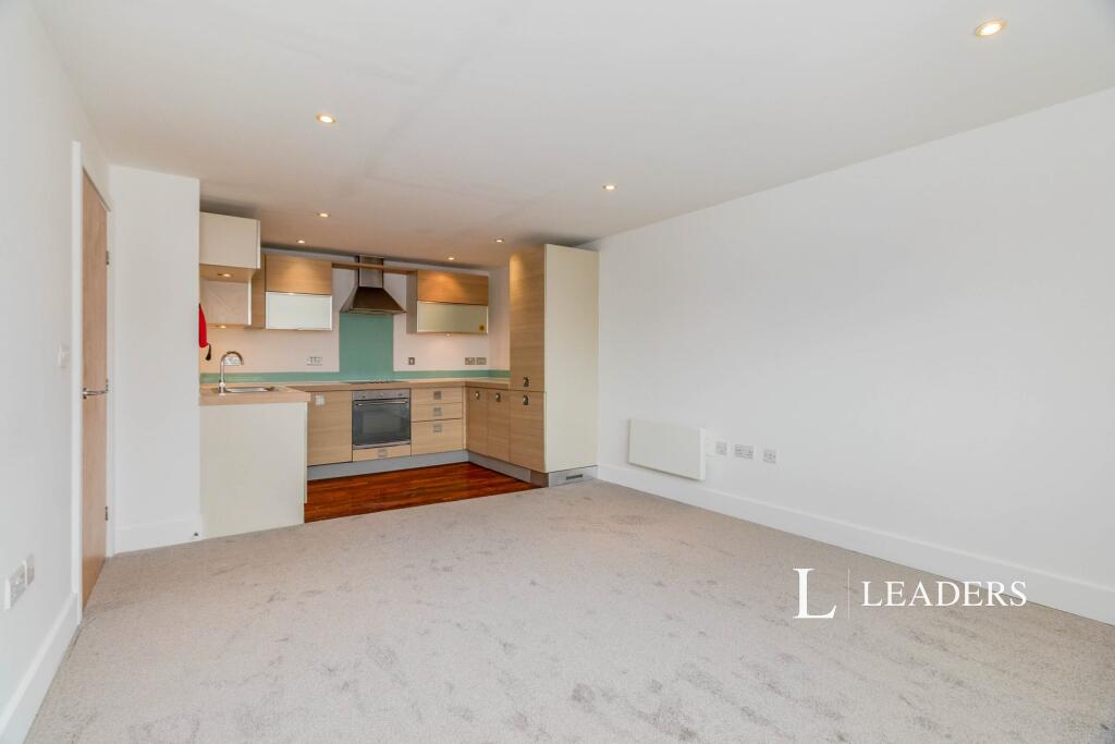
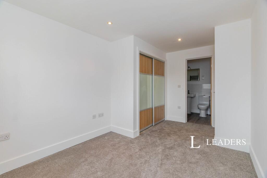
Images


Nearby Streets
| Name | Average Price | Average Sqft | Distance |
|---|---|---|---|
| Depot Road | £ 230,000 | 0 | 0.00 KM |
| Heathcote Road | £ 0 | 0 | 0.00 KM |
| Windsor Gardens | £ 0 | 0 | 0.00 KM |
| Church Street | £ 525,000 | 0 | 0.00 KM |
| Station Way | £ 309,975 | 0 | 0.00 KM |
Nearby Transport
| Name | NLC | TLC | Distance |
|---|---|---|---|
| Epsom | 5360 | EPS | 0.58 KM |
| Ewell West | 5586 | EWW | 1.98 KM |
| Ewell East | 5415 | EWE | 2.77 KM |
| Epsom Downs | 5361 | EPD | 2.94 KM |
| Tattenham Corner | 5387 | TAT | 3.57 KM |
Nearby Listings
| Address | Price | Type | Score | Distance |
|---|---|---|---|---|
| Epsom, Surrey, KT17 | £ 1,700 | RENT | Unknown | 0.00 KM |
| Capitol Square, Epsom | £ 1,650 | RENT | Unknown | 0.00 KM |
| Capitol Square, Church Street, Epsom, KT17 4NP | £ 1,300 | RENT | Unknown | 0.00 KM |
| Capitol Square, Epsom, KT17 | £ 1,400 | RENT | Unknown | 0.00 KM |
| Church Street, Epsom | £ 1,750 | RENT | Unknown | 0.01 KM |
Nearby Properties
| Address | Price | Distance |
|---|---|---|
| 27a Upper High Street | £ 160,000 | 0.12 KM |
| 3a Upper High Street | £ 250,000 | 0.12 KM |
| 15a Depot Road | £ 200,000 | 0.16 KM |
| 16 The Parade | £ 885,000 | 0.16 KM |
| 20 The Parade | £ 220,000 | 0.16 KM |