LI
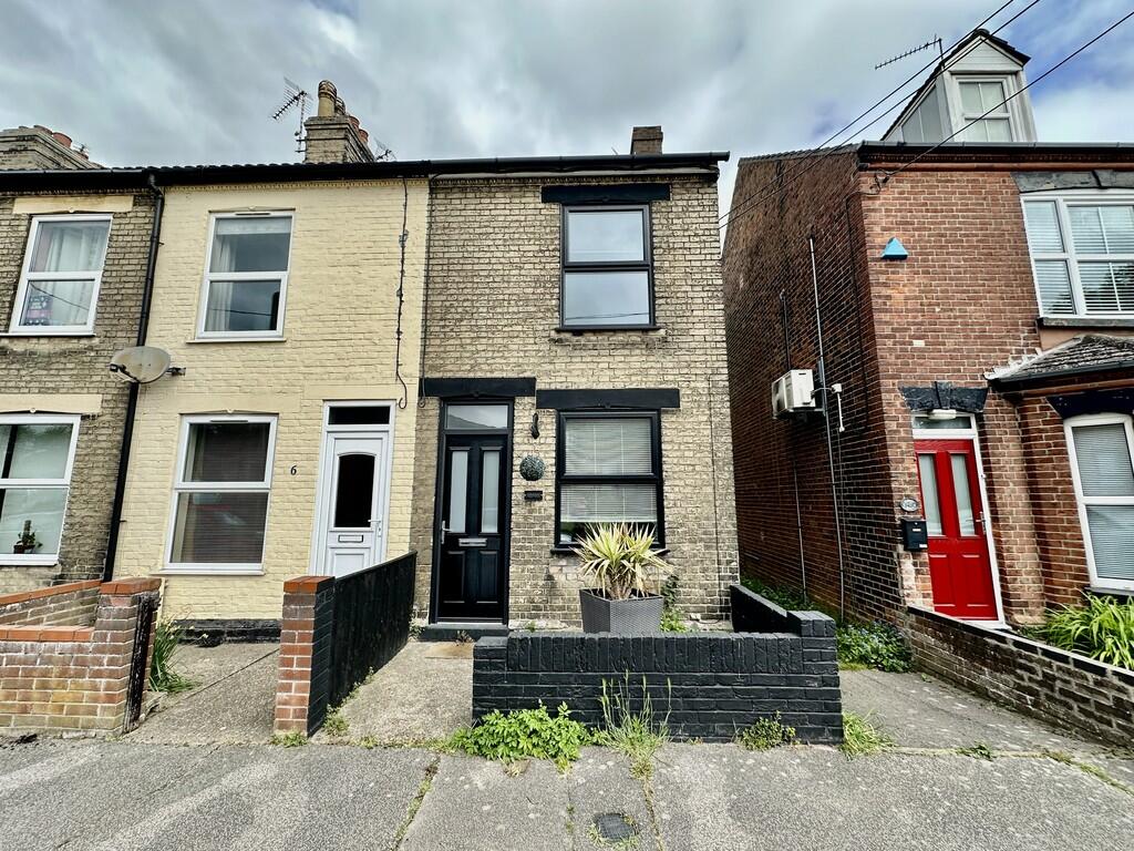
Holly Road, Lowestoft
By Lisa's Homes
£ 1,100
Lisa's Homes says ..
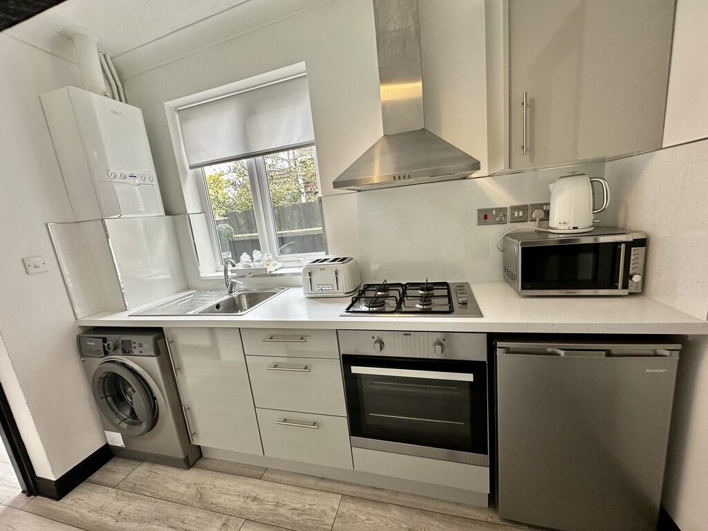
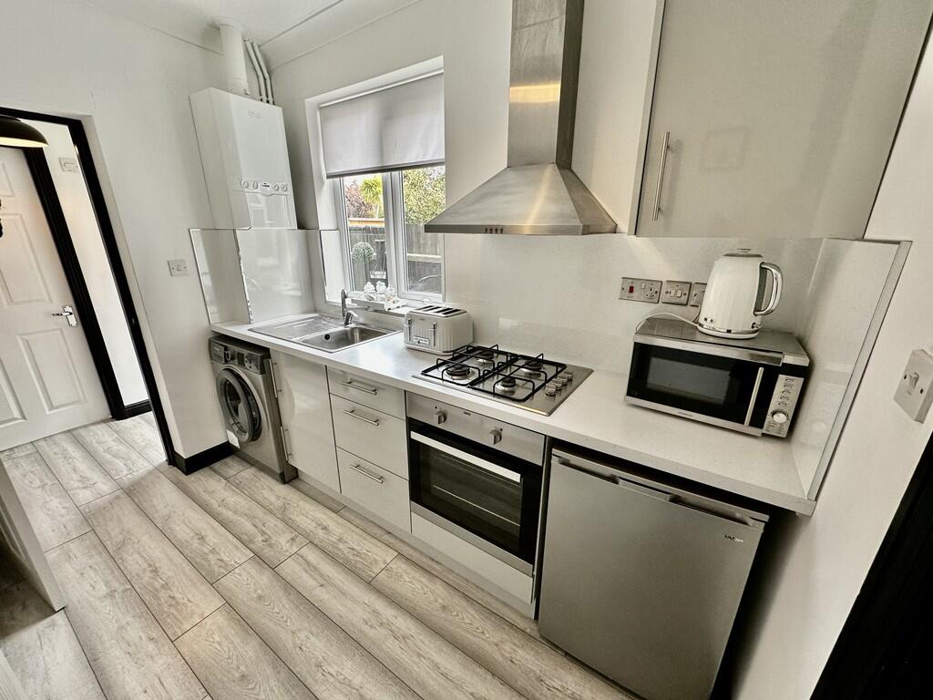
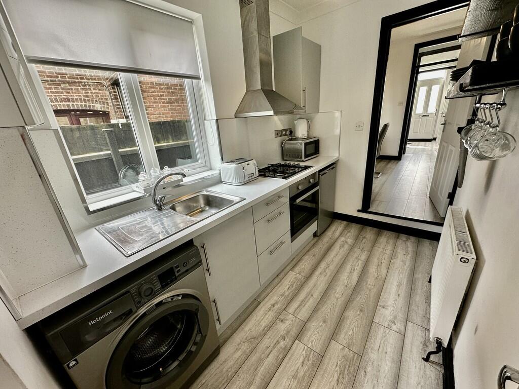
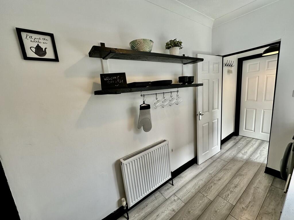
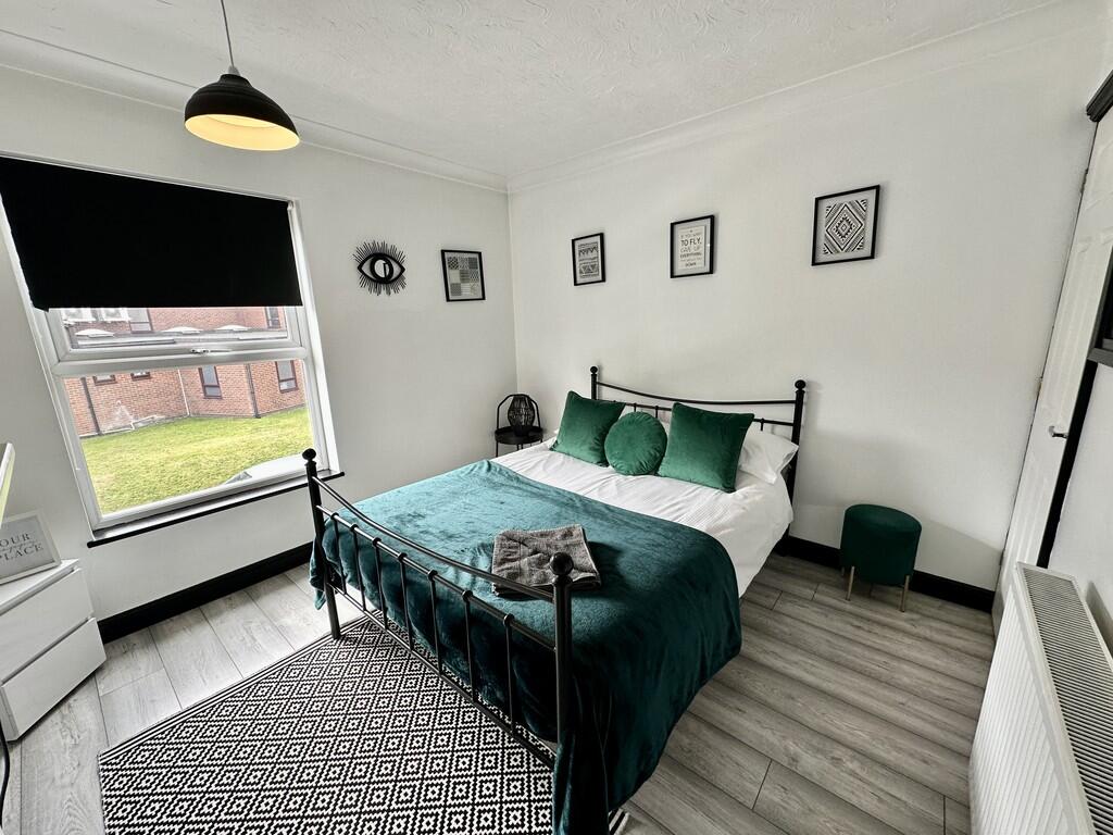
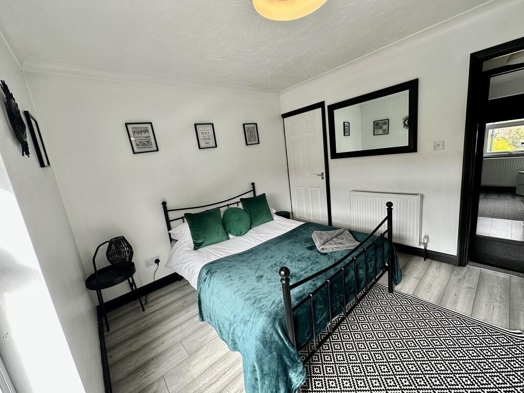
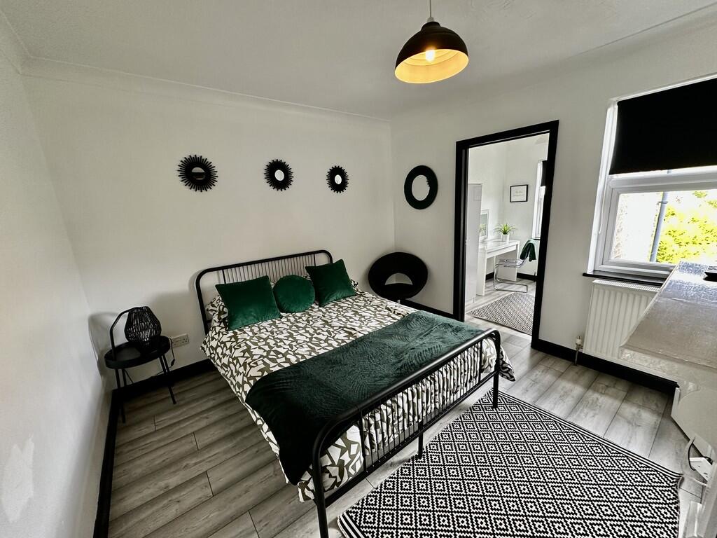
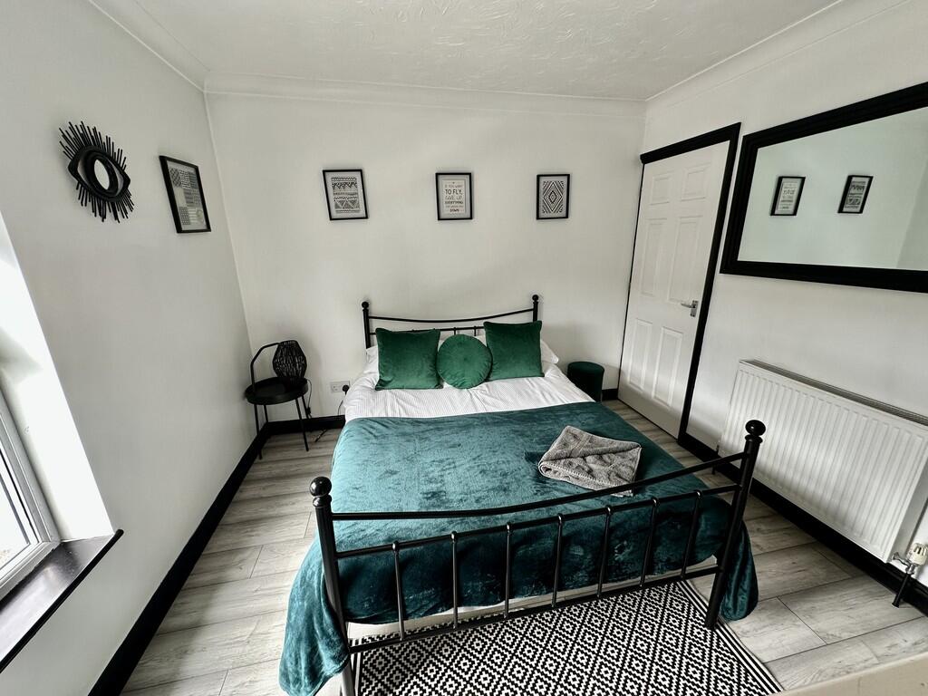
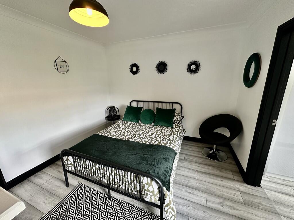
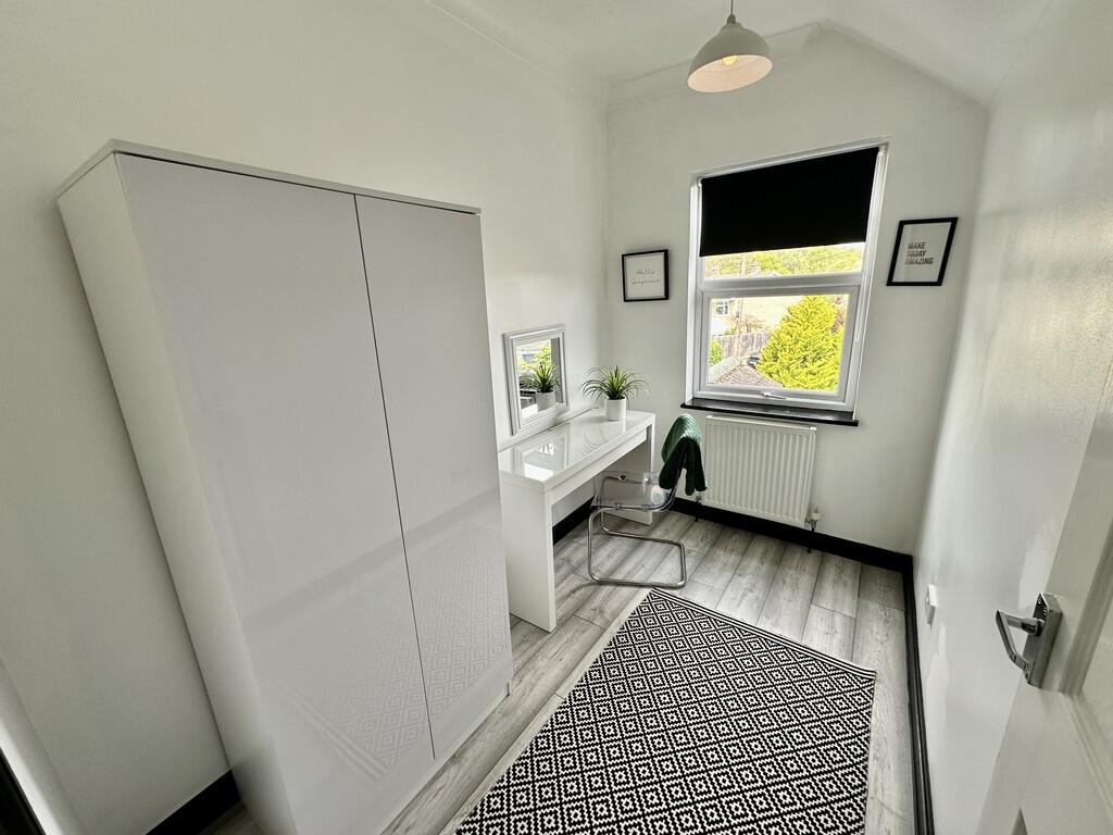
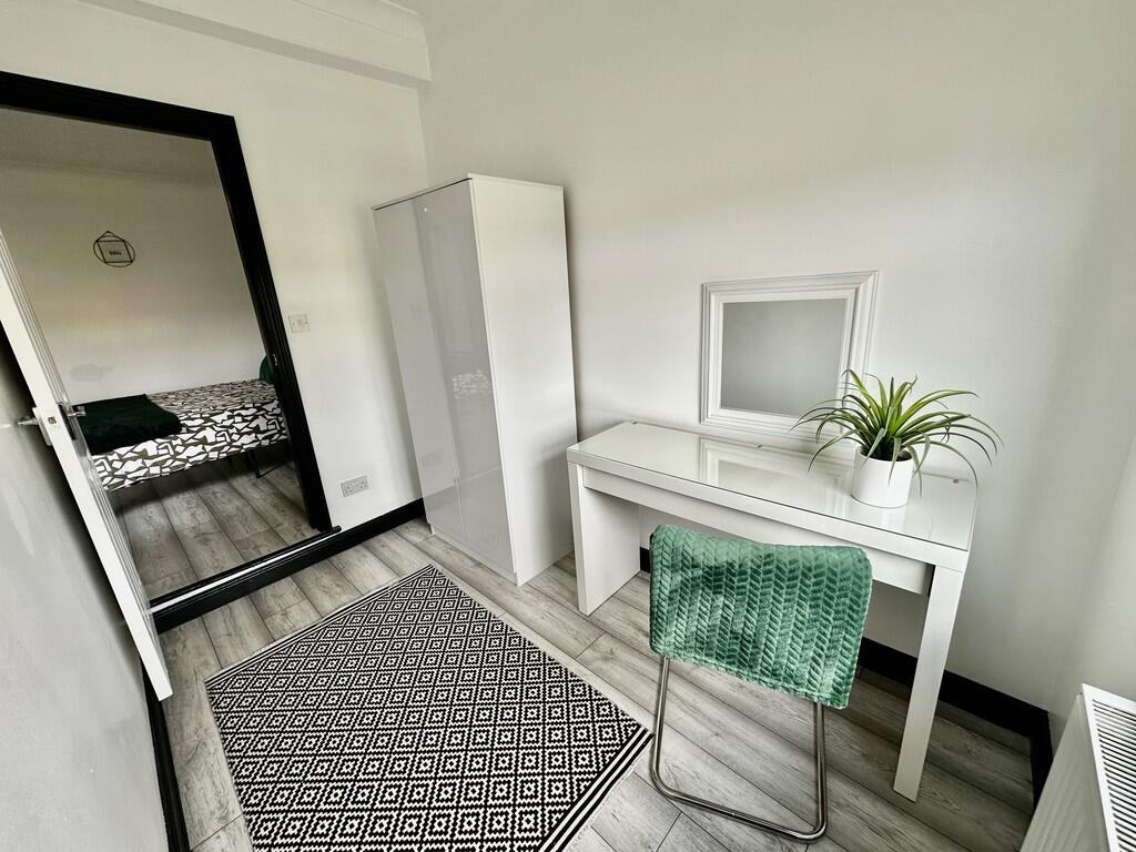
Property located in Holly Road, Lowestoft
- Bedrooms
- 3
- Bathrooms
- 1
The heatmap indicates the level of crime in the area. The color of the heatmap indicates the crime severity and recency.
Metrics Year-on-Year
- Average area value
- 223,471.00 £Decreased by 26.58 %
- Average area rental value
- 1,004.00 £/moDecreased by 12.47 %
- Est rental Yield
- 5.39 %Increased by 19.25 %
- Crime Rate
- 15.00 %Unchanged by 0.00 %
from 304,373.00 £
from 1,147.00 £/mo
from 4.52 %
from 15.00 %
Agent Activity
Lisa's Homes created the listing.
Nearby Schools
| Name | Type | Ofsted | Distance |
|---|---|---|---|
| Dell Primary School | Academy Sponsor Led | Requires improvement | 1.03 KM |
| The Limes Primary Academy | Free Schools | 1.31 KM | |
| Woods Loke Primary School | Academy Converter | 1.54 KM | |
| Oulton Broad Primary School | Community School | Outstanding | 1.59 KM |
| Elm Tree Primary School | Academy Sponsor Led | Requires improvement | 1.74 KM |
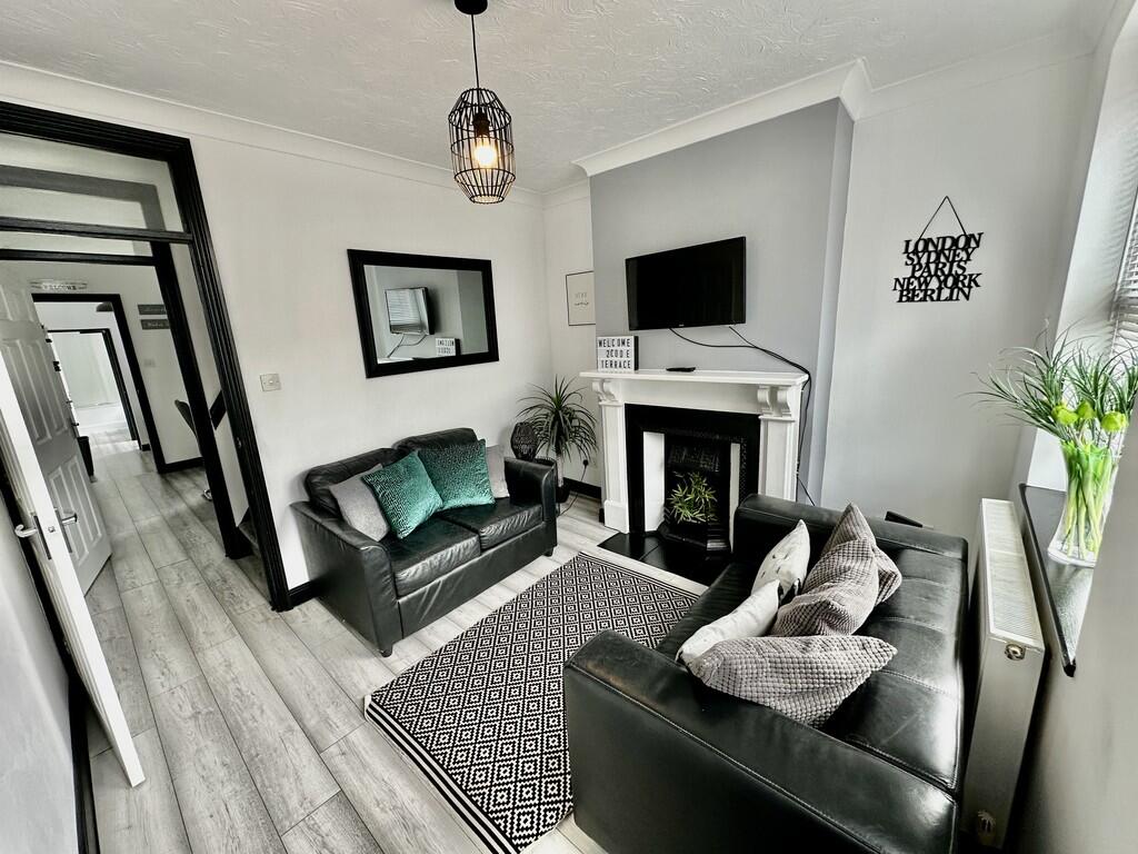
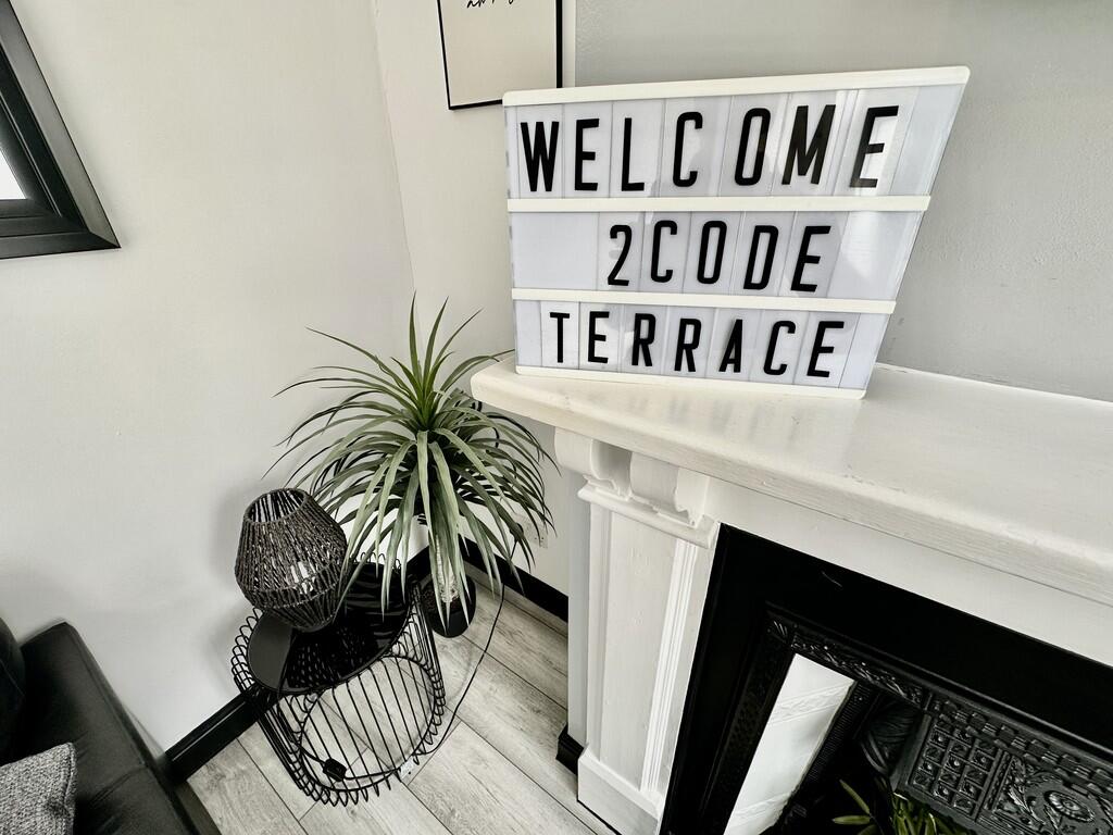
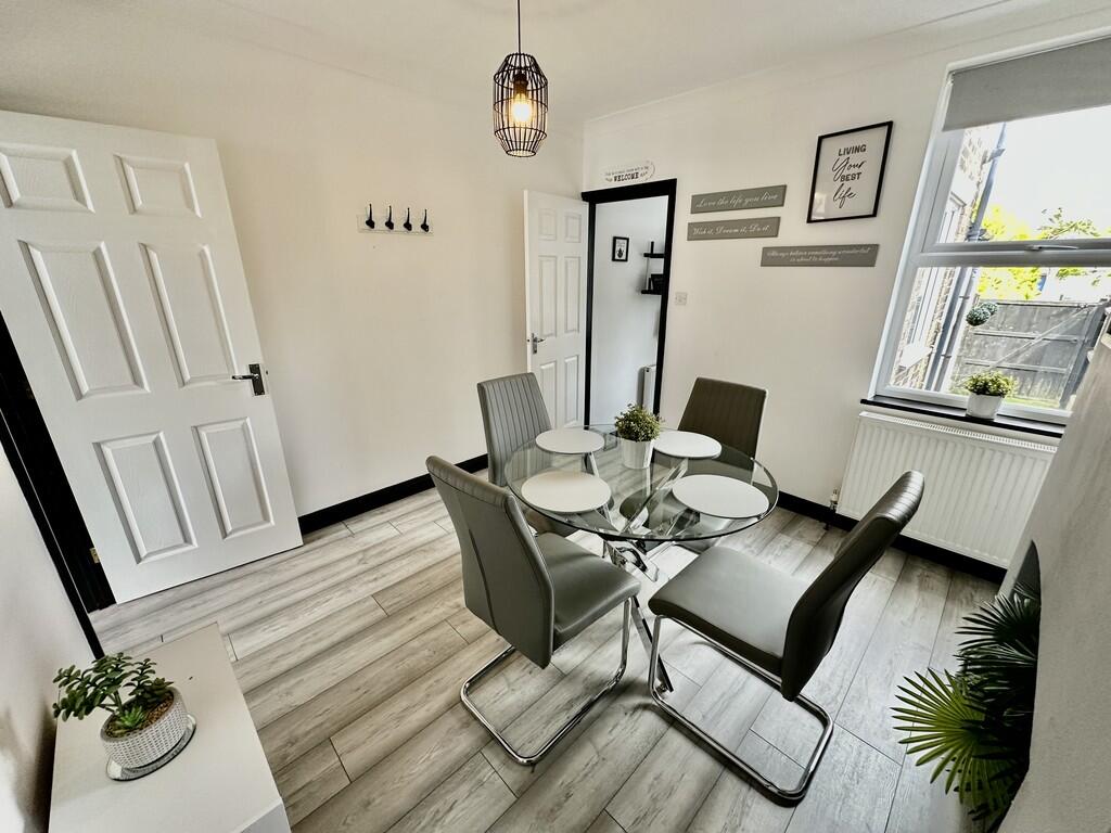
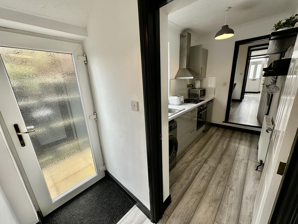
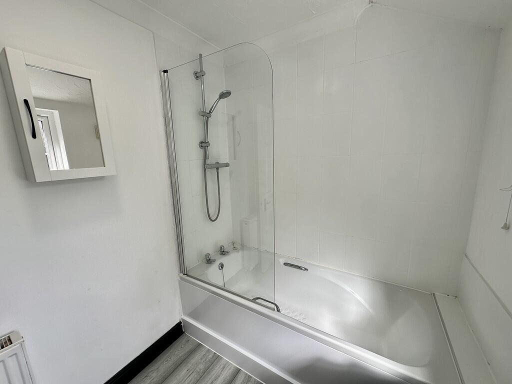
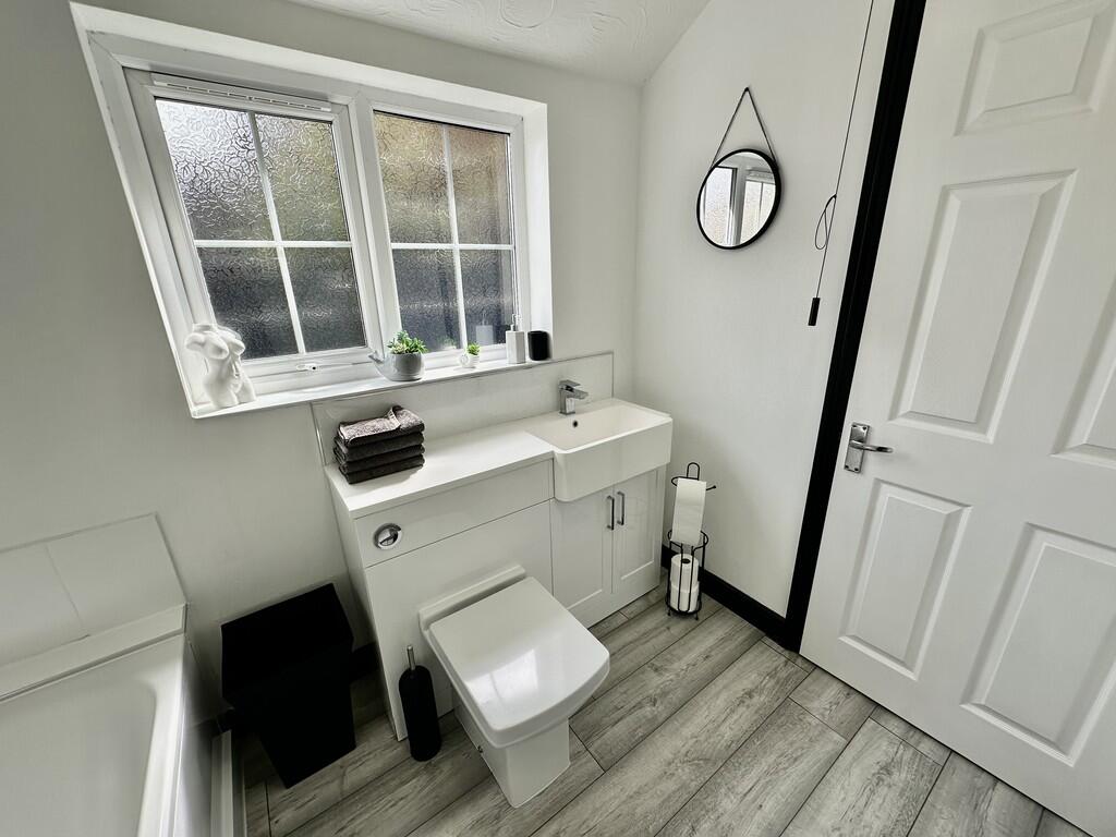
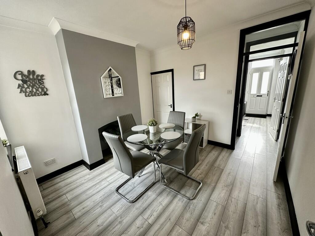
Images


Nearby Streets
| Name | Average Price | Average Sqft | Distance |
|---|---|---|---|
| Berry Close | £ 0 | 0 | 0.00 KM |
| Craftmans Way | £ 265,000 | 0 | 0.00 KM |
| Burgess Close | £ 270,000 | 0 | 0.00 KM |
| Pennine Way | £ 0 | 0 | 0.00 KM |
| Penny Lane | £ 0 | 0 | 0.00 KM |
Nearby Transport
| Name | NLC | TLC | Distance |
|---|---|---|---|
| Oulton Broad North | 7273 | OUN | 0.13 KM |
| Oulton Broad South | 7274 | OUS | 1.22 KM |
| Lowestoft | 7268 | LWT | 3.91 KM |
| Somerleyton | 7320 | SYT | 7.76 KM |
Nearby Listings
| Address | Price | Type | Score | Distance |
|---|---|---|---|---|
| Holly Road, Lowestoft | £ 1,100 | RENT | Unknown | 0.00 KM |
| Bridge Road, Lowestoft, Suffolk, NR32 | £ 910 | RENT | Unknown | 0.12 KM |
| Bridge Road, Lowestoft | £ 675 | RENT | Unknown | 0.15 KM |
| Commodore Road, Lowestoft | £ 1,150 | RENT | Unknown | 0.16 KM |
| Bridge Road, Lowestoft | £ 675 | RENT | Unknown | 0.17 KM |
Nearby Properties
| Address | Price | Distance |
|---|---|---|
| 5 Holly Road | £ 130,000 | 0.00 KM |
| 16 Holly Road | £ 95,500 | 0.00 KM |
| 10 Holly Road | £ 79,995 | 0.00 KM |
| 3 Holly Road | £ 220,000 | 0.00 KM |
| 17 Holly Road | £ 100,000 | 0.00 KM |