Robinsons says ..
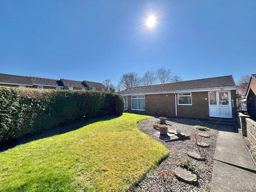
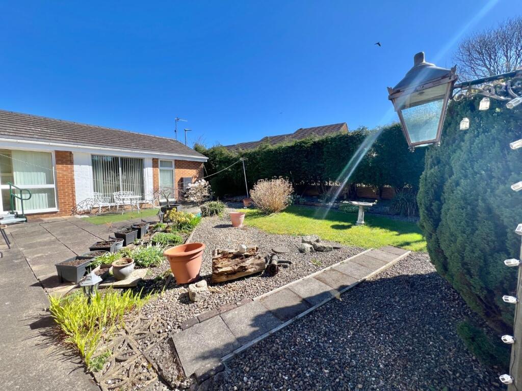
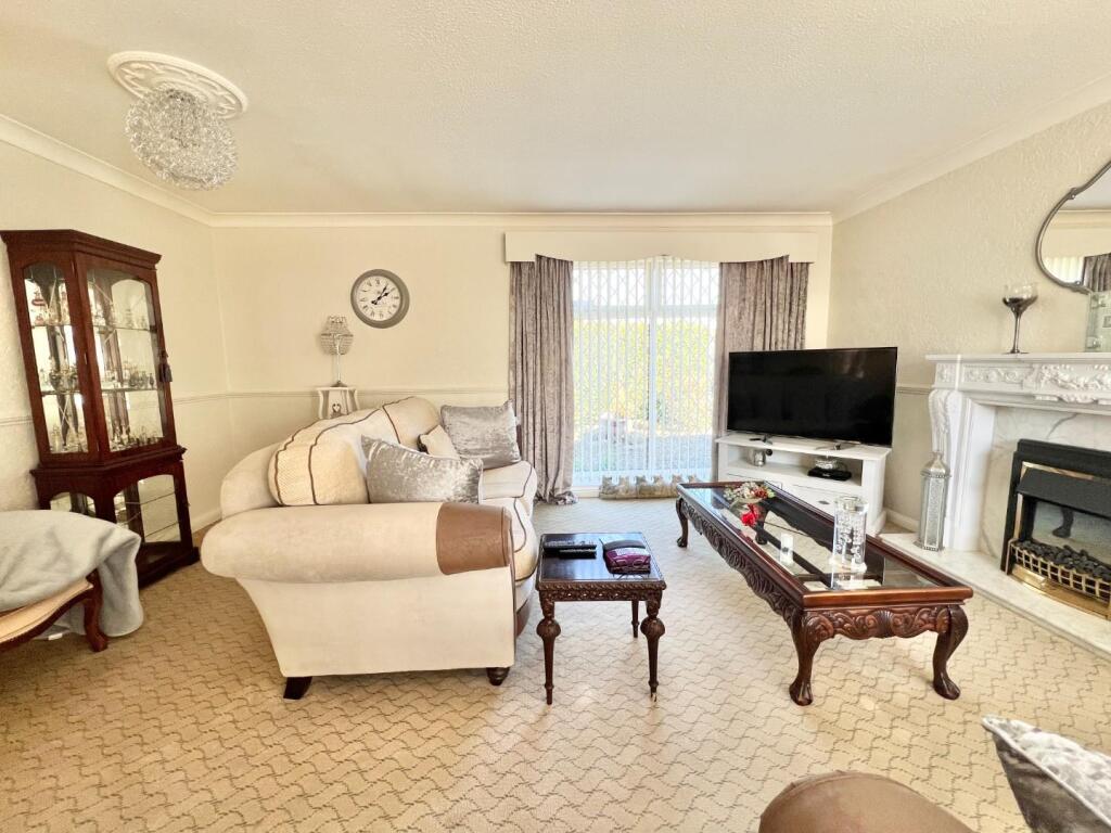
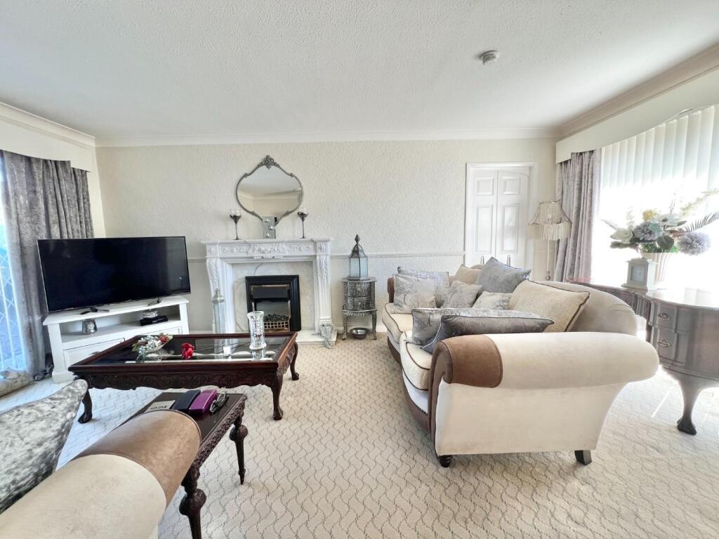
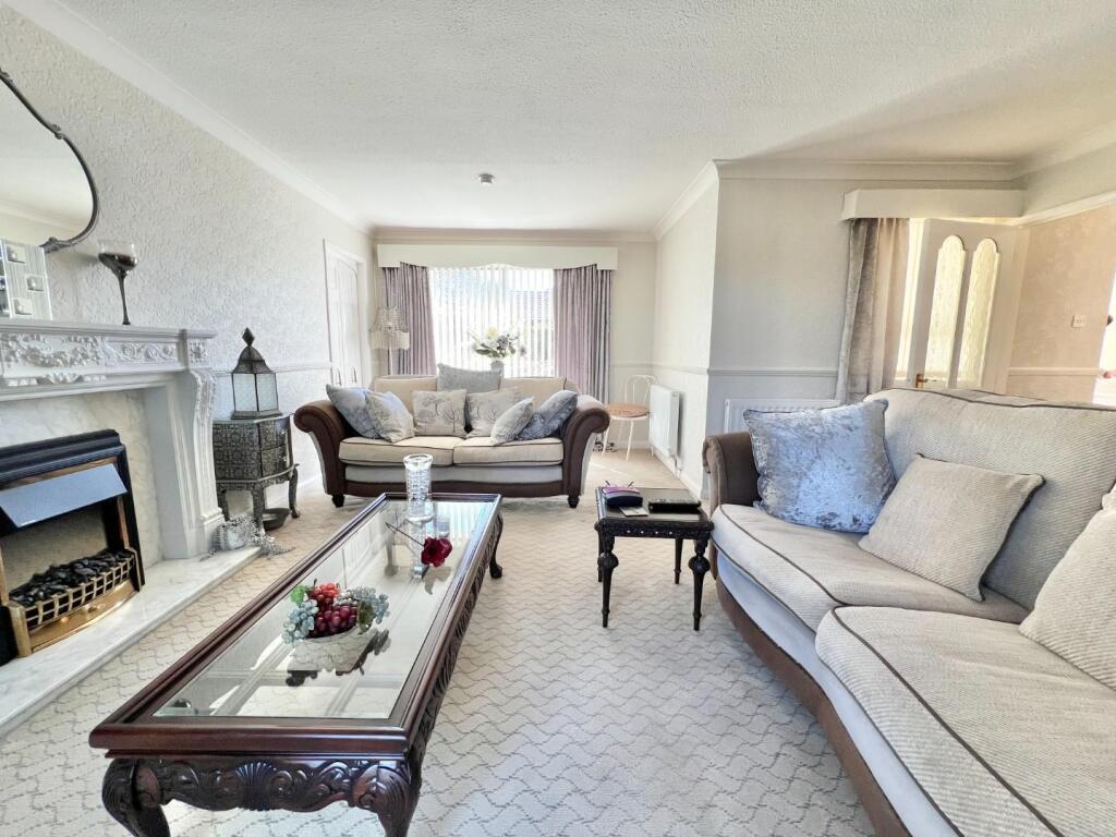
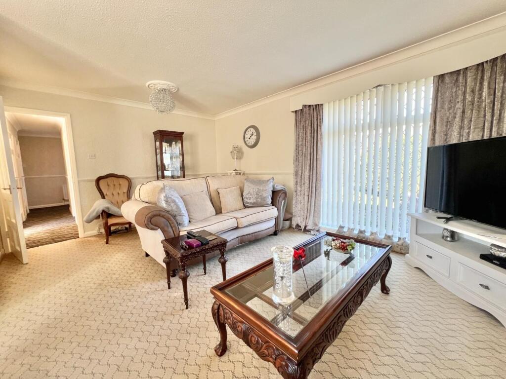
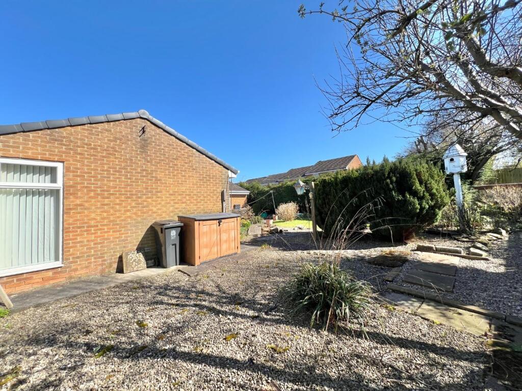
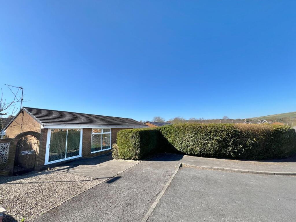
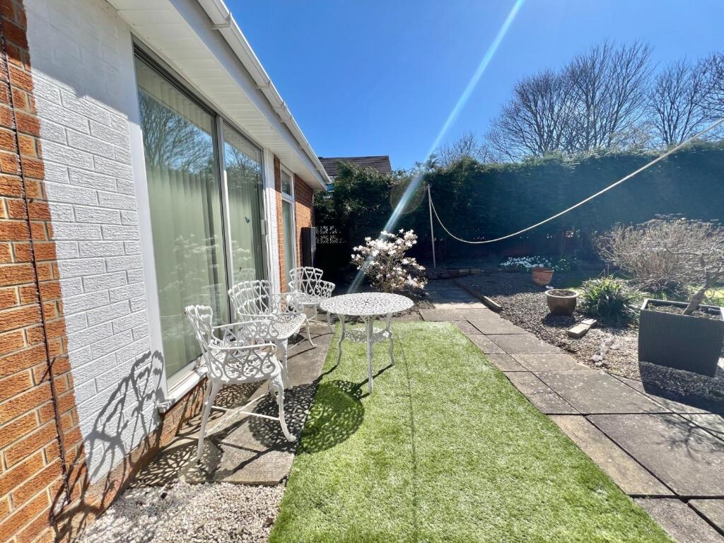
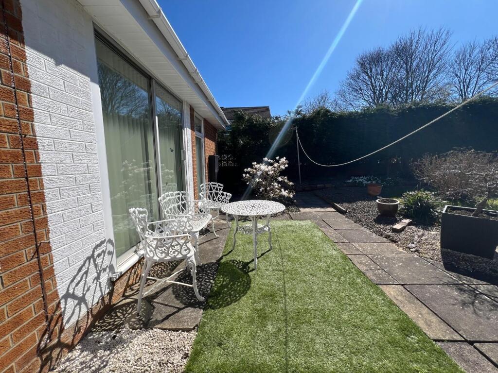
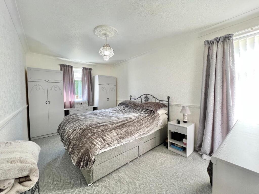
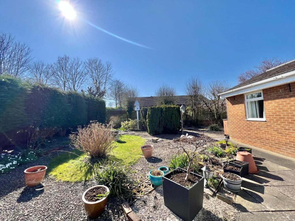
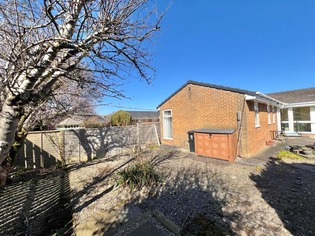
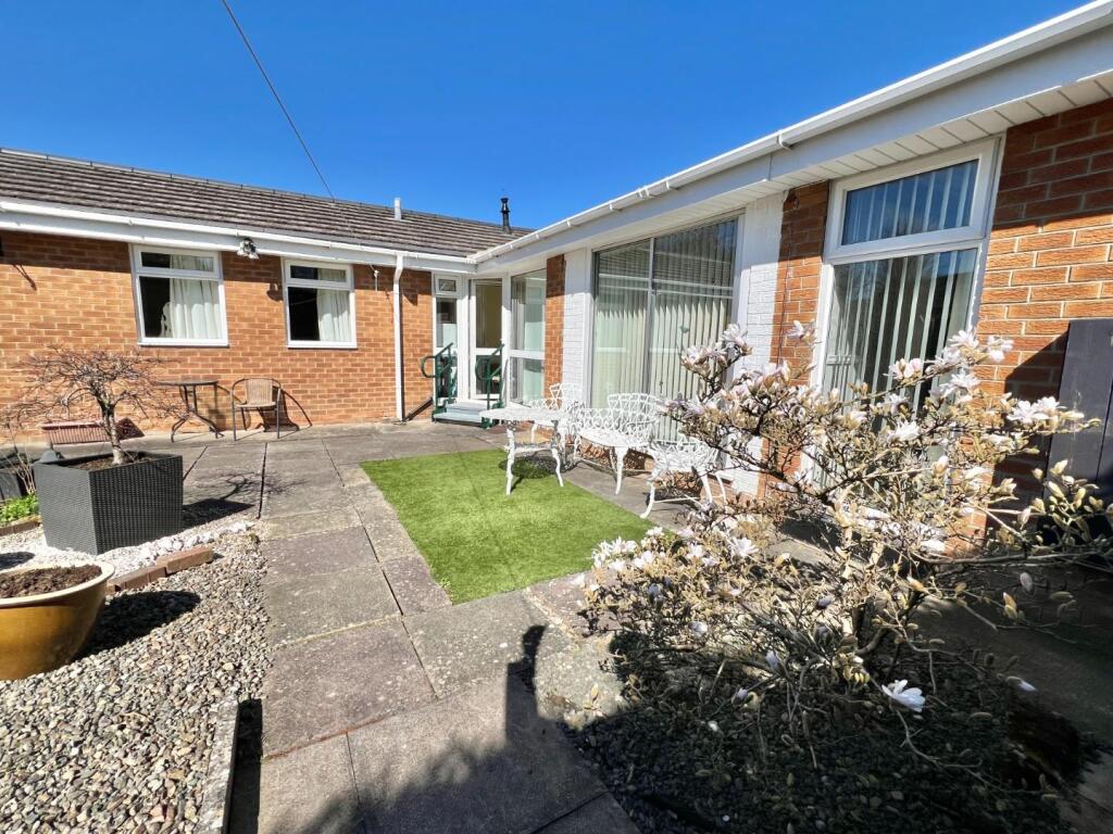
Sitting on a generous size plot in a pleasant cul-de-sac within a short distance away from Crook town centre is this spacious 3/4 bedroom detached bungalow. The property has gardens to both front and rear and off road parking. The bungalow is warmed by gas central heating via combinatio...
Property Oracle says ..
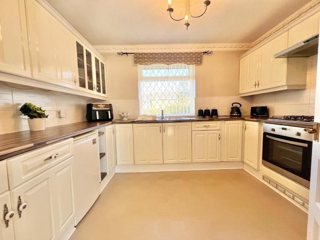
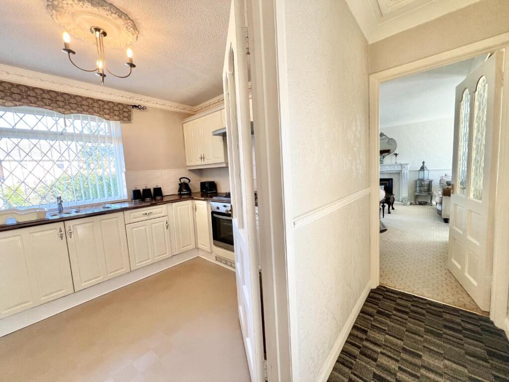
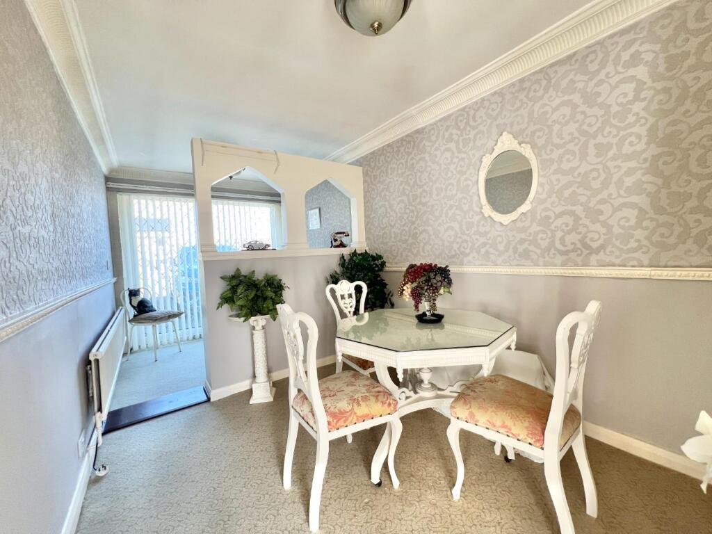
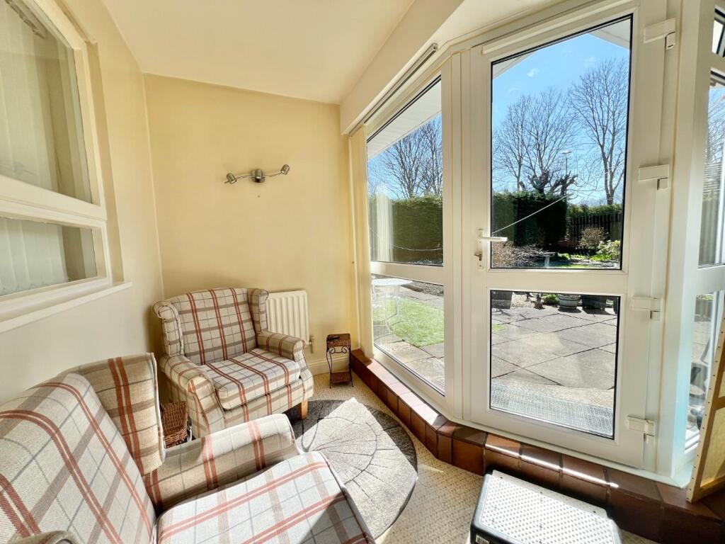
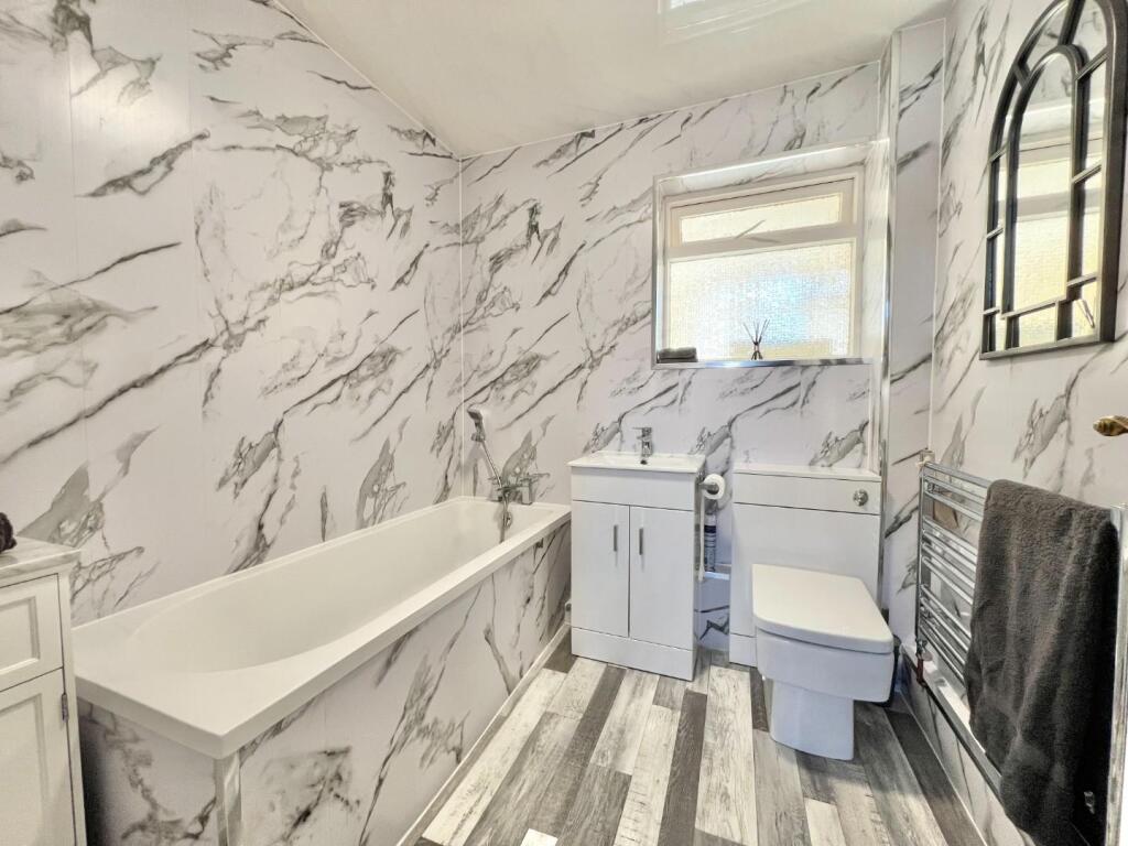
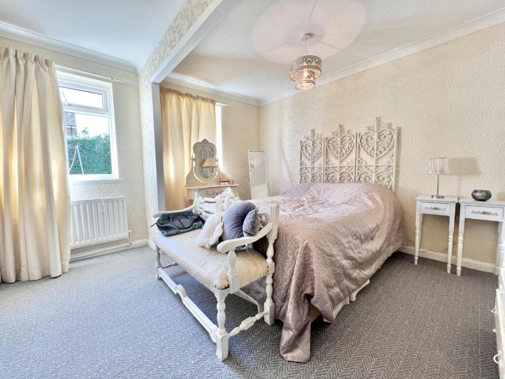
Location: Crook is a small town in County Durham, England. The property’s proximity to several primary schools makes it attractive to families. However, information on secondary schools and other amenities is not available to make a complete assessment of the location score. Condition: Based on the provided images, the property appears to be in good condition. The interior is well-maintained and recently decorated, suggesting that significant renovations are not needed. The kitchen and bathroom appear modern and updated. The property presents a clean and well-kept appearance. Land: The property includes a garden, as shown in the images. The garden appears to be of a reasonable size for a detached bungalow. The plot size is given as 1,187 sqft which is a decent size for a property of this type. Price: The list price is £235,000. The average price for properties in the area is £140,763, and the average price per sqft is £144. This property is 777 sqft, implying a price per sqft of approximately £302. This is significantly higher than the average price per sqft in the area. However, without further details on the property’s specific features and the condition of comparable properties, it is difficult to definitively assess whether the price is reasonable. The higher price per sqft may be justified by the property’s good condition, the presence of a garden, and potentially other features not detailed in the provided information.
Therefore, we give this property 7 / 10. *Disclaimer: This is our option and does constitute a recommendation or financial advice. Do your own research. *
- Price
- 6
- Condition
- 9
- Location
- 6
- Land
- 7
- Bedrooms
- 3
- Bathrooms
- 1
- Sqft (est)
- 777.00
- Lot (est)
- 1,187.00
The heatmap indicates the level of crime in the area. The color of the heatmap indicates the crime severity and recency.
Metrics Year-on-Year
- Average area value
- 91,250.00 £Decreased by 43.42 %
- Est sale value
- 84,693.00 £Decreased by 25.34 %
- Average area rental value
- 550.00 £/moDecreased by 6.14 %
- Est letting value
- 0.00 £/mo
- Est rental Yield
- 7.23 %Increased by 65.83 %
- Crime Rate
- 6.00 %Unchanged by 0.00 %
Agent Activity
Robinsons created the listing.
Nearby Schools
| Name | Type | Ofsted | Distance |
|---|---|---|---|
| Hartside Primary Academy | Academy Converter | 0.18 KM | |
| Crook Primary School | Community School | Good | 1.01 KM |
| Peases West Primary School | Community School | Good | 1.21 KM |
| St Cuthberts Roman Catholic Voluntary Aided Primary School | Voluntary Aided School | Good | 1.45 KM |
| Stanley (Crook) Primary School | Community School | Good | 2.53 KM |
Images


Nearby Streets
| Name | Average Price | Average Sqft | Distance |
|---|---|---|---|
| Lister Terrace | £ 0 | 0 | 0.00 KM |
| Coronation Street | £ 0 | 0 | 0.00 KM |
| Percy Street | £ 0 | 0 | 0.00 KM |
| Meadow Cottages | £ 0 | 0 | 0.00 KM |
| Laurel Gardens | £ 0 | 0 | 0.00 KM |
Nearby Listings
| Address | Price | Type | Score | Distance |
|---|---|---|---|---|
| Swingfield Close, Crook | £ 235,000 | BUY | 7 / 10 | 0.00 KM |
| High Hope Street, Crook | £ 75,000 | BUY | 6 / 10 | 0.11 KM |
| Bank Foot Grove, Crook | £ 105,000 | BUY | 7 / 10 | 0.15 KM |
| High Hope Street, Crook | £ 120,000 | BUY | 7 / 10 | 0.18 KM |
| High Hope Street, Crook | £ 60,000 | BUY | 6 / 10 | 0.20 KM |
Nearby Properties
| Address | Price | Distance |
|---|---|---|
| 7 Swingfield Close | £ 110,000 | 0.03 KM |
| 16 Swingfield Close | £ 111,000 | 0.03 KM |
| 6 Swingfield Close | £ 49,000 | 0.03 KM |
| 12 Swingfield Close | £ 119,995 | 0.03 KM |
| 9 Swingfield Close | £ 80,000 | 0.03 KM |