MA
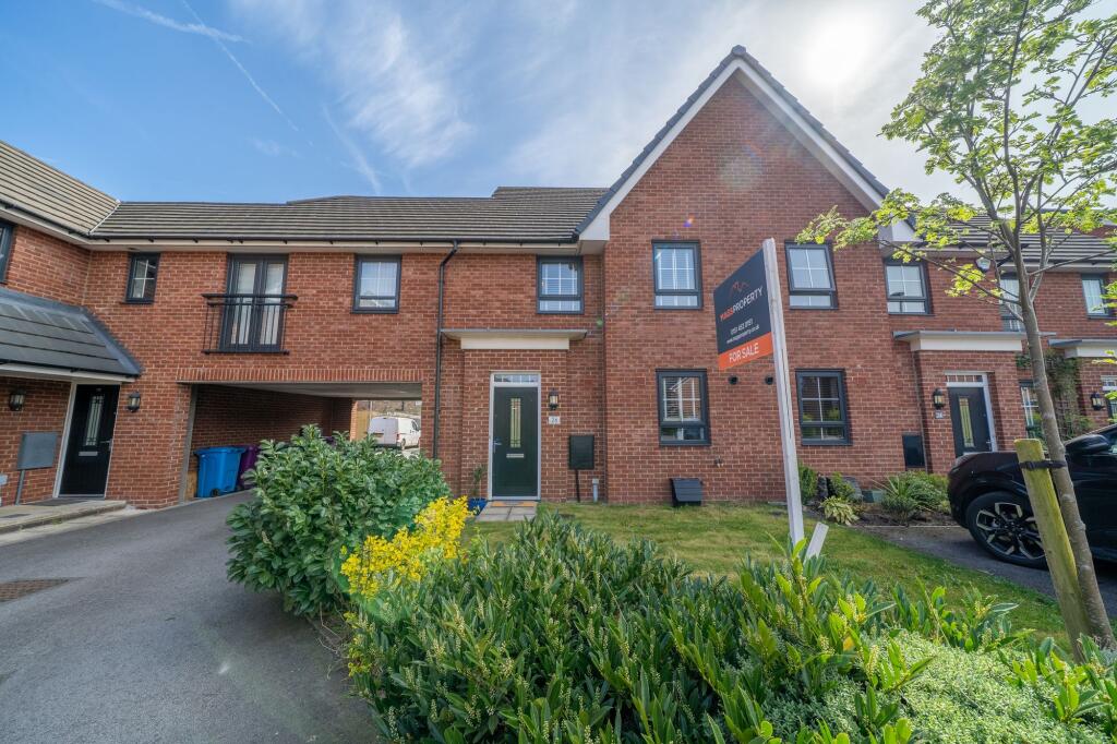
Ramsbury Drive, Liverpool, L24
By Mags Property
£ 240,000
Mags Property says ..
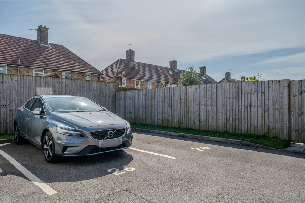
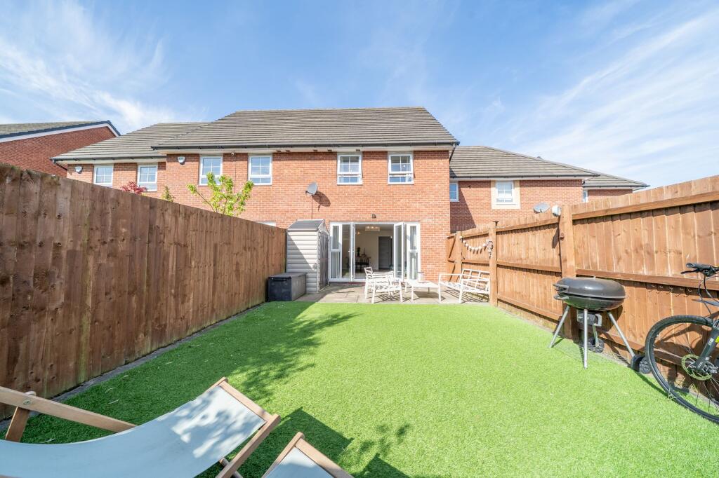
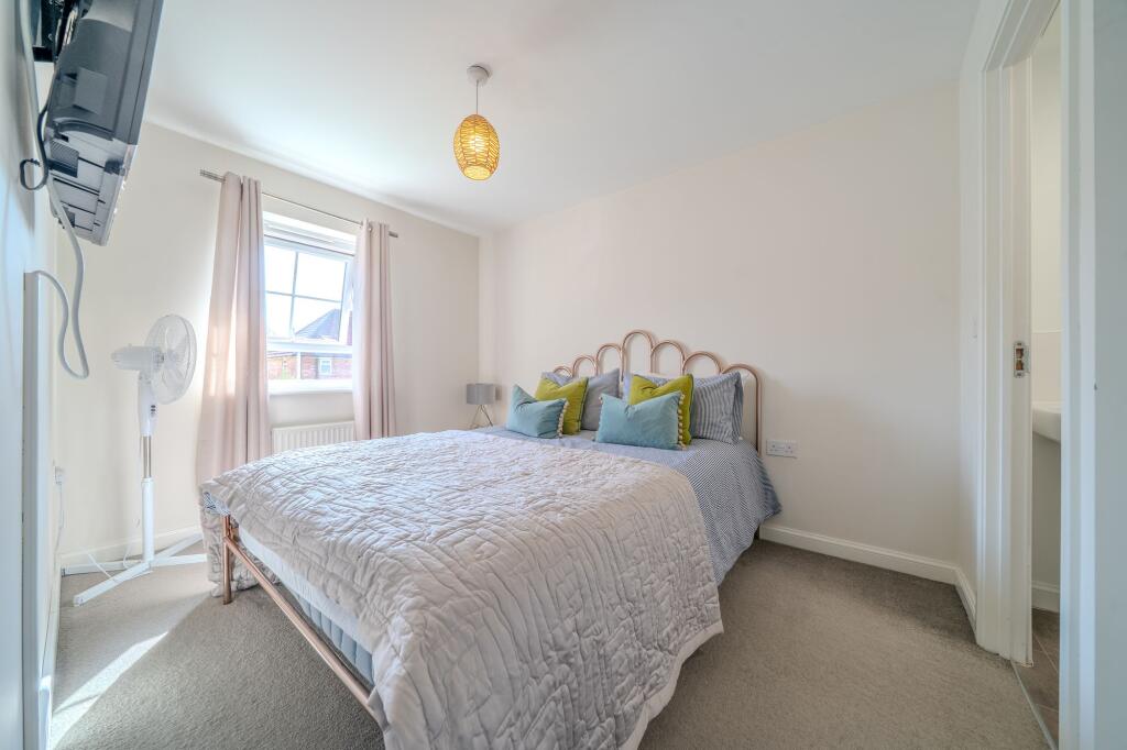
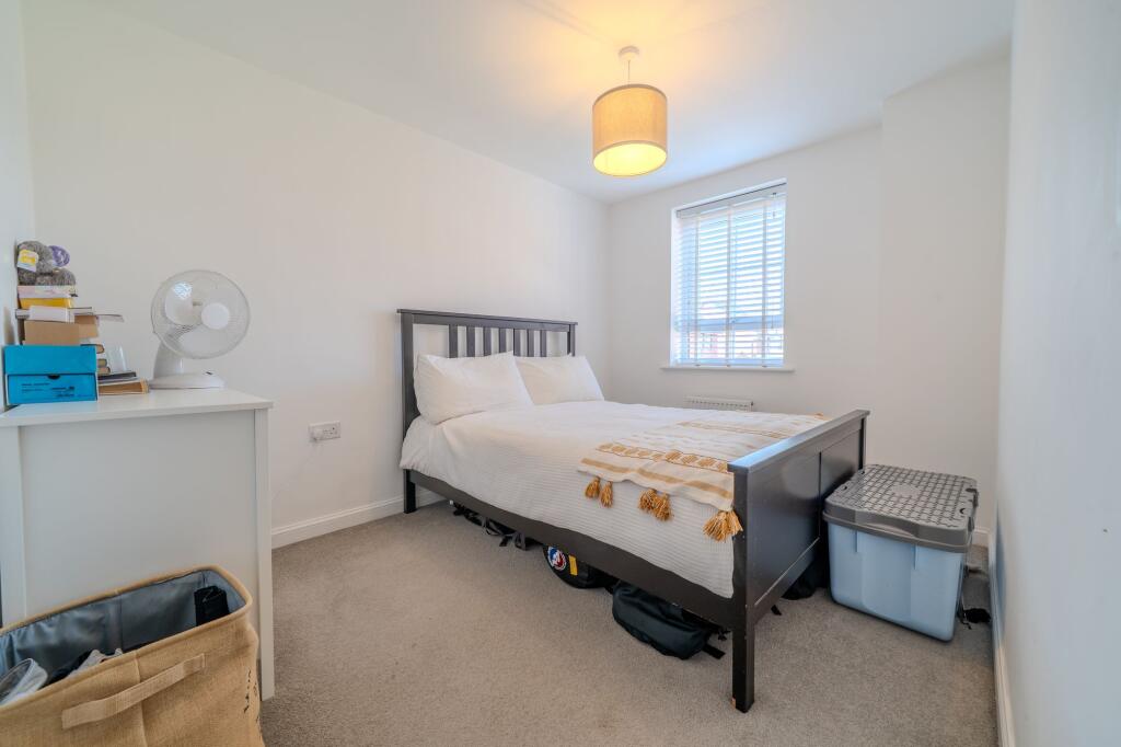
**4 BEDROOM FAMILY HOME OFFERED WITH NO CHAIN** **2 ALLOCATED PARKING BAYS** **CLOSE TO JOHN LENNON AIRPORT & NEW MERSEY RETAIL SHOPPING PARK**
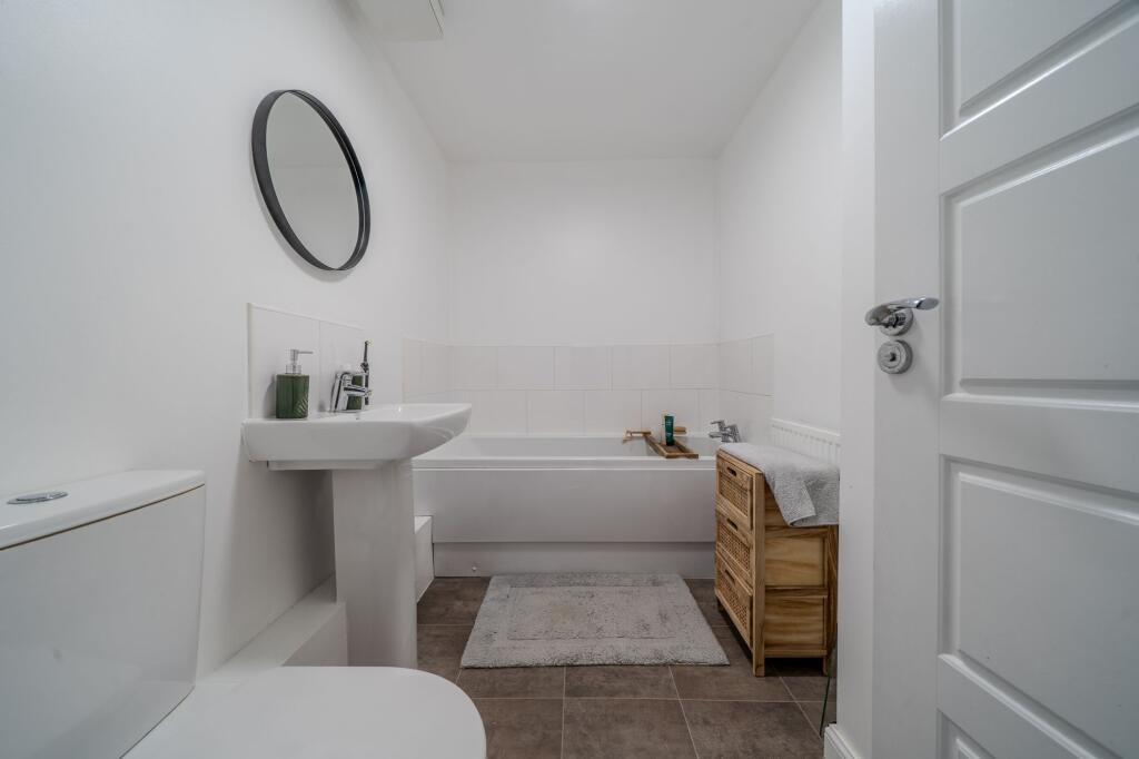
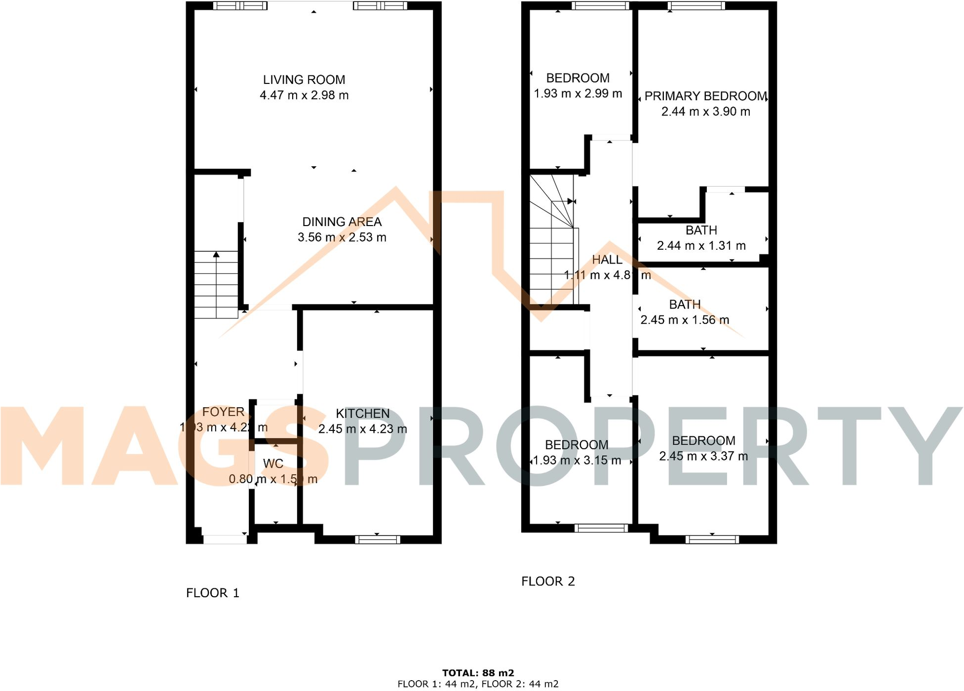
- Bedrooms
- 4
- Bathrooms
- 2
The heatmap indicates the level of crime in the area. The color of the heatmap indicates the crime severity and recency.
Metrics Year-on-Year
- Average area value
- 215,000.00 £Increased by 32.09 %
- Average area rental value
- 885.00 £/moDecreased by 5.25 %
- Est rental Yield
- 4.94 %Decreased by 28.30 %
- Crime Rate
- 13.00 %Unchanged by 0.00 %
from 162,764.00 £
from 934.00 £/mo
from 6.89 %
from 13.00 %
Agent Activity
Mags Property created the listing.
Nearby Schools
| Name | Type | Ofsted | Distance |
|---|---|---|---|
| Stockton Wood Community Primary School | Community School | Good | 0.57 KM |
| Hunts Cross Primary School | Community School | Requires improvement | 1.55 KM |
| St Christopher'S Catholic Primary School | Voluntary Aided School | Good | 1.67 KM |
| Formerly Hunts Cross Children'S Centre | Children's Centre Linked Site | 1.67 KM | |
| Speke Children'S Centre | Children's Centre | 1.97 KM |
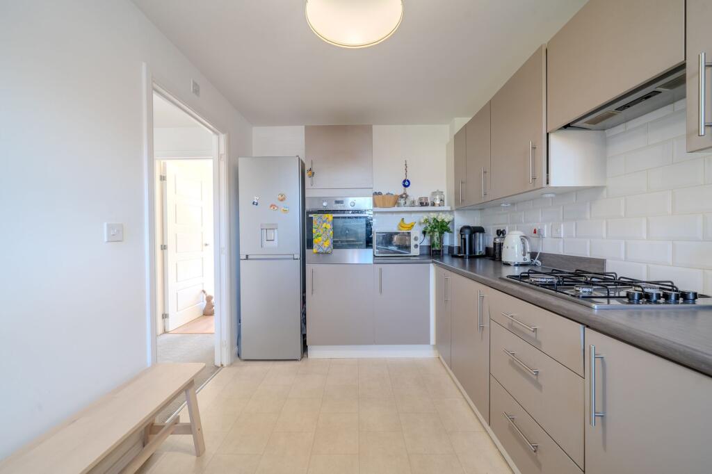
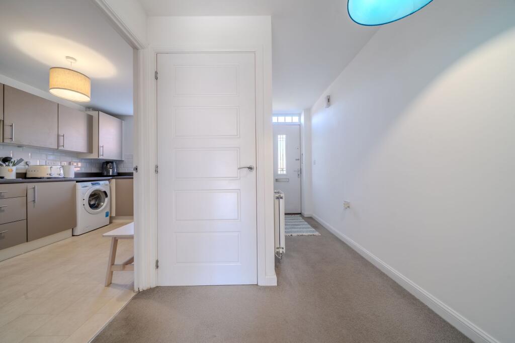
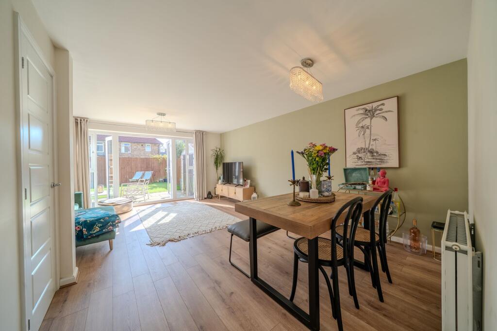
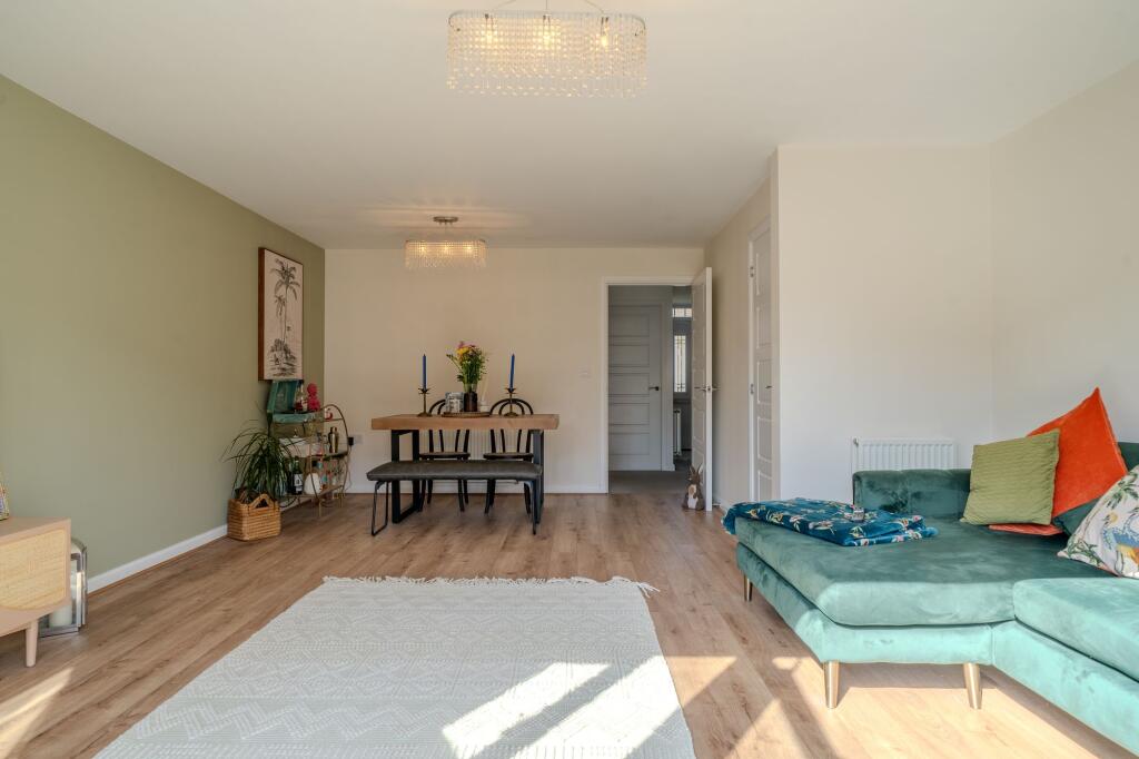
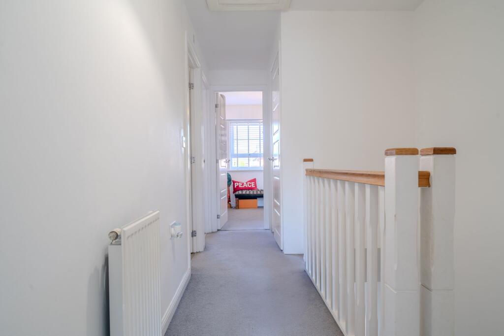
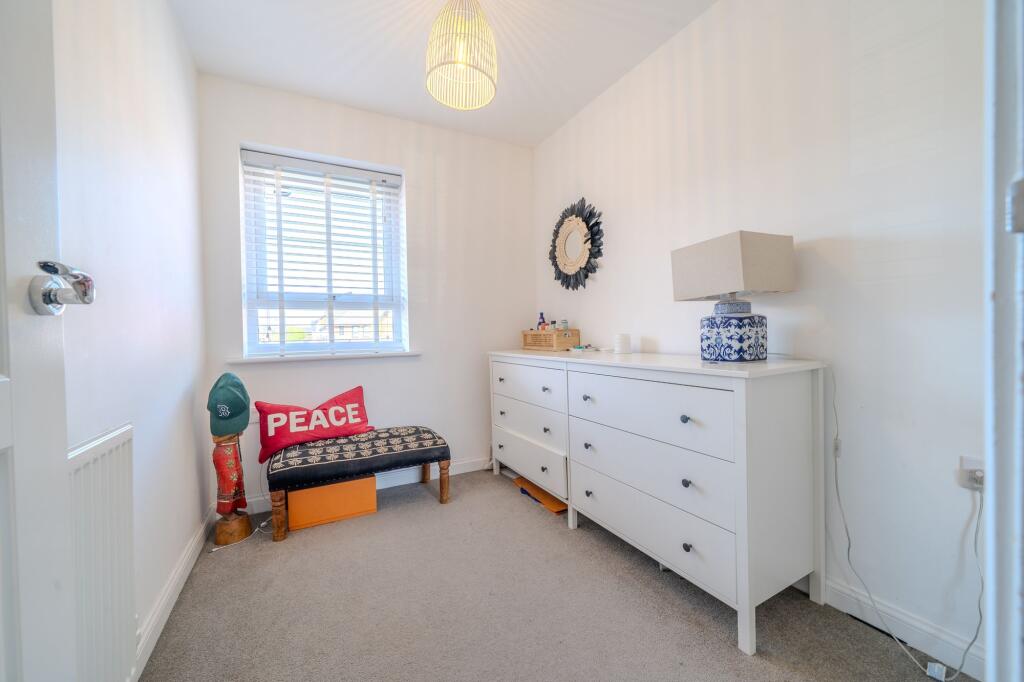
Images


Nearby Streets
| Name | Average Price | Average Sqft | Distance |
|---|---|---|---|
| Longman Drive | £ 0 | 0 | 0.00 KM |
| Stewards Road | £ 250,000 | 0 | 0.00 KM |
| Fenton Close | £ 0 | 0 | 0.00 KM |
| Enstone Road | £ 280,000 | 0 | 0.00 KM |
| Fleming Road | £ 0 | 0 | 0.00 KM |
Nearby Transport
| Name | NLC | TLC | Distance |
|---|---|---|---|
| Hunts Cross | 2235 | HNX | 1.77 KM |
| Liverpool South Parkway | 9709 | LPY | 3.47 KM |
| Halewood | 2295 | HED | 3.96 KM |
| West Allerton | 2266 | WSA | 5.79 KM |
| Cressington | 2225 | CSG | 5.90 KM |
Nearby Listings
| Address | Price | Type | Score | Distance |
|---|---|---|---|---|
| Ramsbury Drive, Liverpool, L24 | £ 240,000 | BUY | Unknown | 0.00 KM |
| Ramsbury Drive, L24 | £ 165,000 | BUY | 6 / 10 | 0.01 KM |
| Ramsbury Drive, Liverpool, L24 | £ 250,000 | BUY | 6 / 10 | 0.03 KM |
| Cartwrights Farm, Liverpool, L24 | £ 240,000 | BUY | 7 / 10 | 0.10 KM |
| School Way, Speke, Liverpool, Merseyside, L24 | £ 145,000 | BUY | Unknown | 0.11 KM |
Nearby Properties
| Address | Price | Distance |
|---|---|---|
| 76 School Way | £ 300 | 0.10 KM |
| 48 School Way | £ 63,500 | 0.10 KM |
| 46 School Way | £ 75,000 | 0.10 KM |
| 6 Gerneth Road | £ 79,000 | 0.18 KM |
| 10 Gerneth Road | £ 87,000 | 0.18 KM |