NI
S2 - Edmund Road -July 2025
By Nicholas Humphreys
£ 70
Nicholas Humphreys says ..
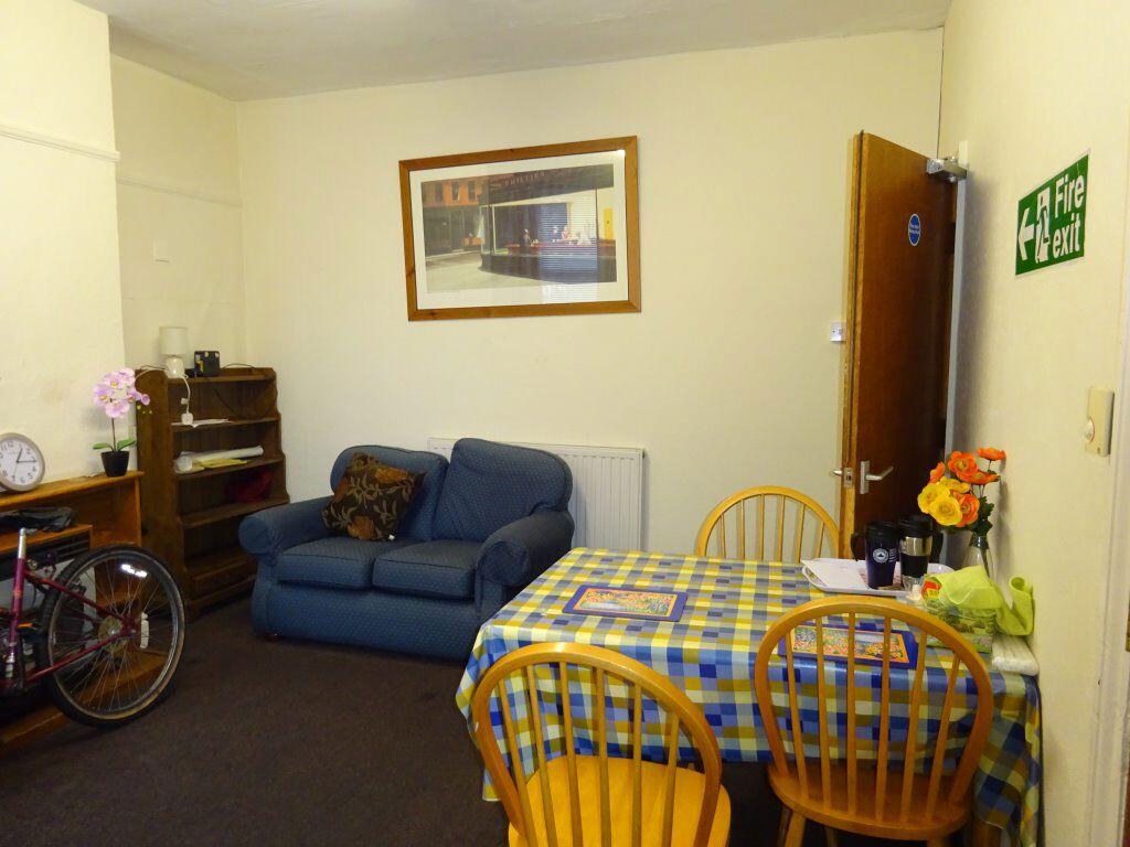
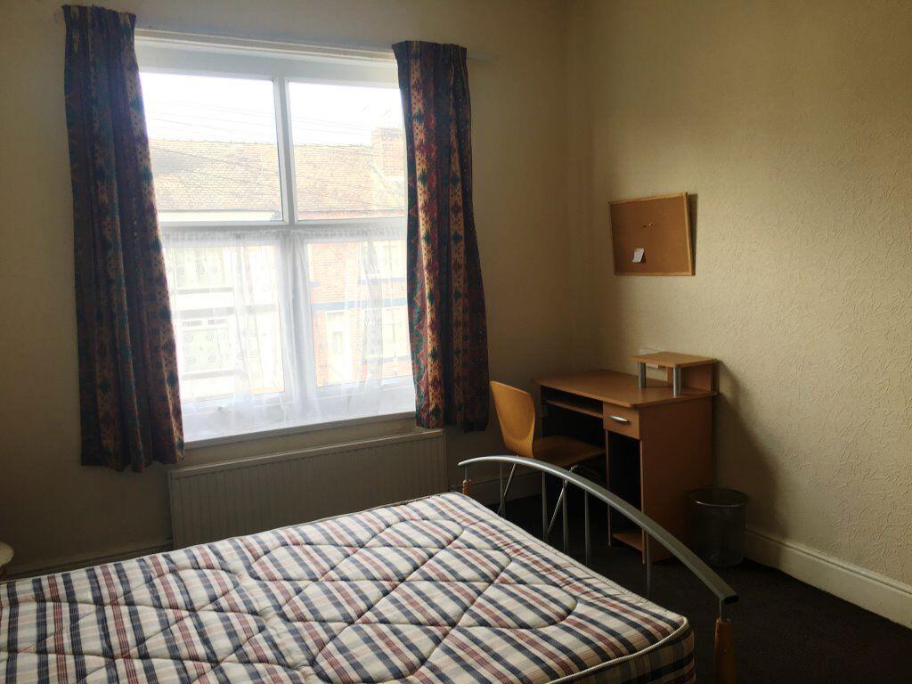
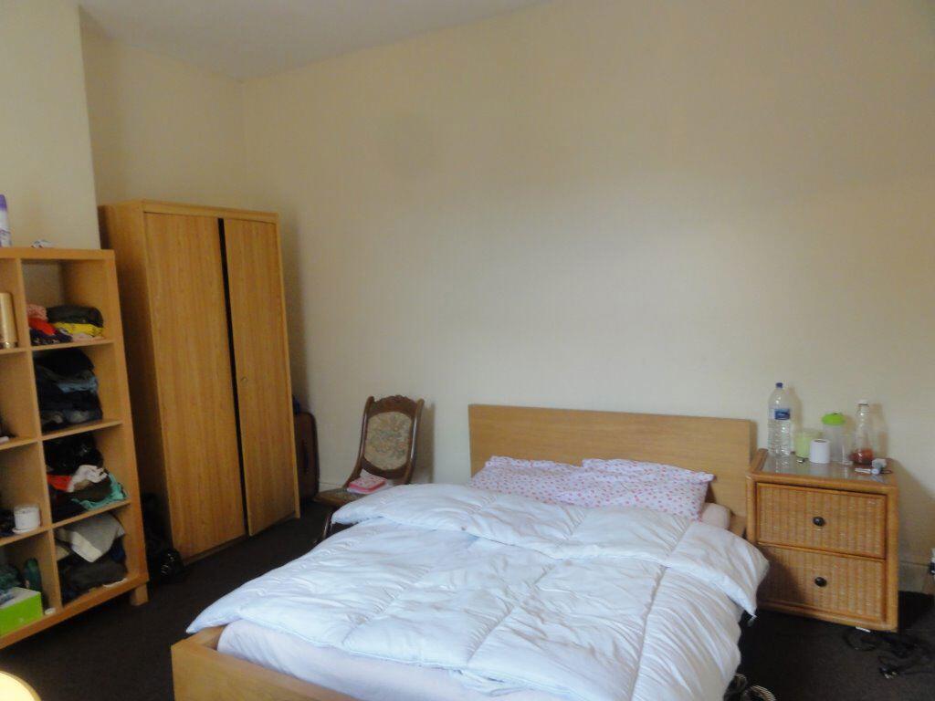
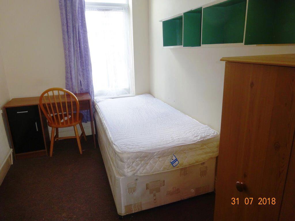
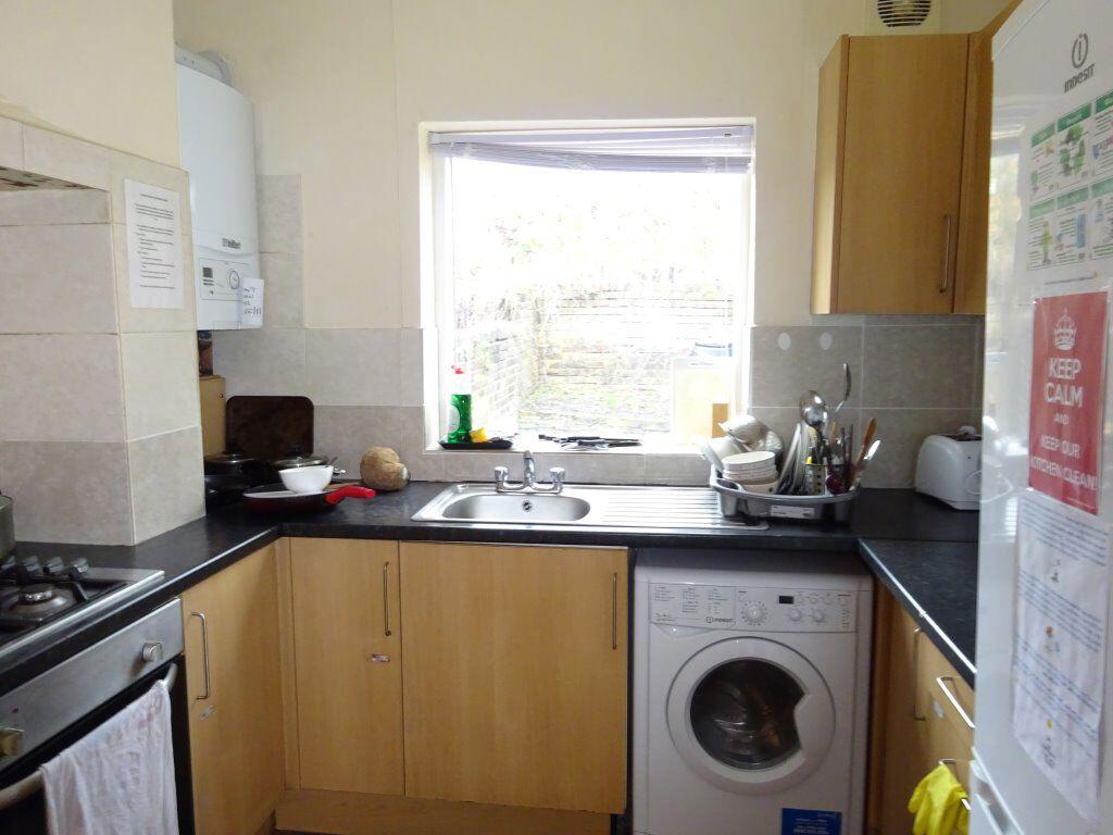
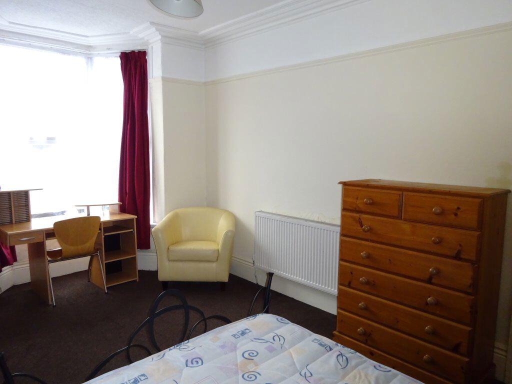
**3 Double Bedrooms and a spare room**Fitted Kitchen**Lounge/Diner**Bills Inclusive option Available at £99 per person per week
- Bedrooms
- 3
- Bathrooms
- 0
The heatmap indicates the level of crime in the area. The color of the heatmap indicates the crime severity and recency.
Metrics Year-on-Year
- Average area value
- 123,441.00 £Decreased by 13.64 %
- Average area rental value
- 1,222.00 £/moIncreased by 27.69 %
- Est rental Yield
- 11.88 %Increased by 47.95 %
- Crime Rate
- 2.00 %Unchanged by 0.00 %
from 142,936.00 £
from 957.00 £/mo
from 8.03 %
from 2.00 %
Agent Activity
Nicholas Humphreys created the listing.
Nearby Schools
| Name | Type | Ofsted | Distance |
|---|---|---|---|
| Utc Sheffield City Centre | University Technical College | Good | 0.59 KM |
| Freeman College | Special Post 16 Institution | Good | 0.82 KM |
| Lowfield Community Primary School | Community School | Good | 0.85 KM |
| The Sheffield College | Further Education | Requires improvement | 0.87 KM |
| Seven Hills School | Community Special School | Outstanding | 0.95 KM |
Images


Nearby Streets
| Name | Average Price | Average Sqft | Distance |
|---|---|---|---|
| Silver Mill Road | £ 0 | 0 | 0.00 KM |
| Manton Street | £ 110,000 | 0 | 0.00 KM |
| Bramall Court | £ 0 | 0 | 0.00 KM |
| Porter Brook Trail | £ 0 | 0 | 0.00 KM |
| Bramall Lane | £ 0 | 0 | 0.00 KM |
Nearby Transport
| Name | NLC | TLC | Distance |
|---|---|---|---|
| Sheffield | 6691 | SHF | 1.05 KM |
| Darnall | 6729 | DAN | 6.23 KM |
| Dore And Totley | 6690 | DOR | 7.13 KM |
| Dronfield | 6616 | DRO | 7.65 KM |
| Meadowhall | 6663 | MHS | 7.98 KM |
Nearby Listings
| Address | Price | Type | Score | Distance |
|---|---|---|---|---|
| S2 - Edmund Road -July 2025 | £ 70 | RENT | Unknown | 0.00 KM |
| S2 - Edmund Road - July 2025 | £ 110 | RENT | Unknown | 0.00 KM |
| Edmund Road, Sheffield | £ 92 | RENT | Unknown | 0.01 KM |
| Edmund Road, Sheffield | £ 92 | RENT | Unknown | 0.01 KM |
| Edmund Road, Sheffield | £ 92 | RENT | Unknown | 0.01 KM |
Nearby Properties
| Address | Price | Distance |
|---|---|---|
| 199 Edmund Road | £ 170,000 | 0.05 KM |
| 175 Edmund Road | £ 167,250 | 0.05 KM |
| 151 Edmund Road | £ 177,000 | 0.06 KM |
| 183 Edmund Road | £ 197,000 | 0.06 KM |
| 205 Edmund Road | £ 125,000 | 0.06 KM |